Raritan Bay
- Saltwater
- Bay
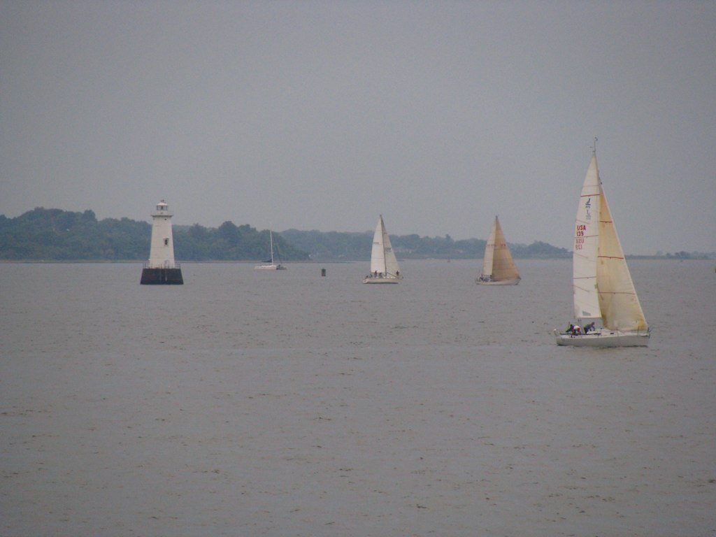
Raritan Bay
- Saltwater
- Bay
- Sq. miles
- 100
- Boat Ramps
- 4
- Access Points
- 10
- Campsites
- 5
Raritan Bay is a broad, shallow estuary where the Raritan River meets the Atlantic Ocean, forming part of the New York-New Jersey Harbor Estuary. The bay offers an urban paddling experience with views of the New York City skyline and the Jersey shore. The overall character is beginner-friendly in many sheltered areas, with calm, protected tidal waters that are suitable for first-time paddlers, especially near marinas. The bay's geography provides a natural buffer against significant ocean wave action, though conditions can become choppy, particularly at lower water levels where waves break over sand bars. Paddlers should expect tidal influence with a range of roughly six feet between high and low tide. Planning trips around slack tide is advisable for beginners, as currents can be noticeable during tidal transitions. The water is typically murky, a common condition for New Jersey bays, and the bottom is mostly mud and sand.
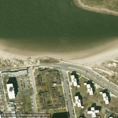
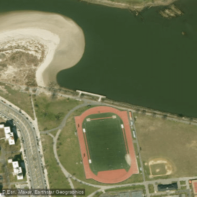
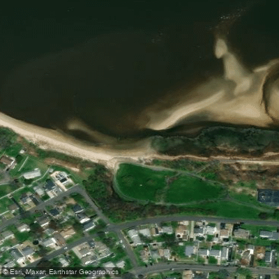
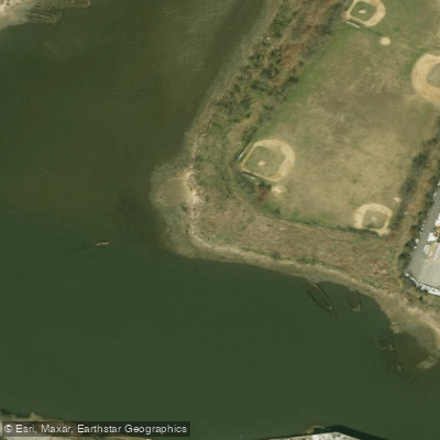
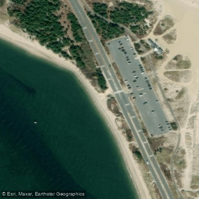
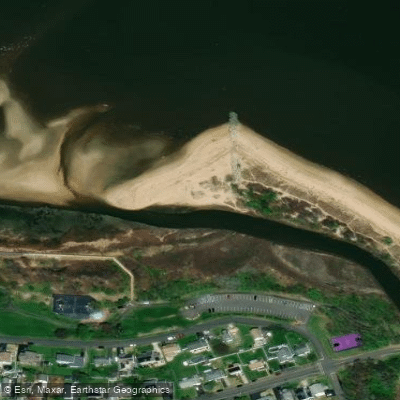
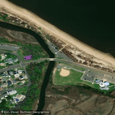
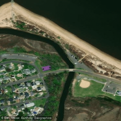
Access points for putting in and taking out are numerous along the shoreline. Specific launch locations include Raritan Bay Marina in Keansburg, which is a public boat ramp with a parking lot, and Cliffwood Beach Waterfront Park, which offers free parking but requires a haul to lug kayaks to the beach. Other potential launch spots include Sewaren (with a possible fee from Memorial Day to Labor Day), Perth Amboy, South Amboy, Laurence Harbor, Keyport, and Union Beach. Many of these allow beach launches, and a kayak cart with balloon tires is recommended for sand. It is crucial to confirm public access before visiting, as some facilities like marinas may be private or fee-based. A major consideration is timing your launch with the tide; at locations like Cliffwood Beach, low tide leaves the water far from the beach, making it best to paddle close to, during, or just after high tide.
Hazards include potential boat traffic and wake from jet skis and other vessels, particularly in harbors and channels. The bay is a popular fishing destination, which means paddlers should be aware of anglers in boats and kayaks. While the water is generally sheltered, wind exposure can vary across the open bay. There are no indicated restrictions specific to paddling, but standard safety regulations for coastal waters apply. Facilities are basic at most public access points, with amenities like parking lots and occasional seasonal bathrooms or port-a-potties. The bay's size and the mix of shoreline features, including salt marshes, provide varied paddling environments, from protected marinas to more open waters.
Water access, boat ramps & amenities
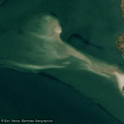
Learn how to get on Raritan Bay. Uncover great paddling access points, boat ramps, and all the facilities you need for an unforgettable day on the water. Some locations shown may border or include private property. Always check property boundaries and applicable regulations before visiting. PaddleWays's Public & Private Land layer can help you plan your access with confidence.
Paddle smarter with real-time insights
Whether you're en route and conditions shift or you're looking for the best spot based on current flows, we enable you to make informed decisions on the fly.








Find Places to Paddle

Over 400,000 Places to Paddle
Every user gets free access to launch points, boat ramps, and public property parcels.


Tides, wind & water conditions (10 day forecast)
On open water, wind and tide matter as much as the weather. See the best times to paddle Raritan Bay and check the marine forecast before you launch.
Loading tide predictions…
Paddling near Raritan Bay

Hudson River

Raritan River
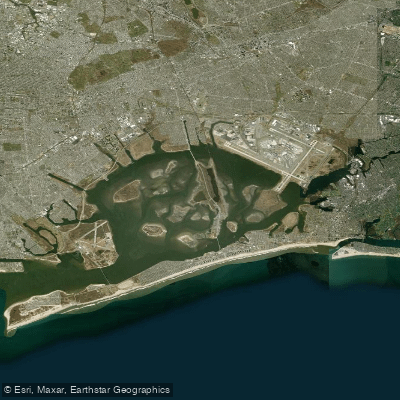
Jamaica Bay
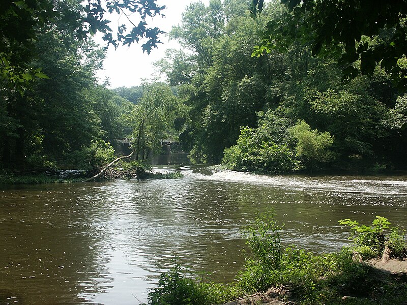
Millstone River
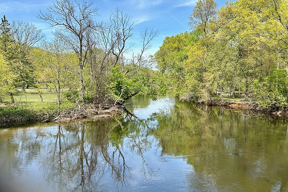
Rockaway River
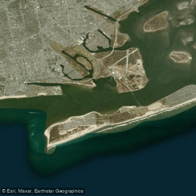
Rockaway Inlet

Delaware River
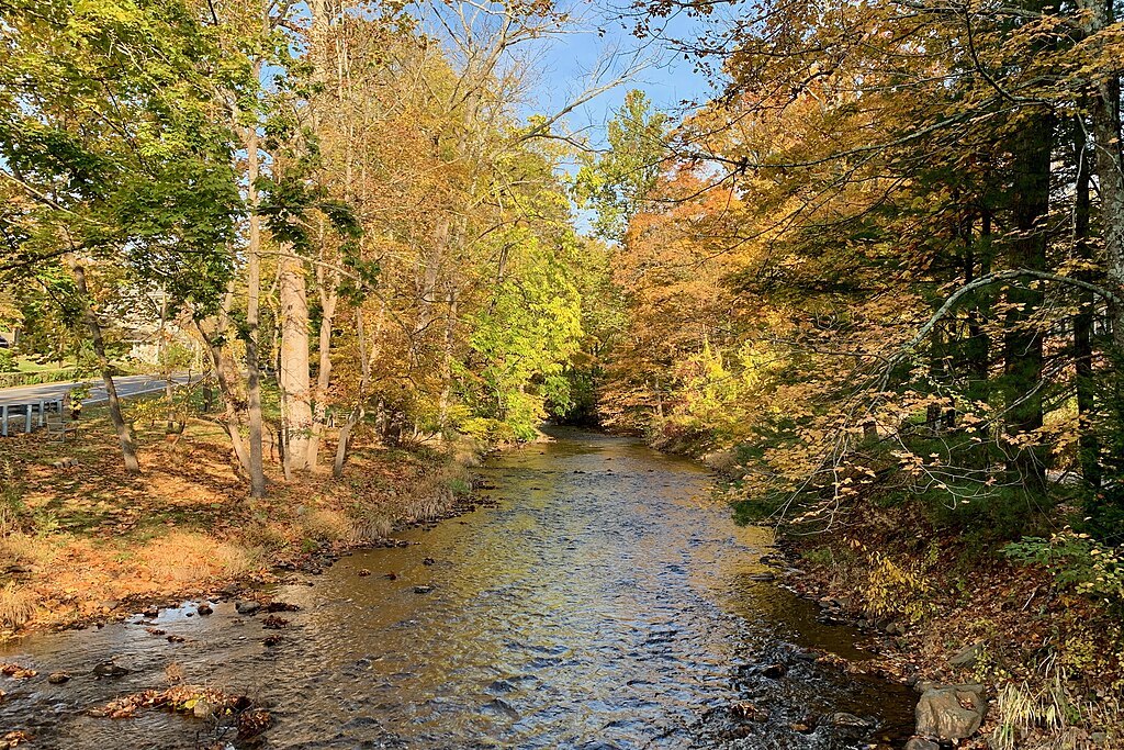
Lamington River
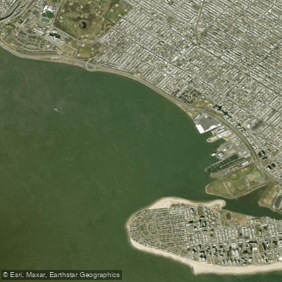
Gravesend Bay
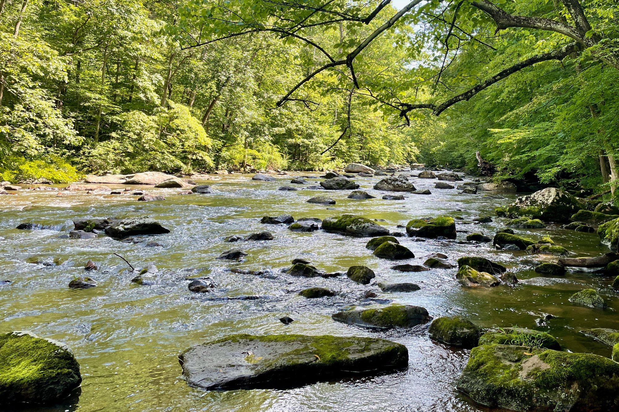
South Branch Raritan River
Explore New Jersey waters
Top paddling waters
Popular Cities
Loading popular cities...
Explore near Raritan Bay
Access points
Nearby waters
More in New Jersey

Smarter Paddling Starts in the App.
Paddleways gives you everything you need to plan smarter, paddle better, and own every trip from first launch to takeout.