Pine Island Meadow
- Saltwater
- Sea area
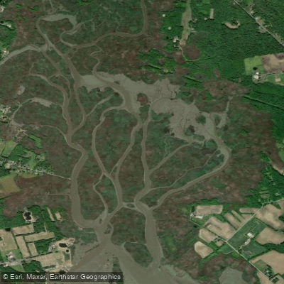
Pine Island Meadow
- Saltwater
- Sea area
- Sq. miles
- 1
- Boat Ramps
- 0
- Access Points
- 0
- Campsites
- 0
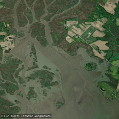
Pine Island Meadow is a tidal saltwater marsh located in the Delaware River estuary, appearing on the USGS Penns Grove topo map. It is situated within a complex network of coastal wetlands, with nearby features including Mud Hole Meadow, The Dyke, and Kates Creek Meadow to the south, and the larger Christina River to the north. This area is characterized by its low-lying, marshy topography, with elevations near sea level. For paddlers, this is a marine environment governed by tidal currents from the Delaware River. Access points are not explicitly detailed, but its proximity to listed locations like Game Creek, the Christina River, and various coves suggests potential put-ins may be found along these adjacent waterways, requiring local research for specific launch sites. The paddling experience will be heavily influenced by the substantial tidal range of the Delaware Bay. Paddlers must plan trips around tide charts, aiming to travel with the flood tide to penetrate the meadow's channels and against the ebb to return, as fighting a strong ebb current in open water can be hazardous. The area is exposed to winds coming off the Delaware River, which can build chop, especially over longer fetches. Boat traffic from the main shipping channel of the Delaware River is a significant consideration; crossing any major channels requires extreme caution and awareness of large commercial vessels. The marsh itself offers a flatwater experience through tidal creeks and grassy meadows, providing habitat for coastal bird species and presenting a typical estuarine landscape. Water quality can be variable, influenced by the river's flow and tidal mixing. There is no mention of specific paddling restrictions, but paddlers should be aware of standard navigational rules and any protected area designations for surrounding marshes like Supawna Meadows.
Water access, boat ramps & amenities
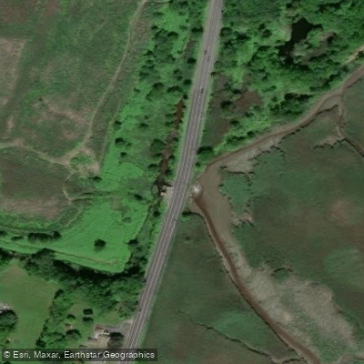
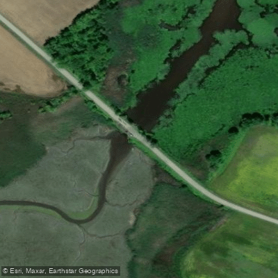
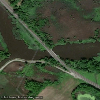
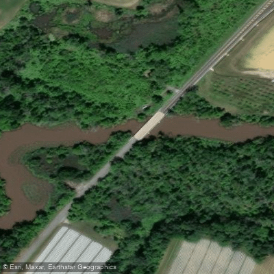
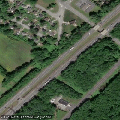
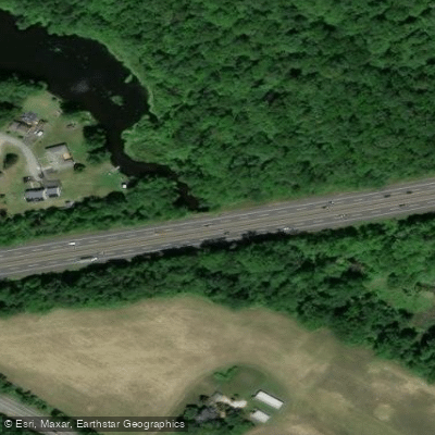
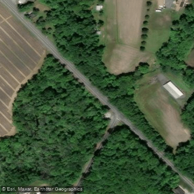
Learn how to get on Pine Island Meadow. Uncover great paddling access points, boat ramps, and all the facilities you need for an unforgettable day on the water. Some locations shown may border or include private property. Always check property boundaries and applicable regulations before visiting. PaddleWays's Public & Private Land layer can help you plan your access with confidence.
Paddle smarter with real-time insights
Whether you're en route and conditions shift or you're looking for the best spot based on current flows, we enable you to make informed decisions on the fly.








Find Places to Paddle

Over 400,000 Places to Paddle
Every user gets free access to launch points, boat ramps, and public property parcels.


Tides, wind & water conditions (10 day forecast)
On open water, wind and tide matter as much as the weather. See the best times to paddle Pine Island Meadow and check the marine forecast before you launch.
Loading tide predictions…
Paddling near Pine Island Meadow

Delaware River
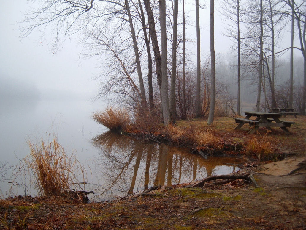
Lums Pond
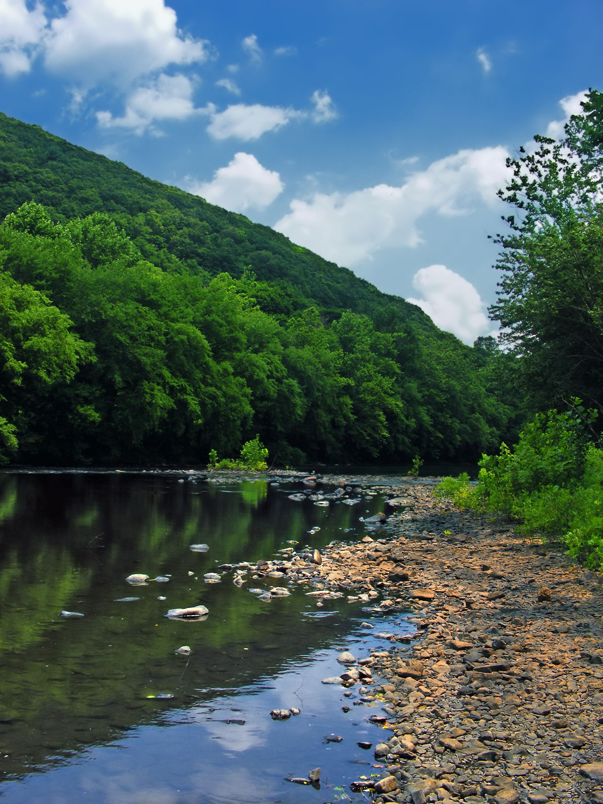
Schuylkill River
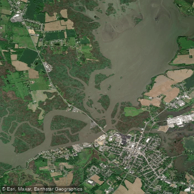
Salem River

Susquehanna River
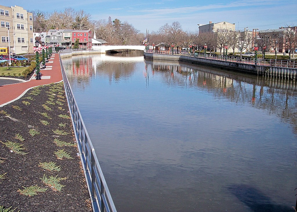
Cohansey River
Kates Creek Meadow
Lake Nockamixon
Explore New Jersey waters
Top paddling waters
Popular Cities
Loading popular cities...
Explore near Pine Island Meadow
Access points
Nearby waters
More in New Jersey

Smarter Paddling Starts in the App.
Paddleways gives you everything you need to plan smarter, paddle better, and own every trip from first launch to takeout.