Salem River
- Saltwater
- Tidal river
Salem River
- Saltwater
- Tidal river
- Sq. miles
- 1.8
- Boat Ramps
- 1
- Access Points
- 0
- Campsites
- 0
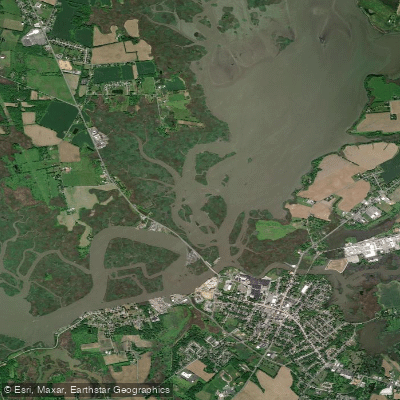
The Salem River in New Jersey is a tidal river offering a flatwater paddling experience through extensive marshland corridors, primarily within the Supawna Meadows National Wildlife Refuge. The river's character is defined by its quiet, pristine marsh environment with tall grasses, but it is a dynamic system where trip success hinges on careful tide planning. The current direction changes with the tide, and water levels can drop significantly, leaving smaller refuge channels impassable and muddy at low tide. Paddlers must consult tide charts before departing to time their trip, often planning to paddle against the current first and return with it. A key launch point for accessing the refuge is from the south side of the river, across from the refuge's southern end, such as at Sinnickson Landing Road. Another documented public boat ramp is located on Route 540 in Mannington Township. The main paddling route involves launching and heading east upstream before returning, or crossing from the launch to enter the refuge's network of channels on the western side. These channels, while beautiful, are numerous and can look very similar, increasing the risk of becoming disoriented; bringing a detailed, up-to-date map or aerial photograph is strongly advised. Wildlife viewing is a highlight, with notable sightings including bald eagles—there is a large nest visible on a power line tower near the refuge—and various waterfowl. The area is having few bothersome insects. Non-scenic power lines cross the area but are easily ignored. The water body is shared, so paddlers should be aware of other boat traffic, particularly near launches and the main river channel.
Water access, boat ramps & amenities
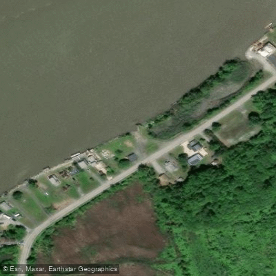
Learn how to get on Salem River. Uncover great paddling access points, boat ramps, and all the facilities you need for an unforgettable day on the water. Some locations shown may border or include private property. Always check property boundaries and applicable regulations before visiting. PaddleWays's Public & Private Land layer can help you plan your access with confidence.
Paddle smarter with real-time insights
Whether you're en route and conditions shift or you're looking for the best spot based on current flows, we enable you to make informed decisions on the fly.








Find Places to Paddle

Over 400,000 Places to Paddle
Every user gets free access to launch points, boat ramps, and public property parcels.


Tides, wind & water conditions (10 day forecast)
On open water, wind and tide matter as much as the weather. See the best times to paddle Salem River and check the marine forecast before you launch.
Loading tide predictions…
Paddling near Salem River

Delaware River
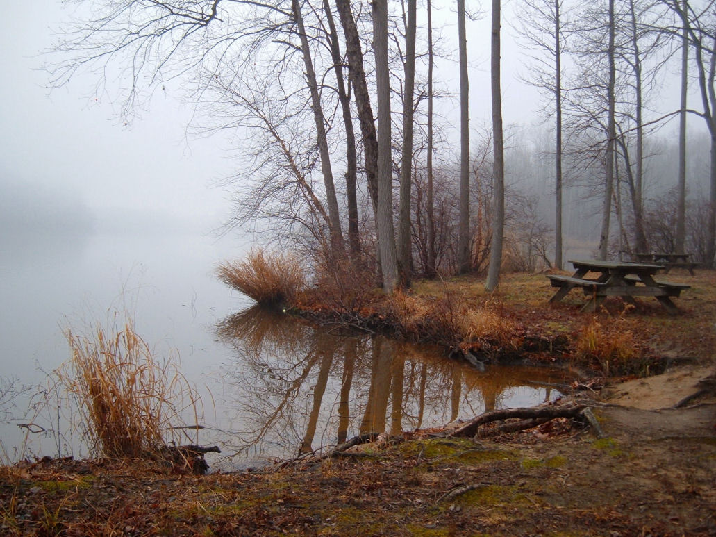
Lums Pond
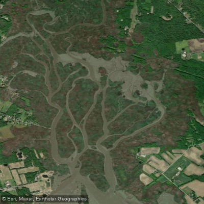
Pine Island Meadow
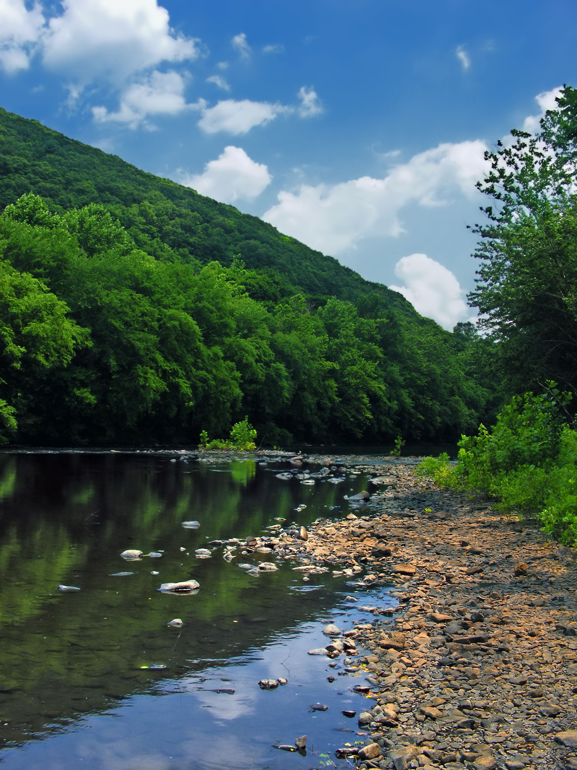
Schuylkill River

Susquehanna River
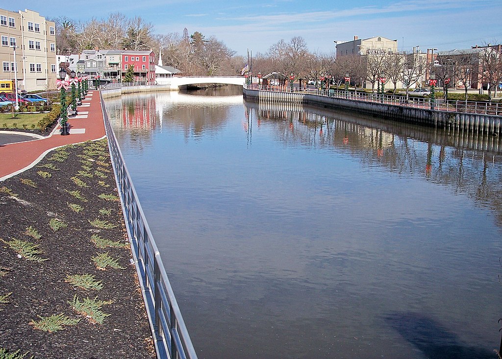
Cohansey River
Kates Creek Meadow
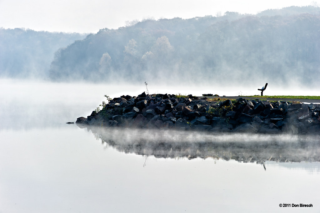
Lake Nockamixon
Explore New Jersey waters
Top paddling waters
Popular Cities
Loading popular cities...
Explore near Salem River
Access points
Nearby waters
More in New Jersey

Smarter Paddling Starts in the App.
Paddleways gives you everything you need to plan smarter, paddle better, and own every trip from first launch to takeout.