Curated by PaddleWays
RouteClass II
- Distance
- 6.1 mi
- Paddle time
- ~2 hrs
- Put-in → take-out
- Ramapo Valley Road Access → Midvale Mountain Road Access
Pair of strainers at a bend
The Ramapo River is a scenic waterway that flows for approximately 30 miles through the Ramapo Mountains of New York and New Jersey. Originating north of Tuxedo, NY, it flows generally southward, crossing into New Jersey near Mahwah before eventually joining the Pompton River in Pompton Lakes, NJ. The river offers a variety of paddling opportunities suitable for beginners to intermediate paddlers. Most sections range from Class I to II in difficulty, with occasional Class II+ rapids during high water.
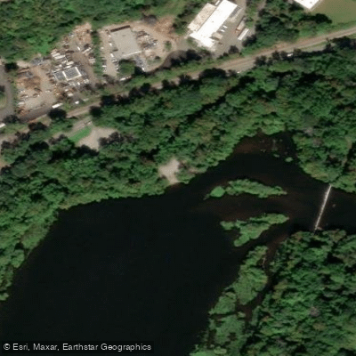
The most popular paddling route runs from Tuxedo, NY to Suffern, NY, a 7.3-mile stretch that provides a mix of gentle flows and small rapids through a picturesque mountain valley. In New Jersey, a notable 9-mile section runs from Ramapo Valley County Reservation in Mahwah to Potash Lake in Oakland. This stretch features mostly calm waters with a few small rapids, making it ideal for novice paddlers and fishing enthusiasts. The river widens significantly at Potash Lake, which is just a wide spot in the river.
The best paddling conditions typically occur in spring and early summer when water levels are highest. Late summer and fall can see low water levels, potentially requiring portaging in some areas. The river corridor supports diverse wildlife, including various fish species, birds, and occasional sightings of black bears and white-tailed deer.
Key landmarks along the river include the Ramapo Valley County Reservation, a popular recreation area offering hiking trails and fishing opportunities. The river passes under several major roadways, including Routes 17 and 287, providing easy access points for paddlers. Primary access points include: - Tuxedo, NY (put-in for NY section) - Ramapo Valley County Reservation, Mahwah, NJ - Potash Lake, Oakland, NJ
Historically, the Ramapo River played a significant role in the region's industrial development, powering mills and forges. Today, it serves as an important recreational resource and water supply for surrounding communities.
Paddlers should be aware of potential strainers, especially after storms, and fluctuating water levels. New Jersey fishing regulations apply to relevant sections. While most runs can be completed in a day, the river's length allows for potential multi-day trips with proper planning and camping arrangements.
The Ramapo River offers a accessible and enjoyable paddling experience close to major metropolitan areas, providing a natural escape into the scenic Ramapo Mountains.
Curated routes
Hand-picked by the PaddleWays team, with put-ins, take-outs, paddle times and the hazards along the way.
RouteClass II
RouteClass I–II
RouteClass I–V
Hazards
No paddler has reported a hazard here yet, so these are the dams, falls and big rapids on our map. Hazards change with flows and storms, so check them before you launch.
From the community
Nobody has shared a trip on Ramapo River yet. Paddle it, then tell the next paddler how it went.
See exactly where the public can get on and off the river. Launch points and boat ramps are paired with PaddleWays' public land data so you know where you can legally land.
Public shoreline
39%of the river's shoreline is public
Most of the riverbank is private. Launch, land and camp only at public access points.
Flows, weather and a route-by-route verdict, so you know which stretch of the Ramapo River is worth paddling today.
All Flow Stations
Live flows, marked hazards and fresh trip reports from paddlers who were just on the water, all in one place.





Every user gets free access to launch points, boat ramps, and public property parcels.


Loading popular cities...
PaddleWays gives you everything you need to plan smarter, paddle better, and own every trip from first launch to takeout.