Haverstraw Bay
- Saltwater
- Bay
Haverstraw Bay
- Saltwater
- Bay
- Sq. miles
- 1.7
- Boat Ramps
- 2
- Access Points
- 0
- Campsites
- 1
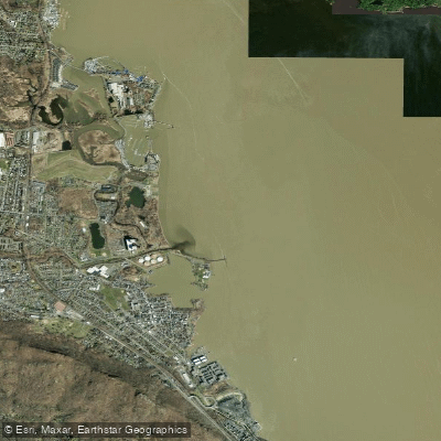
Haverstraw Bay is the widest section of the Hudson River, spanning nearly three to three and a half miles across. This expansive, open bay creates significant exposure to wind and weather, with conditions often described as choppy and windy. The fetch across the bay can generate substantial wave action, particularly when southwest winds blow diagonally across the river. Paddlers should be prepared for a workout when heading into the wind. The bay experiences tidal currents, and paddlers report that the river's flow can sometimes differ from predicted tide charts. Points of land, such as Croton Point, can feature bouncy tide rips, especially when combined with wind. During summer afternoons, the bay is busy with commercial and recreational boat traffic, including pleasure craft, tugboats, and barges moving up and down the main Hudson River channel. Paddlers must maintain constant vigilance for this traffic, especially when making the wide open-water crossing, and should practice conservative right-of-way etiquette.
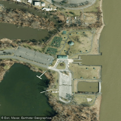
Primary launch sites include Haverstraw Bay County Park on the western shore in Rockland County, which features a double-wide concrete boat ramp, universally-accessible floating docks, and an adaptive kayak launch. Parking is available for approximately 50 vehicles with trailers. The boat launch is not maintained during winter months. On the eastern shore, Croton Point Park in Westchester County offers a launch site with kayak and stand-up paddleboard rentals available seasonally from Memorial Day to Labor Day. This park charges a cash-only parking fee. Paddling from Croton Point provides views across the bay's wide expanse into Half Moon Bay. Due to the bay's width and exposure, trips are best undertaken by experienced paddlers on calm days with minimal wind, as conditions can become challenging quickly. Early mornings or weekdays may offer lighter boat traffic compared to busy summer weekends. The area holds historical significance, notably as a sheltered anchorage for the US naval fleet during World War II blackouts.
Water access, boat ramps & amenities
Learn how to get on Haverstraw Bay. Uncover great paddling access points, boat ramps, and all the facilities you need for an unforgettable day on the water. Some locations shown may border or include private property. Always check property boundaries and applicable regulations before visiting. PaddleWays's Public & Private Land layer can help you plan your access with confidence.
Paddle smarter with real-time insights
Whether you're en route and conditions shift or you're looking for the best spot based on current flows, we enable you to make informed decisions on the fly.








Find Places to Paddle

Over 400,000 Places to Paddle
Every user gets free access to launch points, boat ramps, and public property parcels.


Tides, wind & water conditions (10 day forecast)
On open water, wind and tide matter as much as the weather. See the best times to paddle Haverstraw Bay and check the marine forecast before you launch.
Loading tide predictions…
Paddling near Haverstraw Bay

Hudson River

Croton River
Peekskill Bay
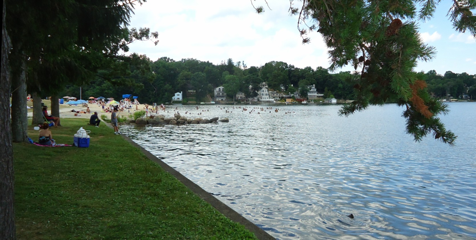
Lake Hopatcong
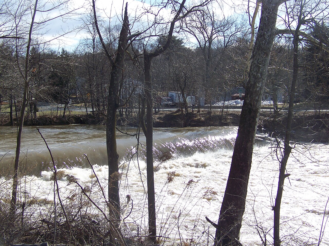
Wappinger Creek

Housatonic River

Delaware River
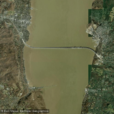
Tappan Zee
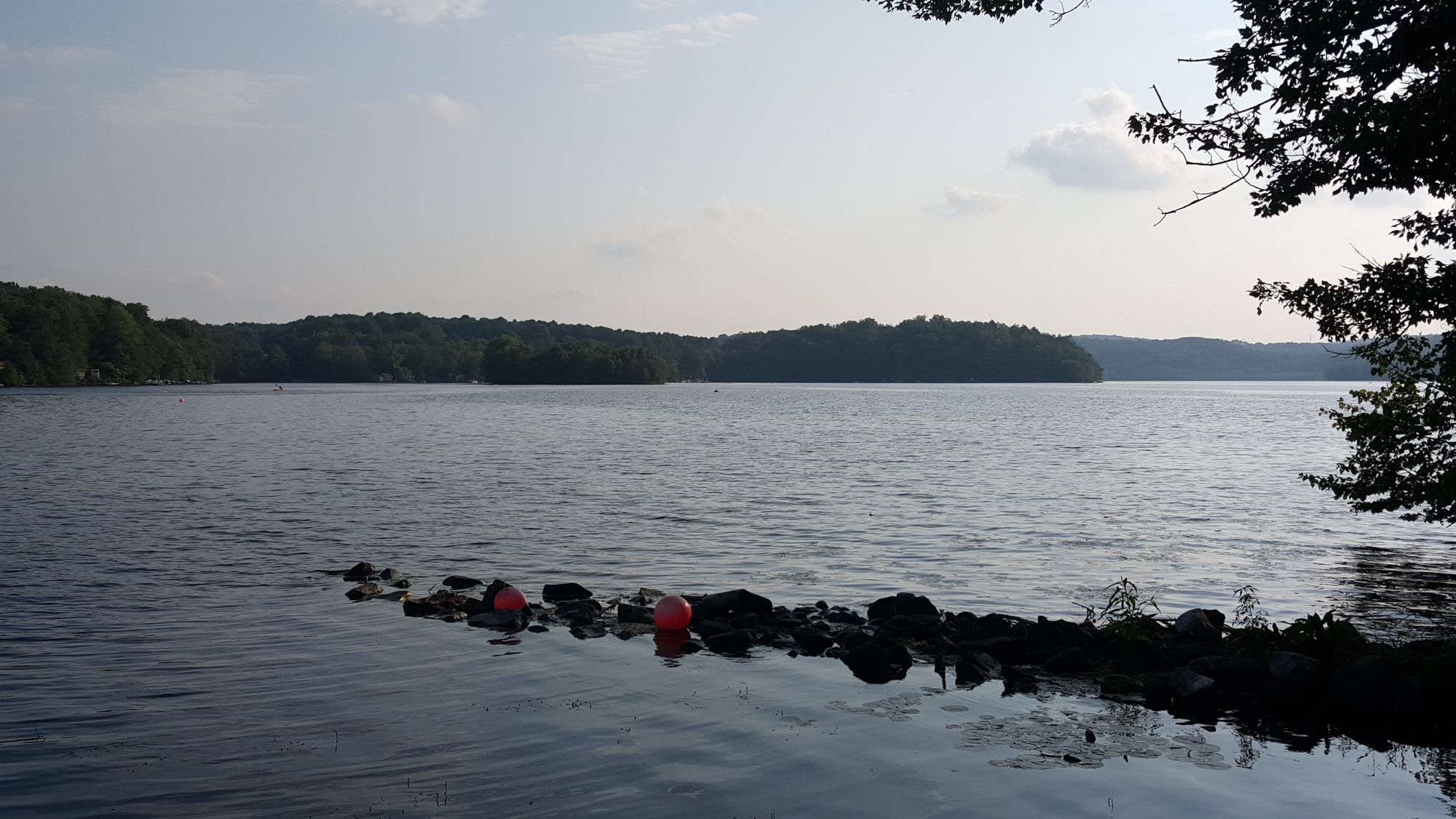
Swartswood Lake
Explore New York waters
Top paddling waters
Popular Cities
Loading popular cities...
Explore near Haverstraw Bay
Access points
Nearby waters
More in New York

Smarter Paddling Starts in the App.
Paddleways gives you everything you need to plan smarter, paddle better, and own every trip from first launch to takeout.