Curated by PaddleWays
RouteFlatwater
- Distance
- 0.5 mi
- Paddle time
- ~0.5 hrs
- Best for
- Kayak
- Put-in & take-out
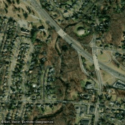
- Rochelle Park Access
Potential obstacles and variable water levels
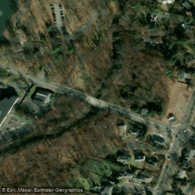
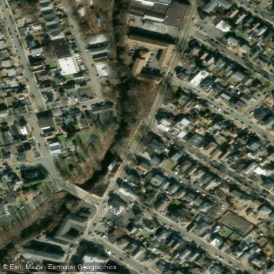
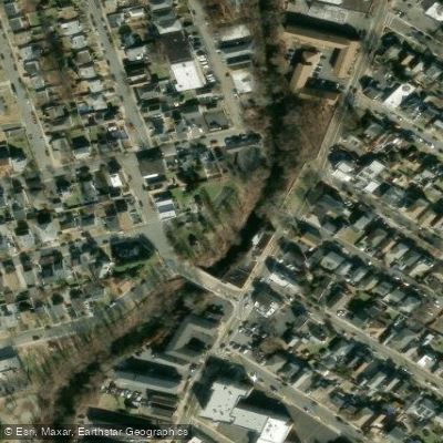
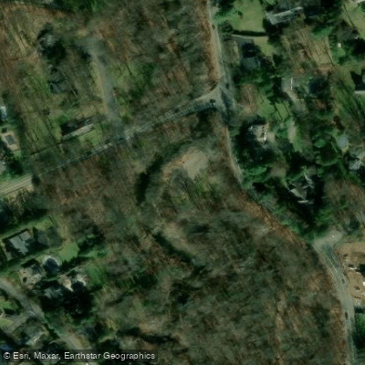
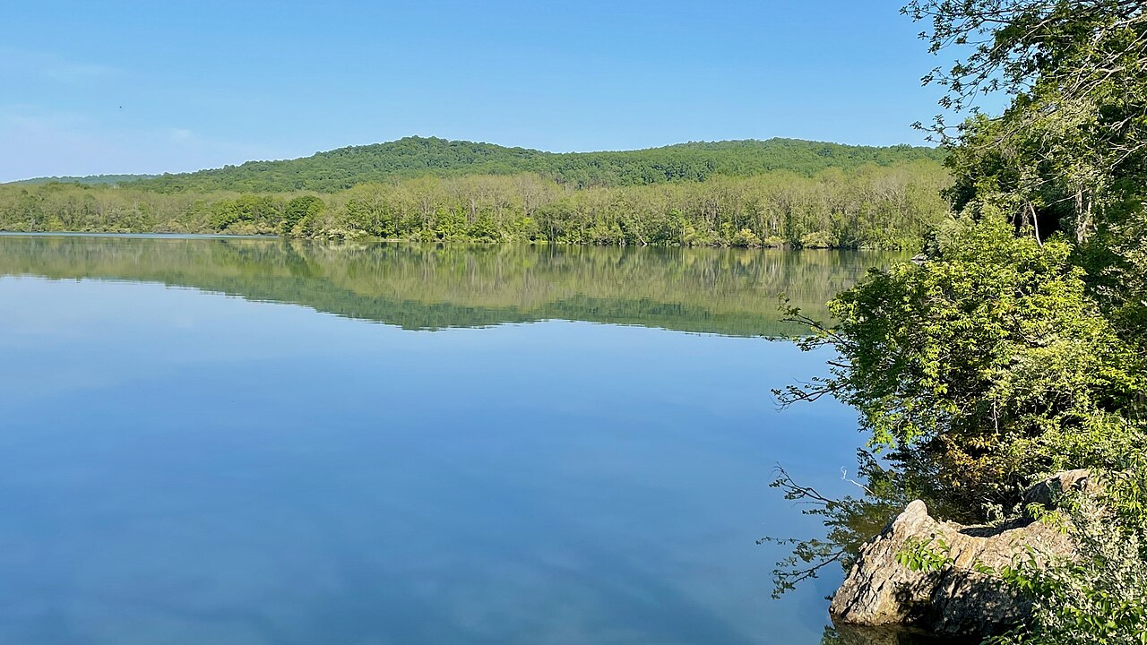
The Saddle River is a scenic waterway that flows through Bergen County in northeastern New Jersey. Originating near the New York state border, it travels south for approximately 16 miles before joining the Passaic River near Garfield. The river and its tributaries drain a watershed of about 61 square miles. Paddling opportunities on the Saddle River are primarily concentrated within Saddle River County Park, a 577-acre linear park that follows the river through several municipalities. The park offers a mix of flatwater paddling on ponds and gentle river sections, making it suitable for beginners and families. The main paddling route through the park is about 6.8 miles long, stretching from the Wild Duck Pond Area in Ridgewood to Rochelle Park.
The difficulty of paddling the Saddle River ranges from easy flatwater on ponds to Class I-II moving water on some river sections, depending on water levels. Most areas are appropriate for novice paddlers, but some basic river reading skills may be needed in faster sections. Spring and early summer typically offer the best paddling conditions when water levels are higher. Late summer and fall can see lower water levels, potentially limiting navigation in some areas. Winter paddling is possible but requires cold water gear and experience.
The river corridor supports a diverse ecosystem, with common sightings of waterfowl, turtles, and various fish species. Deciduous forests line much of the banks, providing scenic paddling through tree-canopied sections. Key landmarks include the Wild Duck Pond, Glen Rock ponds, Dunkerhook waterfall, and several historic bridges. The park offers numerous access points, with major put-ins at Ridgewood, Glen Rock, Paramus, Fair Lawn, and Rochelle Park.
Historically, the Saddle River powered mills and supported early industry in the region. Today, it serves as an important recreational resource for the densely populated Bergen County area. Paddlers should be aware of potential strainers and low-head dams, especially after heavy rains. New Jersey boating regulations apply, including mandatory life jacket use. Fishing is permitted with a valid state license in designated areas. While primarily suited for day trips, the connected park system allows for the possibility of multi-day adventures by combining paddling with cycling or hiking along the adjacent multi-use trail. The Saddle River offers a unique urban paddling experience, allowing visitors to explore nature while never straying far from the amenities of Bergen County's towns and parks.
Curated routes
Hand-picked by the PaddleWays team, with put-ins, take-outs, paddle times and the hazards along the way.
RouteFlatwater
RouteFlatwater
Hazards
Reported by paddlers, with the dams, falls and big rapids on our map. Hazards change with flows and storms, so check them before you launch.
StrainerLodi
No details were given with this report.
HazardLodi
Not sure where others are getting in and out, but this is all i found.
From the community
Nobody has shared a trip on Saddle River yet. Paddle it, then tell the next paddler how it went.
See exactly where the public can get on and off the river. Launch points and boat ramps are paired with PaddleWays' public land data so you know where you can legally land.
Public shoreline
46%of the river's shoreline is public
Most of the riverbank is private. Launch, land and camp only at public access points.
Flows, weather and a route-by-route verdict, so you know which stretch of the Saddle River is worth paddling today.
All Flow Stations
Live flows, marked hazards and fresh trip reports from paddlers who were just on the water, all in one place.





Every user gets free access to launch points, boat ramps, and public property parcels.


Loading popular cities...
PaddleWays gives you everything you need to plan smarter, paddle better, and own every trip from first launch to takeout.