Woodbridge Creek
- Saltwater
- Tidal creek
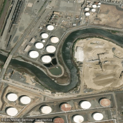
Woodbridge Creek
- Saltwater
- Tidal creek
- Sq. miles
- 0
- Boat Ramps
- 0
- Access Points
- 0
- Campsites
- 0
Woodbridge Creek is a tidal creek located in Sewaren, New Jersey, within the Hudson-Raritan Estuary. It is a saltwater feature subject to significant tidal influence, with a mean tidal range of approximately 5.7 feet. Tides here can exceed six feet during high tide, and paddlers must plan their trips around these cycles. The creek flows under the Woodbridge Avenue Bridge, a notable landmark. Paddling access points and boat ramps are available. The water body is part of an active restoration and mitigation effort related to harbor deepening, indicating ongoing environmental management. The area is used for organized paddling tours, such as those offered by local conservation groups in the summer months, suggesting the creek is considered suitable for recreational kayaking. Given its estuarine nature, paddlers should anticipate potential boat traffic, especially near its confluence with larger waterways, and must be prepared for currents that change direction with the tide. Wind exposure can be significant on open water sections. There are no indications of specific paddling restrictions, but water quality in urban estuaries can vary. The surrounding area has industrial and historical elements, including references to a ship graveyard in the broader region, which may be of interest during tours. Facilities for paddlers are available. Paddlers should consult current tide charts for Woodbridge Creek #1 station and local marine forecasts before departure, as conditions are entirely governed by tidal forces and weather.
Water access, boat ramps & amenities
Learn how to get on Woodbridge Creek. Uncover great paddling access points, boat ramps, and all the facilities you need for an unforgettable day on the water. Some locations shown may border or include private property. Always check property boundaries and applicable regulations before visiting. PaddleWays's Public & Private Land layer can help you plan your access with confidence.
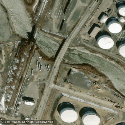
Woodbridge Creek Bridge
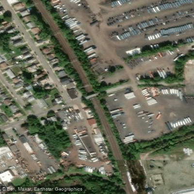
North Jersey Coast Line Bridge
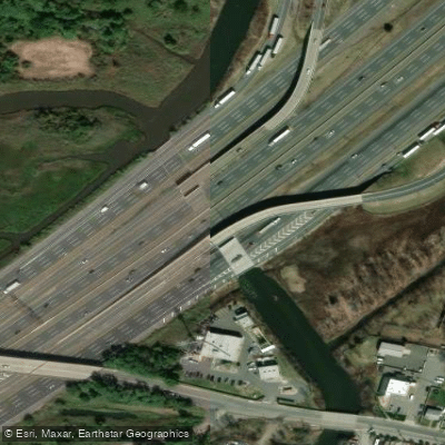
Woodbridge River Bridge
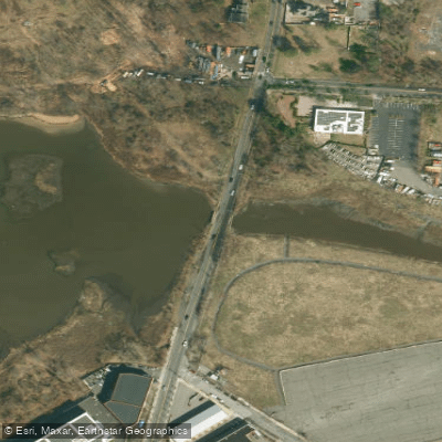
Arthur Kill Strm Bridge
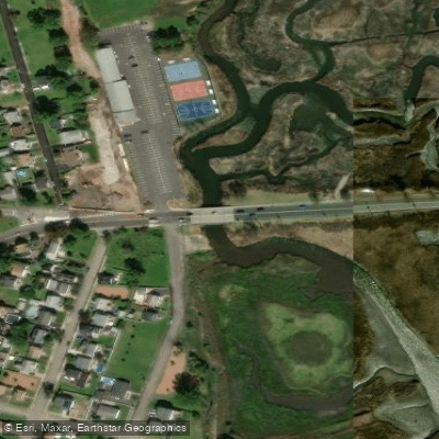
/woodbridge Creek Bridge
Heards Brook Bridge
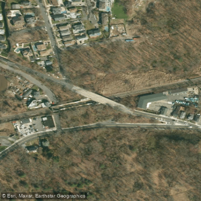
Sirt South Shore Creek Bridge
Maguire Avenue Bridge
Woodbridge Creek Bridge
Raritan River Smith St. Bridge
Paddle smarter with real-time insights
Whether you're en route and conditions shift or you're looking for the best spot based on current flows, we enable you to make informed decisions on the fly.








Find Places to Paddle

Over 400,000 Places to Paddle
Every user gets free access to launch points, boat ramps, and public property parcels.


Tides, wind & water conditions (10 day forecast)
On open water, wind and tide matter as much as the weather. See the best times to paddle Woodbridge Creek and check the marine forecast before you launch.
Loading tide predictions…
Paddling near Woodbridge Creek

Raritan River

Hudson River
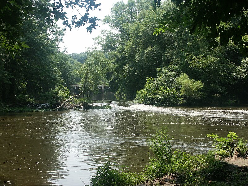
Millstone River
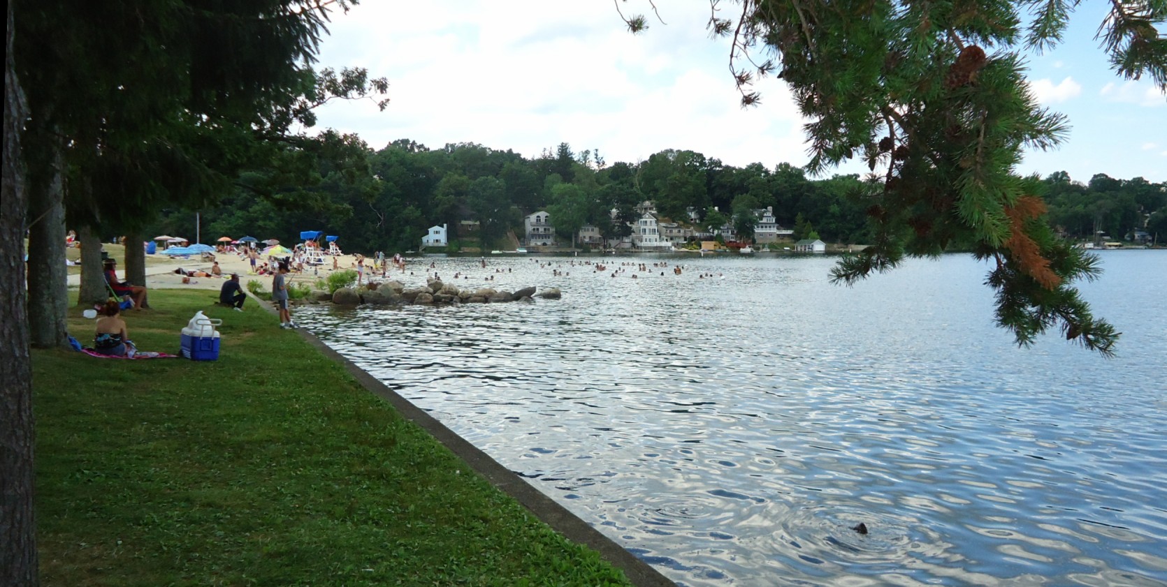
Lake Hopatcong
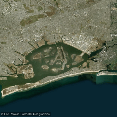
Jamaica Bay
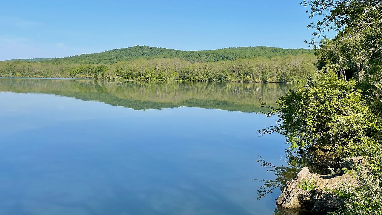
Spruce Run Reservoir

Delaware River
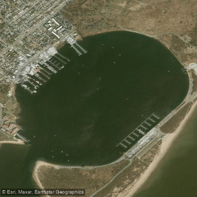
Great Kills Harbor
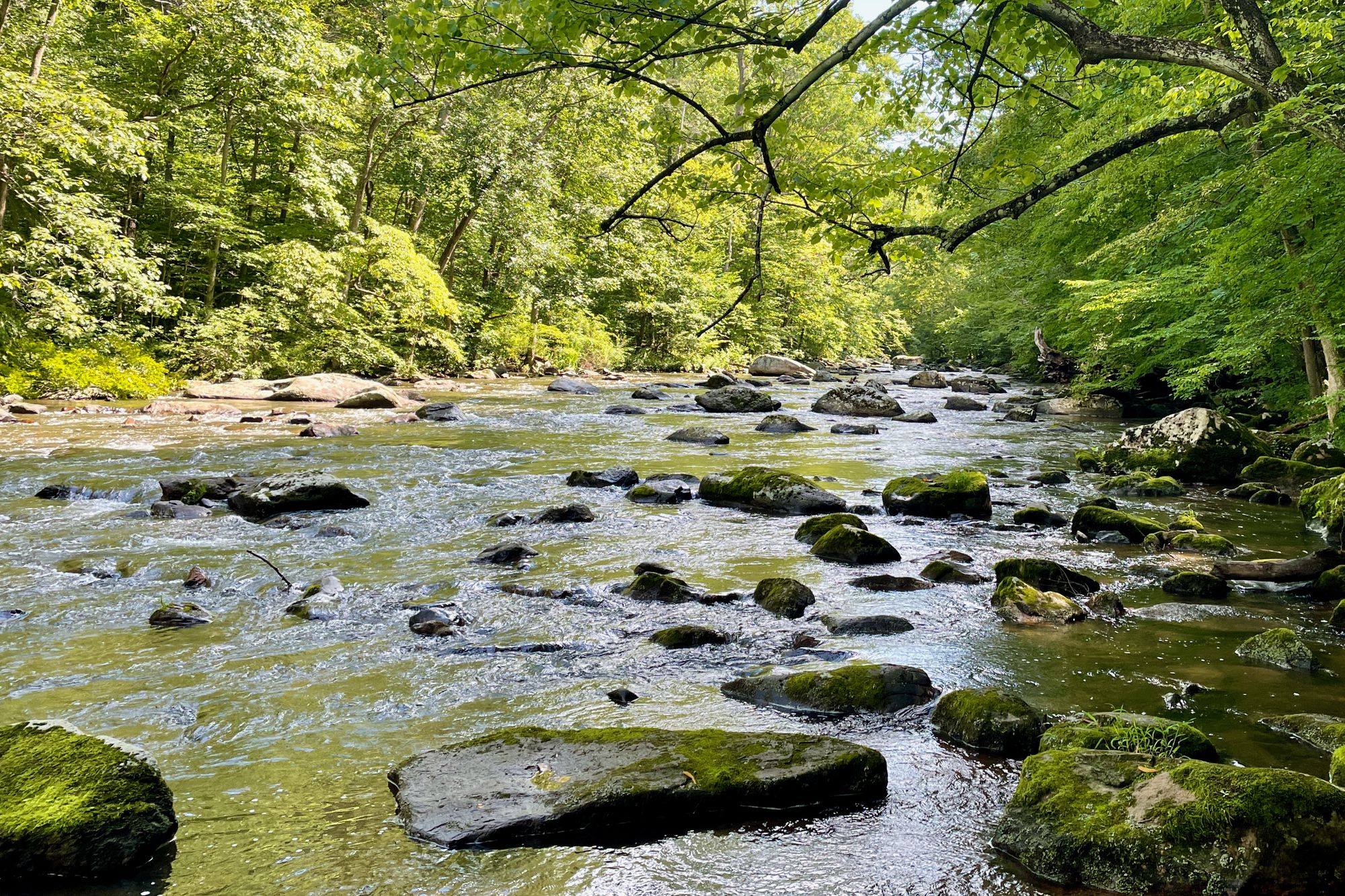
South Branch Raritan River
Explore New Jersey waters
Top paddling waters
Popular Cities
Loading popular cities...
Explore near Woodbridge Creek
Access points
Nearby waters
More in New Jersey

Smarter Paddling Starts in the App.
Paddleways gives you everything you need to plan smarter, paddle better, and own every trip from first launch to takeout.