Jamaica Bay
- Saltwater
- Bay
Jamaica Bay
- Saltwater
- Bay
- Sq. miles
- 19
- Boat Ramps
- 2
- Access Points
- 0
- Campsites
- 3
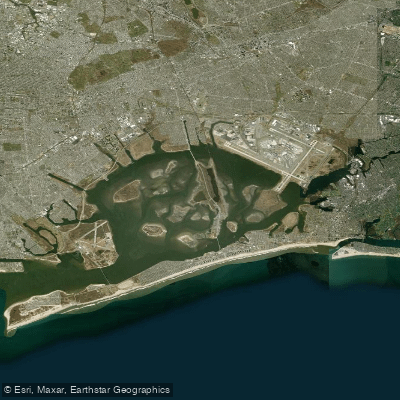
Jamaica Bay is a large, shallow saltwater bay located within the New York City boroughs of Brooklyn and Queens, forming part of the Gateway National Recreation Area. The bay is characterized by extensive salt marshes, numerous islands, and meandering tidal channels, offering a unique paddling environment within an urban setting. Paddlers have access to several designated launch sites around the bay, including Bayswater, Idlewild Park Preserve, the Salt Marsh Nature Center at Gerritsen Inlet, and Sebago Canoe Club on Paerdegat Basin. Additional launches are noted at North Channel Bridge, Mill Basin, Canarsie Pier, and Floyd Bennett Field's seaplane ramp. A permit is required to operate a kayak or canoe in New York City Parks waterways, though permits are not needed for launching from dawn to dusk at the Jamaica Bay Wildlife Refuge canoe launch; after-hours parking there does require a permit. The waters are subject to significant wind exposure, which can whip up a substantial chop, making conditions challenging, especially for beginners. Tidal currents are a primary factor for navigation. Entry into the salt marshes or onto any islands within Jamaica Bay is strictly prohibited, as is the use of personal watercraft like jetskis. The bay provides a habitat for a variety of birdlife, including egrets, herons, ibises, gulls, and shorebirds. Paddlers will experience views of both natural areas and urban infrastructure, including the nearby John F. Kennedy International Airport. Free kayaking programs and instruction are periodically offered by the National Park Service and local volunteer groups, providing opportunities for guided exploration. The overall paddling experience blends natural scenery with the constant backdrop of a major metropolitan area.
Water access, boat ramps & amenities
Learn how to get on Jamaica Bay. Uncover great paddling access points, boat ramps, and all the facilities you need for an unforgettable day on the water. Some locations shown may border or include private property. Always check property boundaries and applicable regulations before visiting. PaddleWays's Public & Private Land layer can help you plan your access with confidence.
Paddle smarter with real-time insights
Whether you're en route and conditions shift or you're looking for the best spot based on current flows, we enable you to make informed decisions on the fly.








Find Places to Paddle

Over 400,000 Places to Paddle
Every user gets free access to launch points, boat ramps, and public property parcels.


Tides, wind & water conditions (10 day forecast)
On open water, wind and tide matter as much as the weather. See the best times to paddle Jamaica Bay and check the marine forecast before you launch.
Loading tide predictions…
Paddling near Jamaica Bay

Hudson River

Raritan River
Lake Hopatcong
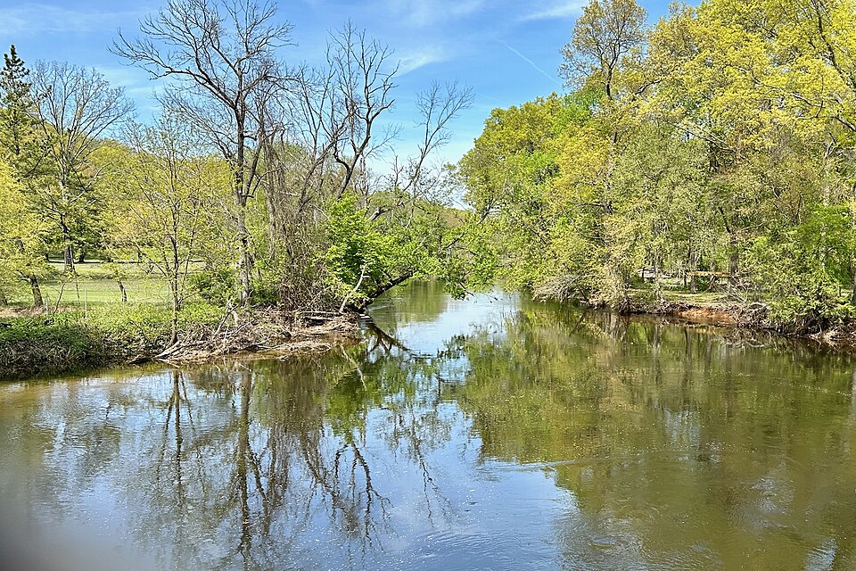
Rockaway River
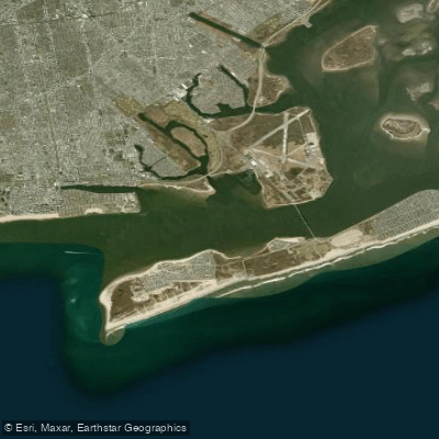
Rockaway Inlet
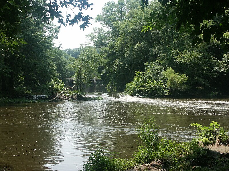
Millstone River

Croton River
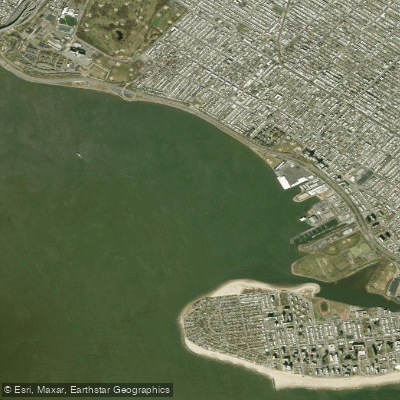
Gravesend Bay
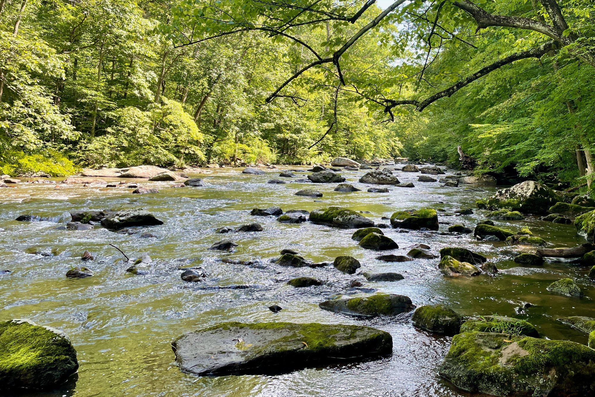
South Branch Raritan River
Explore New York waters
Top paddling waters
Popular Cities
Loading popular cities...
Explore near Jamaica Bay
Access points
Nearby waters
More in New York

Smarter Paddling Starts in the App.
Paddleways gives you everything you need to plan smarter, paddle better, and own every trip from first launch to takeout.