Beaver River
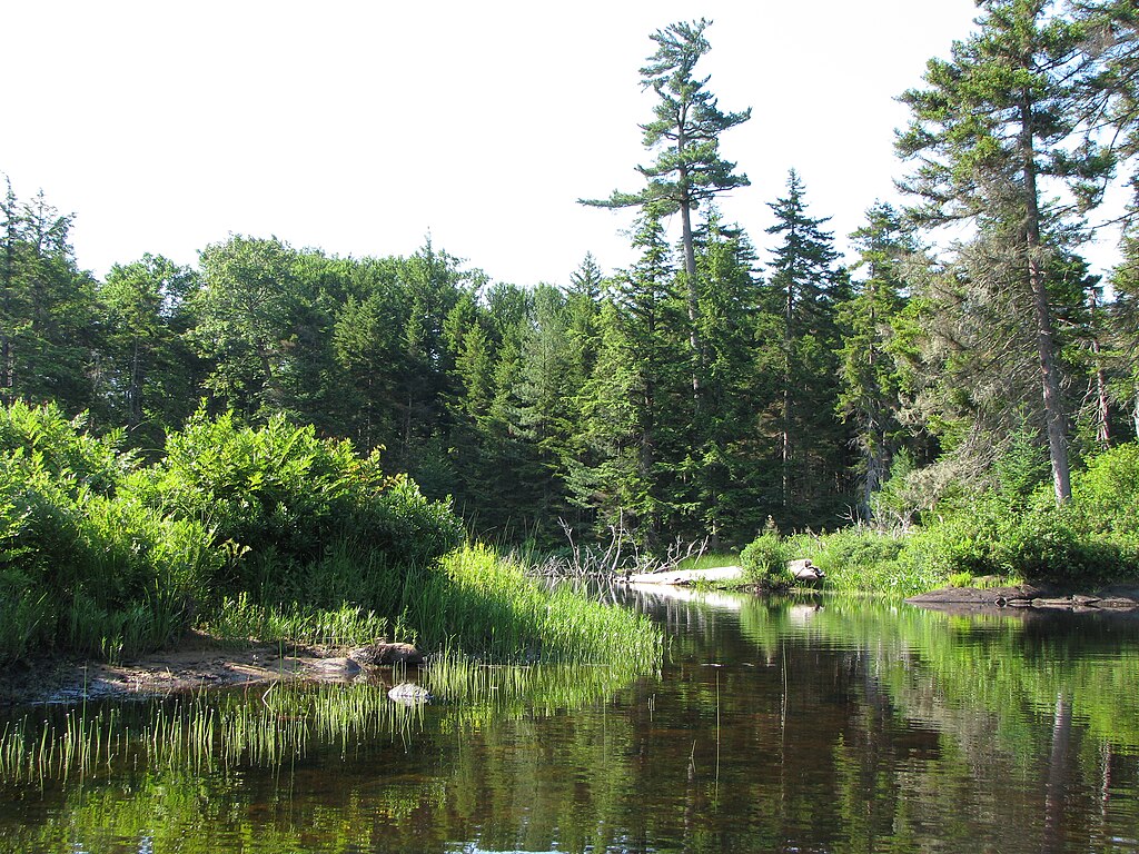
Beaver River
- Boat Ramps
- 1
- Access Points
- 9
- Campsites
- 0
The Beaver River originates in the western Adirondacks near Lake Lila and flows generally westward for approximately 45 miles before joining the Black River near Naumburg. This scenic waterway drains a watershed of around 300 square miles, with its upper reaches passing through remote wilderness before encountering a series of reservoirs and dams in its lower sections.
For paddlers, the Beaver River offers a diverse range of experiences, from serene flatwater to intense whitewater. The upper stretch from Lake Lila to Stillwater Reservoir provides an 8-mile wilderness paddle suitable for canoes and kayaks, though access issues should be researched beforehand. Below Stillwater, the river transforms dramatically, with several sections of world-class whitewater drawing expert paddlers from across the Northeast.
The most renowned whitewater runs include the Moshier, Eagle, and Taylorville sections. The 4-mile Moshier section, often called the crown jewel of the river, features Class IV-V rapids and spectacular waterfalls, culminating in the iconic Moshier Falls. The intense 1-mile Eagle section drops at an incredible 475 feet per mile, offering a gauntlet of Class V rapids for only the most skilled kayakers. The Taylorville section provides a more moderate Class II-III experience popular for instruction and skill-building.
Water levels on the Beaver are highly dependent on releases from the series of hydroelectric dams. Scheduled releases, particularly in September, create optimal paddling conditions on the whitewater sections. The upper flatwater stretches are generally navigable from spring through fall, with higher water in April and May from snowmelt.
The river corridor hosts a rich ecosystem of northern hardwood forests, providing habitat for diverse wildlife including black bears, otters, and bald eagles. For multi-day trips, paddlers can link sections of the Beaver with the adjoining Stillwater Reservoir and connecting waterways in the Five Ponds Wilderness Area.
Access points vary from remote wilderness put-ins to more developed sites near the towns of Croghan and Beaver Falls. Paddlers should be aware of private land issues, particularly in the upper sections, and adhere to regulations within the Adirondack Park.
The Beaver River played a significant role in the region's logging history, with remnants of this era still visible along its banks. Today, it stands as a premier destination for paddling enthusiasts, offering everything from peaceful Adirondack journeys to adrenaline-pumping whitewater adventures.
Water access, boat ramps & amenities
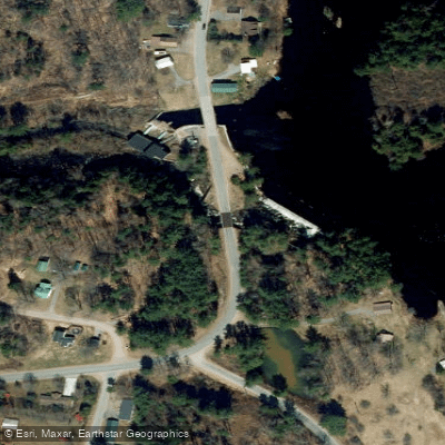
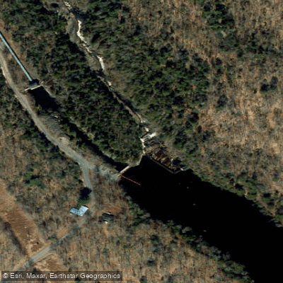
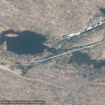
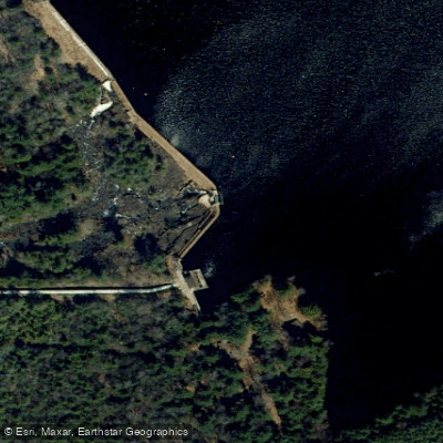
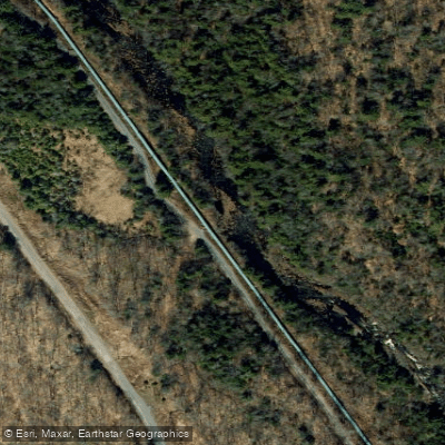
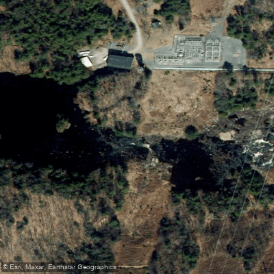
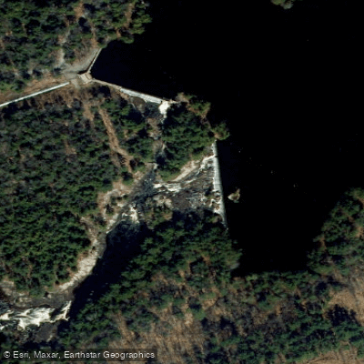
Learn how to get on Beaver River. Uncover great paddling access points, boat ramps, and all the facilities you need for an unforgettable day on the water. Some locations shown may border or include private property. Always check property boundaries and applicable regulations before visiting. PaddleWays's Public & Private Land layer can help you plan your access with confidence.
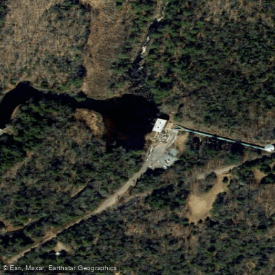
Paddle smarter with real-time insights
Whether you're en route and conditions shift or you're looking for the best spot based on current flows, we enable you to make informed decisions on the fly.








Find Places to Paddle

Over 400,000 Places to Paddle
Every user gets free access to launch points, boat ramps, and public property parcels.


Water and weather conditions (10 day forecast)
See the best times to paddle Beaver River and check the forecast before you go.
BEAVER RIVER AT CROGHAN NY
Paddling near Beaver River
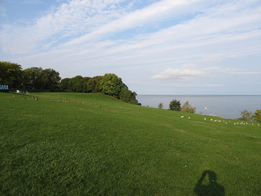
Lake Ontario
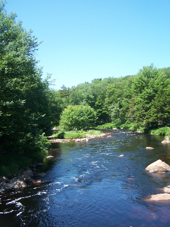
Oswegatchie River
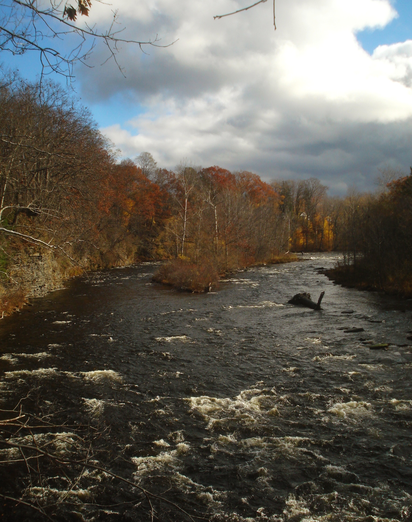
Salmon River
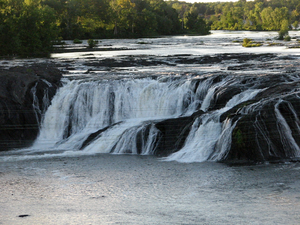
Mohawk River
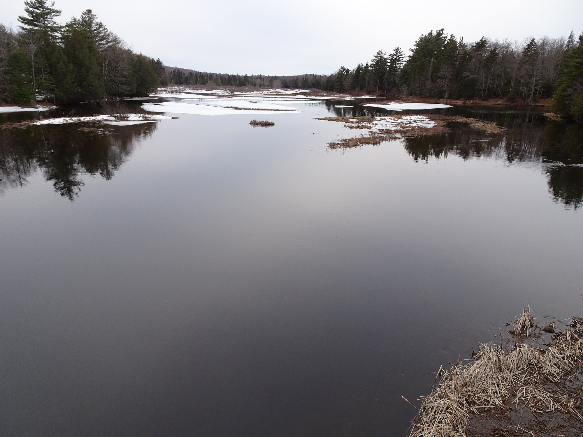
Moose River
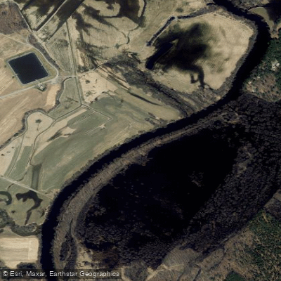
Black River

Saint Lawrence River
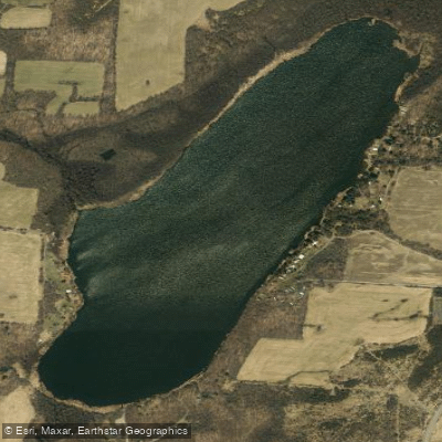
Crystal Lake
Indian River
Explore New York waters
Top paddling waters
Popular Cities
Loading popular cities...
Explore near Beaver River
Access points
Nearby waters
More in New York

Smarter Paddling Starts in the App.
Paddleways gives you everything you need to plan smarter, paddle better, and own every trip from first launch to takeout.