Oswegatchie River
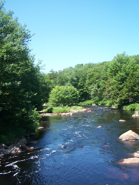
Oswegatchie River
- Boat Ramps
- 10
- Access Points
- 13
- Campsites
- 35
The Oswegatchie River is a 137-mile long waterway in northern New York that flows from the Adirondack Mountains northward to the Saint Lawrence River. It originates at Partlow Lake in Hamilton County and is formed by three main branches - the East, West, and Middle branches - which converge near Harrisville. The river then continues north through St. Lawrence County before emptying into the St. Lawrence at Ogdensburg.
The Oswegatchie offers diverse paddling opportunities, from remote wilderness trips to whitewater adventures. The East Branch provides a classic Adirondack wilderness experience, with an 11-mile flatwater stretch from Inlet to High Falls popular for multi-day canoe camping. The Middle and West branches feature more challenging whitewater sections, including the Class IV-V Rainbow Falls and Sluice Falls sections. Overall difficulty ranges from flatwater suitable for beginners to expert-level Class V rapids. Paddlers should carefully match their skills to appropriate sections.
Spring typically offers the highest water levels, while summer and fall provide more moderate conditions ideal for flatwater trips. Late summer can see low water levels on some stretches.
The river corridor hosts diverse Adirondack flora and fauna, including white pine, hemlock, and northern hardwood forests. Paddlers may encounter beaver, otter, deer, and various bird species. Black bears are also present in the region.
Key landmarks include High Falls on the East Branch, the historic Cranberry Lake Dam, and the scenic Tooley Pond Road section. The Five Ponds Wilderness area offers opportunities for side hikes and exploration. Major access points include Inlet and Wanakena for the East Branch, Long Pond Road for the West Branch, and various bridges along the Middle Branch. The towns of Cranberry Lake, Star Lake, and Gouverneur provide nearby services.
The Oswegatchie played a significant role in the region's logging history, with remnants of old dams and log drives still visible. Today, it's a vital recreational resource and part of the traditional territory of the Oswegatchie people.
Paddlers should be aware of potential hazards like strainers, especially on the more remote sections. Some areas require portaging around dams or waterfalls. Multi-day trips are popular, particularly the challenging Lows Lake to Oswegatchie traverse, which involves a significant portage between watersheds.
The Oswegatchie River offers a quintessential Adirondack paddling experience, combining serene wilderness with exhilarating whitewater in a historically rich setting.
Water access, boat ramps & amenities
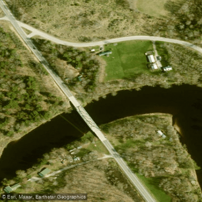
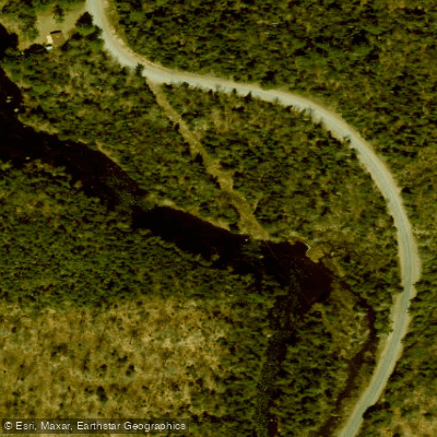
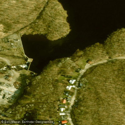
Learn how to get on Oswegatchie River. Uncover great paddling access points, boat ramps, and all the facilities you need for an unforgettable day on the water. Some locations shown may border or include private property. Always check property boundaries and applicable regulations before visiting. PaddleWays's Public & Private Land layer can help you plan your access with confidence.
Paddle smarter with real-time insights
Whether you're en route and conditions shift or you're looking for the best spot based on current flows, we enable you to make informed decisions on the fly.








Find Places to Paddle

Over 400,000 Places to Paddle
Every user gets free access to launch points, boat ramps, and public property parcels.


Water and weather conditions (10 day forecast)
See the best times to paddle Oswegatchie River and check the forecast before you go.
OSWEGATCHIE RIVER NEAR HEUVELTON NY
All Flow Stations
Paddling near Oswegatchie River
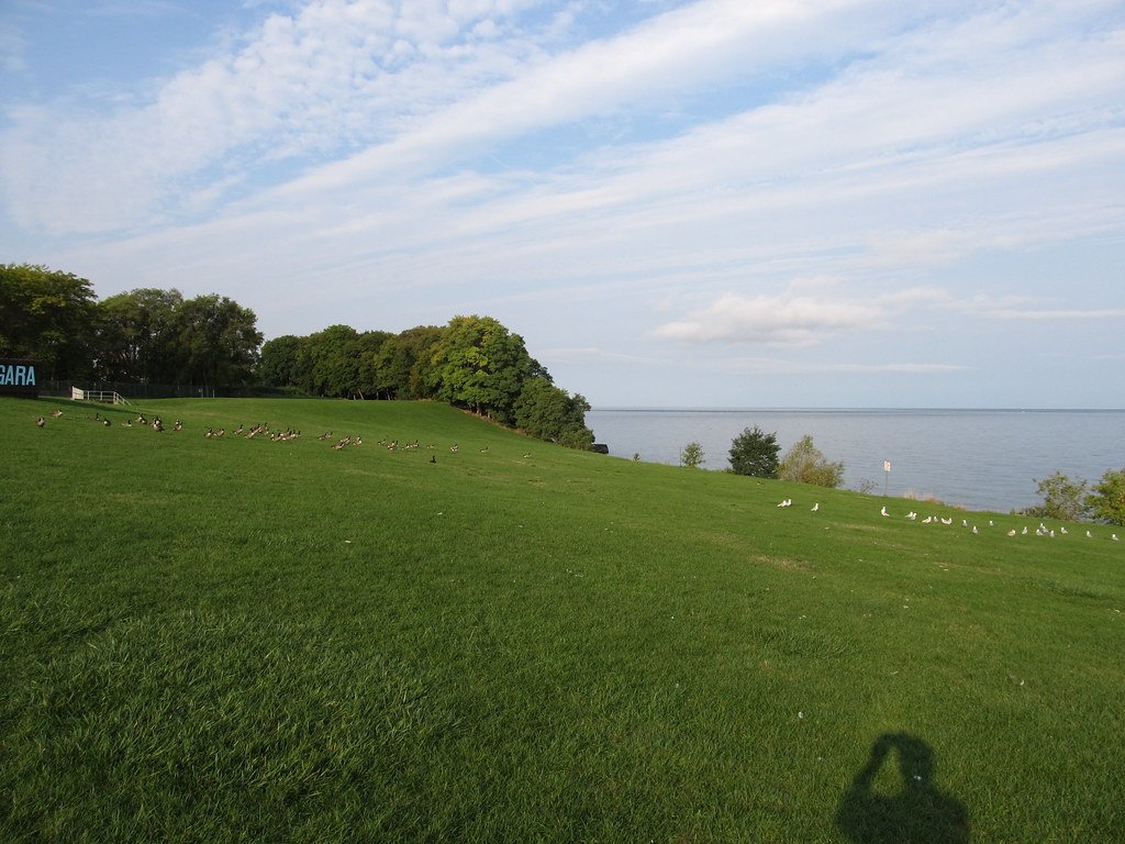
Lake Ontario
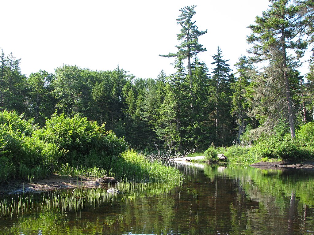
Beaver River
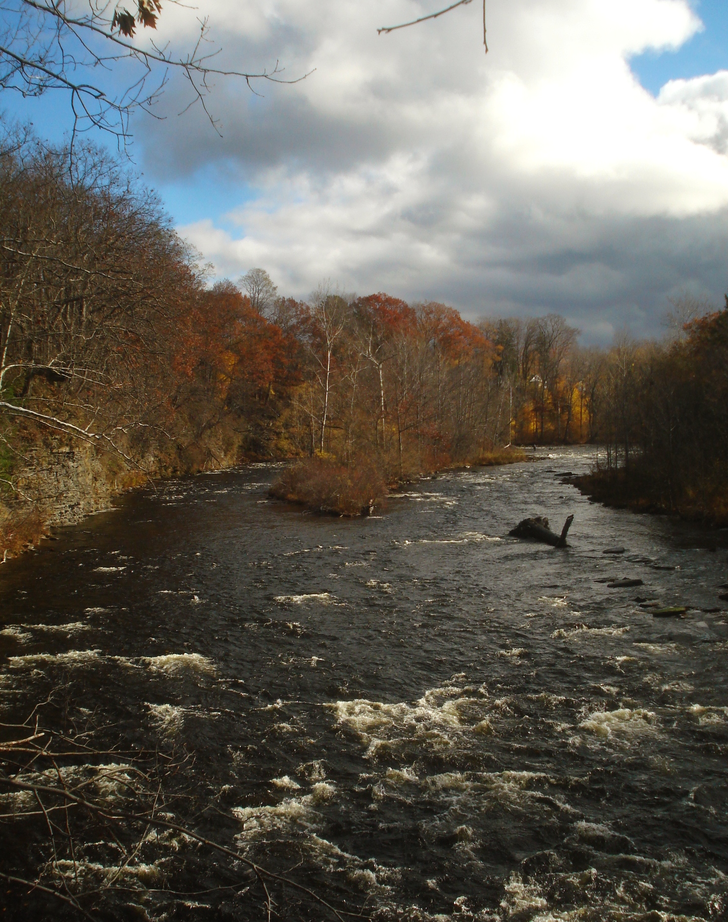
Salmon River
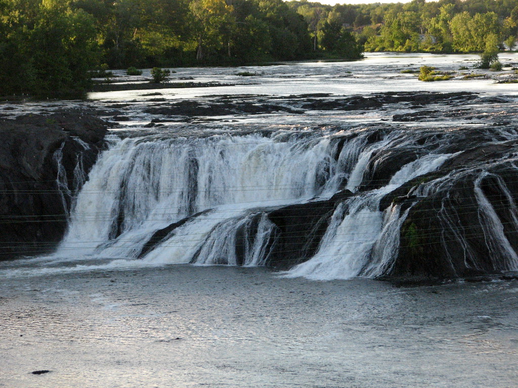
Mohawk River
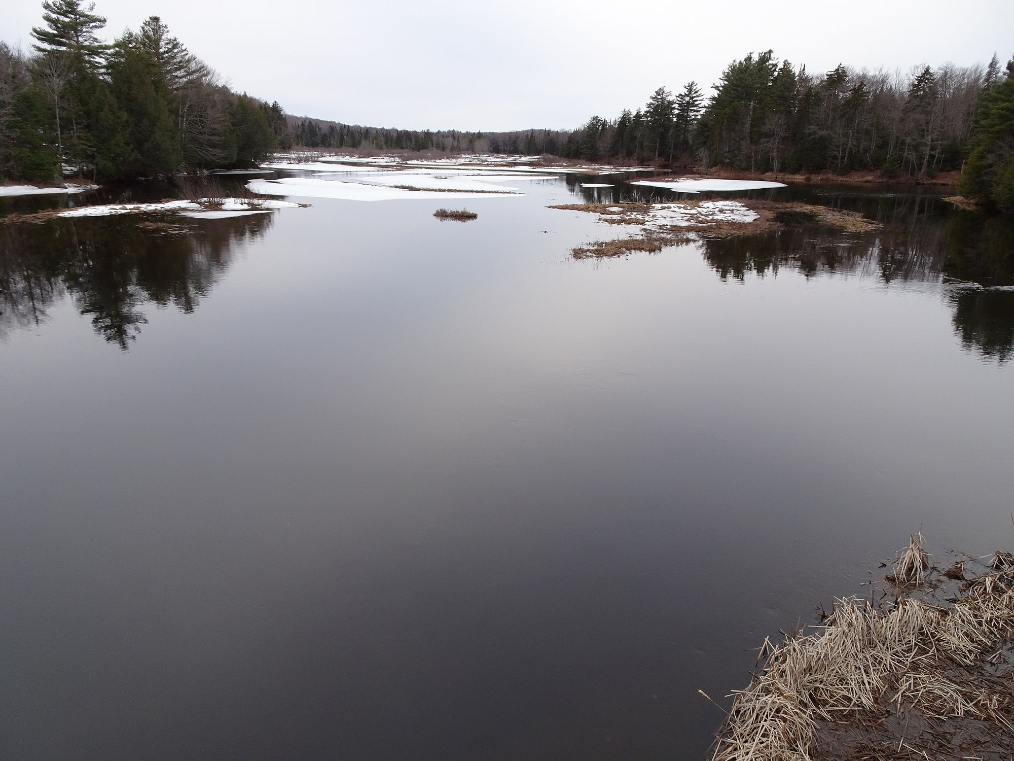
Moose River
Black River

Saint Lawrence River
Crystal Lake
Indian River
Explore New York waters
Top paddling waters
Popular Cities
Loading popular cities...
Explore near Oswegatchie River
Access points
- Oswegatchie River Boat Ramp
- Oswegatchie River Boat Ramp
- Oswegatchie River Boat Ramp
- Oswegatchie River Boat Ramp
- Cranberry Lake Boat Ramp
- Oswegatchie River Boat Ramp
- Oswegatchie River Boat Ramp
- Oswegatchie River Boat Ramp
- Oswegatchie River Boat Ramp
- Cranberry Lake Boat Ramp
- Elmdale Access
- Tooley Pond Road Access
- All 120 spots
Nearby waters
More in New York

Smarter Paddling Starts in the App.
Paddleways gives you everything you need to plan smarter, paddle better, and own every trip from first launch to takeout.