Indian River
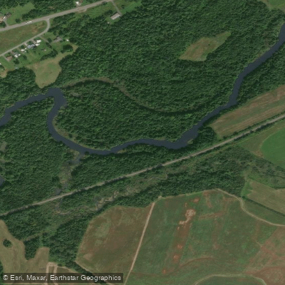
Indian River
- Boat Ramps
- 3
- Access Points
- 6
- Campsites
- 3
The Indian River originates in Indian River Village in Lewis County and flows northward through Jefferson County before entering St. Lawrence County, eventually reaching Black Lake. This approximately 75-mile waterway serves as a tributary to the Oswegatchie River and represents one of the more accessible paddling destinations in the western Adirondacks, with a predominantly flatwater character that contrasts sharply with the region's whitewater rivers.
The river's course traverses a landscape of mixed hardwood-softwood forests, extensive wetland complexes, and agricultural lands. From its headwaters, the Indian River passes through a series of natural features including beaver meadows, emergent marshes, and shrub swamps, with water levels controlled by the river's natural flow and periodic releases from upstream. The channel varies considerably in width from 25 to 200 feet, with depths generally remaining shallow except in occasional deeper pools.
Paddling opportunities span multiple sections with varying character. The upper reaches near Natural Bridge require portaging around falls and feature narrow, overgrown sections unsuitable for most paddlers. From Natural Bridge downstream to Antwerp, the river becomes more navigable with a mix of flatwater and occasional rapids, though access through Fort Drum Military Reservation requires special permits. The section from Theresa to Black Lake offers the most consistent flatwater paddling, with the river meandering through marshland and providing excellent wildlife viewing opportunities.
The Indian River supports diverse fish populations including northern pike, largemouth bass, walleye, and various panfish species, with special regulations including an 18-inch minimum for walleye in certain sections. Anglers frequently target the river from both shore and watercraft, particularly near access points like the Nelson Road boat launch. The marshy environment sustains abundant waterfowl, with great blue herons, beavers, turtles, and occasional black bears observed along the corridor.
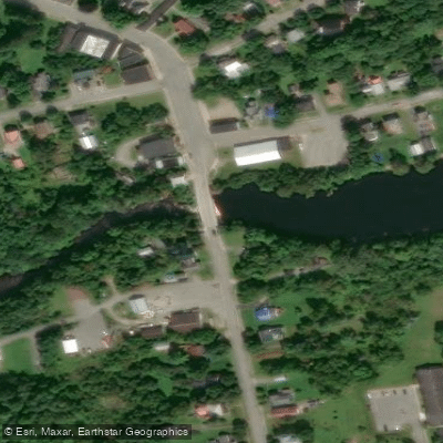
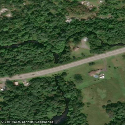
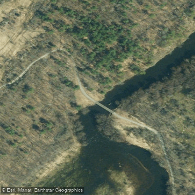
Key access points include the DEC boat launch at Onjebonge State Forest in Diana, launches near Theresa on Red Lake Road, and the Carpenter Road access area. The river passes through the communities of Natural Bridge, Antwerp, Philadelphia, and Theresa, with most services available in these small villages.
Historically significant to Native Americans, the Indian River corridor later supported logging operations in the 19th century, with evidence of old mill sites remaining near Philadelphia and Rossie. The area around Payne Lake—named for sawmill operator Rossell Payne—reflects this logging heritage.
Paddlers should note that motorboat restrictions vary by section, with some areas limited to 10 horsepower. The Indian River Wildlife Management Area encompasses significant portions of the floodplain, providing public access but also requiring awareness of hunting seasons. Water levels can rise rapidly during spring runoff or after heavy rains, and the extensive wetlands support healthy mosquito populations during warmer months.
Water access, boat ramps & amenities
Learn how to get on Indian River. Uncover great paddling access points, boat ramps, and all the facilities you need for an unforgettable day on the water. Some locations shown may border or include private property. Always check property boundaries and applicable regulations before visiting. PaddleWays's Public & Private Land layer can help you plan your access with confidence.
Paddle smarter with real-time insights
Whether you're en route and conditions shift or you're looking for the best spot based on current flows, we enable you to make informed decisions on the fly.








Find Places to Paddle

Over 400,000 Places to Paddle
Every user gets free access to launch points, boat ramps, and public property parcels.


Water and weather conditions (10 day forecast)
See the best times to paddle Indian River and check the forecast before you go.
No forecast data available.
Paddling near Indian River
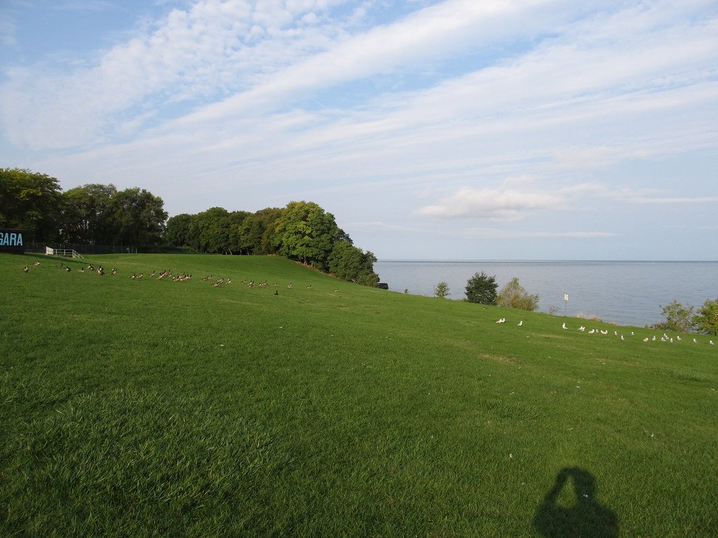
Lake Ontario
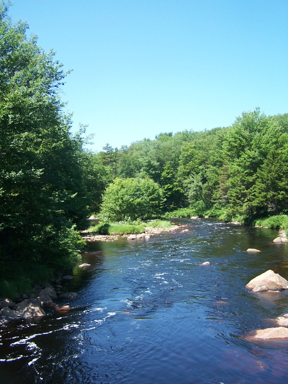
Oswegatchie River
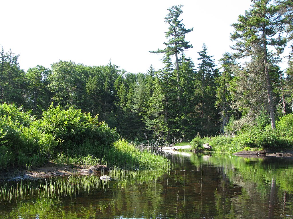
Beaver River
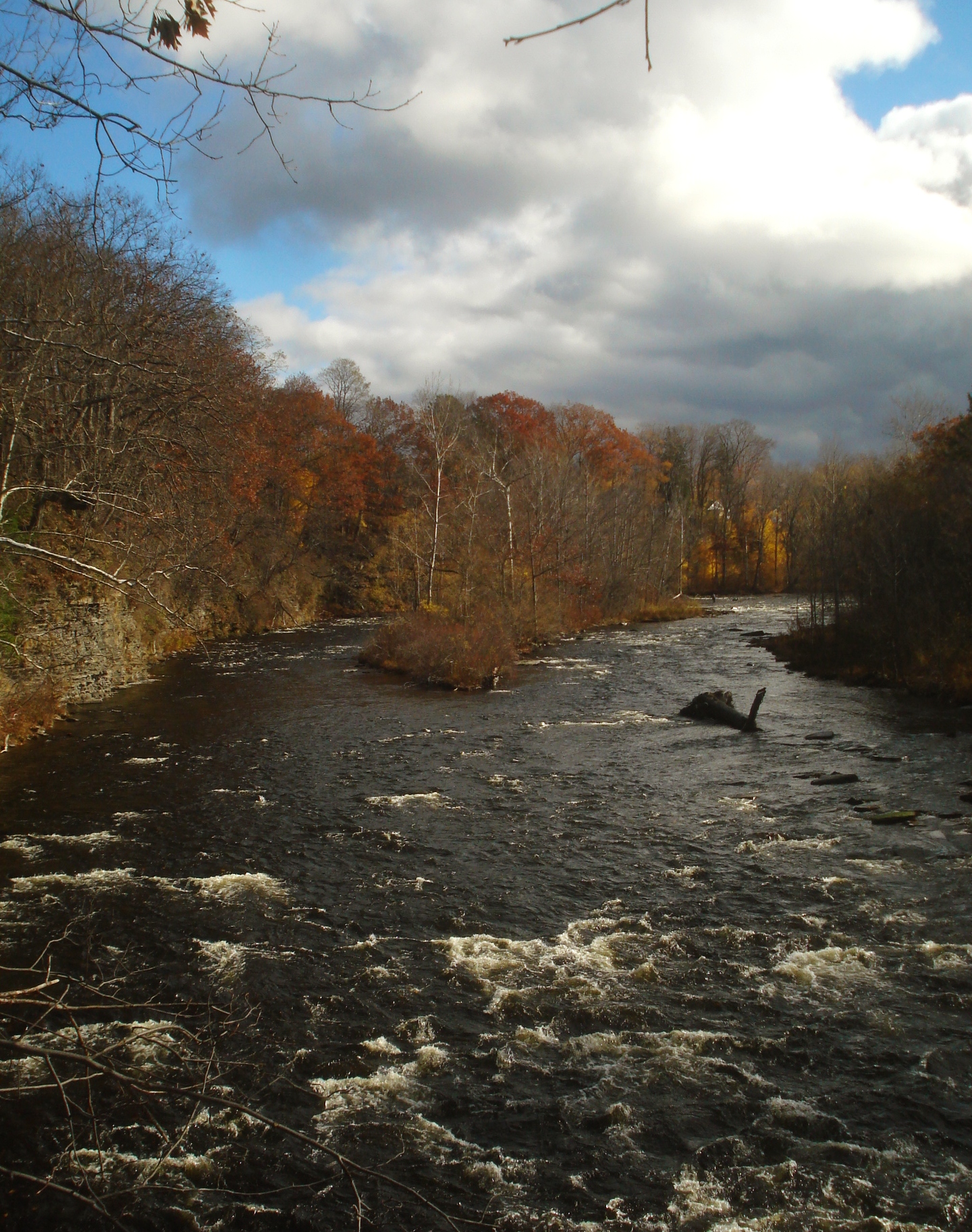
Salmon River
Mohawk River
Moose River
Black River
Saint Lawrence River
Crystal Lake
Explore New York waters
Top paddling waters
Popular Cities
Loading popular cities...
Explore near Indian River
Access points
Nearby waters
More in New York

Smarter Paddling Starts in the App.
Paddleways gives you everything you need to plan smarter, paddle better, and own every trip from first launch to takeout.