Curated by PaddleWays
RouteClass II
- Distance
- 4.4 mi
- Paddle time
- ~1.5 hrs
- Put-in → take-out
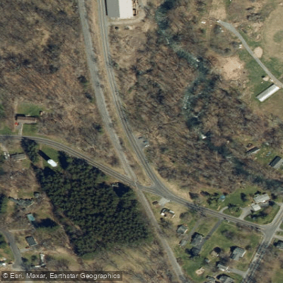
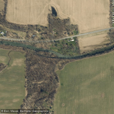
- Route 4 Access → Canandaigua Outlet Boat Ramp
Strainers along the creek
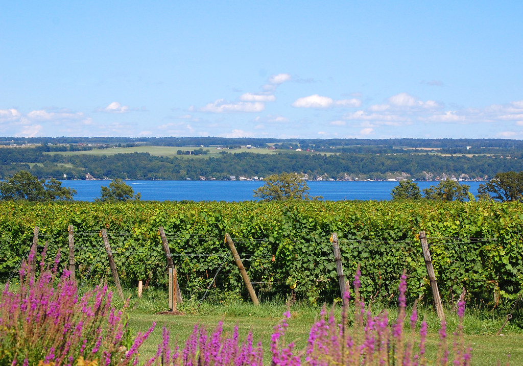
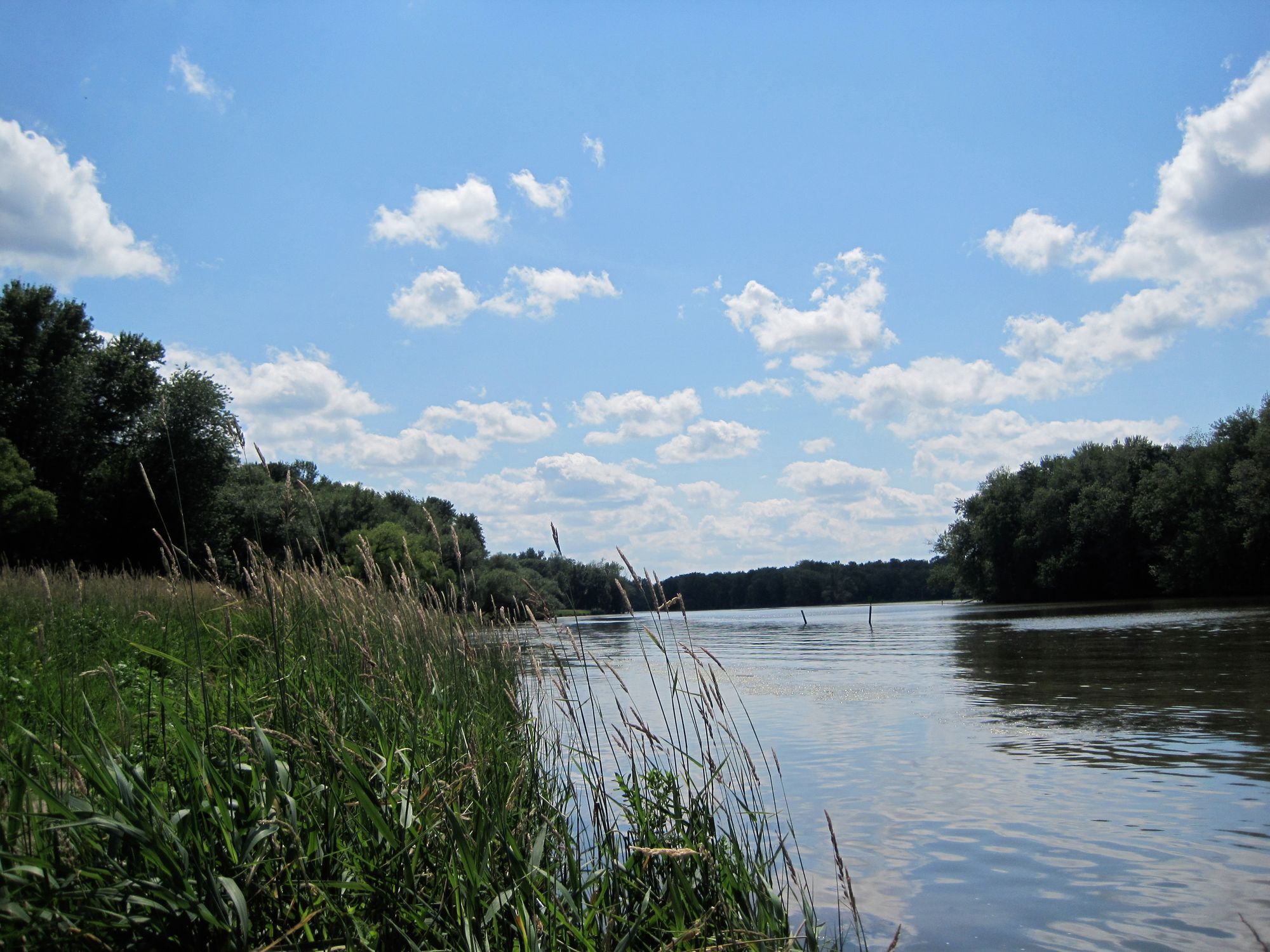
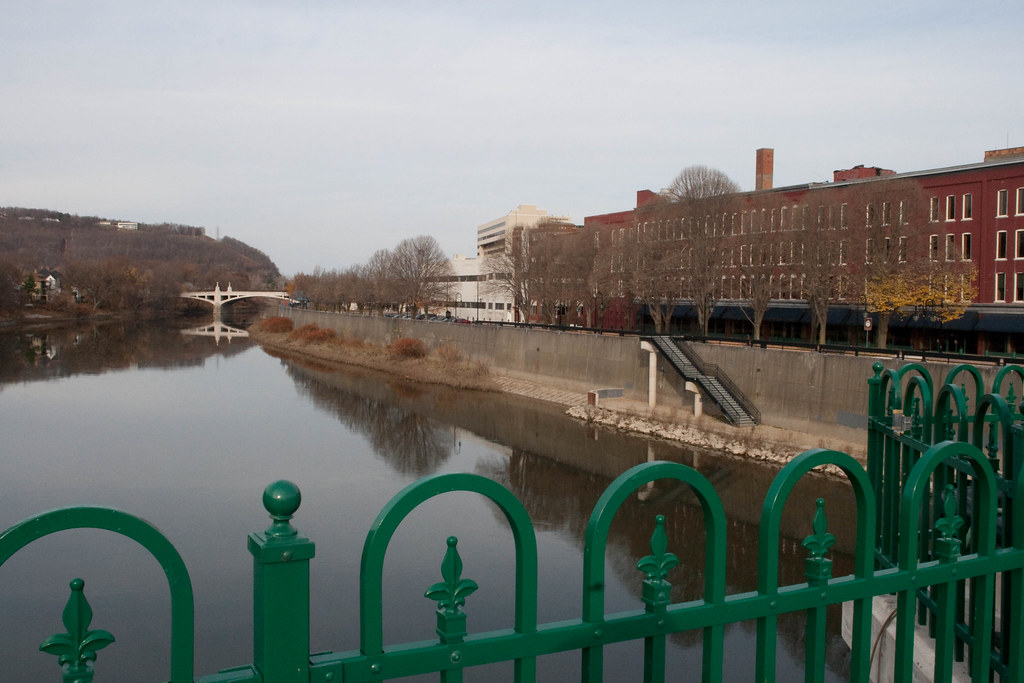
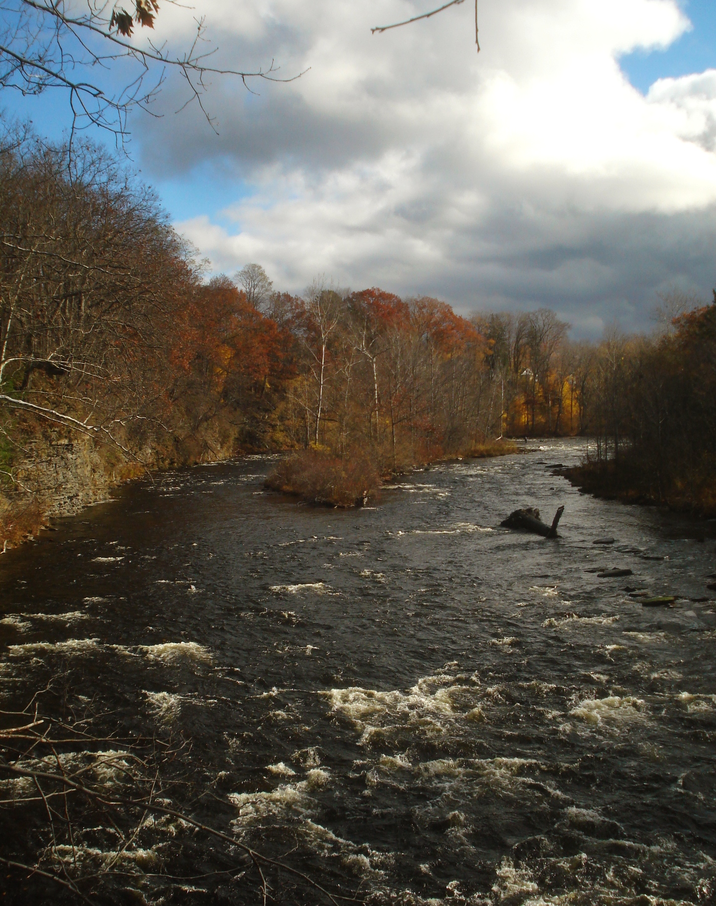
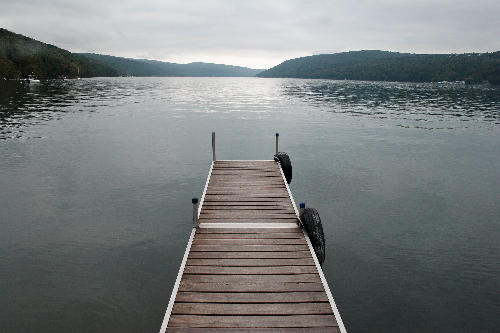
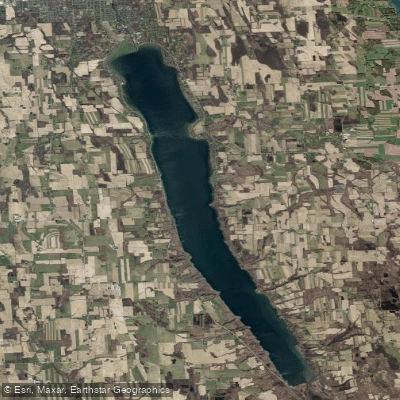
The Canandaigua Outlet is a 38-mile river in the Finger Lakes region of New York that flows north from Canandaigua Lake to its confluence with the Erie Canal in Lyons. This waterway drains the Canandaigua Lake watershed, passing through Ontario and Wayne counties as it meanders through the scenic glacial landscape. Paddlers can experience a range of conditions on the Outlet, from calm flatwater to exciting Class II-III rapids.
The most popular whitewater section runs 5 miles from Littleville to Manchester, also known as The Shortsville Run. This stretch features technical rapids, swift currents during high water, and hosts the annual Wild Water Derby race. Downstream, the 13-mile section from Manchester to Phelps offers a mix of rapids and flat water. For a longer adventure, experienced paddlers can tackle the full 30-mile journey from Manchester to Lyons over 1-2 days. The river's difficulty ranges from Class I to III, with some sections requiring solid boat control and the ability to read water. Spring and early summer typically provide the best water levels for paddling, though the Outlet can be run year-round with sufficient flow.
Wildlife is abundant along the Canandaigua Outlet. Paddlers may spot herons, kingfishers, and various waterfowl. The surrounding riparian zones host diverse plant communities adapted to the region's climate.
Key landmarks include the historic hamlets of Littleville and Shortsville, Budd Park, and the Erie Canal junction. Primary access points are located in Littleville, Manchester, Shortsville, Phelps, and Lyons. Paddlers should be aware of potential hazards like strainers and a partially submerged concrete slab in some sections.
The Canandaigua Outlet played a significant role in the region's early development, powering mills and fostering settlement. Today, it serves as an important recreational resource, attracting paddlers, anglers, and nature enthusiasts.
When planning a trip, paddlers should check current water levels and be prepared for varied conditions. Some sections may require portaging around obstacles or low-head dams. Multi-day trips are possible for those looking to experience the full length of this dynamic New York waterway.
Curated routes
Hand-picked by the PaddleWays team, with put-ins, take-outs, paddle times and the hazards along the way.
RouteClass II
RouteClass II–III
RouteClass II–III
Hazards
No paddler has reported a hazard here yet, so these are the dams, falls and big rapids on our map. Hazards change with flows and storms, so check them before you launch.
From the community
Nobody has shared a trip on Canandaigua Outlet yet. Paddle it, then tell the next paddler how it went.
See exactly where the public can get on and off the river. Launch points and boat ramps are paired with PaddleWays' public land data so you know where you can legally land.
Public shoreline
5%of the river's shoreline is public
Most of the riverbank is private. Launch, land and camp only at public access points.
Flows, weather and a route-by-route verdict, so you know which stretch of the Canandaigua Outlet is worth paddling today.
Live flows, marked hazards and fresh trip reports from paddlers who were just on the water, all in one place.





Every user gets free access to launch points, boat ramps, and public property parcels.
Loading popular cities...
PaddleWays gives you everything you need to plan smarter, paddle better, and own every trip from first launch to takeout.