Cayuta Lake
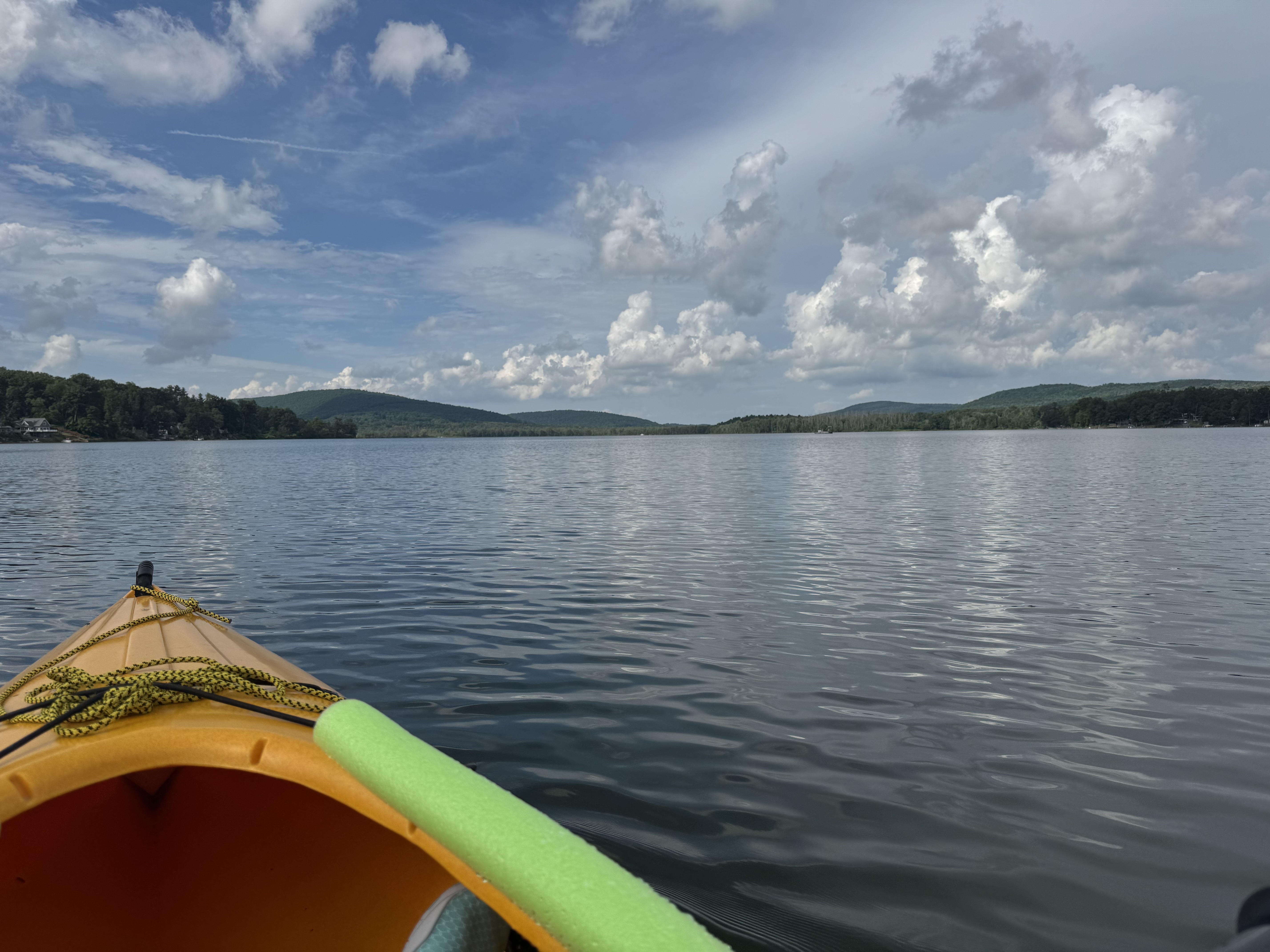
Cayuta Lake
- Boat Ramps
- 1
- Access Points
- 1
- Campsites
- 5
Cayuta Lake, also known locally as "Little Lake," is a 380-acre waterbody in Schuyler County, New York. The lake spans 2 miles in length with 4 miles of shoreline and reaches depths of 26 feet. Unlike the nearby Finger Lakes, Cayuta drains south through Cayuta Creek into the Susquehanna River system.
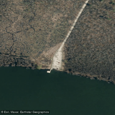
Access is available via a state boat launch on the north end at Loch Heid Road off Cayutaville Road. The launch area features a concrete ramp, seasonal dock, dedicated canoe/kayak launch with an accessible EZ Launch system, and parking for 15 vehicles with trailers.
The northern end offers the most natural paddling experience, with undeveloped shoreline and the Allen Preserve protecting 95 acres of wetlands around the inlet. This area provides excellent wildlife viewing opportunities, including wood ducks, great blue herons, beavers, and bald eagles. The inlet can typically be paddled about a quarter to half mile before encountering a beaver dam. The southern portion of the lake is more developed with seasonal homes and cottages.
Heavy aquatic vegetation grows along most of the shoreline, particularly in the shallow southern end. The lake's watershed supports diverse plant and animal species, including a rare freshwater sponge found only here and in Siberia.
According to Seneca legend, the lake was formed from the tears of a mother whose daughter, Princess Kayutah, was kidnapped by a rival tribe. The lake's older spelling "Kayutah" is still occasionally used.
For paddlers interested in longer adventures, Cayuta Creek flows from the lake's south end, though it becomes too rocky and shallow for paddling. The lake's relatively small size and protected northern bay make it suitable for novice paddlers, while wildlife enthusiasts will particularly enjoy exploring the undeveloped inlet area.
Water access, boat ramps & amenities
Learn how to get on Cayuta Lake. Uncover great paddling access points, boat ramps, and all the facilities you need for an unforgettable day on the water. Some locations shown may border or include private property. Always check property boundaries and applicable regulations before visiting. PaddleWays's Public & Private Land layer can help you plan your access with confidence.
Paddle smarter with real-time insights
Whether you're en route and conditions shift or you're looking for the best spot based on current flows, we enable you to make informed decisions on the fly.








Find Places to Paddle

Over 400,000 Places to Paddle
Every user gets free access to launch points, boat ramps, and public property parcels.


Water and weather conditions (10 day forecast)
See the best times to paddle Cayuta Lake and check the forecast before you go.
No forecast data available.
Paddling near Cayuta Lake
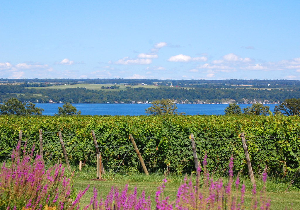
Cayuga Lake
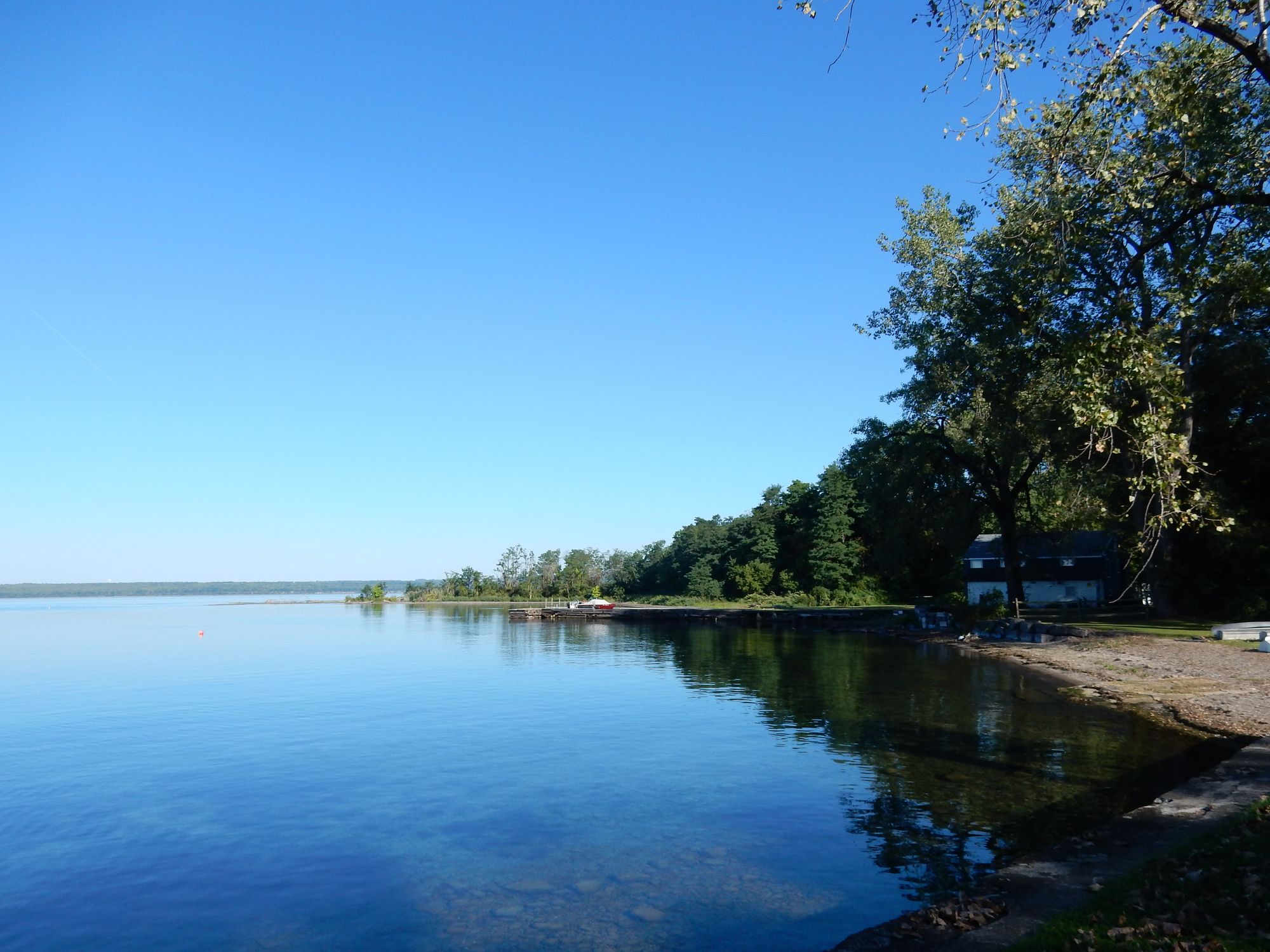
Seneca Lake
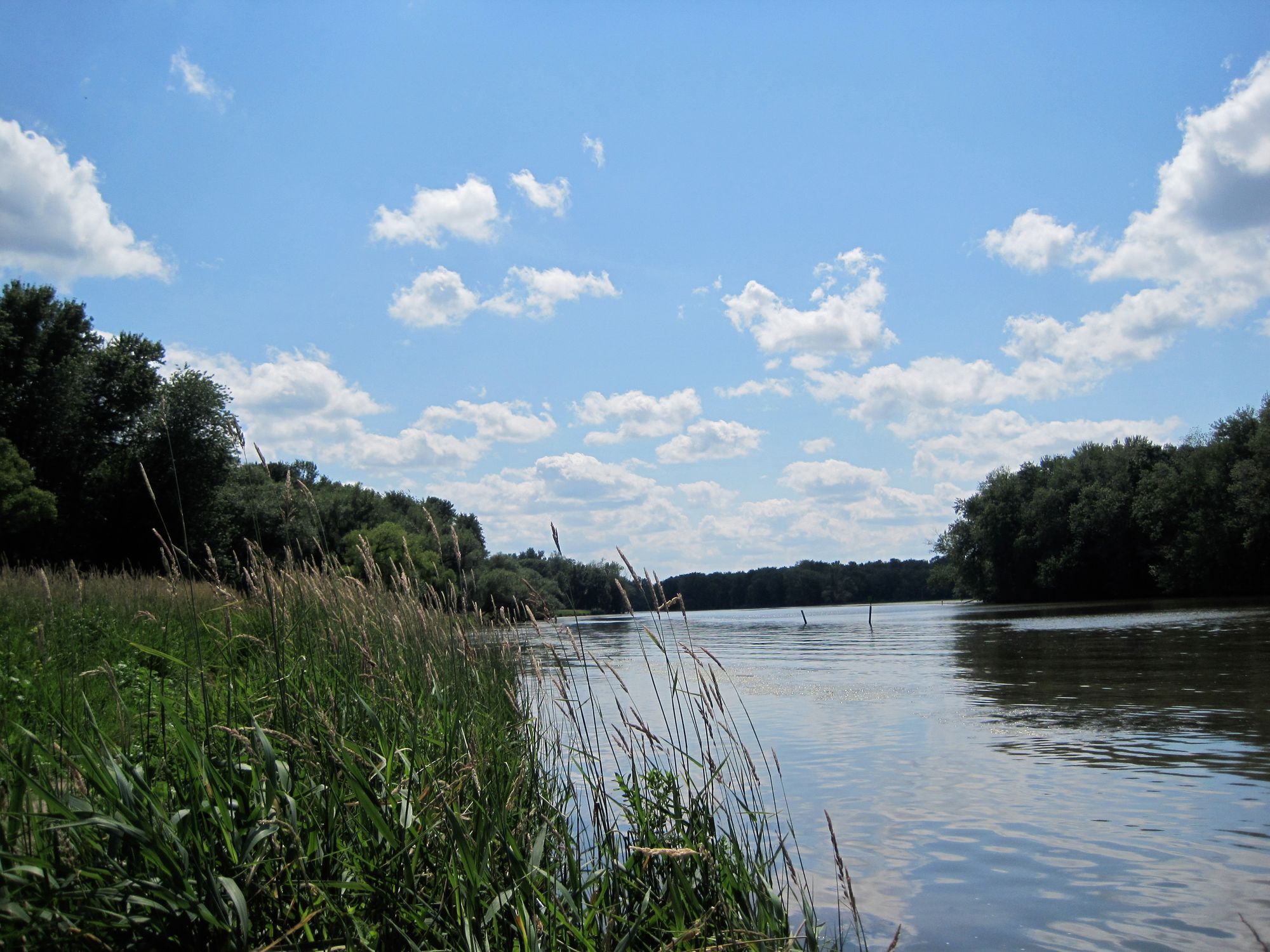
Seneca River
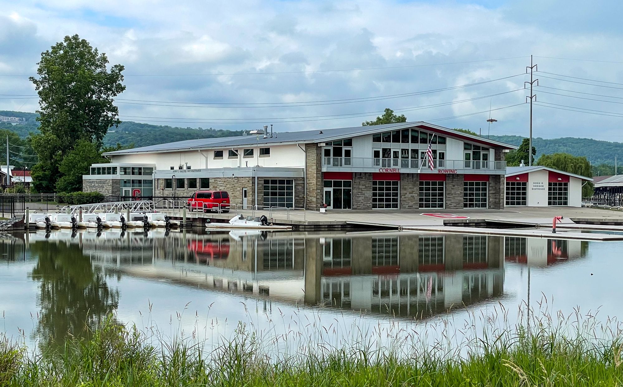
Cayuga Inlet

Susquehanna River
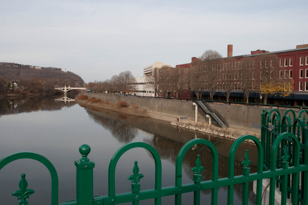
Chenango River
Dryden Lake
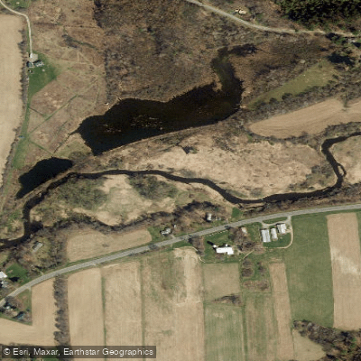
Fall Creek
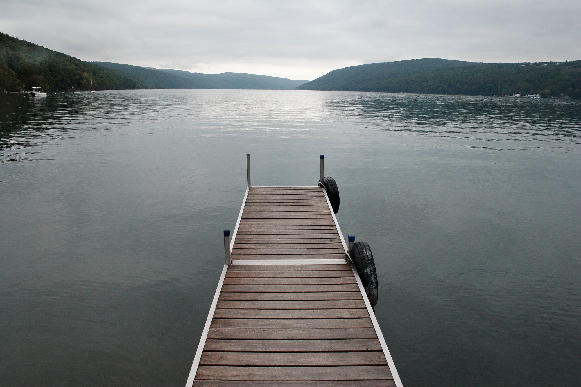
Skaneateles Lake
Explore New York waters
Top paddling waters
Popular Cities
Loading popular cities...
Explore near Cayuta Lake
Access points
Nearby waters
More in New York

Smarter Paddling Starts in the App.
Paddleways gives you everything you need to plan smarter, paddle better, and own every trip from first launch to takeout.