Curated by PaddleWays
RouteFlatwater
- Distance
- 14.3 mi
- Paddle time
- ~5 hrs
- Put-in → take-out
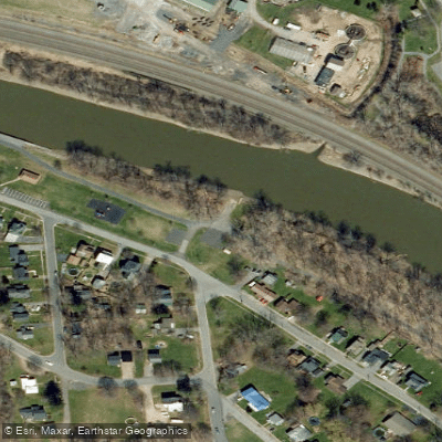
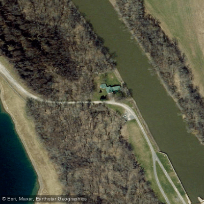
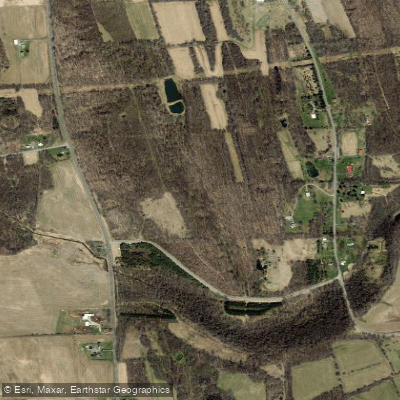
- Erie Canal Boat Ramp → Montezuma National Wildlife Refuge Boat Ramp
The Clyde River originates in Wayne County at the hamlet of Lyons, where the Canandaigua Outlet, Ganargua Creek, and Erie Canal converge near Lock #27. From this confluence point at approximately 385 feet elevation, the river flows eastward for roughly 27 miles through the Finger Lakes region before emptying into the Seneca River at the town of Tyre within Montezuma National Wildlife Refuge. The Clyde functions as a major tributary of the Seneca River watershed, which ultimately feeds the Oswego River and Lake Ontario.
Much of the Clyde River's original channel has been incorporated into the Erie Canal system, creating a unique waterway where natural river and engineered canal run concurrent or parallel to each other. The river passes through the Wayne County communities of Lyons and Galen, then continues through the village of Clyde in Seneca County before reaching its terminus at Montezuma.
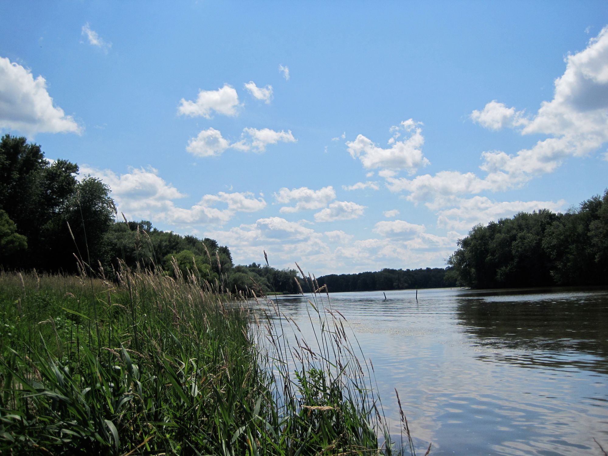
Paddling the Clyde River offers exclusively flatwater experiences suitable for all skill levels. The primary paddling corridor extends from Lyons to the Seneca River confluence, with several distinct access points allowing trips ranging from short 1.9-mile paddles to multi-day journeys exceeding 27 miles. Water flows at a leisurely pace of approximately one mile per hour, creating calm conditions ideal for beginners and families. The river can be paddled as standalone sections or incorporated into an 11-mile loop combining the Cayuga-Seneca Canal, Clyde River, and Erie Canal segments.
Access points include Abbey Park and Lock #27 in Lyons, Lauraville Landing in Clyde village, Lock #26 near Clyde, and various locations near the DEC Fishing Access Site off Route 105A near Seneca Falls. Most launches accommodate hand-carried craft, with some offering concrete ramps and dock facilities.
The Clyde River's path along the northern boundary of Montezuma National Wildlife Refuge provides exceptional wildlife viewing opportunities. Paddlers regularly encounter great blue herons, ospreys, hawks, Canadian geese, and various duck species. Spring and fall migrations bring transient bird populations through the refuge, making these seasons particularly rewarding for naturalists. Muskrats inhabit the waterway, and the river supports active fishing for multiple species.
Navigation requires awareness of several features. Lock systems at various points necessitate portages or passage through operational locks. Paddlers must decide whether to portage around dams or utilize the lock system. Between Lyons and Clyde, the waterway remains remarkably quiet, with minimal boat traffic reported along most stretches. The river maintains its rural character despite paralleling the historic Erie Canal, offering peaceful passages through agricultural lands and wetland environments that characterize central New York's landscape.
Curated routes
Hand-picked by the PaddleWays team, with put-ins, take-outs, paddle times and the hazards along the way.
RouteFlatwater
Hazards
No paddler has reported a hazard here yet, so these are the dams, falls and big rapids on our map. Hazards change with flows and storms, so check them before you launch.
From the community
Nobody has shared a trip on Clyde River yet. Paddle it, then tell the next paddler how it went.
See exactly where the public can get on and off the river. Launch points and boat ramps are paired with PaddleWays' public land data so you know where you can legally land.
Public shoreline
34%of the river's shoreline is public
Most of the riverbank is private. Launch, land and camp only at public access points.
Flows, weather and a route-by-route verdict, so you know which stretch of the Clyde River is worth paddling today.
Live flows, marked hazards and fresh trip reports from paddlers who were just on the water, all in one place.





Every user gets free access to launch points, boat ramps, and public property parcels.
Loading popular cities...
PaddleWays gives you everything you need to plan smarter, paddle better, and own every trip from first launch to takeout.