Curated by PaddleWays
RouteFlatwater
- Distance
- 11.4 mi
- Paddle time
- ~4 hrs
- Best for
- Kayak, canoe, SUP
- Put-in & take-out
- Erie Canal Boat Ramp
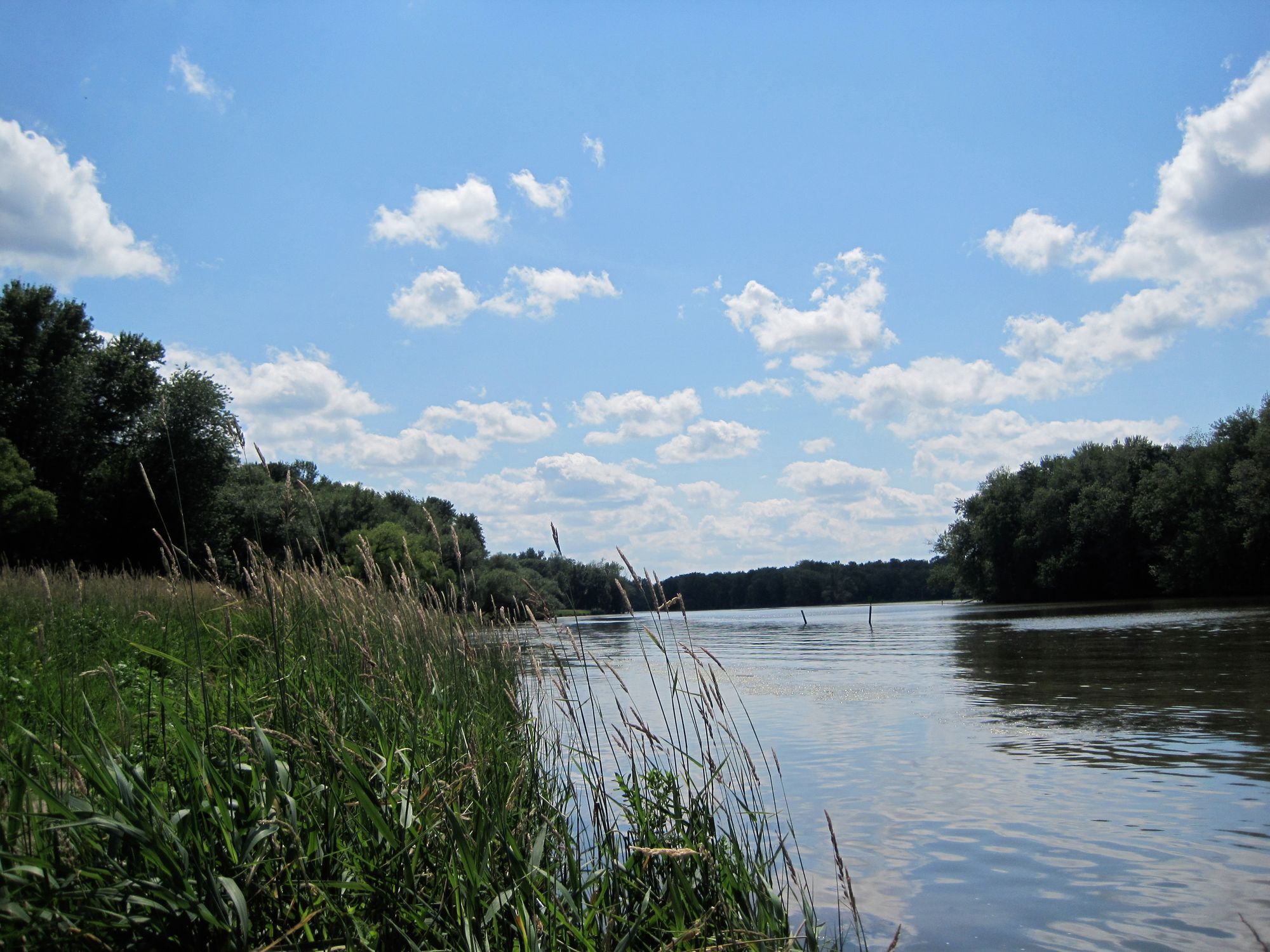
The Erie Canal is a historic 363-mile waterway that stretches across New York State, connecting the Hudson River at Albany to Lake Erie at Buffalo. Completed in 1825, this engineering marvel flows generally east to west, traversing diverse landscapes from the Mohawk Valley to the Finger Lakes region. The canal offers exceptional flatwater paddling opportunities suitable for all skill levels. Popular sections include the Bushnell's Basin Round Trip from Fairport (7.7 miles), the Lock C6 to Lock C5 stretch near Fort Miller (10.51 miles), and the Phoenix to Fulton route (10.57 miles). For whitewater enthusiasts, the unique Lock 32 Whitewater Course in Pittsford provides class II-III rapids in a controlled 600-foot channel.
Paddling difficulty is predominantly easy flatwater, making the Erie Canal ideal for beginners and families. However, some sections like the Waterford Flight of Locks require more experience due to lock navigation. The canal is typically paddleable from May through October, with summer offering the most pleasant conditions. Along its course, paddlers can observe a rich variety of wildlife, including herons, bald eagles, and beavers.
The canal passes through picturesque towns like Fairport, Pittsford, and Bushnell's Basin, each offering unique attractions and amenities for canal visitors. Key landmarks include the impressive Waterford Flight of Locks, which raises boats 169 feet from the Hudson River to the Mohawk River over just 1.5 miles. Historic aqueducts, lift bridges, and restored 19th-century canal structures dot the waterway, providing glimpses into the canal's storied past.
Numerous access points are available, with many towns along the canal offering boat launches and rental facilities. The Erie Canal Boat Company in Fairport is a notable outfitter, providing adaptive paddling equipment to ensure accessibility for all. Safety considerations include being aware of larger vessel traffic, understanding lock operations, and respecting private property along the banks. Paddlers should also be prepared for occasional wind and waves, especially in wider sections.
For those seeking multi-day adventures, the entire length of the canal can be paddled, with numerous towns offering camping facilities or accommodations. The Village to Village itinerary from Brockport to Fairport is a popular option, combining paddling with cycling and local exploration.
The Erie Canal's historical significance cannot be overstated, as it played a crucial role in America's westward expansion and industrial growth. Today, it serves as a vibrant recreational waterway, offering paddlers a unique blend of natural beauty, engineering marvels, and living history.
Curated routes
Hand-picked by the PaddleWays team, with put-ins, take-outs, paddle times and the hazards along the way.
RouteFlatwater
Hazards
No paddler has reported a hazard here yet, so these are the dams, falls and big rapids on our map. Hazards change with flows and storms, so check them before you launch.
From the community
Nobody has shared a trip on Erie Canal yet. Paddle it, then tell the next paddler how it went.
See exactly where the public can get on and off the river. Launch points and boat ramps are paired with PaddleWays' public land data so you know where you can legally land.
Public shoreline
79%of the river's shoreline is public
Boat Ramp
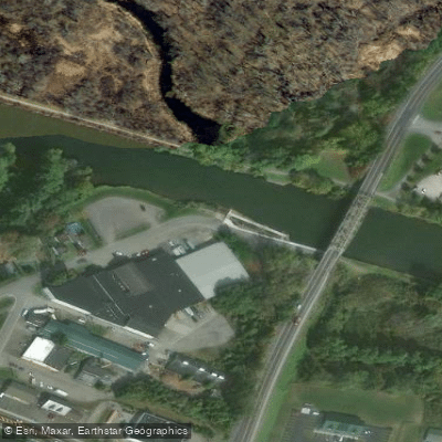
Boat Ramp
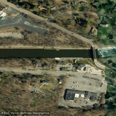
Boat Ramp
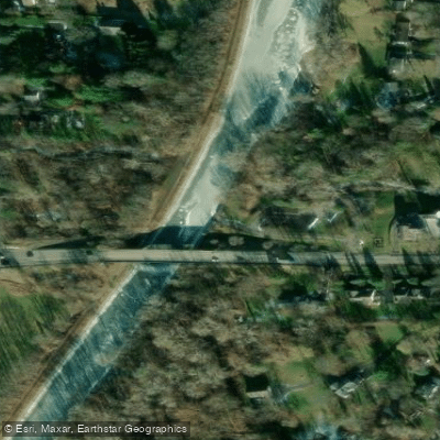
Boat Ramp
Showing 4 of 31 boat ramps.
Flows, weather and a route-by-route verdict, so you know which stretch of the Erie Canal is worth paddling today.
All Flow Stations
Live flows, marked hazards and fresh trip reports from paddlers who were just on the water, all in one place.





Every user gets free access to launch points, boat ramps, and public property parcels.
Loading popular cities...
PaddleWays gives you everything you need to plan smarter, paddle better, and own every trip from first launch to takeout.





