Glenwood Lake
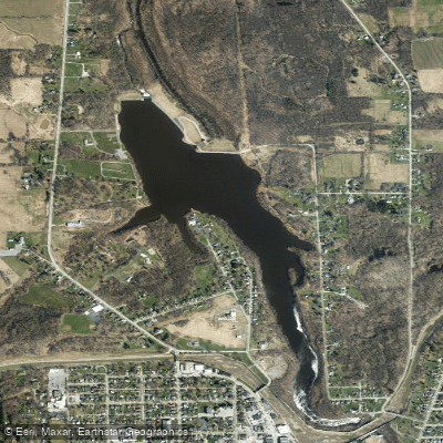
Glenwood Lake
- Boat Ramps
- 1
- Access Points
- 1
- Campsites
- 0
Glenwood Lake is a 92.6-acre hydroelectric reservoir located in Orleans County, New York, in the Town of Medina. Created around 1925 by damming Oak Orchard Creek, this reservoir offers paddlers access to a unique mix of moving and still water environments along with scenic waterfalls.
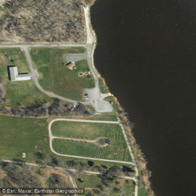
**Access and Launch** The primary access point is a concrete boat launch maintained by Orleans County on NYS Route 63 (North Gravel Road), with parking for approximately 10 cars and trailers. The launch is located near Boxwood Cemetery on the northern end of the reservoir, adjacent to the dam. Paddlers should note that a kayak launch is also available at the N. Gravel Road location.
**Water Character and Navigation** At 7,000 feet long with a maximum depth of 44 feet and mean depth of 18 feet, Glenwood Lake sits at 453 feet elevation. The reservoir is characterized by steep-sided, rocky shoreline with fluctuating water levels driven by hydroelectric dam operations. These water level changes limit aquatic vegetation to shallow areas near the dam and creek inlets, creating relatively open paddling conditions. A notable feature for paddlers is Medina Falls, located on Oak Orchard Creek where it flows into the southern end of the reservoir. Paddling south from the main launch site provides views of this waterfall where the creek tumbles down after passing under the Erie Canal.
**Considerations** Water level fluctuations can significantly affect paddling conditions and shoreline access. The deeper portions of the reservoir are devoid of oxygen, though this primarily impacts fish rather than surface paddling. The NYS Barge Canal serves as a major tributary and influences the reservoir's hydrology. Statewide fishing regulations apply, and the lake supports populations of northern pike, walleye, bass species, and panfish, though shoreline spawning may be limited by dam operations.
Water access, boat ramps & amenities
Learn how to get on Glenwood Lake. Uncover great paddling access points, boat ramps, and all the facilities you need for an unforgettable day on the water. Some locations shown may border or include private property. Always check property boundaries and applicable regulations before visiting. PaddleWays's Public & Private Land layer can help you plan your access with confidence.
Paddle smarter with real-time insights
Whether you're en route and conditions shift or you're looking for the best spot based on current flows, we enable you to make informed decisions on the fly.








Find Places to Paddle

Over 400,000 Places to Paddle
Every user gets free access to launch points, boat ramps, and public property parcels.


Water and weather conditions (10 day forecast)
See the best times to paddle Glenwood Lake and check the forecast before you go.
No forecast data available.
Paddling near Glenwood Lake
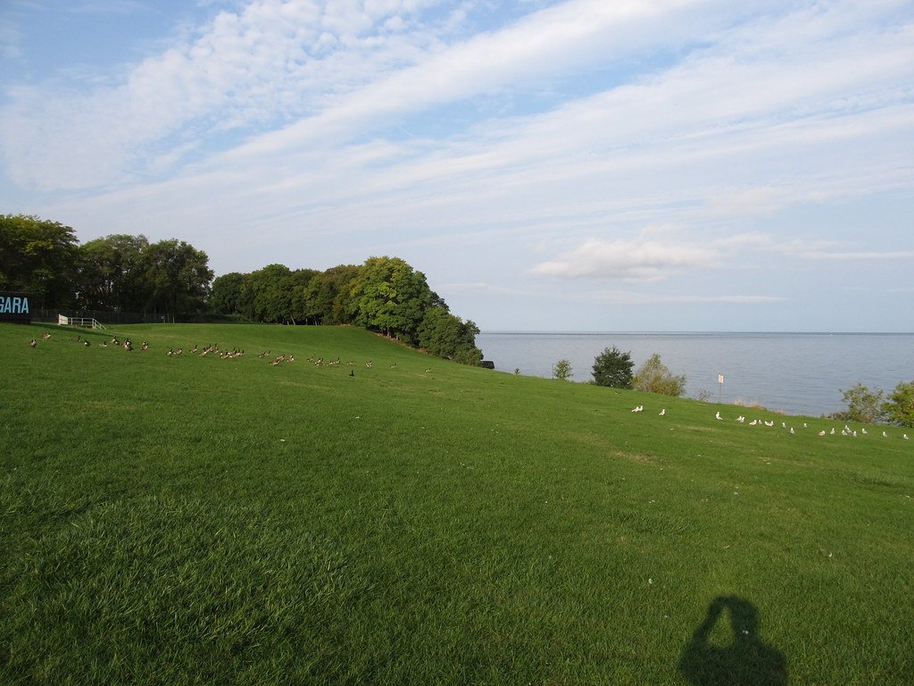
Lake Ontario

Lake Erie
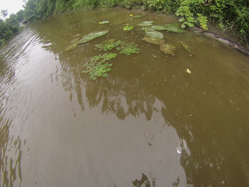
Tonawanda Creek
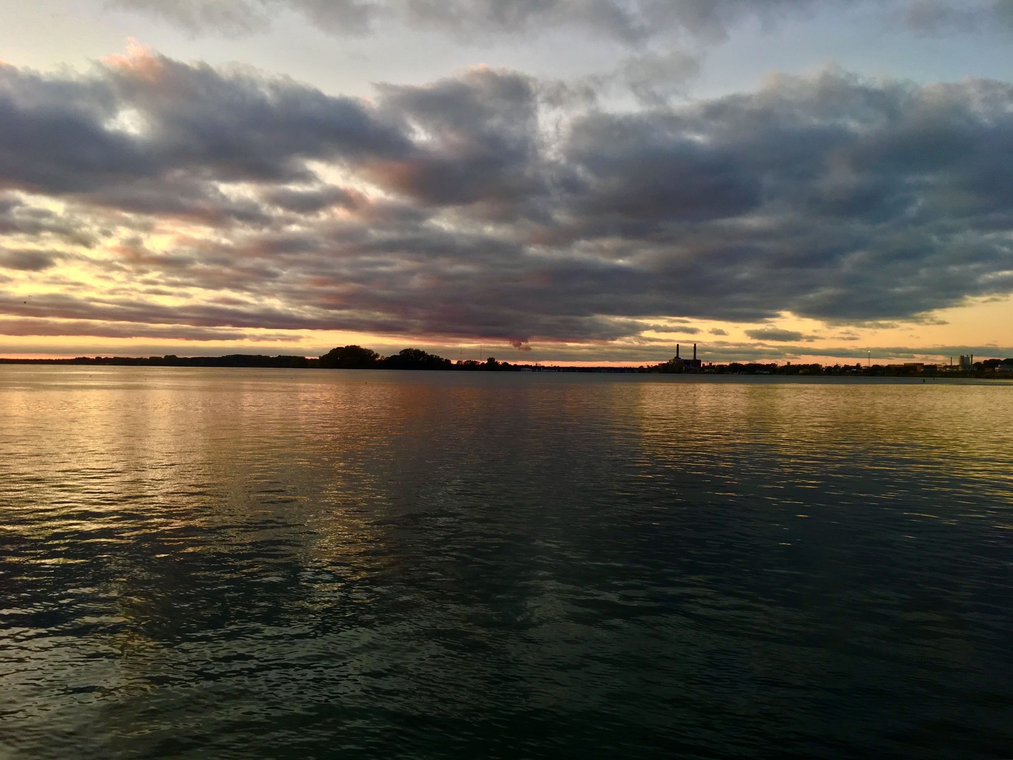
Niagara River
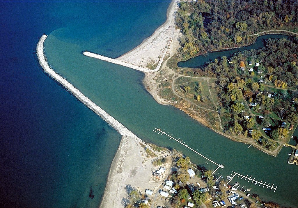
Cattaraugus Creek
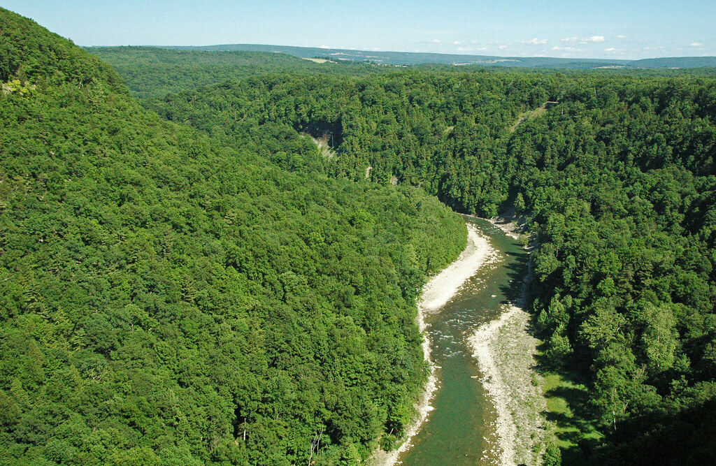
Genesee River
Saint Lawrence River
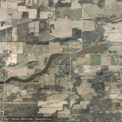
Waterport Pond
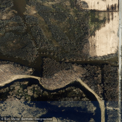
Oak Orchard Creek
Explore New York waters
Top paddling waters
Popular Cities
Loading popular cities...
Explore near Glenwood Lake
Access points
Nearby waters
More in New York

Smarter Paddling Starts in the App.
Paddleways gives you everything you need to plan smarter, paddle better, and own every trip from first launch to takeout.