Curated by PaddleWays
RouteFlatwater
- Distance
- 9.1 mi
- Paddle time
- ~3 hrs
- Best for
- Beginners
- Put-in → take-out
- Otselic River Boat Ramp → Upper Lisle Boat Ramp
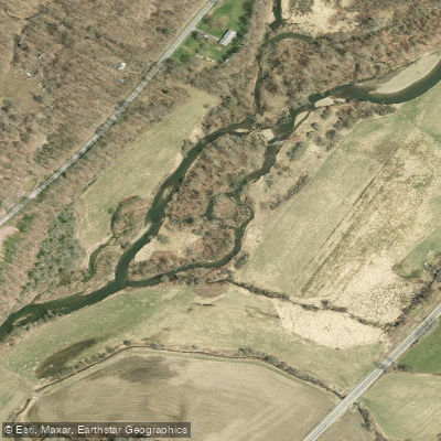
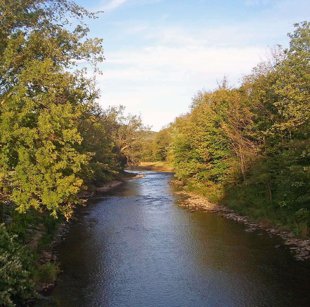
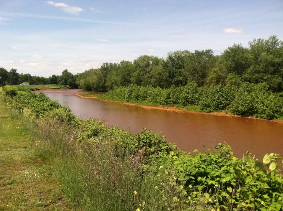
The Otselic River is a scenic 54-mile waterway in central New York, originating in Madison County and flowing south through Chenango, Cortland, and Broome counties before being dammed just north of Whitney Point village. This river is part of the larger Susquehanna River watershed. Paddling opportunities on the Otselic range from calm flatwater sections to moderately challenging stretches, making it suitable for a variety of skill levels.
The river offers several notable paddling sections, including the 15-mile stretch from Willet to Upper Lisle and the 18-mile route from Cincinnatus to Whitney Point. These sections provide a mix of peaceful rural scenery and opportunities for wildlife viewing. The difficulty of the Otselic varies along its course, with some sections being flatwater and others presenting moderate challenges. Generally, the river is accessible to intermediate paddlers, though beginners can enjoy the calmer stretches.
Spring typically offers the best water levels for paddling, but the river can be enjoyed throughout the summer and early fall as well. The Otselic River corridor is home to diverse wildlife, including deer, beavers, and various fish species. Paddlers often report excellent opportunities for wildlife observation, particularly near the confluence with Whitney Point Lake.
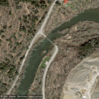
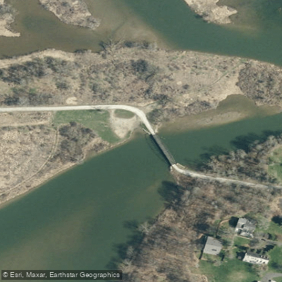
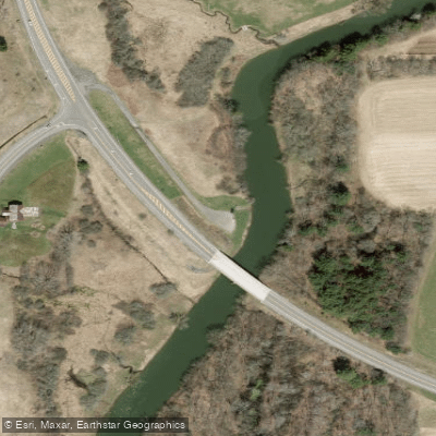
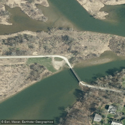
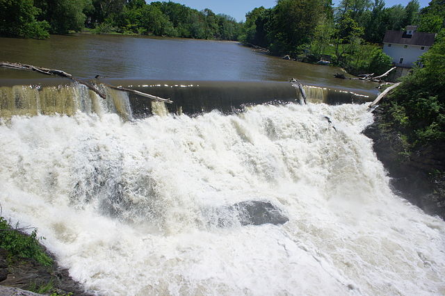
Key landmarks along the river include the steel bridge in Upper Lisle where the Otselic enters Dorchester Lake, and the dam north of Whitney Point. State Route 26 runs parallel to much of the river through Cortland County, though the waterway often meanders away from the road. Primary access points include Willet, Cincinnatus, Upper Lisle, and Whitney Point. These small towns provide convenient put-in and take-out locations for day trips or multi-day adventures.
The Otselic River holds significance as a vital waterway in the region's ecosystem and as a recreational resource for local communities. It played a role in the area's early development and continues to be an important feature of the landscape.
Safety considerations include being aware of water levels, which can fluctuate seasonally, and potential obstacles such as fallen trees. As with all river paddling, wearing a personal flotation device is essential. For those interested in multi-day trips, the full 54-mile course of the Otselic offers an extended paddling experience through the picturesque countryside of central New York. Camping options are available along the route, including at Upper Lisle Campground.
The Otselic River provides a delightful paddling experience, showcasing the natural beauty of New York's Southern Tier and Finger Lakes regions while offering a range of paddling challenges suitable for various skill levels.
Curated routes
Hand-picked by the PaddleWays team, with put-ins, take-outs, paddle times and the hazards along the way.
RouteFlatwater
RouteClass II
RouteClass I–II
Hazards
No paddler has reported a hazard here yet, so these are the dams, falls and big rapids on our map. Hazards change with flows and storms, so check them before you launch.
From the community
Nobody has shared a trip on Otselic River yet. Paddle it, then tell the next paddler how it went.
See exactly where the public can get on and off the river. Launch points and boat ramps are paired with PaddleWays' public land data so you know where you can legally land.
Public shoreline
3%of the river's shoreline is public
Most of the riverbank is private. Launch, land and camp only at public access points.
Flows, weather and a route-by-route verdict, so you know which stretch of the Otselic River is worth paddling today.
Live flows, marked hazards and fresh trip reports from paddlers who were just on the water, all in one place.





Every user gets free access to launch points, boat ramps, and public property parcels.



Loading popular cities...
PaddleWays gives you everything you need to plan smarter, paddle better, and own every trip from first launch to takeout.