Curated by PaddleWays
RouteClass I
- Distance
- 34 mi
- Paddle time
- ~8.5 hrs
- Put-in → take-out
- Tioughnioga River East Branch Boat Ramp → Tioughnioga River Boat Ramp
The Tioughnioga River is a scenic waterway in central New York, originating east of the Finger Lakes in Madison County. It flows southwest through Cortland County before joining the Chenango River near Chenango Forks. The river is formed by the confluence of its East and West Branches in the city of Cortland. At approximately 60 miles long, the Tioughnioga is part of the larger Susquehanna River watershed.
Paddling opportunities abound on the Tioughnioga, with several popular sections catering to a range of skill levels. The river is generally considered easy to moderate (Class I-II), making it ideal for beginners and families. Popular runs include the Marathon to Downtown Marathon section, the Cortland County section from Yaman Park to Lighthouse Landing, and the Whitney Point to Farm by Beer Tree stretch. The river's difficulty varies slightly by section but remains mostly flatwater with occasional riffles and small rapids.
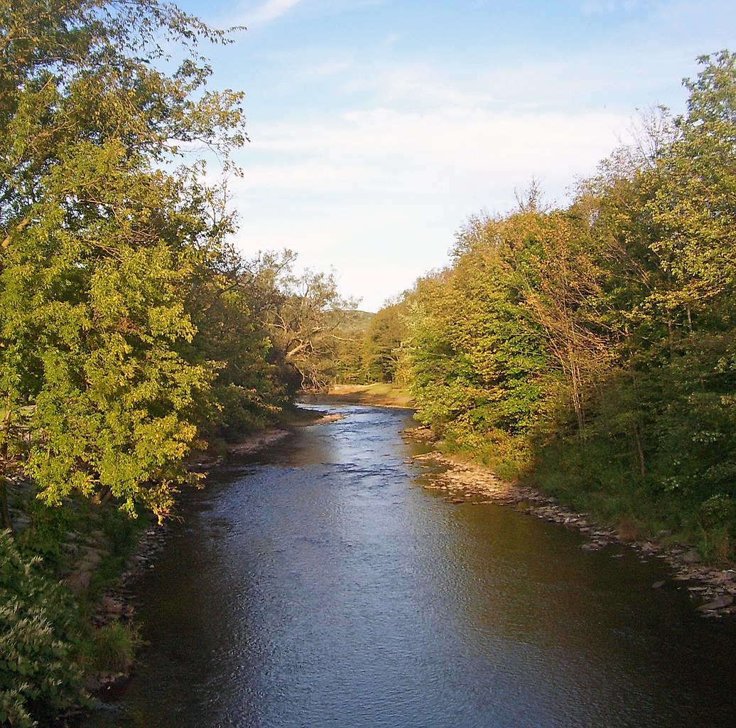
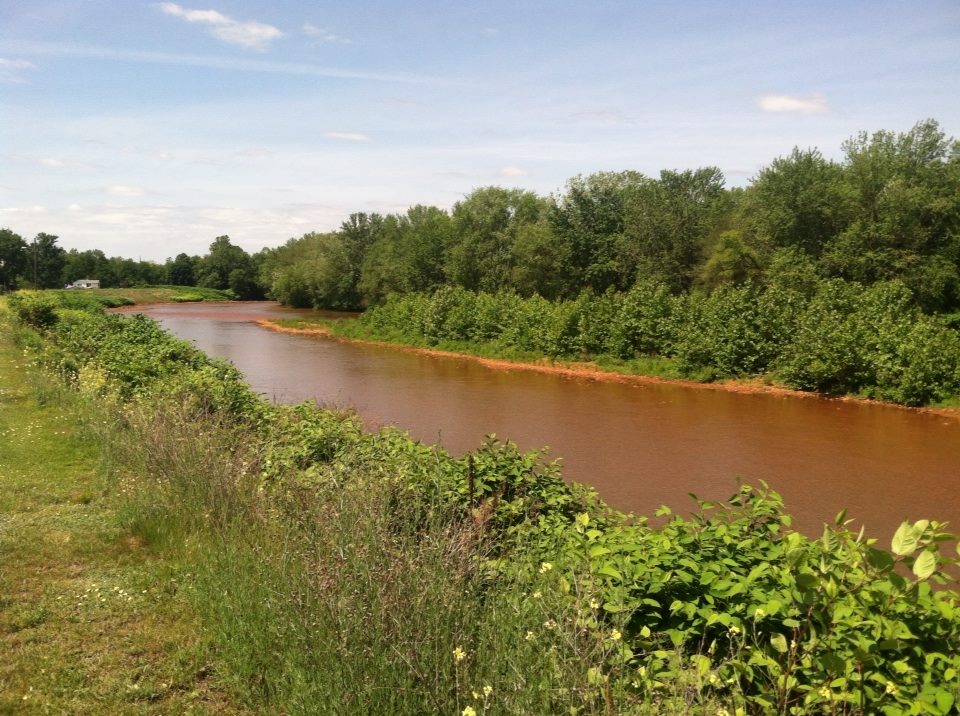
Spring typically offers the highest water levels, while summer provides pleasant conditions for cooling off. Fall foliage season can be particularly scenic. The Tioughnioga's banks are lined with sycamore trees and abundant wildflowers. Wildlife sightings may include various bird species, deer, and fish like smallmouth bass. The river alternates between short pools and gentle rapids, curving around small islands and offering a mix of sunny and shaded stretches.
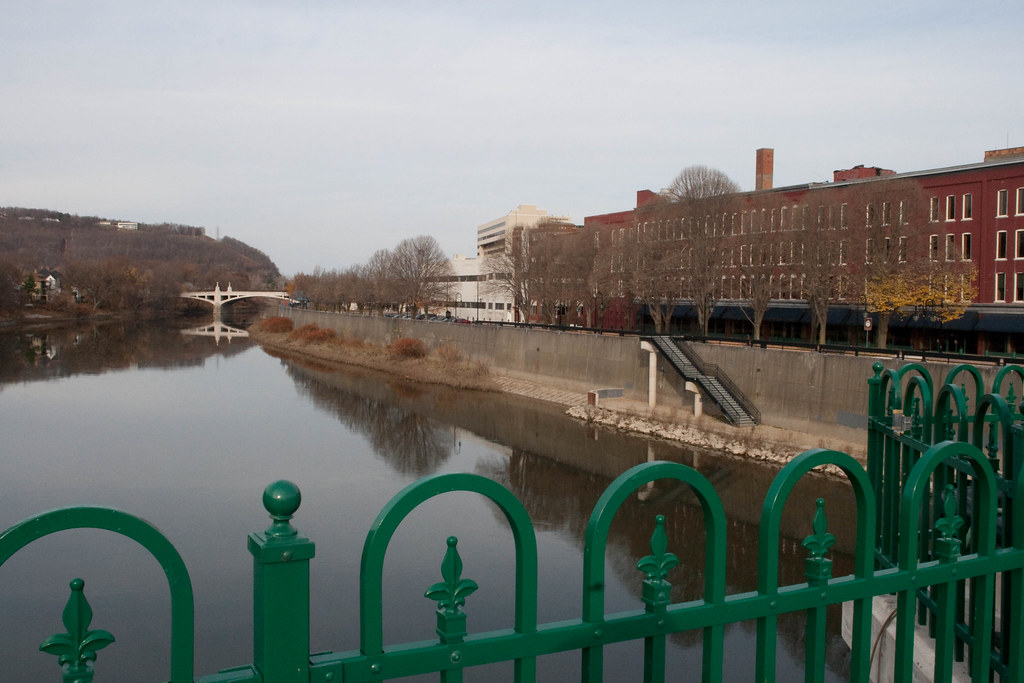
Key landmarks include the Route 11 bridge in Cortland, historically marking the head of navigation at Port Watson. The river passes through several small towns, including Marathon, which hosts a popular tubing operation at Lighthouse Landing Campground. Primary access points include Yaman Park in Cortland, various bridges and parks in Marathon, and takeouts near Chenango Forks. The river's course takes it through a mix of rural and small-town landscapes, providing a glimpse into central New York's natural beauty and history.
The Tioughnioga holds cultural significance as a longtime recreation destination and the birthplace of notable outdoor brands. Cortland Line Company and Marathon Boat Group (known for Grumman Canoes) both originated along its banks.
While generally safe, paddlers should be aware of typical river hazards like strainers and changing water levels. Personal flotation devices are required. Multi-day trips are possible by combining sections, with camping available at locations like Lighthouse Landing. The Tioughnioga River offers a delightful paddling experience through the heart of New York, blending natural scenery, gentle waters, and rich local history.
Curated routes
Hand-picked by the PaddleWays team, with put-ins, take-outs, paddle times and the hazards along the way.
RouteClass I
Hazards
No hazards are marked on Tioughnioga River yet. That is not the same as none being there: if you find one, report it for the next paddler.
From the community
Real trips from PaddleWays paddlers: which route they ran, how the flows were, and what to watch for.
Loading trip reports
Scott S.
Kayak •
Tioughnioga River East Branch Boat Ramp to Tioughnioga River Boat Ramp
Tioughnioga Kayak 6/20/26
Scott S.
Tioughnioga River East Branch Boat Ramp to Tioughnioga River Boat Ramp
See exactly where the public can get on and off the river. Launch points and boat ramps are paired with PaddleWays' public land data so you know where you can legally land.
Public shoreline
0%of the river's shoreline is public
Most of the riverbank is private. Launch, land and camp only at public access points.
Flows, weather and a route-by-route verdict, so you know which stretch of the Tioughnioga River is worth paddling today.
All Flow Stations
Live flows, marked hazards and fresh trip reports from paddlers who were just on the water, all in one place.





Every user gets free access to launch points, boat ramps, and public property parcels.


Loading popular cities...
PaddleWays gives you everything you need to plan smarter, paddle better, and own every trip from first launch to takeout.