Curated by PaddleWays
RouteClass I–II
- Distance
- 11.8 mi
- Paddle time
- ~4 hrs
- Best for
- Kayak, canoe
- Put-in → take-out
- Collettsville Access → Corpening Bridge Access
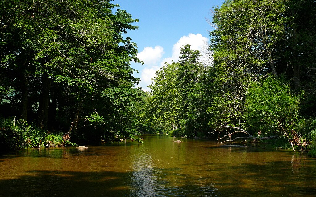
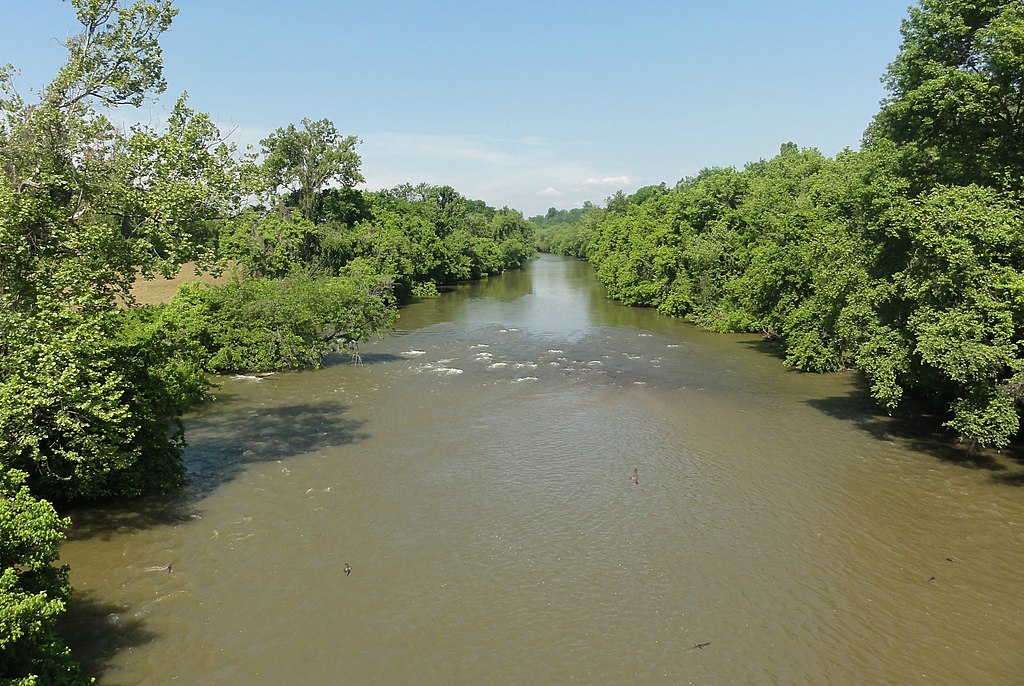
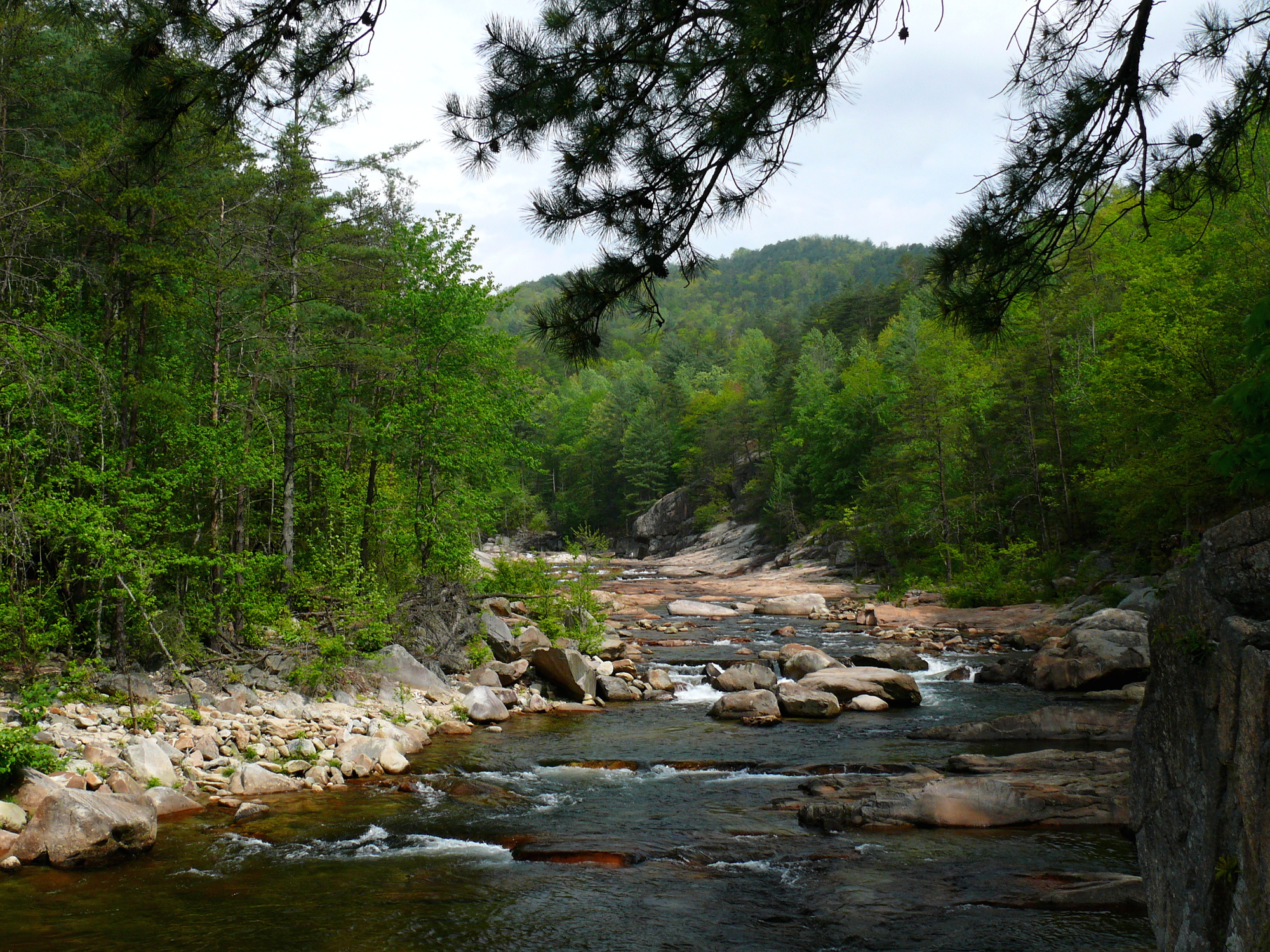
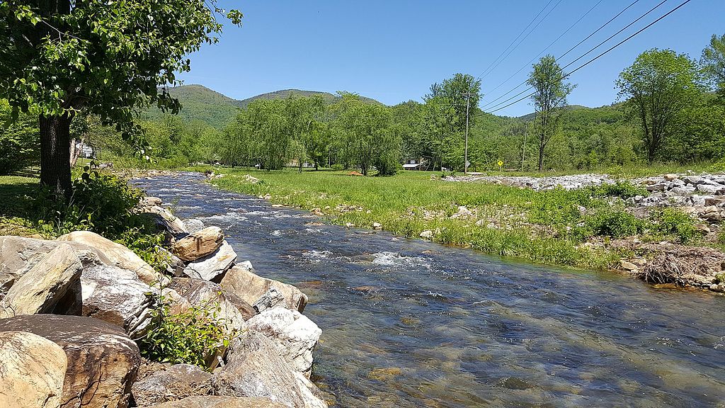
The Johns River is a scenic waterway located in western North Carolina, originating in the Pisgah National Forest and flowing generally southeast through Burke and Caldwell Counties before joining the Catawba River at Lake Rhodhiss. This picturesque river winds through the foothills of the Blue Ridge Mountains, offering paddlers a mix of gentle rapids and calm stretches perfect for honing whitewater skills or enjoying a relaxed float.
The Johns River provides several popular paddling sections ranging from 4 to 6.5 miles in length, with difficulty ratings primarily in the Class I-II range. The Collettsville section from Hard & Flossie Park to Corpening Bridge is a favorite 6.5-mile stretch, featuring easy whitewater suitable for beginners and intermediate paddlers. Another notable run is the 4-mile section from Brown Mountain Beach to the Johns River confluence, which includes some Class III features during higher water levels.
Paddling opportunities are best from late spring through early fall when water levels are typically favorable. The river tends to clear quickly after rain events, making it readily accessible. Winter paddling is possible but requires proper cold-weather gear. The surrounding landscape showcases the beauty of the North Carolina mountains, with forested banks and occasional wildlife sightings.
Key access points include Hard & Flossie Park in Collettsville, the Johns River Camp Bridge, and various bridge crossings like Route 1328, Route 1438, and Corpening Bridge. The nearby towns of Morganton and Lenoir serve as convenient base camps for river adventures.
Safety considerations include being aware of potential log jams, especially after high water events. Paddlers should always check current conditions and are advised to run the river with a group, particularly if not experienced in whitewater. Multi-day trip options are limited, but the river's proximity to other waterways like Wilson Creek allows for extended paddling itineraries in the area.
The Johns River holds cultural significance as part of the region's outdoor recreation heritage, with several camps and outdoor education centers located along its banks. Its waters have long been a draw for anglers, paddlers, and nature enthusiasts seeking to experience the natural beauty of western North Carolina's river systems.
Curated routes
Hand-picked by the PaddleWays team, with put-ins, take-outs, paddle times and the hazards along the way.
RouteClass I–II
Hazards
No hazards are marked on Johns River yet. That is not the same as none being there: if you find one, report it for the next paddler.
From the community
Real trips from PaddleWays paddlers: which route they ran, how the flows were, and what to watch for.
Loading trip reports
Dylan P.
361 cfs at Arneys Store
The rock swimming hole to John's bridge
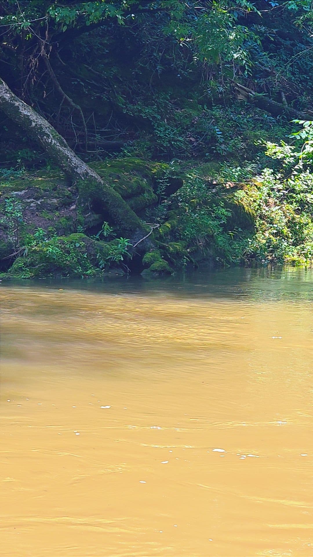
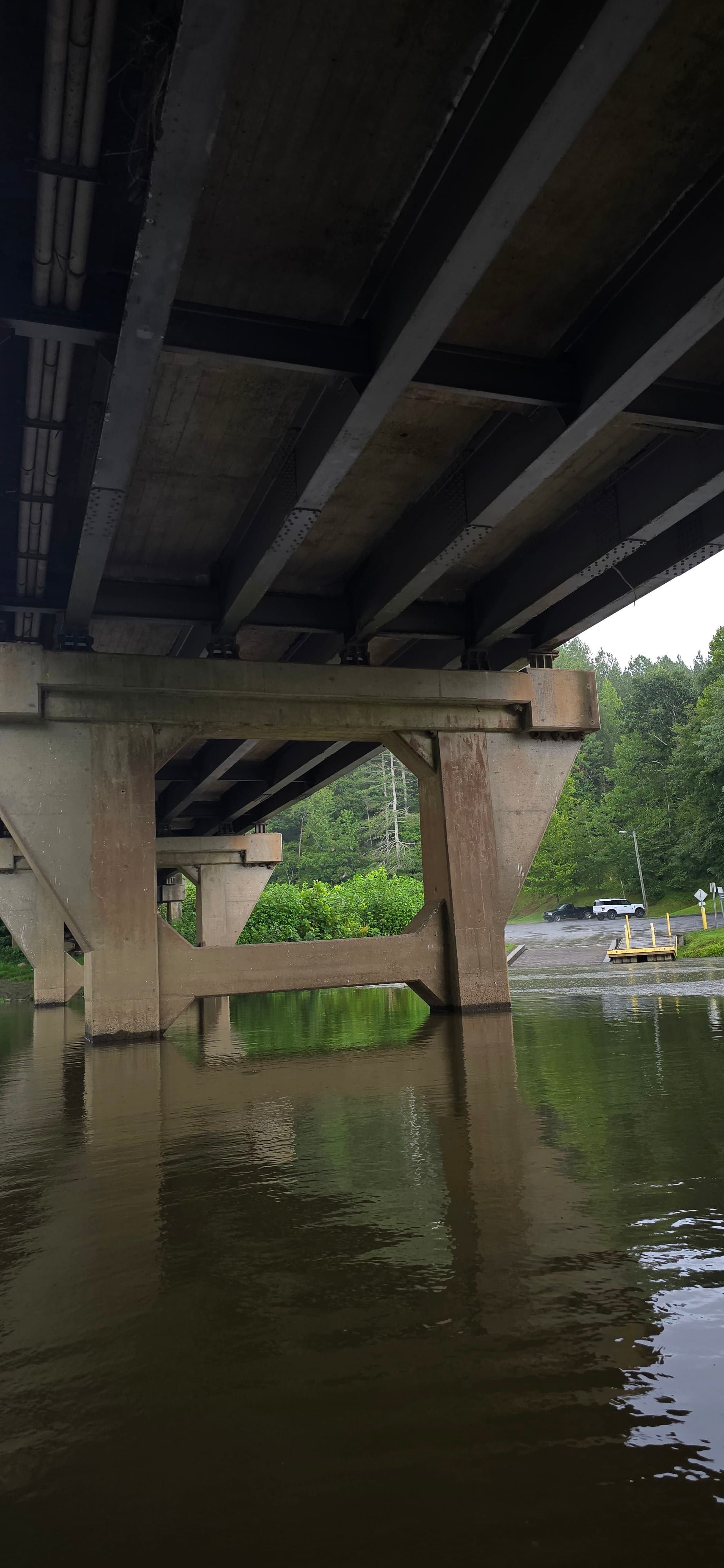
Dylan P.
135 cfs at Arneys Store
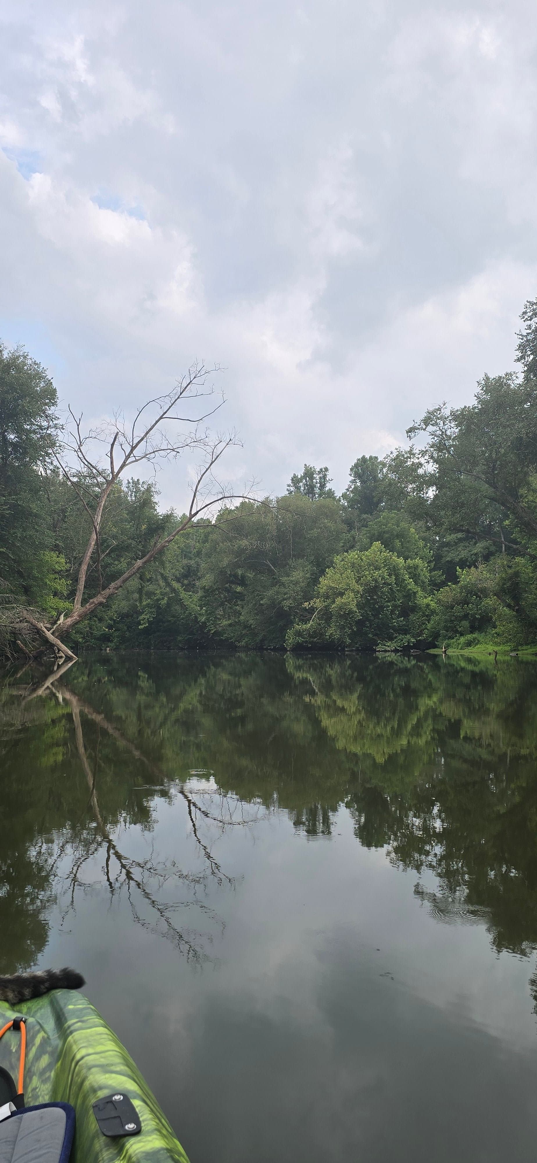
Beautiful trip about 6 miles. With water levels lower there are many shallow areas but completely passable by kayak. A few beginner rapids the first 30 min of trip the rest is calm. About 30 min before bridge the water becomes consistently deeper and best for boats.
See exactly where the public can get on and off the river. Launch points and boat ramps are paired with PaddleWays' public land data so you know where you can legally land.
Public shoreline
25%of the river's shoreline is public
Most of the riverbank is private. Launch, land and camp only at public access points.
Flows, weather and a route-by-route verdict, so you know which stretch of the Johns River is worth paddling today.
Live flows, marked hazards and fresh trip reports from paddlers who were just on the water, all in one place.





Every user gets free access to launch points, boat ramps, and public property parcels.
Loading popular cities...
PaddleWays gives you everything you need to plan smarter, paddle better, and own every trip from first launch to takeout.