Curated by PaddleWays
RouteClass II–III
- Distance
- 4.9 mi
- Paddle time
- ~1 hr
- Put-in → take-out
- Pineola Access → Crossnore Access
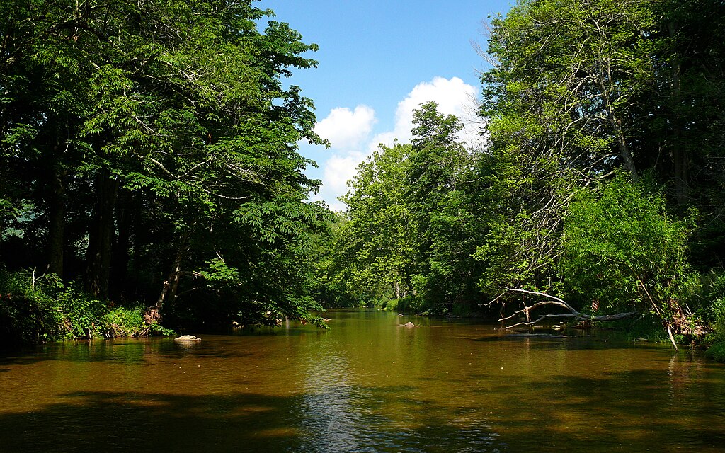
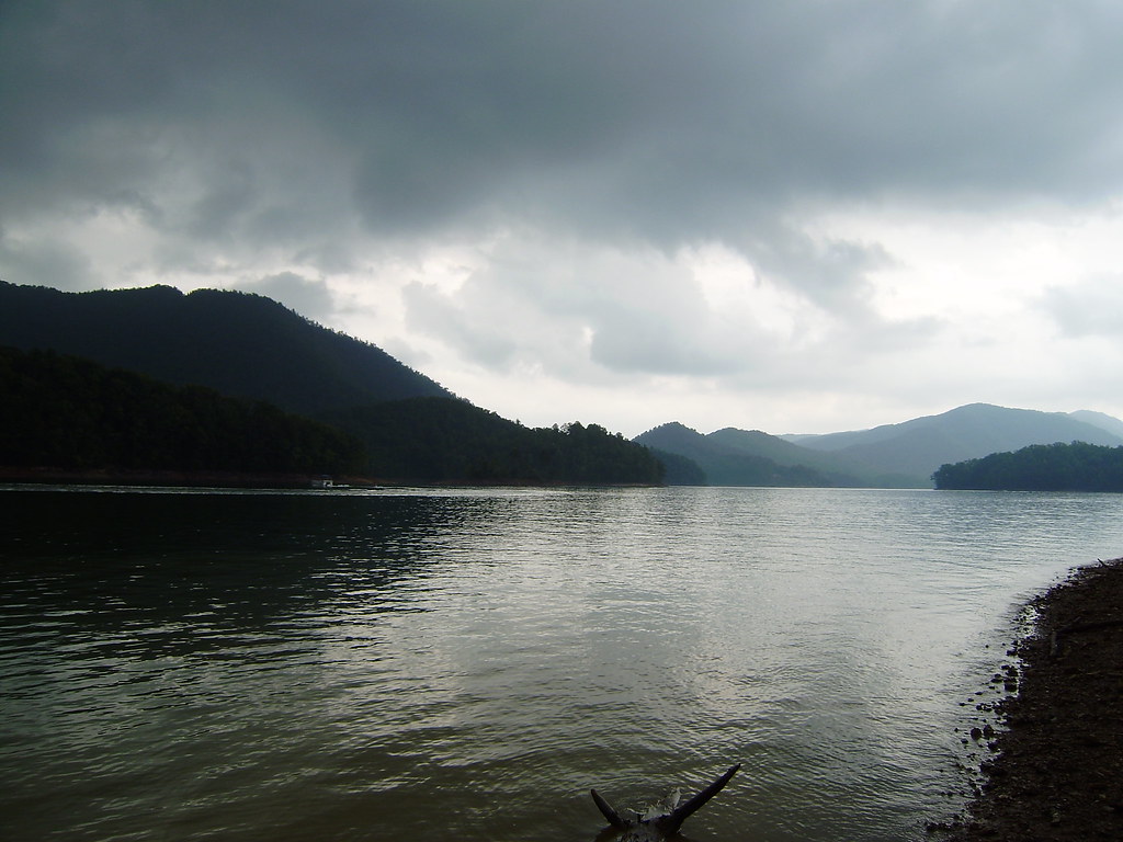
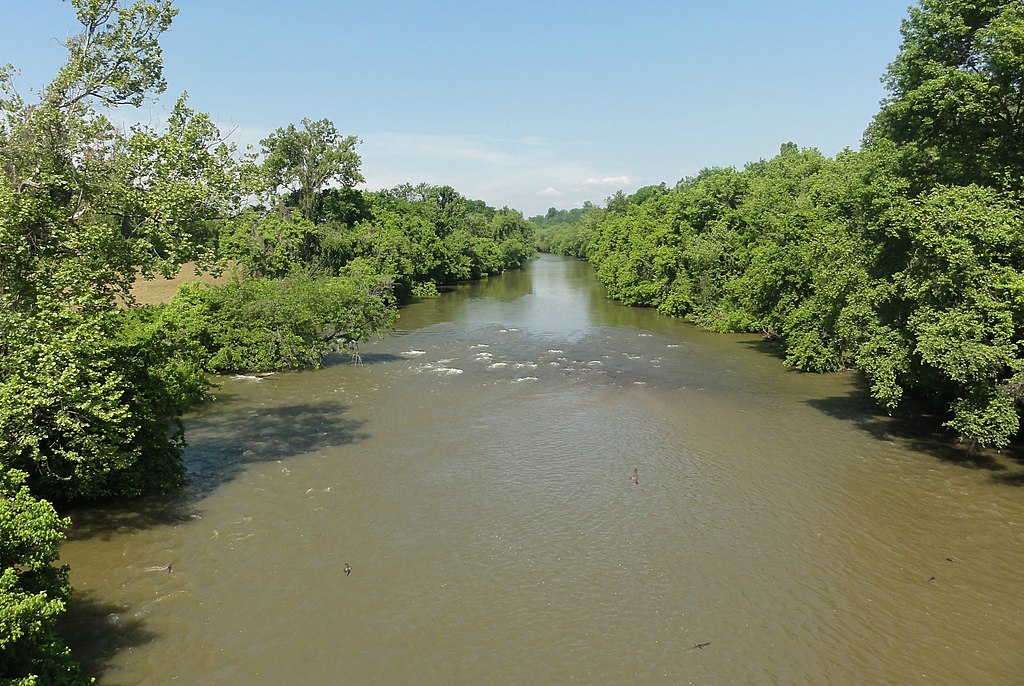
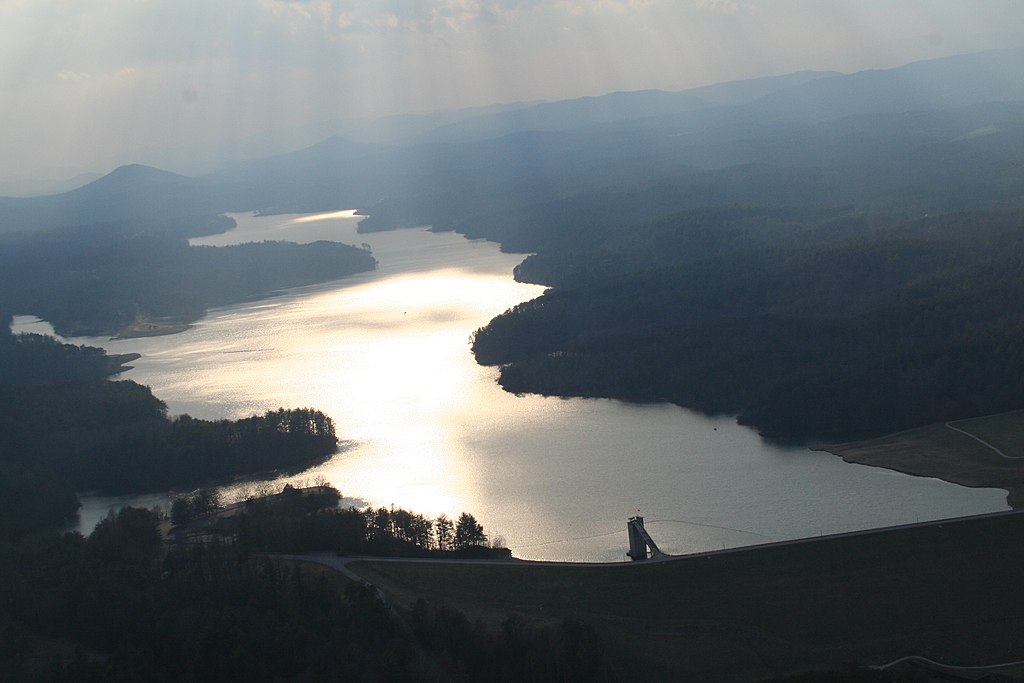
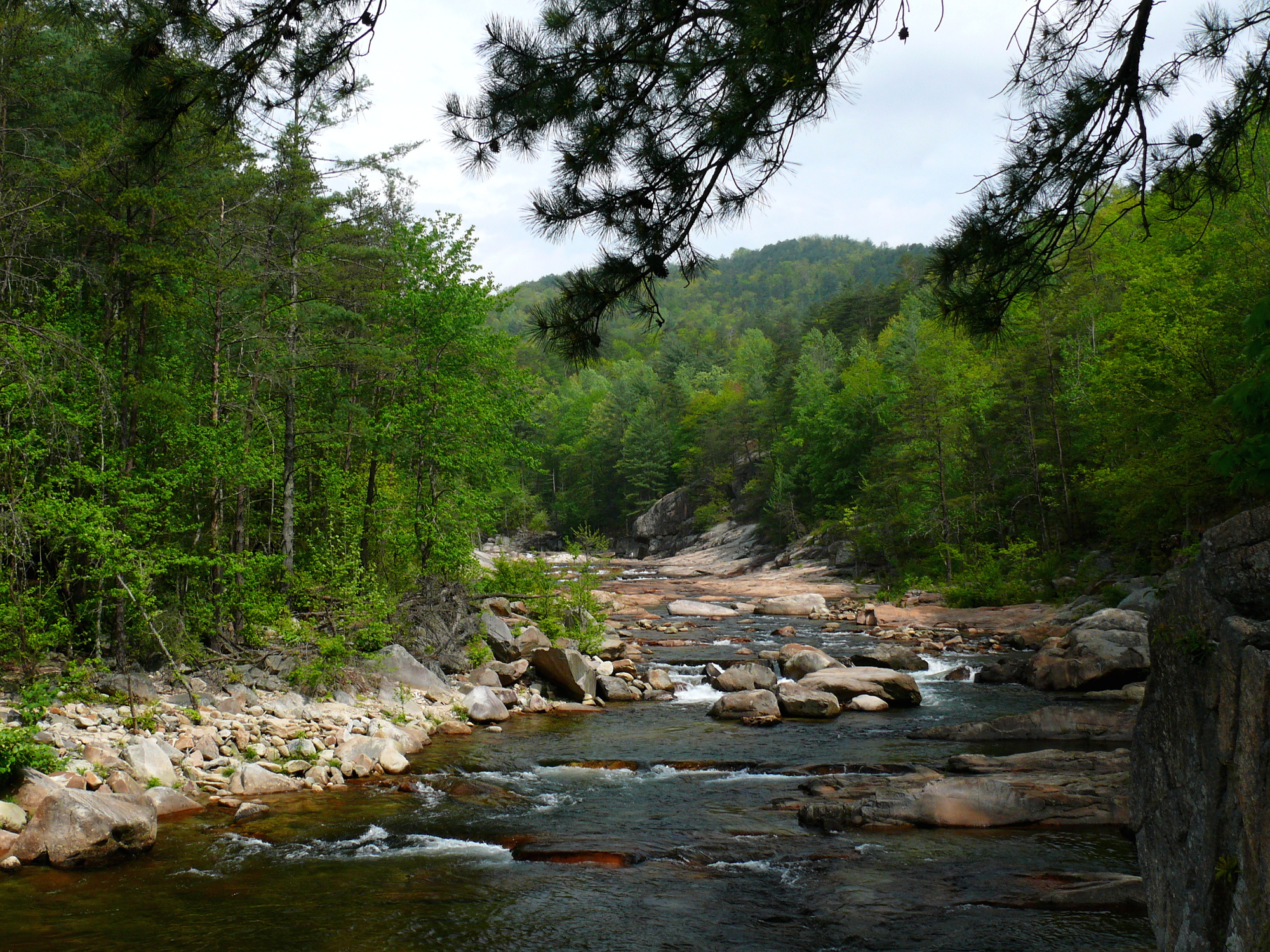
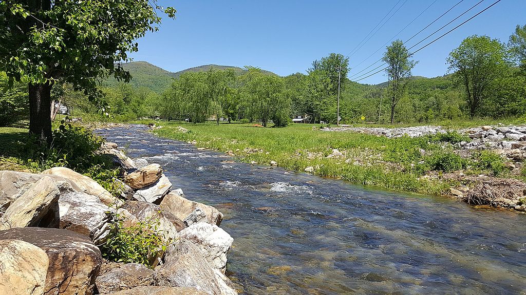
The Linville River is a scenic and challenging waterway that flows through the rugged Linville Gorge Wilderness in western North Carolina. Originating on the eastern slopes of Grandfather Mountain in Avery County, the river flows south through a deep canyon, eventually emptying into Lake James in Burke County. The river's upper section from Pineola to Crossnore offers an approachable Class II-III paddling experience through small mountain communities. However, the Linville is best known for its wild 16.4-mile gorge section from Linville Falls to Lake James. This stretch features intense Class IV-V+ whitewater as the river cuts thousands of feet deep into the surrounding landscape.
The gorge section is suitable only for expert kayakers and rafters due to its tight, technical rapids and remote setting. It requires a significant hike to access put-in and take-out points, with elevation changes. The run is typically done in one day but can be extremely demanding. Key rapids are concentrated in Cathedral Gorge, offering stunning views of Hawksbill and Table Rock peaks towering above. Spring and fall are ideal paddling seasons when water levels are most reliable. The river is generally runnable between 200-700 cfs. Paddlers should be prepared for a wilderness experience with limited access and cell service.
The Linville Gorge is renowned for its biodiversity, home to rare plant species and wildlife including black bears, raptors, and salamanders. Old-growth forests line the steep canyon walls. Notable landmarks include Linville Falls at the top of the gorge and the dramatic rock formations throughout. Primary access points are at Linville Falls for put-in and take-out options at various trails like Pine Gap or exiting at Lake James. The nearby towns of Linville Falls, Nebo, and Morganton provide services.
The Linville River and its gorge hold cultural significance for Cherokee history and early European exploration. Today it's protected as part of Pisgah National Forest, with regulations on group size and camping to preserve its wilderness character. Safety is paramount given the river's difficulty and remoteness. Paddlers must be self-sufficient and prepared for emergencies. While primarily a single-day run, multi-day trips are possible for those wanting to fully immerse in the Linville Gorge's wild beauty, though camping permits are required.
The Linville River offers one of the Southeast's premier whitewater challenges, rewarding skilled paddlers with an unparalleled wilderness river experience through one of the East's most dramatic gorges.
Curated routes
Hand-picked by the PaddleWays team, with put-ins, take-outs, paddle times and the hazards along the way.
RouteClass II–III
RouteClass IV–V
Hazards
No paddler has reported a hazard here yet, so these are the dams, falls and big rapids on our map. Hazards change with flows and storms, so check them before you launch.
Dam
Portage River right by the concrete structure. Don’t follow the trail above since it will be more difficult to get back to the water.
From the community
Nobody has shared a trip on Linville River yet. Paddle it, then tell the next paddler how it went.
See exactly where the public can get on and off the river. Launch points and boat ramps are paired with PaddleWays' public land data so you know where you can legally land.
Public shoreline
36%of the river's shoreline is public
Most of the riverbank is private. Launch, land and camp only at public access points.
Flows, weather and a route-by-route verdict, so you know which stretch of the Linville River is worth paddling today.
Live flows, marked hazards and fresh trip reports from paddlers who were just on the water, all in one place.





Every user gets free access to launch points, boat ramps, and public property parcels.
Loading popular cities...
PaddleWays gives you everything you need to plan smarter, paddle better, and own every trip from first launch to takeout.