Curated by PaddleWays
RouteClass I–III
- Distance
- 29.3 mi
- Paddle time
- ~7.5 hrs
- Best for
- Kayak, canoe, raft
- Put-in → take-out
- Riverside Park Access → Pigeon Roost Access
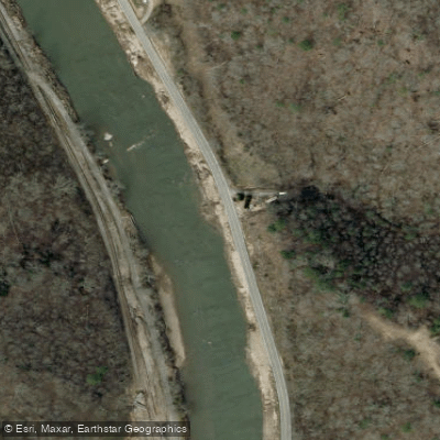
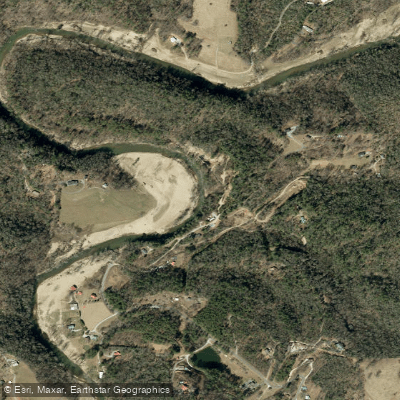
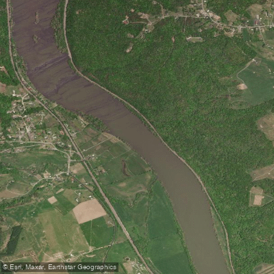
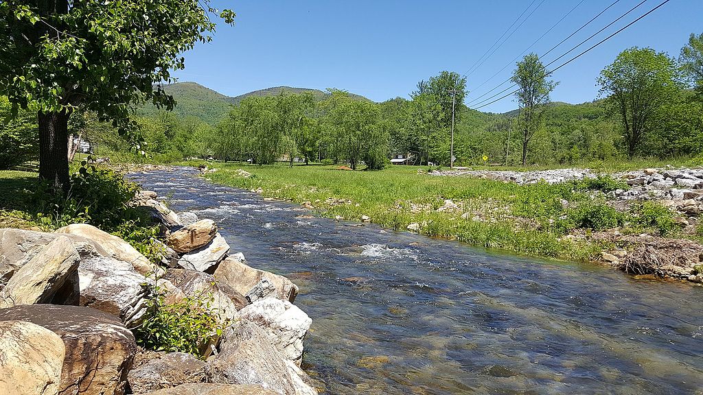
The North Toe River is a scenic waterway in western North Carolina, originating in Avery County near Sugar Mountain and flowing generally southwest through Mitchell and Yancey counties. It joins the Cane River to form the Toe River, which eventually becomes part of the Nolichucky River system. The North Toe River stretches approximately 70 miles through the Blue Ridge Mountains, draining a watershed of about 350 square miles.
Paddling opportunities abound on the North Toe, with several popular sections catering to different skill levels. The 37-mile Toe River Canoe Trail from Spruce Pine to Poplar offers a mix of Class I-III rapids suitable for intermediate paddlers. Shorter sections like the 4.5-mile Spruce Pine to Penland run (Class II-II+) and the 10-mile US 19E section (Class II) are favored by recreational kayakers and canoeists. For beginners and families, the Loafers Glory area near Bakersville provides calm waters perfect for tubing and easy kayaking. The overall difficulty ranges from Class I to III, with most sections falling in the Class II range. While some areas are suitable for novices, many parts require basic whitewater skills and the ability to read rapids.
Seasonal patterns make spring and early summer the best times for paddling, with higher water levels from snowmelt and rainfall. Fall can also offer good conditions, while late summer may see lower water levels.
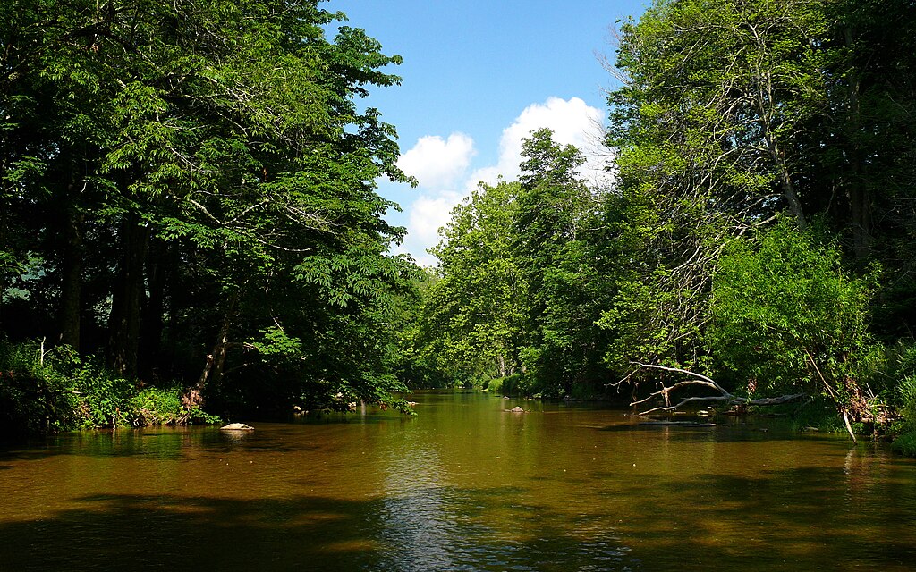
The river corridor supports a diverse ecosystem, with opportunities to spot wildlife such as deer, various bird species, and even the occasional river otter. The endangered Appalachian elktoe mussel is found in some stretches of the North Toe, highlighting its ecological importance.
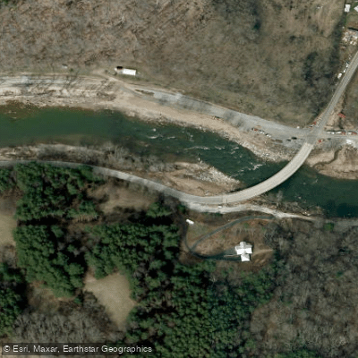
Key landmarks include the Hellbender rapid and Penland Falls on the Spruce Pine to Penland section. The river passes through charming mountain towns like Spruce Pine, offering glimpses of local culture and history. Riverside Park in Spruce Pine serves as a popular access point, while other put-ins and take-outs are scattered along the river's course, often near road crossings.
The North Toe River played a significant role in the region's mining history, with numerous mica and feldspar mines once operating along its banks. Today, it's an important recreational resource, supporting local economies through tourism and outdoor activities.
Safety considerations include checking water levels before paddling, as the river can become challenging at high flows. Paddlers should be aware of potential strainers and always wear appropriate safety gear. Some sections may require permits or have specific regulations, so it's advisable to check with local outfitters or authorities before embarking on a trip.
For those seeking a multi-day adventure, the full 37-mile Toe River Canoe Trail can be broken into segments, with camping options available along the route. This allows paddlers to fully immerse themselves in the beauty and tranquility of the North Carolina mountains while exploring one of the region's most picturesque rivers.
Curated routes
Hand-picked by the PaddleWays team, with put-ins, take-outs, paddle times and the hazards along the way.
RouteClass I–III
RouteClass II
Hazards
No paddler has reported a hazard here yet, so these are the dams, falls and big rapids on our map. Hazards change with flows and storms, so check them before you launch.
From the community
Nobody has shared a trip on North Toe River yet. Paddle it, then tell the next paddler how it went.
See exactly where the public can get on and off the river. Launch points and boat ramps are paired with PaddleWays' public land data so you know where you can legally land.
Public shoreline
1%of the river's shoreline is public
Most of the riverbank is private. Launch, land and camp only at public access points.
Flows, weather and a route-by-route verdict, so you know which stretch of the North Toe River is worth paddling today.
No forecast data available.
Live flows, marked hazards and fresh trip reports from paddlers who were just on the water, all in one place.





Every user gets free access to launch points, boat ramps, and public property parcels.

Loading popular cities...
PaddleWays gives you everything you need to plan smarter, paddle better, and own every trip from first launch to takeout.