Curated by PaddleWays
RouteClass I–II
- Distance
- 5.1 mi
- Paddle time
- ~1.5 hrs
- Best for
- Beginners, families
- Put-in → take-out
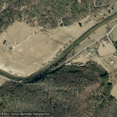
- Green Valley Access Boat Ramp → Todd Island Access Boat Ramp
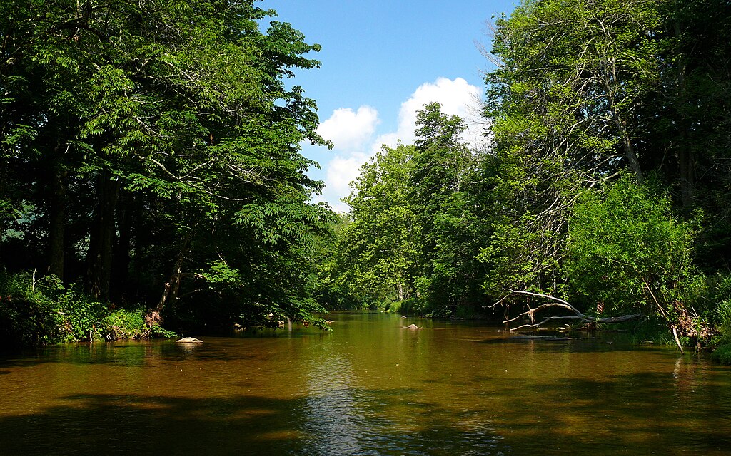
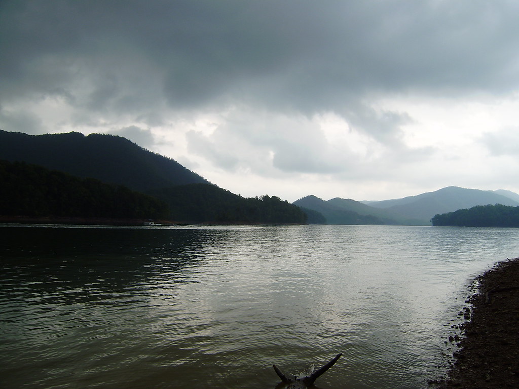
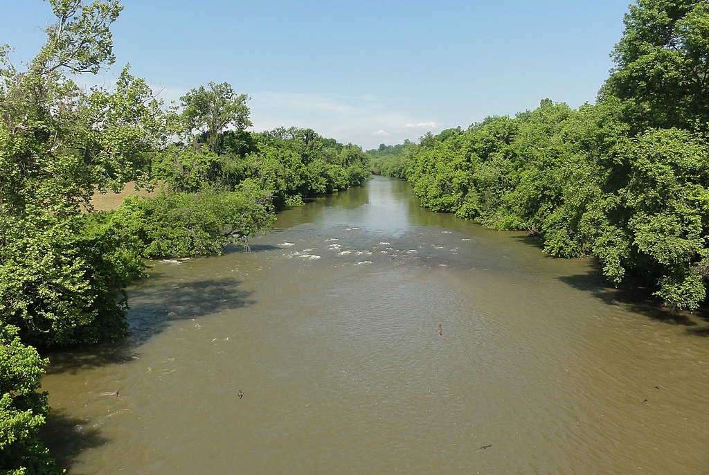
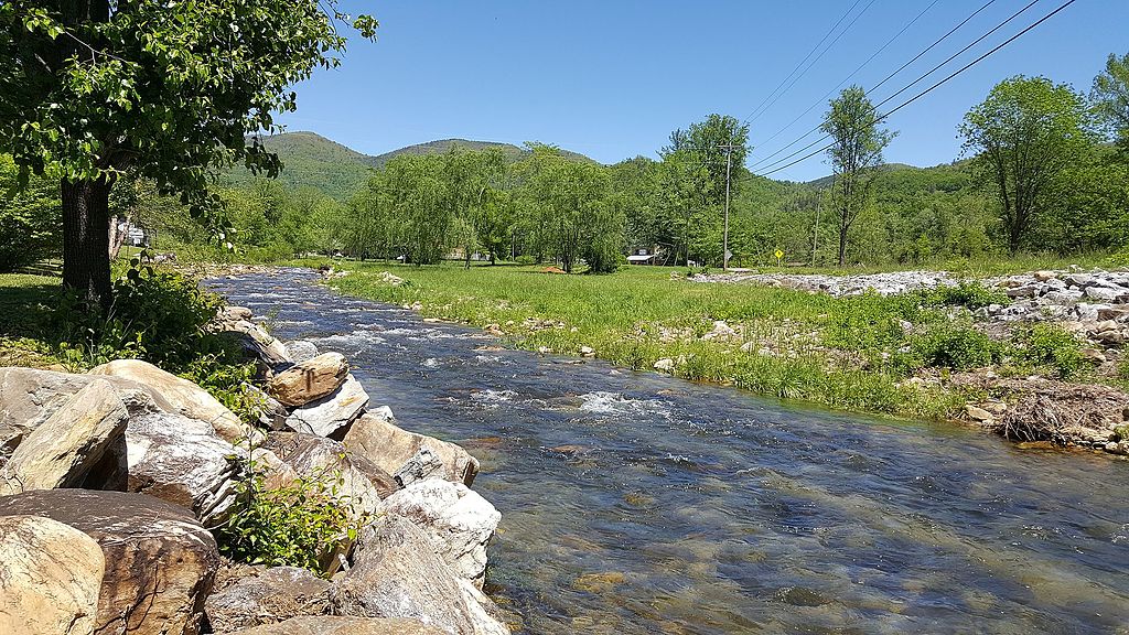
The South Fork New River originates in the Blue Ridge Mountains near Boone, North Carolina and flows northward, eventually joining the North Fork to form the main stem of the New River. This scenic waterway meanders approximately 70 miles through Watauga and Ashe counties before reaching the confluence. The South Fork and its tributaries drain a watershed of about 850 square miles in northwestern North Carolina.
Paddling opportunities abound on the South Fork, with numerous sections suitable for canoes, kayaks, and tubes. The river's difficulty ranges from flatwater to Class II, making it ideal for beginners and families while still offering enough variety to keep more experienced paddlers engaged. Popular runs include the 10-mile stretch from New River State Park 221 Access to Zaloo's near Jefferson, and the 5-mile section from Zaloo's to Wagoner Access.
The South Fork is typically paddleable year-round, though summer and early fall offer the most pleasant conditions. Water levels average around 2.5 feet but can fluctuate between 2 and 8 feet. Spring brings higher water and cooler temperatures, while late summer may require more careful navigation of shallow spots.
The river corridor supports diverse ecosystems, including riverside forests, wetlands, and rocky outcrops. Wildlife sightings may include deer, river otters, and a variety of bird species. Anglers can pursue smallmouth bass, trout, and other game fish.
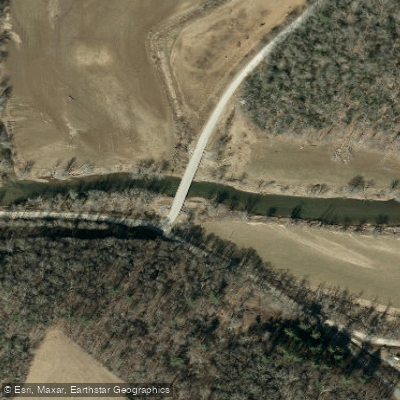
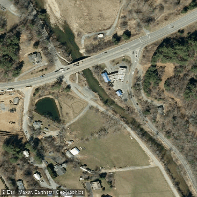
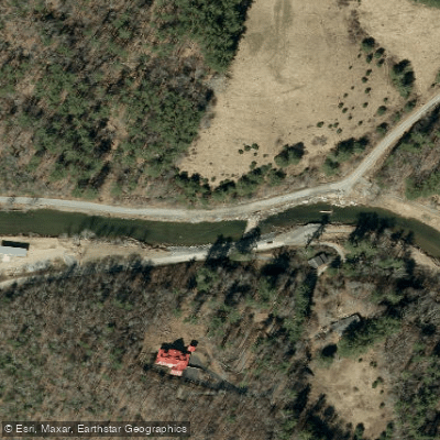
Key landmarks include the historic community of Todd, Green Valley Community Park (a unique island park), and multiple access points within New River State Park. The river passes through scenic rural landscapes and offers views of the surrounding mountains.
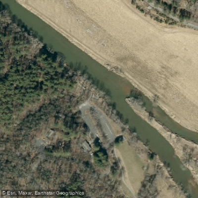
Major access points include Pine Run near Boone, Todd, Zaloo's Canoes near Jefferson, and several locations within New River State Park. These provide convenient put-in and take-out options for trips of various lengths.
Designated as a National Wild and Scenic River in 1976, the South Fork New River holds significant ecological, recreational, and cultural value. The river valley has a rich history of Native American settlement and early Appalachian culture.
While generally calm, paddlers should be aware of occasional strainers and submerged obstacles. All boaters are required to have personal flotation devices. Multi-day trips are possible by combining sections and utilizing campgrounds at New River State Park or private campgrounds along the route.
The South Fork New River offers a quintessential Blue Ridge paddling experience, combining natural beauty, gentle rapids, and rich cultural heritage into an accessible adventure for a wide range of outdoor enthusiasts.
Curated routes
Hand-picked by the PaddleWays team, with put-ins, take-outs, paddle times and the hazards along the way.
RouteClass I–II
RouteFlatwater
RouteFlatwater
RouteFlatwater
Hazards
Reported by paddlers, with the dams, falls and big rapids on our map. Hazards change with flows and storms, so check them before you launch.
Hazard
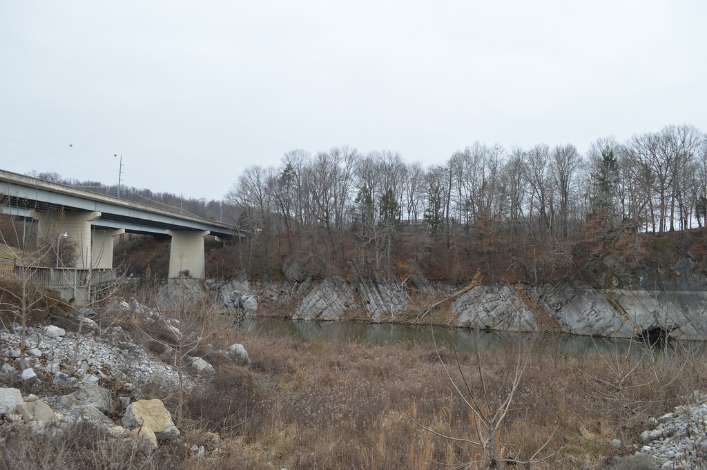
low-head bridge
From the community
Nobody has shared a trip on South Fork New River yet. Paddle it, then tell the next paddler how it went.
See exactly where the public can get on and off the river. Launch points and boat ramps are paired with PaddleWays' public land data so you know where you can legally land.
Public shoreline
28%of the river's shoreline is public
Most of the riverbank is private. Launch, land and camp only at public access points.
Flows, weather and a route-by-route verdict, so you know which stretch of the South Fork New River is worth paddling today.
Live flows, marked hazards and fresh trip reports from paddlers who were just on the water, all in one place.





Every user gets free access to launch points, boat ramps, and public property parcels.
Loading popular cities...
PaddleWays gives you everything you need to plan smarter, paddle better, and own every trip from first launch to takeout.