Lake Josephine
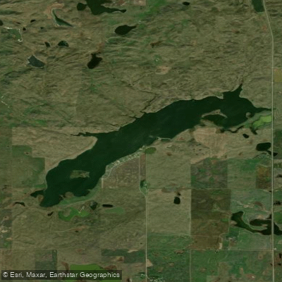
Lake Josephine
- Boat Ramps
- 1
- Access Points
- 1
- Campsites
- 0
Lake Josephine, located 2 miles north of Tuttle, North Dakota, offers paddlers a serene experience on a smaller body of water. The lake features a fishing pier and boat ramp, providing convenient access points for kayaks and canoes. The moderate size of the lake allows for leisurely exploration of its entirety.
The lake is known for its abundant walleye population, with fish occasionally exceeding 25 inches in length. Paddlers may also encounter a fair number of perch and a low number of northern pike. This diverse fish population contributes to the lake's appeal for anglers, but also enhances the paddling experience with potential wildlife sightings.
Facilities at Lake Josephine cater to both paddlers and anglers. The presence of a fishing pier suggests some shoreline development, while the boat ramp allows for easy launching of watercraft. These amenities make the lake accessible for day trips and provide basic comforts for visitors.
The best time for paddling on Lake Josephine is typically from late spring to early fall when temperatures are most favorable. However, conditions can vary, so it's always best to check the weather before heading out.
Lake Josephine's setting in the North Dakota landscape offers a prairie backdrop. Paddlers should be prepared for potential wind exposure, which is common in this region and can affect paddling conditions.
It's worth noting that while Lake Josephine is suitable for paddling, it is primarily known as a fishing destination. Paddlers should be respectful of anglers and aware of fishing activities on the lake. As with any body of water, checking current conditions and local regulations before planning a paddling trip is advisable.
Water access, boat ramps & amenities
Learn how to get on Lake Josephine. Uncover great paddling access points, boat ramps, and all the facilities you need for an unforgettable day on the water. Some locations shown may border or include private property. Always check property boundaries and applicable regulations before visiting. PaddleWays's Public & Private Land layer can help you plan your access with confidence.
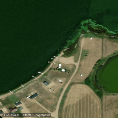
Paddle smarter with real-time insights
Whether you're en route and conditions shift or you're looking for the best spot based on current flows, we enable you to make informed decisions on the fly.








Find Places to Paddle

Over 400,000 Places to Paddle
Every user gets free access to launch points, boat ramps, and public property parcels.


Water and weather conditions (10 day forecast)
See the best times to paddle Lake Josephine and check the forecast before you go.
No forecast data available.
Paddling near Lake Josephine

Missouri River
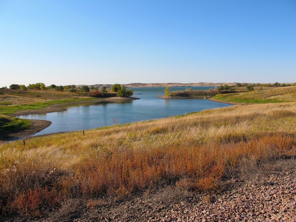
Lake Oahe
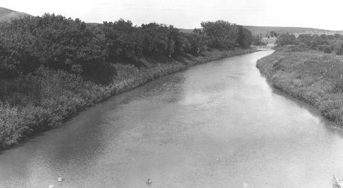
Heart River
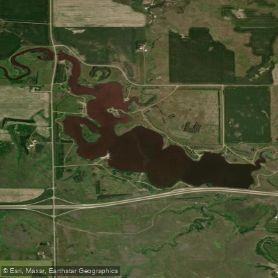
Sweet Briar Lake
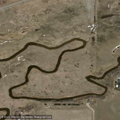
Apple Creek
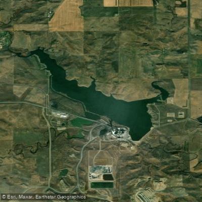
Nelson Lake
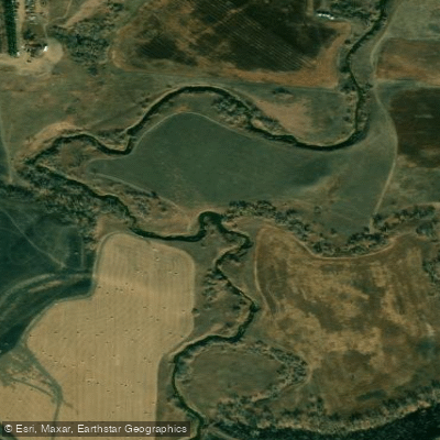
Square Butte Creek
Cannonball River
Long Lake
Explore North Dakota waters
Top paddling waters
Popular Cities
Loading popular cities...
Explore near Lake Josephine

Smarter Paddling Starts in the App.
Paddleways gives you everything you need to plan smarter, paddle better, and own every trip from first launch to takeout.