White Earth River
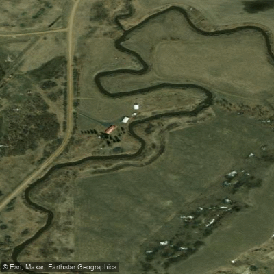
White Earth River
- Boat Ramps
- 1
- Access Points
- 2
- Campsites
- 2
The White Earth River is a modest but significant waterway in northwestern North Dakota, flowing approximately 50 miles before joining the Missouri River. Originating near the town of White Earth, the river meanders southward through gently rolling prairie landscapes, carving a path through the region's characteristic badlands topography.
Paddling opportunities on the White Earth River are limited but rewarding for those seeking a peaceful journey through North Dakota's rugged beauty. The main stem offers a full-day paddle suitable for canoes and kayaks, with difficulty ranging from Class I to II. While not known for whitewater, the river presents occasional riffles and swift sections that require basic maneuvering skills.
The optimal paddling season typically runs from late spring through early fall, with water levels and flow rates influenced by snowmelt and rainfall. Paddlers should check the USGS monitoring station at White Earth (06332000) for current conditions before embarking.
The river corridor supports a diverse ecosystem, with cottonwood galleries lining the banks and providing habitat for various bird species, including bald eagles. Mule deer and pronghorn antelope may be spotted on the surrounding hillsides.
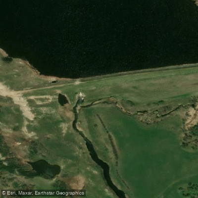
A key point of interest is the White Earth Dam, located about 6 miles north of the town of White Earth. The dam creates a small lake with a 5.6-mile shoreline, offering flatwater paddling and fishing opportunities. The adjacent White Earth Bay Recreation Area provides camping facilities and amenities for visitors.
Primary access points include put-ins near the town of White Earth and take-outs at the Missouri River confluence. The nearby communities of Stanley and New Town can serve as bases for river expeditions.
Historically, the White Earth River valley was home to indigenous peoples, including the Mandan and Hidatsa tribes. Later, it played a role in the region's oil boom, with the river's name reflecting the white clay deposits found in the area.
Safety considerations include checking water levels, being prepared for sudden weather changes, and carrying appropriate safety gear. Paddlers should be aware of potential obstacles such as fallen trees and should respect private property along the banks.
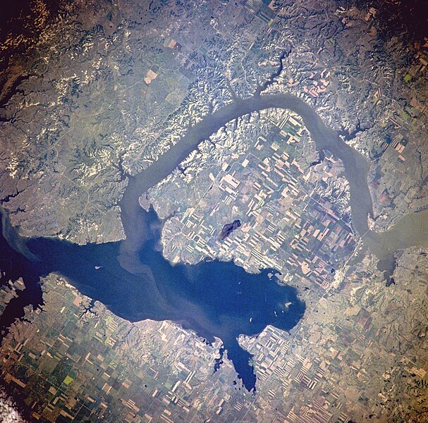
While multi-day trips on the White Earth River itself are not common due to its length, adventurous paddlers can combine a day on the river with exploration of the larger Lake Sakakawea system, into which the White Earth flows via the Missouri River. This lesser-known North Dakota waterway offers a serene paddling experience through a landscape steeped in natural beauty and cultural heritage, providing a unique perspective on the state's diverse geography.
Water access, boat ramps & amenities
Learn how to get on White Earth River. Uncover great paddling access points, boat ramps, and all the facilities you need for an unforgettable day on the water. Some locations shown may border or include private property. Always check property boundaries and applicable regulations before visiting. PaddleWays's Public & Private Land layer can help you plan your access with confidence.
Paddle smarter with real-time insights
Whether you're en route and conditions shift or you're looking for the best spot based on current flows, we enable you to make informed decisions on the fly.








Find Places to Paddle

Over 400,000 Places to Paddle
Every user gets free access to launch points, boat ramps, and public property parcels.


Water and weather conditions (10 day forecast)
See the best times to paddle White Earth River and check the forecast before you go.
WHITE EARTH RIVER AT WHITE EARTH, ND
All Flow Stations
Paddling near White Earth River
Lake Sakakawea

Missouri River
Yellowstone River
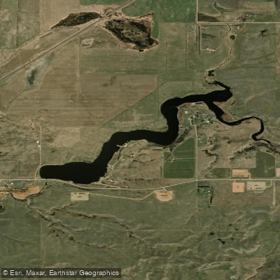
Epping Dam
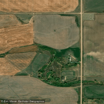
Little Muddy River
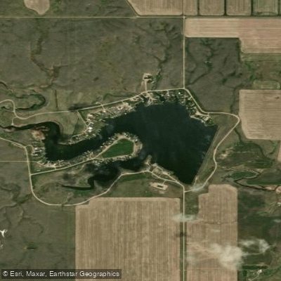
Blacktail Lake
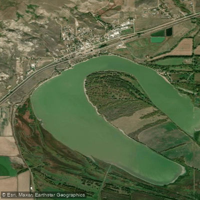
Lake Trenton
Stony Creek

Cottonwood Lake
Little Missouri River
Explore North Dakota waters
Top paddling waters
Popular Cities
Loading popular cities...
Explore near White Earth River
Access points
Nearby waters
More in North Dakota

Smarter Paddling Starts in the App.
Paddleways gives you everything you need to plan smarter, paddle better, and own every trip from first launch to takeout.