Sandusky River
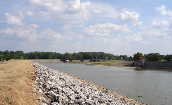
Sandusky River
- Boat Ramps
- 22
- Access Points
- 28
- Campsites
- 3
The Sandusky River is a scenic waterway in northwestern Ohio, flowing approximately 133 miles northward from its headwaters near Bucyrus to empty into Sandusky Bay on Lake Erie. As Ohio's second designated state scenic river, it offers diverse paddling opportunities through picturesque rural landscapes. The river's character changes along its course, with the upper sections featuring a shallow, rocky bed that provides engaging Class I-II paddling. Below Tiffin, the river gains volume and picks up speed, creating more challenging Class II-III rapids in some sections. The 65-mile stretch from Upper Sandusky to Fremont, designated as a state scenic river in 1970, is particularly popular for paddling trips.
Notable paddling sections include: - Upper Sandusky to Fremont (65 miles, Class I-II) - Milldam in Tiffin to County Road 38 (3.5 miles, Class II-III) - Tinkers Dam to Wolf Creek Park in Fremont (25 miles, Class II) - Ballville Dam to River Cliff Golf Course (0.3 miles, Class II-III)
The river is best paddled in spring and early summer when water levels are higher. Late summer and fall can see low water conditions in some sections. The Sandusky River watershed supports diverse wildlife, including various fish species, making it popular for fishing as well as paddling.
Key landmarks include the historic Parker Covered Bridge north of Upper Sandusky, a 172-foot Howe truss span that may require portaging depending on water levels. The Ballville Dam in Fremont, recently removed, has altered the river's character in that area, improving fish passage and creating new paddling opportunities.
Major access points include Harrison Smith Park in Upper Sandusky, various locations in Tiffin, and Wolf Creek Park in Fremont. These towns also serve as convenient resupply points for multi-day trips.
The Sandusky River played a significant role in the region's history, serving as an important transportation route for Native Americans and early settlers. Today, it continues to be a vital resource for recreation and wildlife.
Paddlers should be aware of potential hazards such as low-head dams, strainers, and varying water levels. It's advisable to check current conditions and water levels before embarking on a trip. The river's proximity to urban areas in some sections also necessitates awareness of water quality issues after heavy rains.
For those seeking a longer adventure, the full 65-mile scenic river designation provides an excellent multi-day trip option, with several campgrounds and access points along the way. This journey offers a comprehensive experience of the Sandusky River's diverse character and the surrounding Ohio landscape.
Water access, boat ramps & amenities
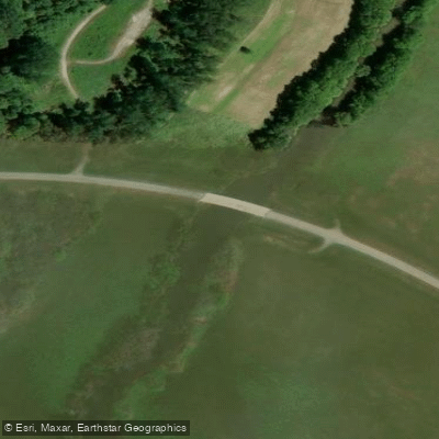
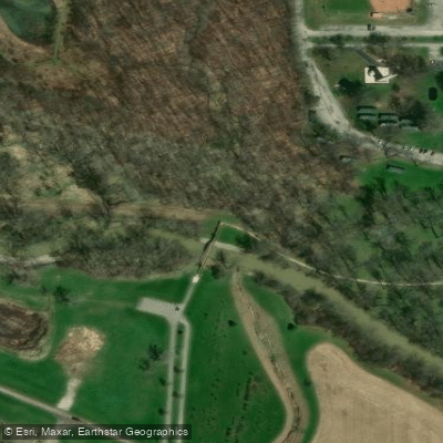
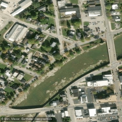
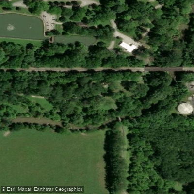
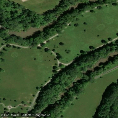
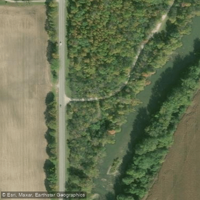
Learn how to get on Sandusky River. Uncover great paddling access points, boat ramps, and all the facilities you need for an unforgettable day on the water. Some locations shown may border or include private property. Always check property boundaries and applicable regulations before visiting. PaddleWays's Public & Private Land layer can help you plan your access with confidence.
Paddle smarter with real-time insights
Whether you're en route and conditions shift or you're looking for the best spot based on current flows, we enable you to make informed decisions on the fly.








Find Places to Paddle

Over 400,000 Places to Paddle
Every user gets free access to launch points, boat ramps, and public property parcels.


Water and weather conditions (10 day forecast)
See the best times to paddle Sandusky River and check the forecast before you go.
Sandusky River near Upper Sandusky OH
All Flow Stations
Paddling near Sandusky River
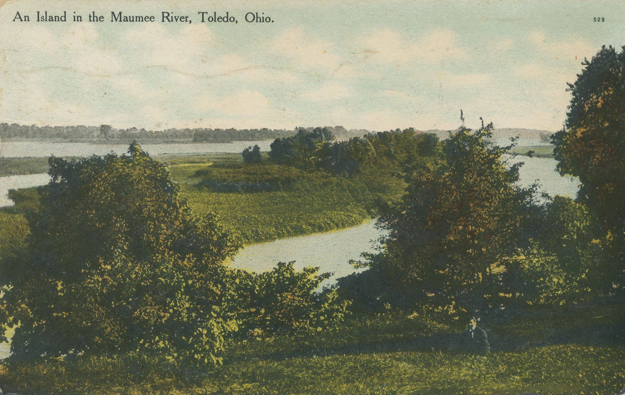
Maumee River
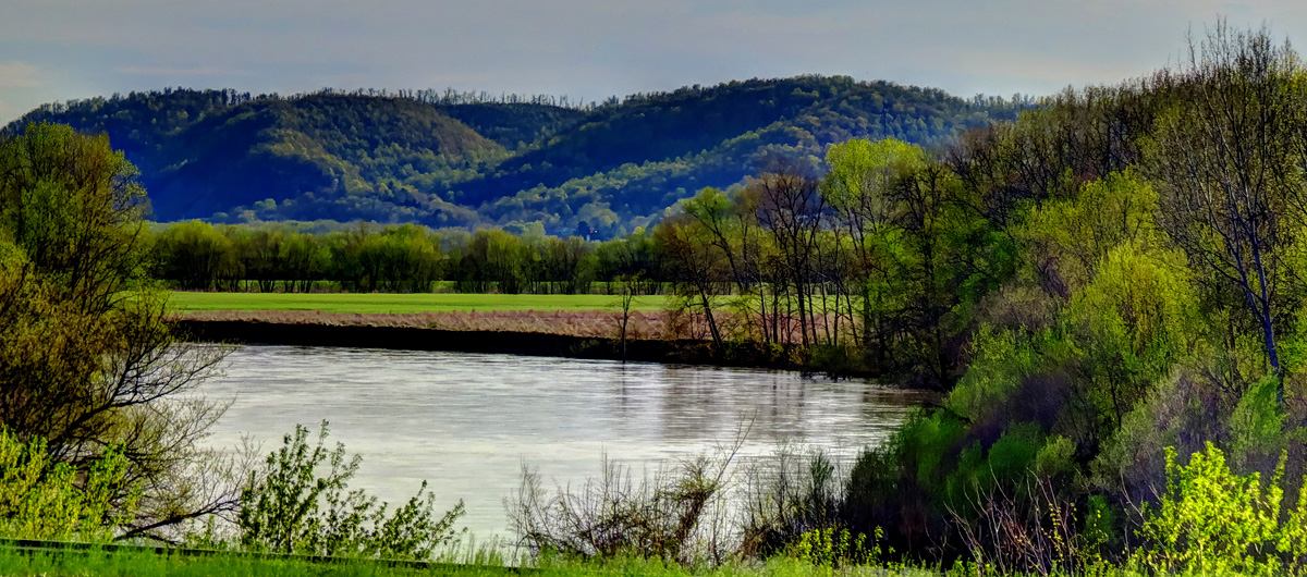
Scioto River
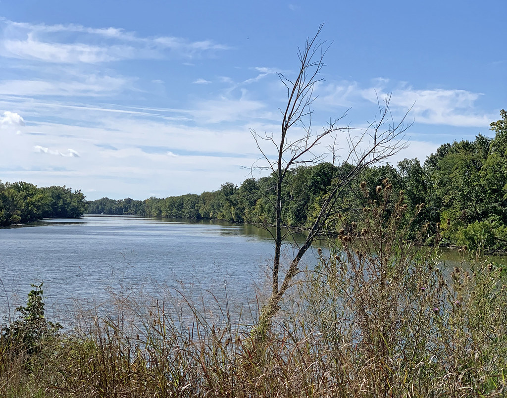
Auglaize River
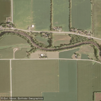
Portage River

Lake Erie
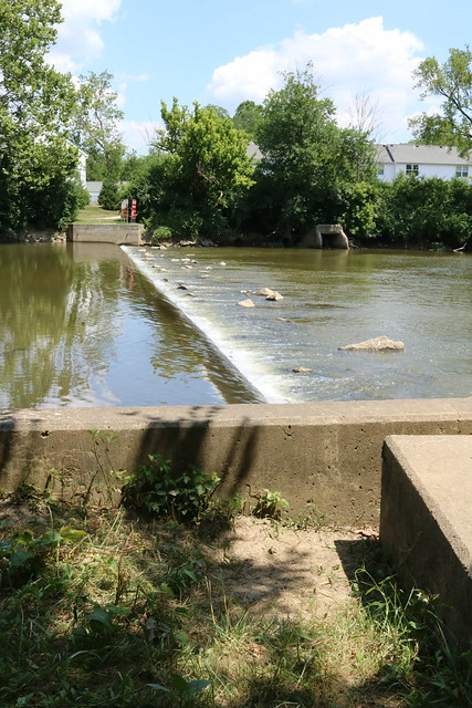
Olentangy River
Van Buren Lake
Findlay Reservoir
Blanchard River
Explore Ohio waters
Top paddling waters
Popular Cities
Loading popular cities...
Explore near Sandusky River
Access points
Nearby waters
More in Ohio

Smarter Paddling Starts in the App.
Paddleways gives you everything you need to plan smarter, paddle better, and own every trip from first launch to takeout.