Curated by PaddleWays
RouteFlatwater
- Distance
- 2.4 mi
- Paddle time
- ~1 hr
- Put-in → take-out
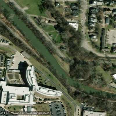
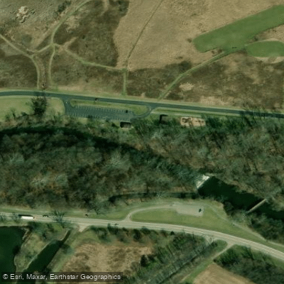
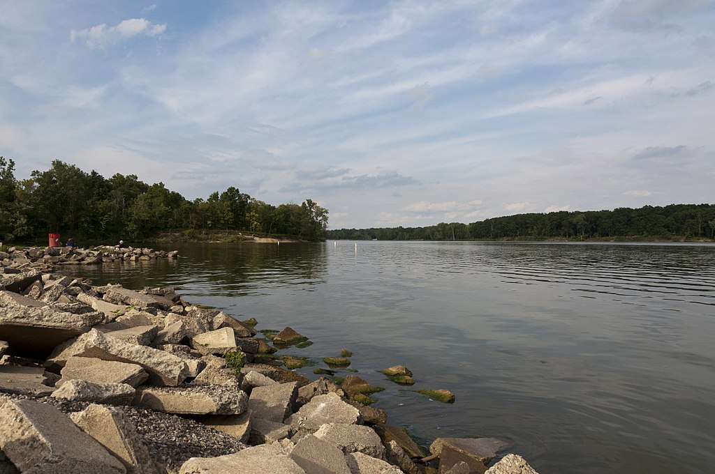
- Buck Creek State Park Canoe Launch → Buck Creek Canoe Launch
Occasional lake drawdowns affect water levels
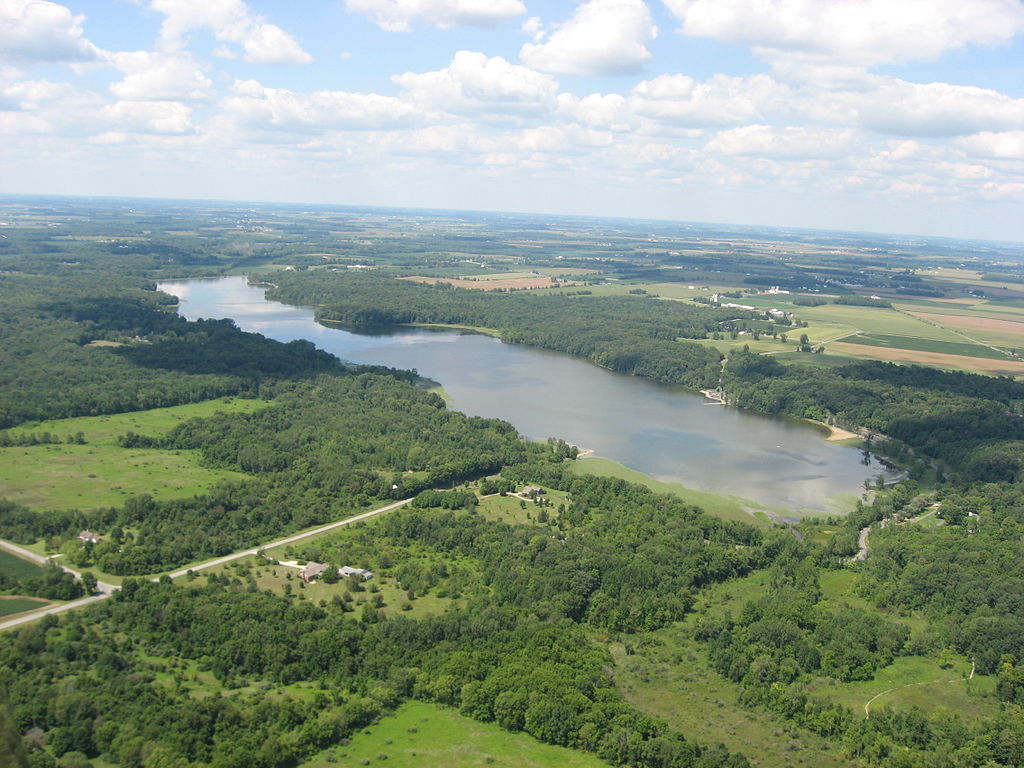
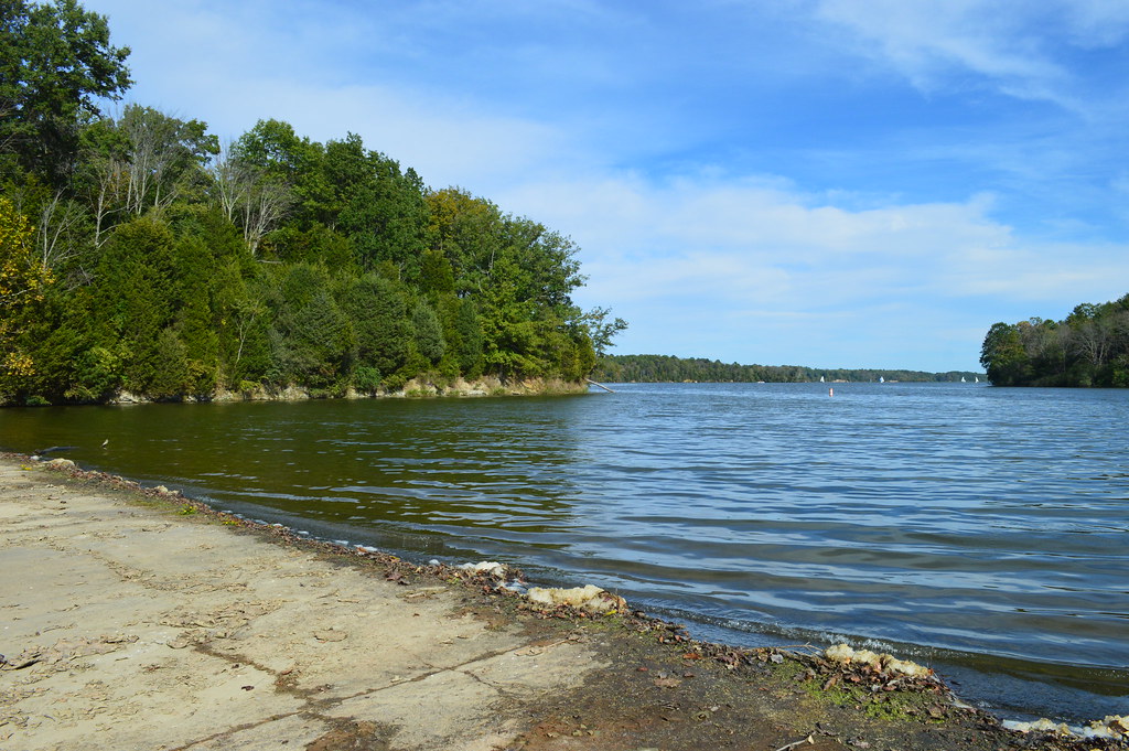
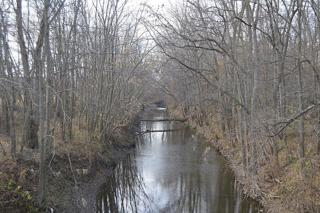
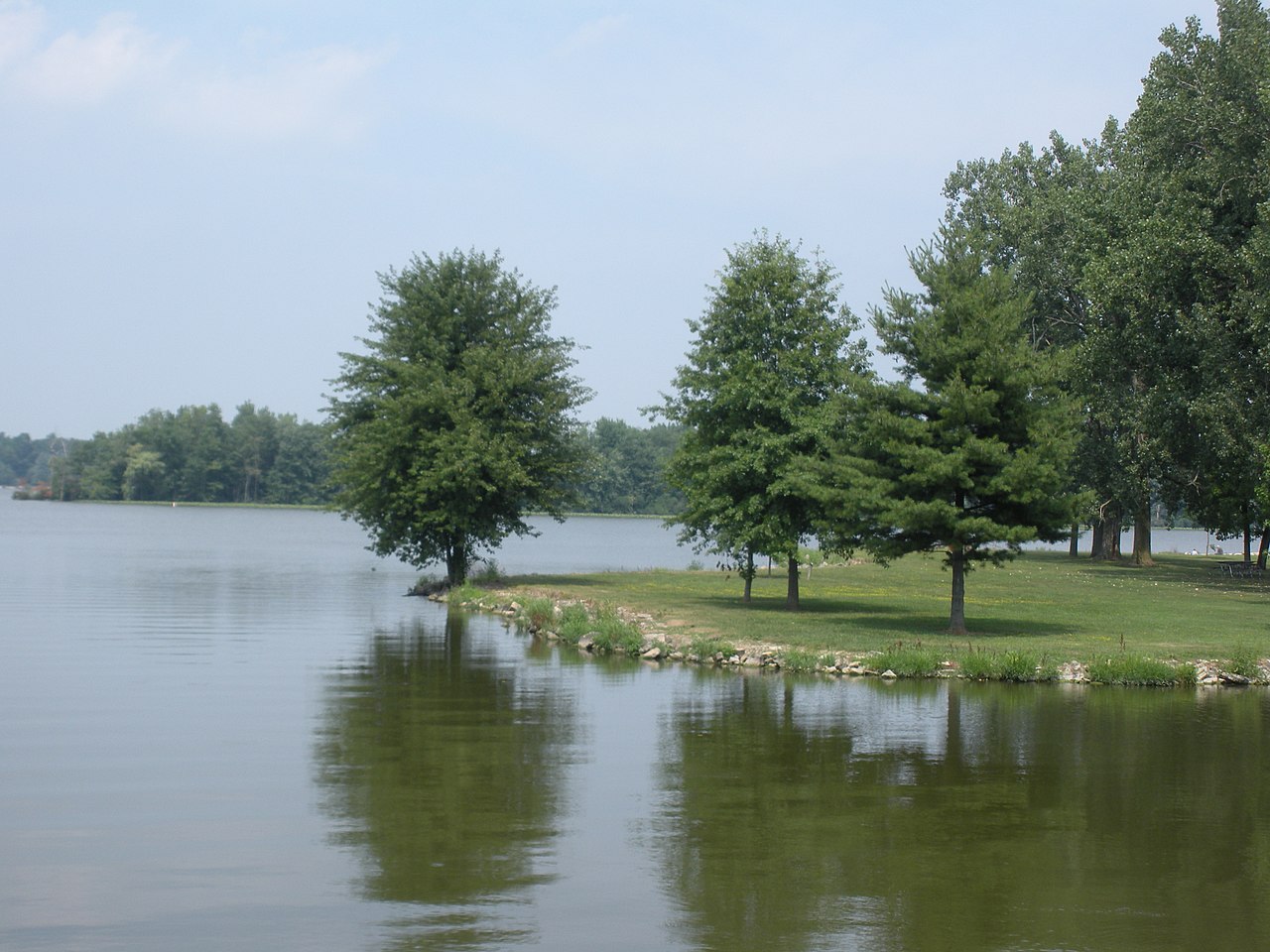
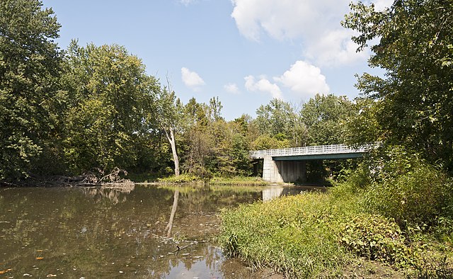
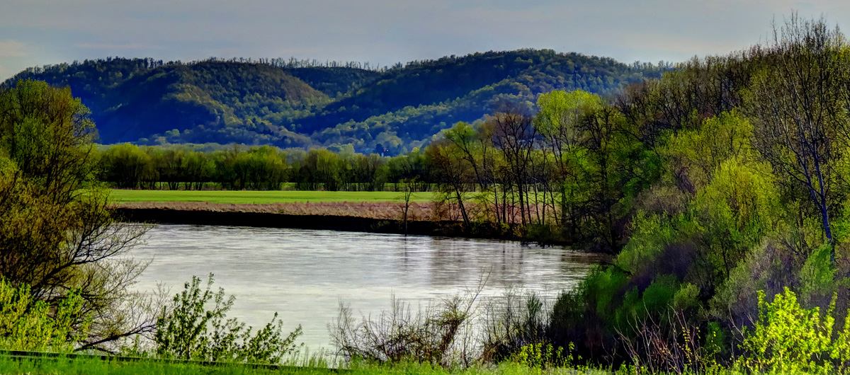
Buck Creek originates in the northern reaches of Champaign County, Ohio, flowing southwestward through agricultural lands and wetlands before entering Clark County. The creek passes through Buck Creek State Park, where the C.J. Brown Reservoir creates a significant impoundment, before continuing its journey through Springfield and eventually joining the Mad River west of the city. This tributary system drains approximately 141 square miles and exhibits characteristics of both a spring-fed stream in its upper reaches and a more substantial waterway below the reservoir.
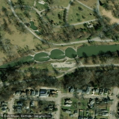
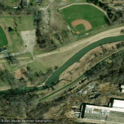
Paddling opportunities on Buck Creek concentrate in two distinct areas. The upper section from the C.J. Brown Dam downstream offers approximately 6 miles of paddling through Buck Creek State Park to Springfield's Municipal Stadium. This stretch features the Prairie View Recreation Area as a primary put-in point, with the creek flowing through a mix of natural and channelized sections. The most notable paddling destination is the Buck Creek Whitewater Park in downtown Springfield, where engineered features create Class I-II+ rapids suitable for kayakers and canoeists. Multiple drops and play features exist between Carleton Davidson Stadium and Snyder Park, including the natural limestone ledge section near river mile 5.2. Paddlers should possess intermediate skills for the whitewater sections, particularly during higher water releases.
The U.S. Army Corps of Engineers provides weekend recreational releases from C.J. Brown Dam during fall months (mid-September through November), creating optimal conditions for whitewater enthusiasts. Spring runoff also provides adequate flows, though conditions can be unpredictable.
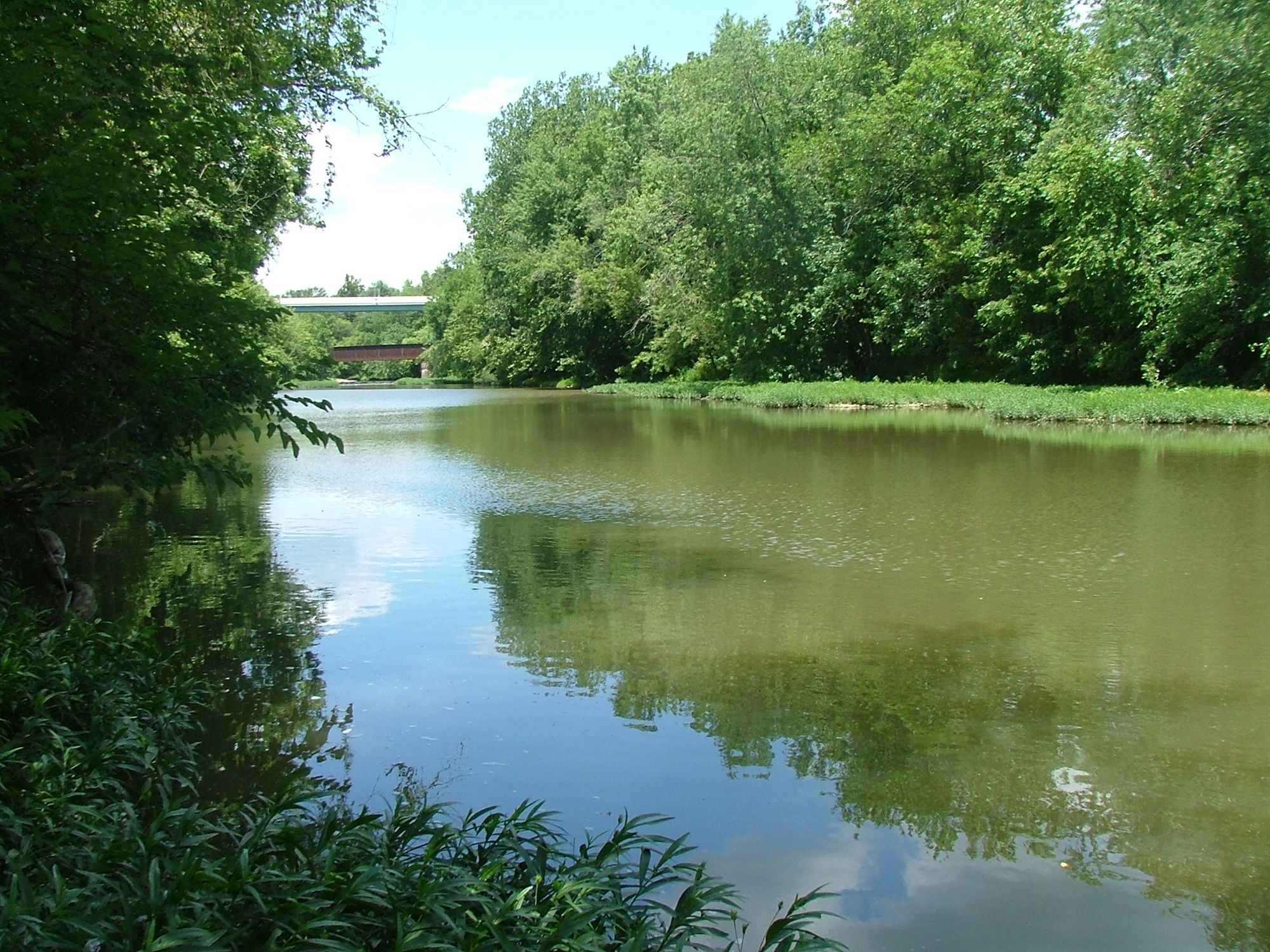
The creek corridor supports diverse wildlife including great blue herons, painted turtles, and white-tailed deer. Riparian vegetation transitions from forested wetlands in Champaign County to more urban parkland settings in Springfield. The channelized sections near Springfield contrast with more natural meandering stretches in rural areas.
Springfield serves as the primary access hub, with multiple entry points at Buck Creek State Park, Old Reid Park, Veterans Park, and Snyder Park. The National Trails Parks and Recreation District maintains much of the urban corridor, providing developed access and amenities.
Historically, Buck Creek's name derives from the abundant deer that once populated the watershed. The creek played a role in Springfield's industrial development, though periodic flooding prompted the construction of C.J. Brown Dam in the 1970s for flood control.
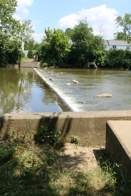
Safety considerations include monitoring water releases from the dam, avoiding low-head dams (several exist in Springfield), and being aware of combined sewer overflows that can impact water quality during heavy rainfall. Fishing requires an Ohio license, and hunting is permitted by lottery in designated areas of Buck Creek State Park.
Curated routes
Hand-picked by the PaddleWays team, with put-ins, take-outs, paddle times and the hazards along the way.
RouteFlatwater
RouteClass II–III
Hazards
No paddler has reported a hazard here yet, so these are the dams, falls and big rapids on our map. Hazards change with flows and storms, so check them before you launch.
From the community
Real trips from PaddleWays paddlers: which route they ran, how the flows were, and what to watch for.
Loading trip reports
Alex H.
Boat launch to old lower valley
See exactly where the public can get on and off the river. Launch points and boat ramps are paired with PaddleWays' public land data so you know where you can legally land.
Public shoreline
37%of the river's shoreline is public
Most of the riverbank is private. Launch, land and camp only at public access points.
Flows, weather and a route-by-route verdict, so you know which stretch of the Buck Creek is worth paddling today.
Live flows, marked hazards and fresh trip reports from paddlers who were just on the water, all in one place.





Every user gets free access to launch points, boat ramps, and public property parcels.
Loading popular cities...
PaddleWays gives you everything you need to plan smarter, paddle better, and own every trip from first launch to takeout.