Stillwater River
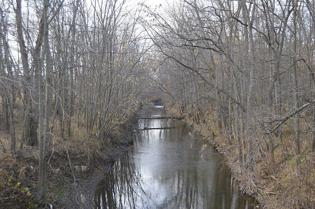
Stillwater River
- Boat Ramps
- 17
- Access Points
- 19
- Campsites
- 0
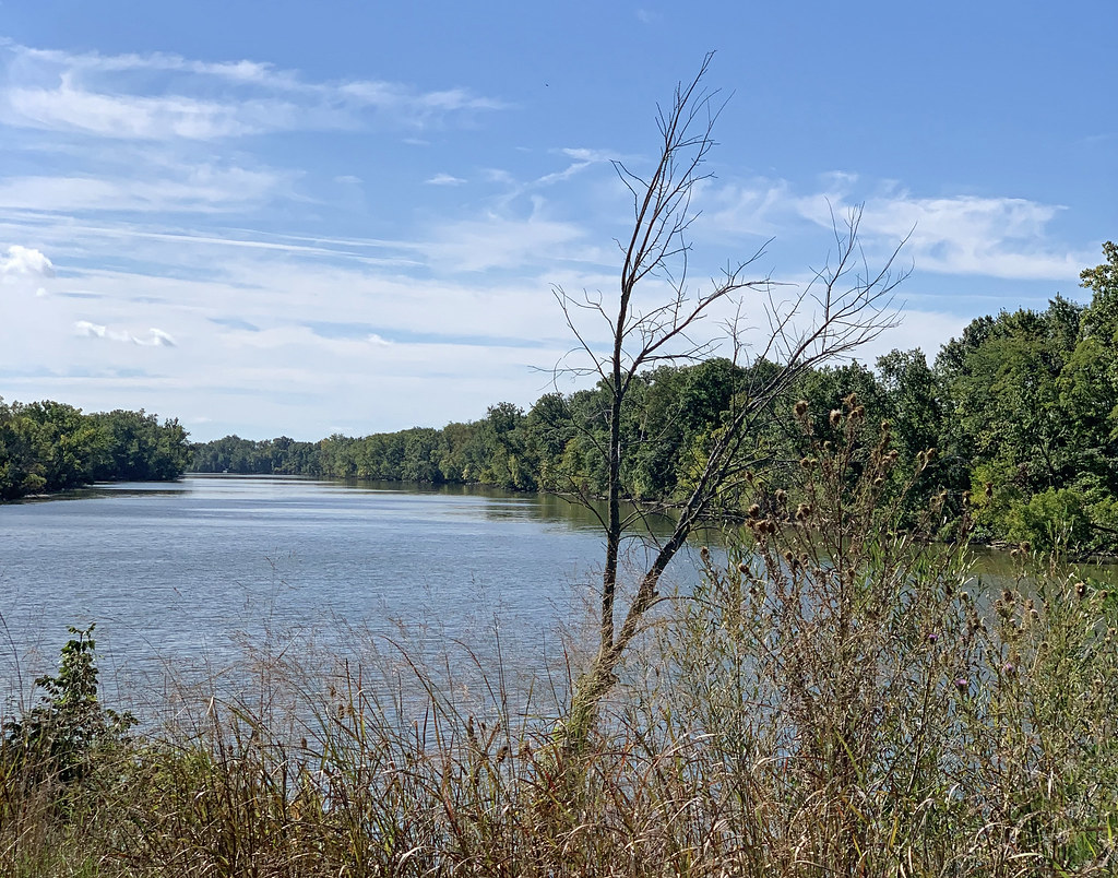
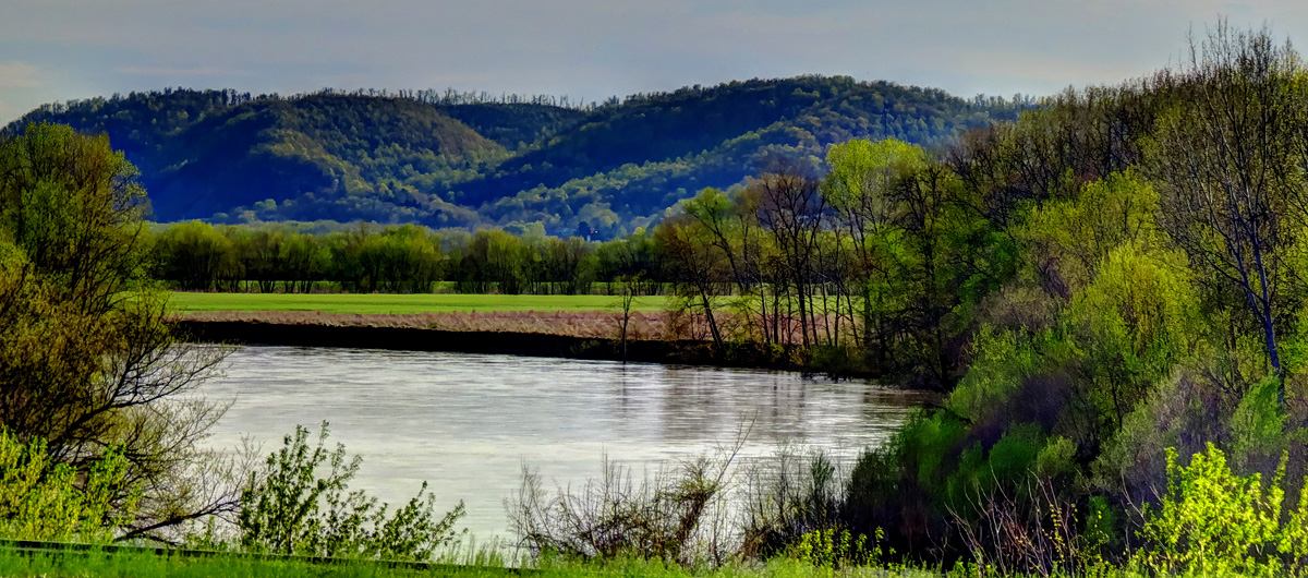
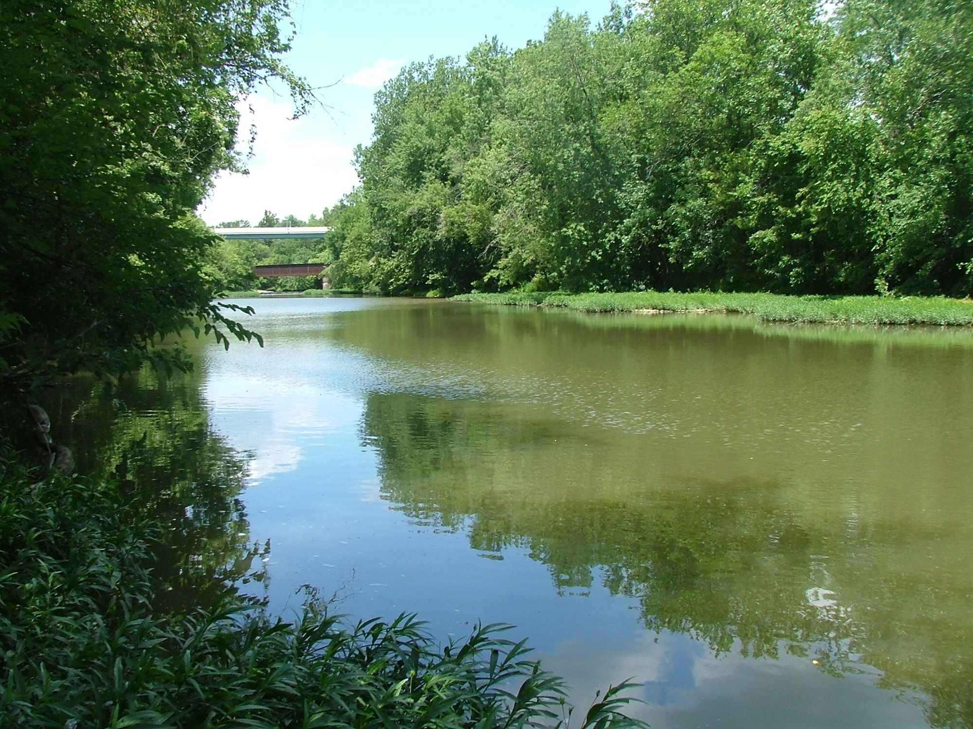
The Stillwater River, a significant waterway in western Ohio, originates in Darke County and flows southward, eventually joining the Great Miami River in Dayton. This 58-mile long river is a key part of the Great Miami River watershed, draining portions of Darke, Miami, and Montgomery counties. Paddlers can experience a range of conditions along the Stillwater, from placid flatwater to challenging Class II-III rapids.
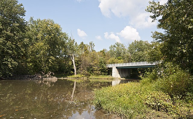
The river offers several notable sections for kayaking and canoeing, including the popular 7-Mile Drop from Goode Reserve to Maple Ridge, featuring approximately 20 rapids and scenic views of four major parks and unique bridges. For a more leisurely experience, the Barefoot Canoe Trip section near West Milton provides an easy, family-friendly float. The river's difficulty ranges from Class I to III, with some sections suitable for beginners and others demanding more experienced paddlers.
The full 58-mile Stillwater River Trail encompasses this variety, passing through diverse landscapes including glacial canyons, forests, and rural areas. Spring and early summer typically offer the best water levels for paddling, though sections like the Stillwater River Road area may require navigating around rocks or portaging during low water conditions. The river supports a rich ecosystem, with opportunities for wildlife watching throughout its course.
Key access points include the Riffle Road bridge in Darke County, West Milton, and various locations along Stillwater River Road. The river passes through or near several towns, including Versailles, Bradford, and Covington, before reaching Dayton. Designated as Ohio's 8th scenic river in 1975, the Stillwater holds significant ecological and recreational value. It forms part of a larger water trail system that collectively offers 265 miles of waterway for boating, fishing, and nature observation.
Safety considerations include checking water levels, being prepared for potential portages, and obtaining necessary permissions for put-ins and take-outs. Some access points, like Stillwater Beach Campground, may require fees. For those seeking a multi-day adventure, the full 58-mile trail can be divided into shorter segments, allowing paddlers to explore the river's changing character from its upper reaches to its confluence with the Great Miami River. This extended journey showcases the Stillwater's role as a vital artery in western Ohio's natural and cultural landscape.
Water access, boat ramps & amenities
Learn how to get on Stillwater River. Uncover great paddling access points, boat ramps, and all the facilities you need for an unforgettable day on the water. Some locations shown may border or include private property. Always check property boundaries and applicable regulations before visiting. PaddleWays's Public & Private Land layer can help you plan your access with confidence.
Paddle smarter with real-time insights
Whether you're en route and conditions shift or you're looking for the best spot based on current flows, we enable you to make informed decisions on the fly.








Find Places to Paddle

Over 400,000 Places to Paddle
Every user gets free access to launch points, boat ramps, and public property parcels.


Water and weather conditions (10 day forecast)
See the best times to paddle Stillwater River and check the forecast before you go.
Stillwater River at Pleasant Hill OH
All Flow Stations
Paddling near Stillwater River
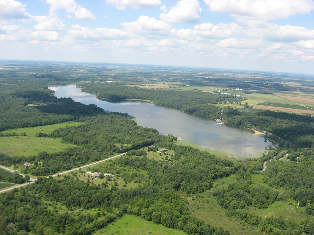

Explore Ohio waters
Top paddling waters
Popular Cities
Loading popular cities...
Explore near Stillwater River
Access points
- Stillwater River Canoe Launch
- Stillwater River Hand Boat Launch
- Stillwater River Canoe Launch
- Stillwater River Canoe Launch
- Stillwater River Canoe Launch
- Stillwater River Canoe Launch
- Stillwater River Canoe Launch
- Stillwater River Canoe Launch
- Stillwater River Canoe Launch
- Triangle Park Boat Ramp
- Stillwater River Hand Boat Launch
- Stillwater River Canoe Launch
- All 219 spots
Nearby waters
More in Ohio

Smarter Paddling Starts in the App.
Paddleways gives you everything you need to plan smarter, paddle better, and own every trip from first launch to takeout.