Curated by PaddleWays
RouteFlatwater
- Distance
- 5.5 mi
- Paddle time
- ~2 hrs
- Best for
- Kayak
- Put-in → take-out
- Clear Creek Metro Park → Hocking River Access
Creek may need portaging when low
Clear Creek originates in the glaciated plains of eastern Fairfield County, Ohio, flowing southeastward through a dramatic landscape transition before joining the Hocking River near Rockbridge in Hocking County. The creek's 22-mile journey takes paddlers from agricultural lowlands through one of Ohio's most spectacular gorges, where the stream has carved through Black Hand sandstone to create sheer cliffs rising nearly 200 feet above the water. The creek flows through Clear Creek Metro Park and the adjacent Allen F. Beck State Nature Preserve—Ohio's largest state nature preserve at 4,729 acres.
This protected corridor harbors exceptional biodiversity, with over 2,200 documented plant and animal species. The forested valley supports Canadian hemlock groves, mountain laurel, great rhododendron (one of Ohio's last remaining native colonies), and trailing arbutus. Birdwatchers may encounter 18 warbler species that nest in the valley, along with black vultures, great blue herons, and eastern bluebirds.
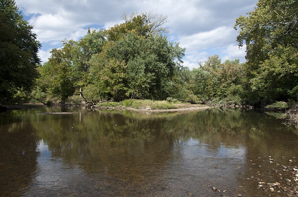
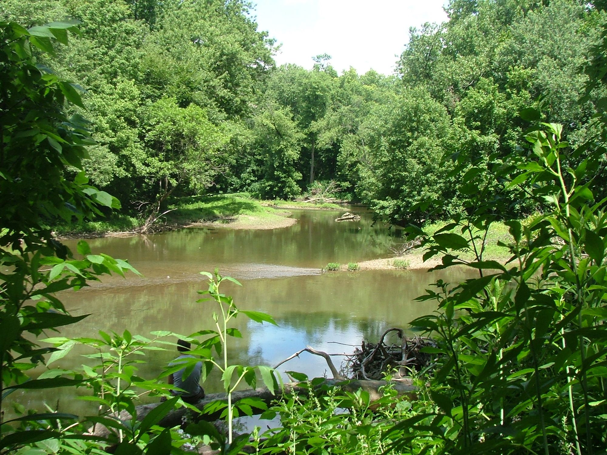
Paddling opportunities exist primarily in the lower reaches during periods of adequate flow, typically spring through early summer. The creek is generally shallow with a mix of bedrock, gravel, and sand substrate. Water quality remains notably clear even at depth, reflecting the creek's name. Paddlers should expect technical maneuvering around rocks and occasional logjams, particularly near the Pretty Run Road bridge. The gradient creates riffles and small rapids suitable for intermediate paddlers, though some sections may require portaging during low water.
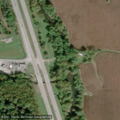
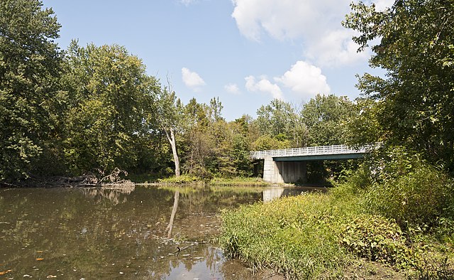
Access points include locations along Clear Creek Road in Hocking County, with the most developed facilities at Clear Creek Metro Park headquarters near Starner House and Written Rock. The creek passes under several road crossings including State Route 188, State Route 159, and Pretty Run Road, offering additional put-in and take-out options. Lancaster (Fairfield County) and Logan (Hocking County) serve as the nearest towns for supplies and services.
Historically, Clear Creek marked the intersection of two major Native American trails: the Belpre Trail (east-west) and the Standing Stone Trail (north-south). Written Rock, near the park headquarters, features ancient petroglyphs. The valley's reversal by glacial activity 10,000-12,000 years ago created the present gorge system, making it one of only three such reversed streams in southeastern Ohio.
Fishing is permitted with valid Ohio licenses at designated access points. The creek supports smallmouth bass, rock bass, and stocked brown trout. Anglers should note that trout stocking occurs annually around October.
Safety considerations include respecting private property boundaries, avoiding off-trail activity within the nature preserve, and checking water levels before paddling. The creek can rise rapidly after heavy rainfall, creating hazardous conditions. No motorized watercraft are permitted.
Curated routes
Hand-picked by the PaddleWays team, with put-ins, take-outs, paddle times and the hazards along the way.
RouteFlatwater
Hazards
No hazards are marked on Clear Creek yet. That is not the same as none being there: if you find one, report it for the next paddler.
From the community
Nobody has shared a trip on Clear Creek yet. Paddle it, then tell the next paddler how it went.
See exactly where the public can get on and off the river. Launch points and boat ramps are paired with PaddleWays' public land data so you know where you can legally land.
Public shoreline
2%of the river's shoreline is public
Most of the riverbank is private. Launch, land and camp only at public access points.
Flows, weather and a route-by-route verdict, so you know which stretch of the Clear Creek is worth paddling today.
Live flows, marked hazards and fresh trip reports from paddlers who were just on the water, all in one place.





Every user gets free access to launch points, boat ramps, and public property parcels.
Loading popular cities...
PaddleWays gives you everything you need to plan smarter, paddle better, and own every trip from first launch to takeout.