Curated by PaddleWays
RouteClass I–II
- Distance
- 1.9 mi
- Paddle time
- ~0.5 hrs
- Best for
- Kayak
- Put-in → take-out
- Indian Mound Metropark Access → Conneaut Creek Boat Ramp
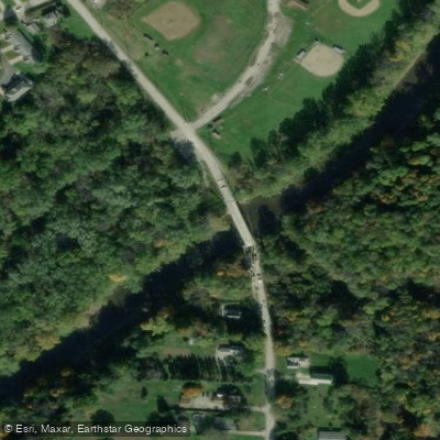
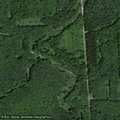
Broken weir dam at Old Main Road
Conneaut Creek is a scenic waterway that originates in western Pennsylvania and flows westward into Ohio before emptying into Lake Erie at Conneaut, Ohio. The creek spans approximately 57 miles in total length, with 24 miles flowing through Ohio. Its watershed covers about 190 square miles, including 40 square miles in Ohio. The creek offers excellent paddling opportunities, particularly in its lower reaches. A 21-mile stretch from the Ohio-Pennsylvania border to the former Penn Central Railroad bridge in Conneaut was designated as an Ohio State Wild and Scenic River in 2005, highlighting its natural beauty and ecological importance.
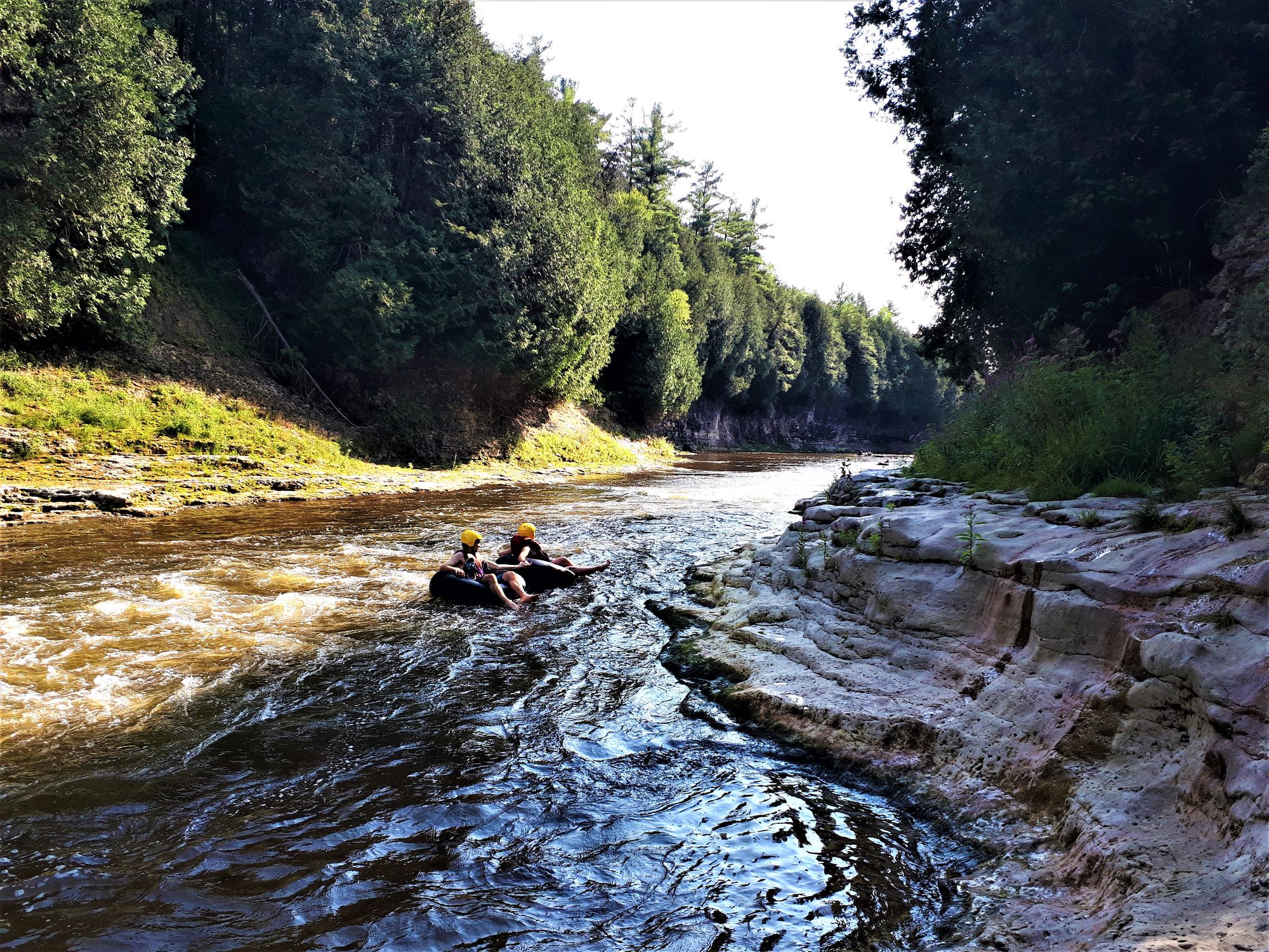
Paddlers can expect mostly Class I and II rapids, making it suitable for beginner to intermediate skill levels. The creek features a mix of calm stretches and mild rapids, with several broken weir dams that can be navigated via center chutes or portaged. Popular put-in locations include McKee Road and Middle Road in Pennsylvania, and State Road in Ohio. Common take-out points are at Creek Road or Center Street in Conneaut. Spring and early summer typically offer the best water levels for paddling, though the creek can be challenging to catch at optimal levels. Late summer and fall may have lower water levels but can still be enjoyable for experienced paddlers.
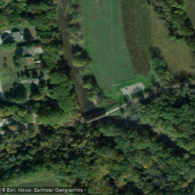
The creek's ecosystem supports a diverse array of wildlife. Its wooded banks are lined with hardwoods and conifers, providing habitat for various bird species. The waterway is also known for its fish populations, making it popular among anglers. Key landmarks include several covered bridges, such as those on State Road and Creek Road. The creek flows through a mix of rural and urban landscapes, offering paddlers a varied scenery as they progress downstream.
Access points are available near towns like Kingsville and Conneaut in Ohio, as well as from various bridge crossings. Conneaut Creek Float and Fly, located on Welton Road, offers kayak rentals and guided trips, making it a convenient starting point for many paddlers. Safety considerations include being aware of water levels, watching for strainers, and navigating the broken weir dams with caution. Paddlers should also be respectful of private property along the banks and obtain permission where necessary.
For those interested in multi-day trips, the creek offers potential for extended journeys, particularly when combining the Pennsylvania and Ohio sections. However, most paddlers typically enjoy day trips ranging from 7-10 miles in length. Conneaut Creek's designation as a Wild and Scenic River underscores its importance as a natural resource and recreational asset for both Ohio and Pennsylvania, offering paddlers a chance to experience a beautiful and relatively unspoiled waterway.
Curated routes
Hand-picked by the PaddleWays team, with put-ins, take-outs, paddle times and the hazards along the way.
RouteClass I–II
Hazards
No paddler has reported a hazard here yet, so these are the dams, falls and big rapids on our map. Hazards change with flows and storms, so check them before you launch.
From the community
Nobody has shared a trip on Conneaut Creek yet. Paddle it, then tell the next paddler how it went.
See exactly where the public can get on and off the river. Launch points and boat ramps are paired with PaddleWays' public land data so you know where you can legally land.
Public shoreline
4%of the river's shoreline is public
Most of the riverbank is private. Launch, land and camp only at public access points.
Flows, weather and a route-by-route verdict, so you know which stretch of the Conneaut Creek is worth paddling today.
All Flow Stations
Live flows, marked hazards and fresh trip reports from paddlers who were just on the water, all in one place.





Every user gets free access to launch points, boat ramps, and public property parcels.

Loading popular cities...
PaddleWays gives you everything you need to plan smarter, paddle better, and own every trip from first launch to takeout.