Ashtabula River
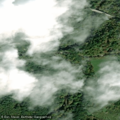
Ashtabula River
- Boat Ramps
- 8
- Access Points
- 13
- Campsites
- 1
The Ashtabula River is a scenic waterway in northeast Ohio that flows northward for approximately 40 miles before emptying into Lake Erie at Ashtabula Harbor. Originating in rural Ashtabula County, the river winds through a mix of farmland, forests, and small communities before reaching the city of Ashtabula.
Paddlers can enjoy several distinct sections of the Ashtabula River, ranging from peaceful flatwater to more challenging Class II rapids. The upper section from Kelloggsville to Ashtabula offers a 4.3-mile stretch of Class II whitewater, featuring small ledges and wave trains. The middle section from Benetka Road to Dewey Road provides a scenic 5-7 mile run with a mix of flatwater and mild rapids, including two small waterfalls near the Dewey Road covered bridge. The lower section and harbor area offer calm flatwater paddling ideal for beginners and casual exploration.
The river's difficulty ranges from flatwater to Class II, making it suitable for paddlers of various skill levels. Spring and early summer typically offer the best water levels for the upper sections, while the lower river and harbor can be paddled year-round when ice-free.
Wildlife enthusiasts may spot bald eagles, osprey, and even mink along the river's banks. The watershed supports diverse plant life, including water lilies in calmer sections.
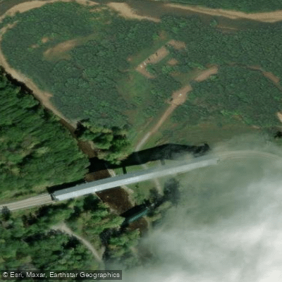
Notable landmarks include several historic covered bridges, the Ashtabula Harbor Lift Bridge, and the Ashtabula lighthouse. Key access points include Hilldom Road near Kelloggsville, Benetka Road covered bridge, Dewey Road covered bridge, and the Ashtabula Transient Docks in the harbor area.
The Ashtabula River played a significant role in the region's industrial history, once serving as a major shipping channel. Today, it offers a blend of natural beauty and glimpses of the area's maritime heritage.
Paddlers should be aware of potential hazards like strainers and fluctuating water levels, especially in the upper sections. Life jackets are required, and checking water levels before paddling is advised. While primarily suited for day trips, adventurous paddlers could potentially string together multiple sections for a longer journey, though camping options are limited.
The river's varied character and scenic value make it a rewarding destination for Ohio paddlers.
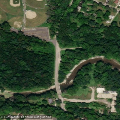
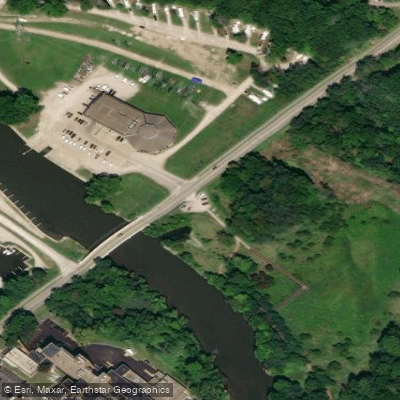
Water access, boat ramps & amenities
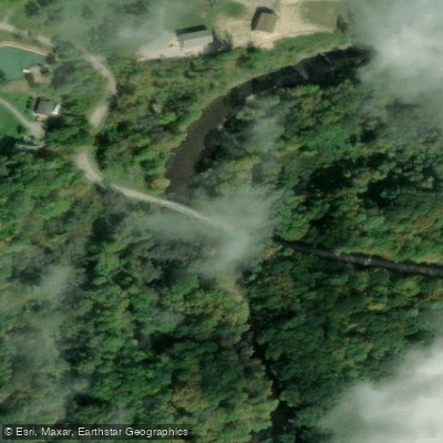
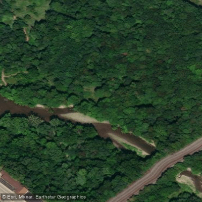
Learn how to get on Ashtabula River. Uncover great paddling access points, boat ramps, and all the facilities you need for an unforgettable day on the water. Some locations shown may border or include private property. Always check property boundaries and applicable regulations before visiting. PaddleWays's Public & Private Land layer can help you plan your access with confidence.
Paddle smarter with real-time insights
Whether you're en route and conditions shift or you're looking for the best spot based on current flows, we enable you to make informed decisions on the fly.








Find Places to Paddle

Over 400,000 Places to Paddle
Every user gets free access to launch points, boat ramps, and public property parcels.


Water and weather conditions (10 day forecast)
See the best times to paddle Ashtabula River and check the forecast before you go.
No forecast data available.
Paddling near Ashtabula River

Lake Erie
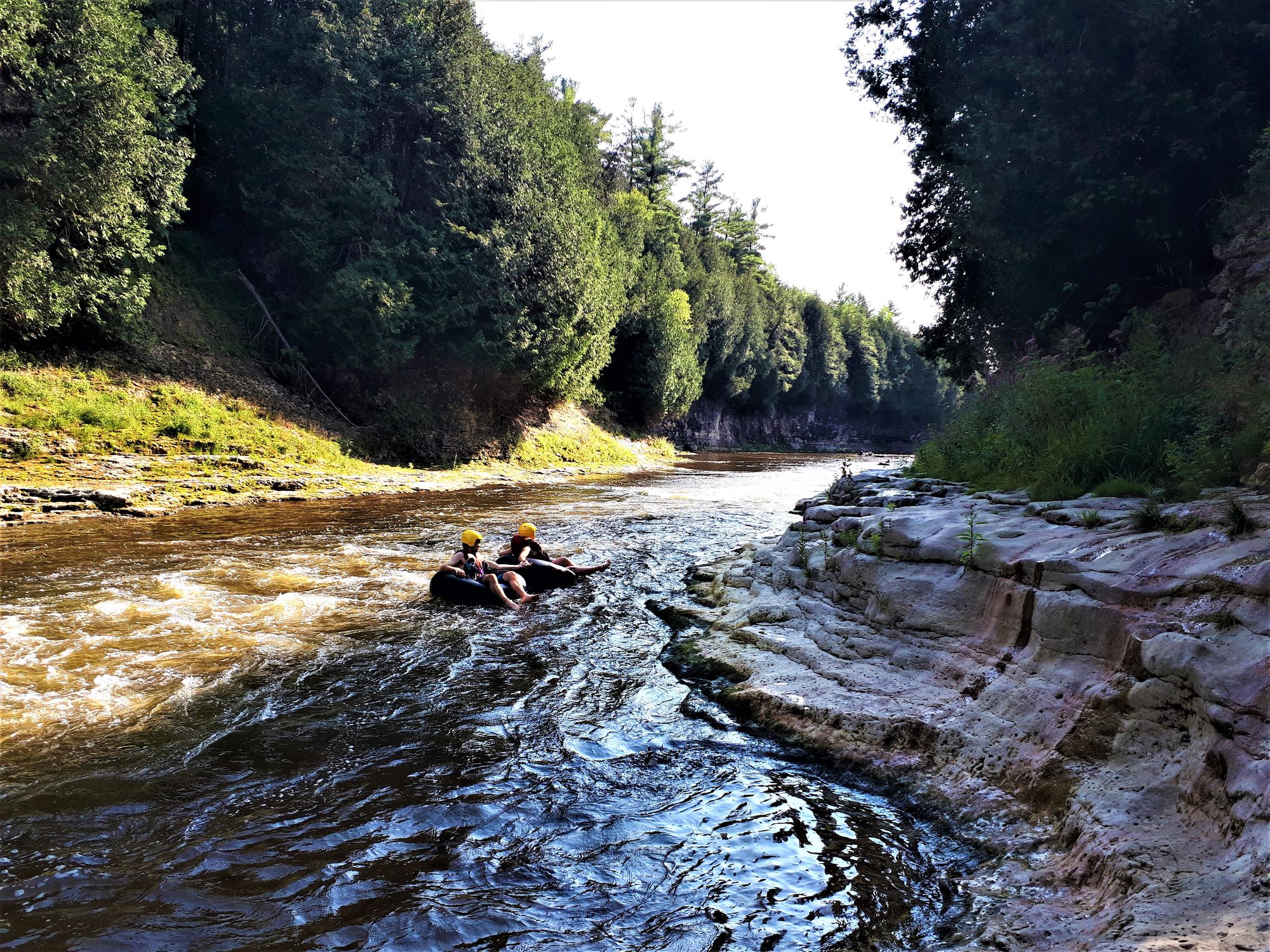
Grand River
Chagrin River
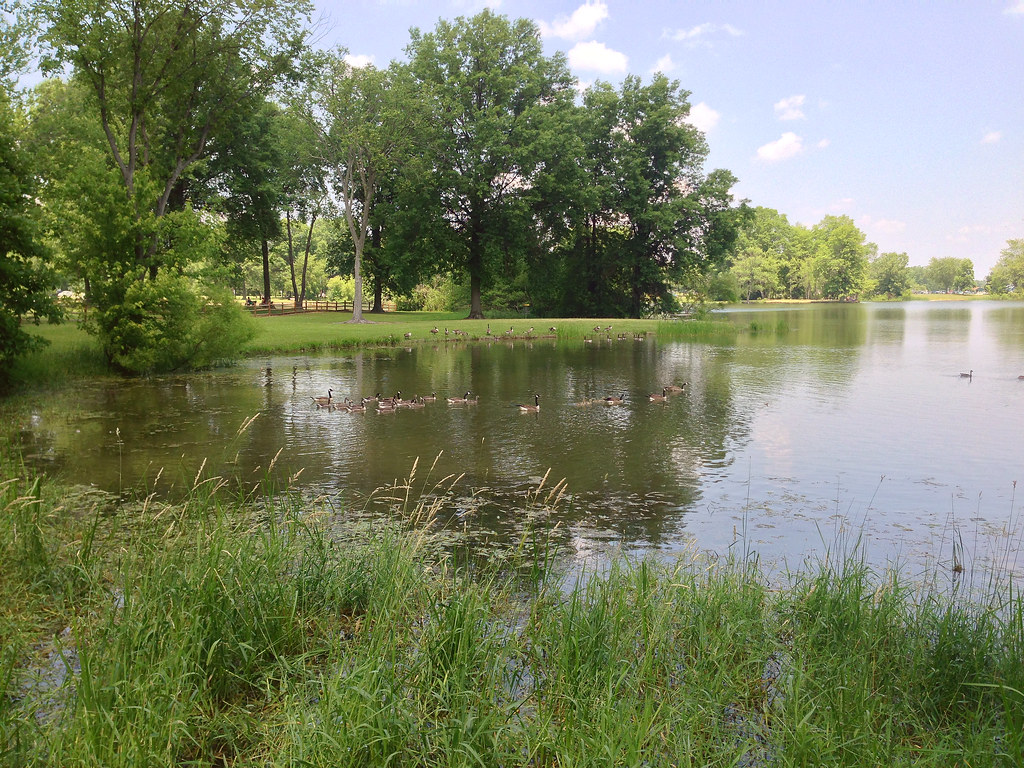
Mosquito Creek Lake
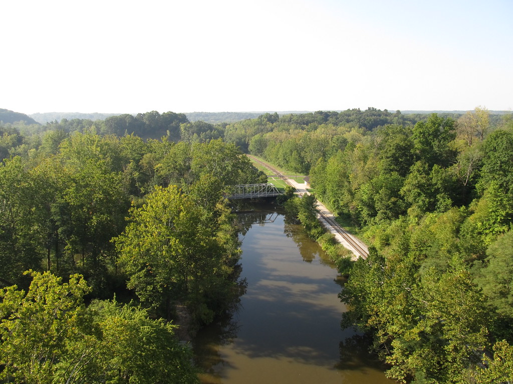
Cuyahoga River
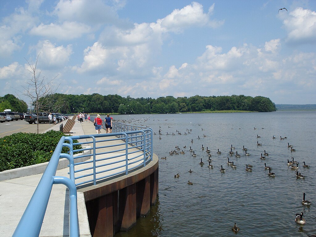
Pymatuning Reservoir
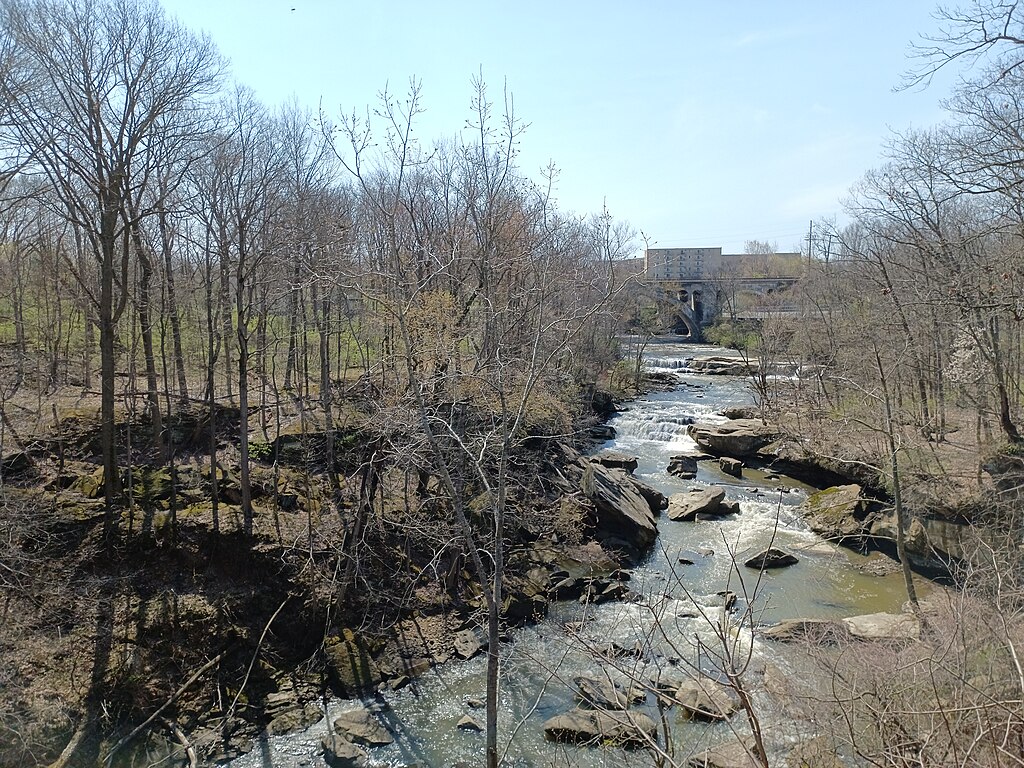
East Branch Rocky River
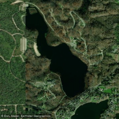
Punderson Lake
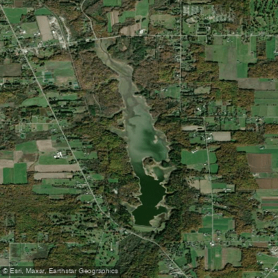
East Branch Reservoir
Explore Ohio waters
Top paddling waters
Popular Cities
Loading popular cities...
Explore near Ashtabula River
Access points
- Ashtabula River Boat Ramp
- Ashtabula River Boat Ramp
- Ashtabula River Boat Ramp
- Ashtabula River Boat Ramp
- Ashtabula River Boat Ramp
- Ashtabula River Boat Ramp
- Ashtabula River Boat Ramp
- Ashtabula Recreational Unlimited Boat Ramp
- Ashtabula River Access
- Ashtabula Access
- Indian Trails Park Access
- Cederquist Park Access
- All 61 spots
Nearby waters
More in Ohio

Smarter Paddling Starts in the App.
Paddleways gives you everything you need to plan smarter, paddle better, and own every trip from first launch to takeout.