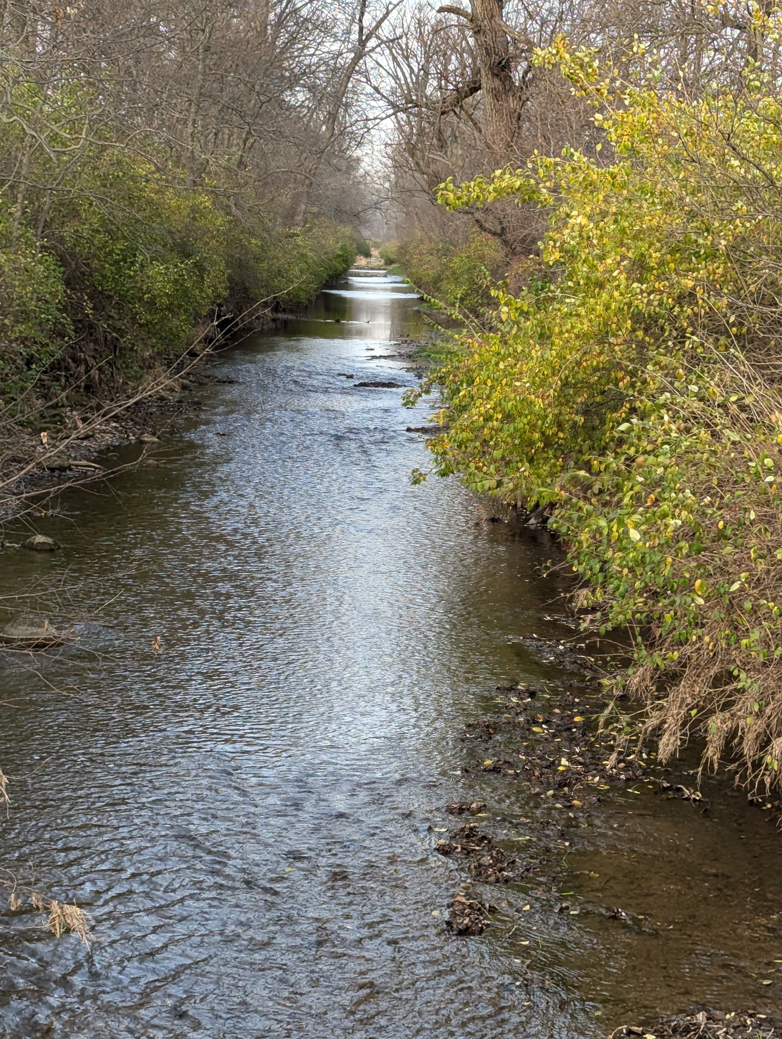
Curated by PaddleWays
RouteClass II
- Distance
- 3.3 mi
- Paddle time
- ~1 hr
- Best for
- Kayak
- Put-in → take-out
- Mad River Boat Ramp → Mad River Boat Ramp
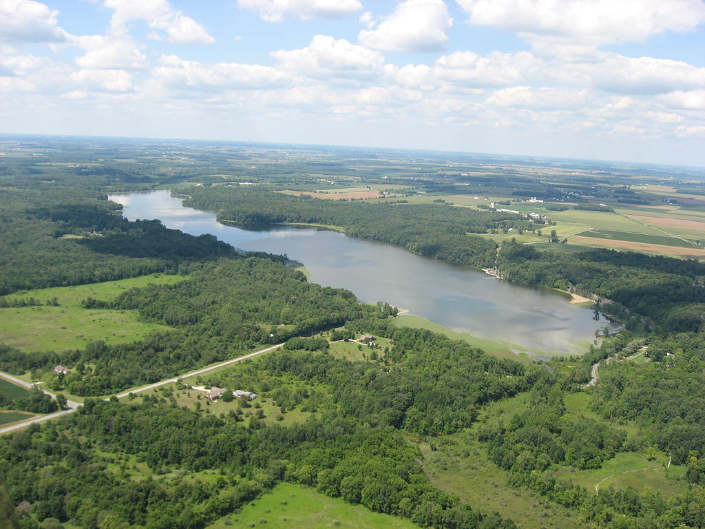
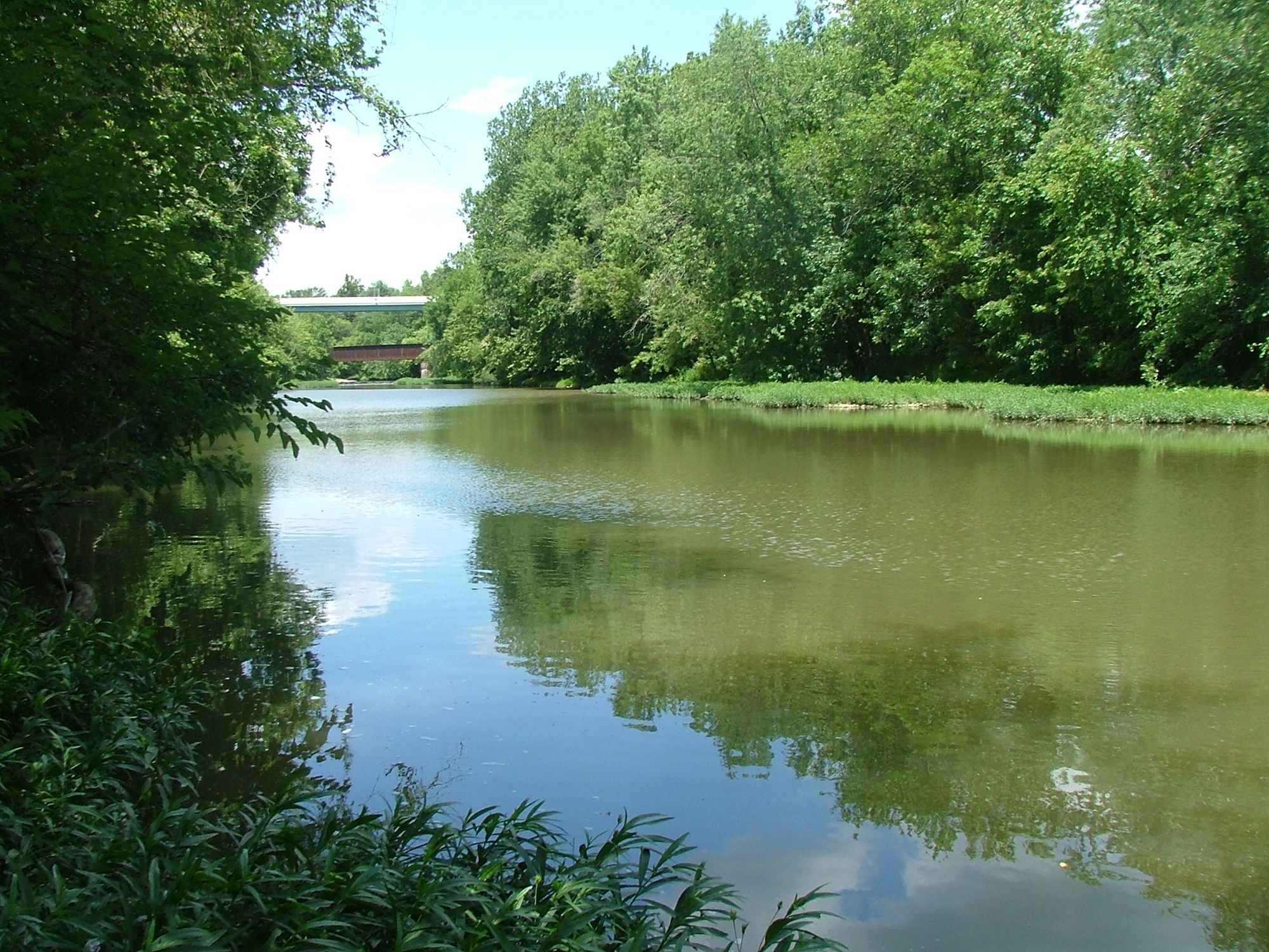
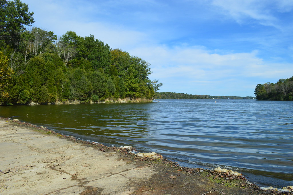
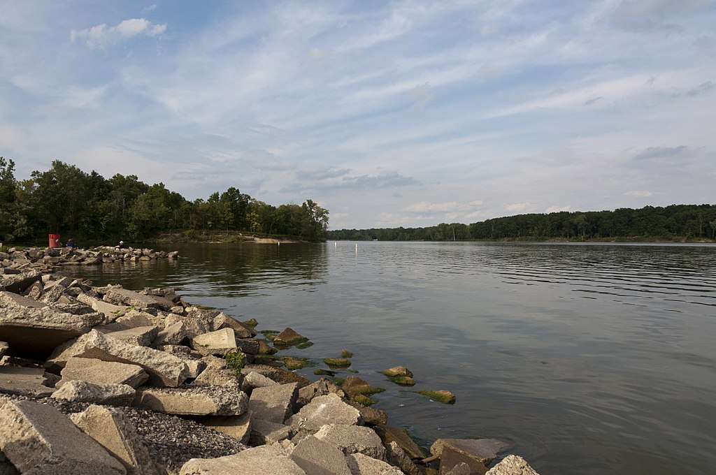
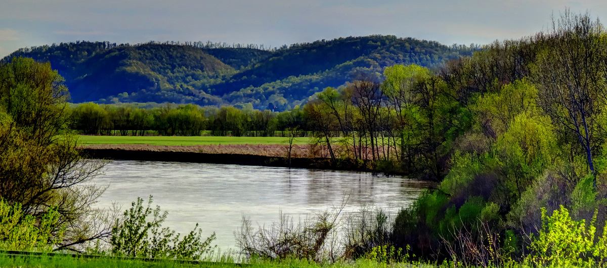
The Mad River, located in west central Ohio, is a waterway that offers paddlers a range of experiences from calm flatwater to exciting whitewater. This spring-fed river begins near West Liberty in Champaign County and flows southwest for approximately 65 miles before joining the Great Miami River in downtown Dayton. Known for its clear, cool waters and swift current, the Mad River provides year-round paddling opportunities and is one of Ohio's few trout streams.
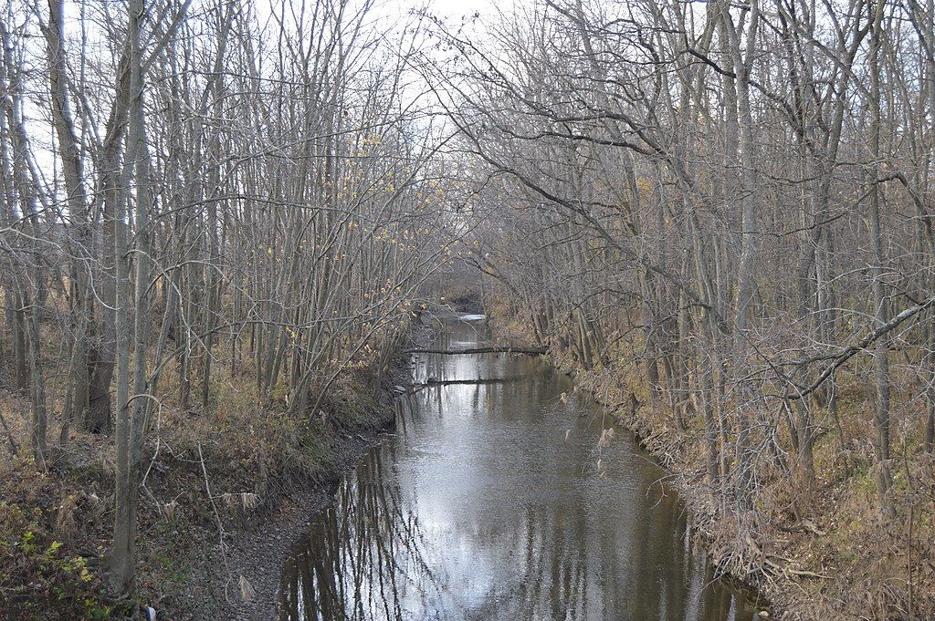
The river's character changes as it flows, offering several distinct sections for paddlers to explore. The upper reaches near West Liberty feature a mix of farmland and wooded areas with 10-15 foot banks, providing a peaceful, rural paddling experience suitable for beginners and families.
As the river approaches Springfield and Dayton, it becomes more challenging, with sections featuring Class I-III rapids. The Huffman Dam section and the Mad River Run in Eastwood MetroPark are popular spots for intermediate to advanced paddlers looking for some whitewater action. These areas offer exciting features and significant bank stabilization measures, restoring the river to a more natural state while providing recreational opportunities.
The difficulty of the Mad River ranges from flatwater to Class III, making it suitable for paddlers of all skill levels. Beginners and families can enjoy calm stretches near Springfield and West Liberty, while more experienced paddlers can test their skills on the whitewater sections closer to Dayton.
While the Mad River can be paddled year-round, spring and fall are generally considered the best seasons due to optimal water levels. Summer can be enjoyable for flatwater sections, but some rapids may become too shallow. Winter paddling is possible but requires proper cold-water gear and experience.
The river's ecosystem supports a diverse array of wildlife. Paddlers may encounter deer, various bird species, and even catch glimpses of river otters. The Mad River is also home to brown trout, smallmouth bass, and other fish species, making it a popular destination for anglers.
Notable landmarks along the Mad River include the Piatt Castles near West Liberty, the Buck Creek confluence in Springfield, and the Huffman Dam near Dayton. The river passes through or near several towns, including West Liberty, Urbana, Springfield, and Dayton, providing multiple access points for day trips or longer expeditions.
Historically, the Mad River played a crucial role in the region's development, powering mills and supporting early settlements. Today, it continues to be an important recreational and ecological resource for west central Ohio.
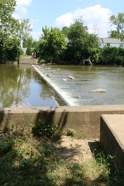
Safety considerations include being aware of water levels, which can change rapidly after heavy rains, and watching for strainers or low-head dams, particularly in less maintained sections. Paddlers should always wear life jackets and check local regulations before embarking on their journey.
For those seeking a multi-day adventure, the entire 65-mile stretch from West Liberty to Dayton can be paddled in 2-3 days, with camping available at locations like the Birch Bark Canoe Livery. Alternatively, paddlers can combine shorter sections for customized trips, such as the popular 26-mile run from Urbana to Spangler Road near I-70.
Whether you're looking for a peaceful float through Ohio's countryside or an adrenaline-pumping whitewater experience, the Mad River offers a paddling adventure for everyone, showcasing the natural beauty and recreational opportunities of the Buckeye State.
Curated routes
Hand-picked by the PaddleWays team, with put-ins, take-outs, paddle times and the hazards along the way.
RouteClass II
RouteClass I
RouteClass I
RouteClass I–II
Hazards
Reported by paddlers, with the dams, falls and big rapids on our map. Hazards change with flows and storms, so check them before you launch.
DamRiverside
No details were given with this report.
Strainer
There are 4 or 5 trees down in a row that cover the entire river. There is a strong undercurrent and the bottom of the river is washed out.
StrainerSpringfield
No details were given with this report.
Strainer
No details were given with this report.
From the community
Real trips from PaddleWays paddlers: which route they ran, how the flows were, and what to watch for.
Loading trip reports
Sarah T.
165 cfs at Urbana
Austin M.
182 cfs at St Paris Pike
Eagle city to mad river adventures
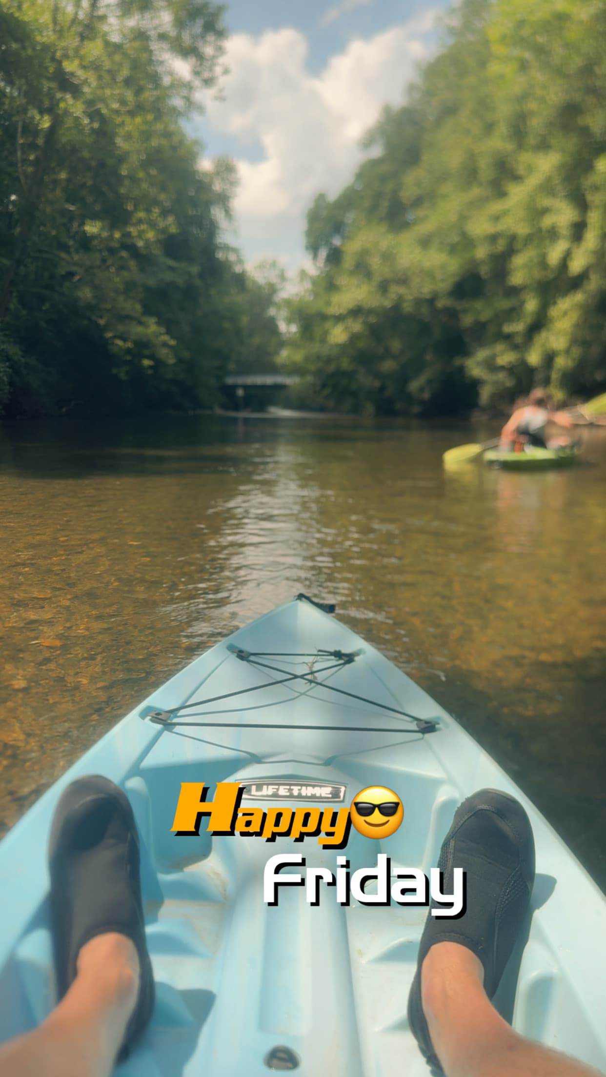
Austin M.
Kayak •
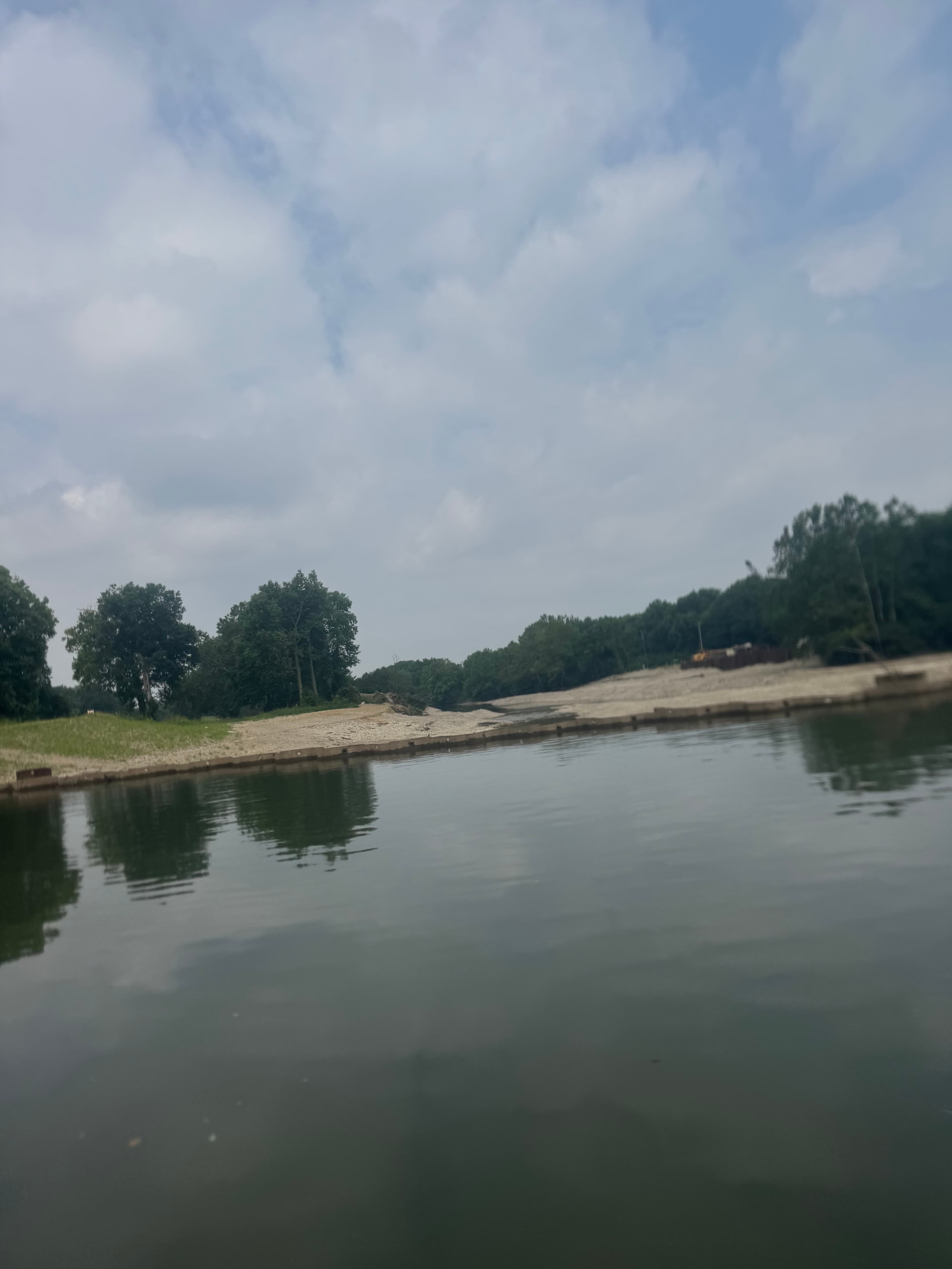
Spangler road in medway to Dayton deeds park
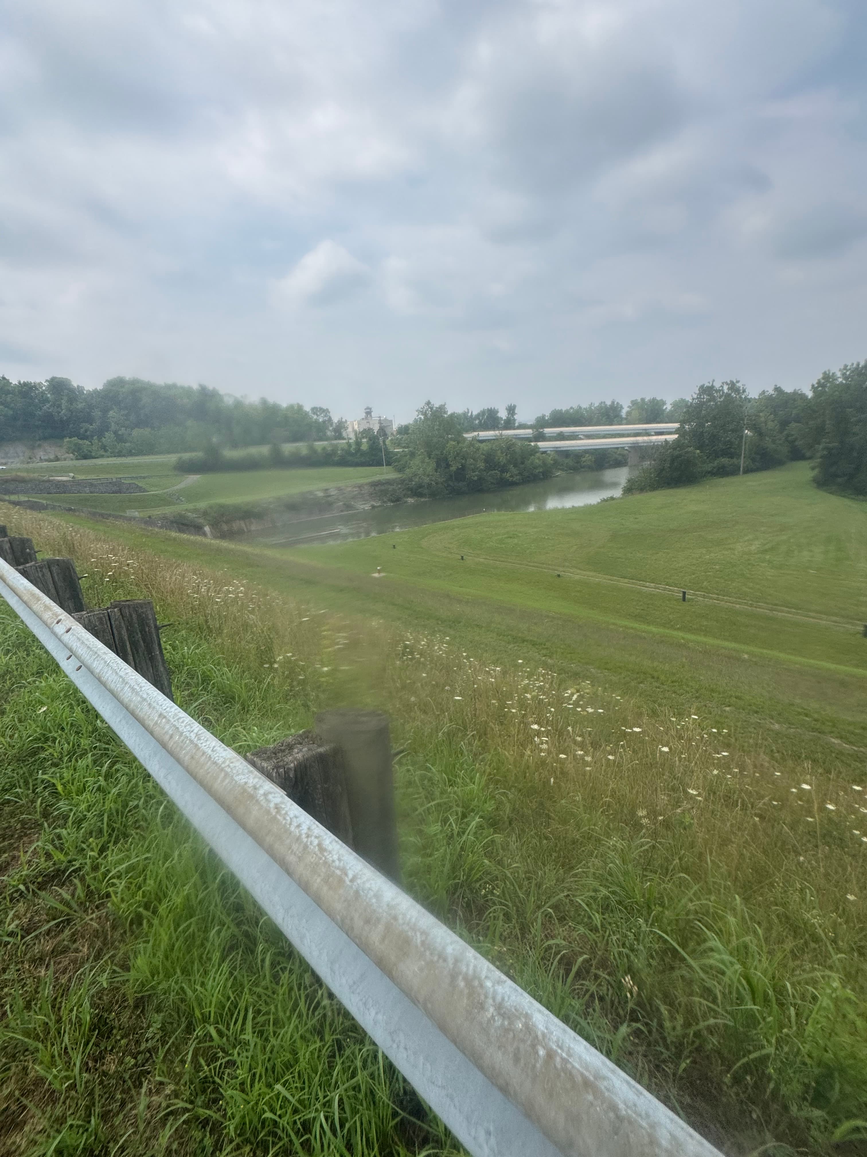
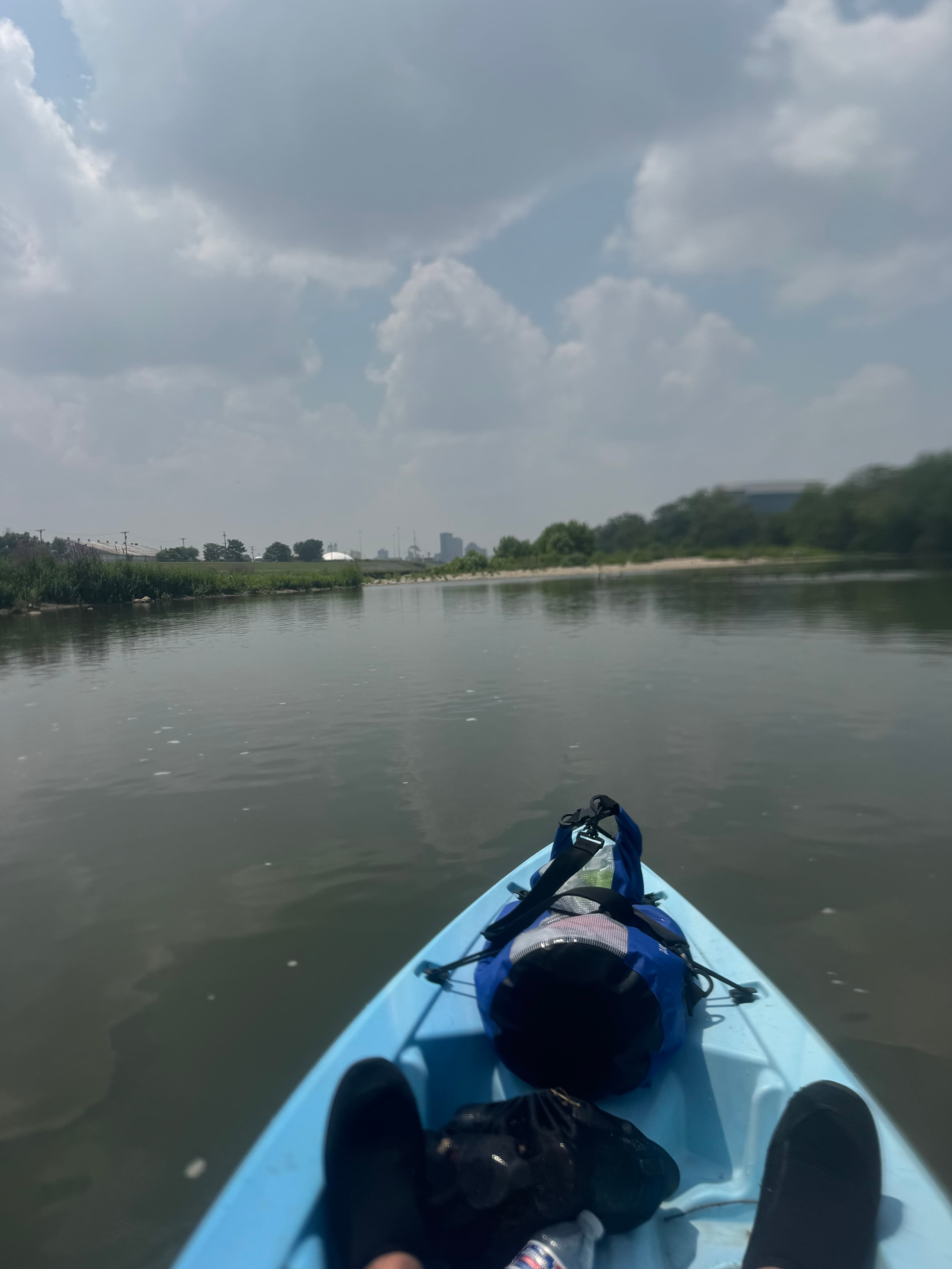
 +2
Austin M.
24 cfs at West Liberty Oh - 03266560
West liberty to birch bark
See exactly where the public can get on and off the river. Launch points and boat ramps are paired with PaddleWays' public land data so you know where you can legally land.
Public shoreline
11%of the river's shoreline is public
Most of the riverbank is private. Launch, land and camp only at public access points.
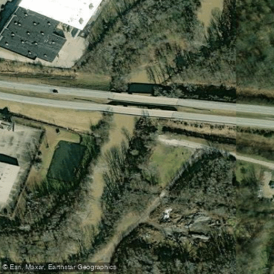
Boat Ramp
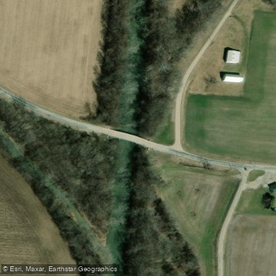
Boat Ramp
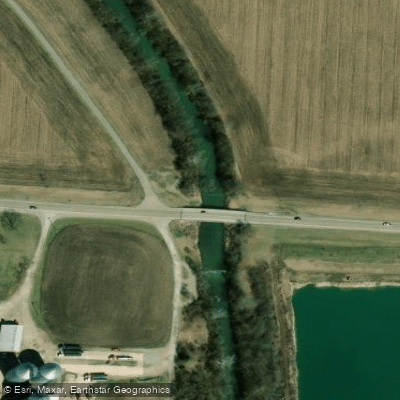
Boat Ramp
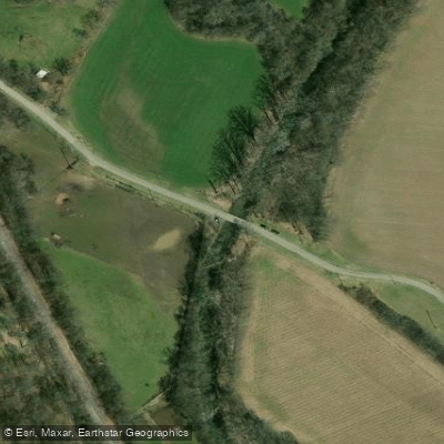
Boat Ramp
Showing 4 of 26 boat ramps.
Flows, weather and a route-by-route verdict, so you know which stretch of the Mad River is worth paddling today.
All Flow Stations
Live flows, marked hazards and fresh trip reports from paddlers who were just on the water, all in one place.





Every user gets free access to launch points, boat ramps, and public property parcels.
Loading popular cities...
PaddleWays gives you everything you need to plan smarter, paddle better, and own every trip from first launch to takeout.





