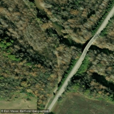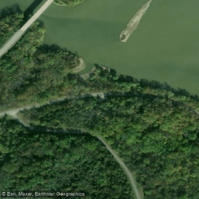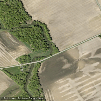
Curated by PaddleWays
RouteClass II–IV
- Distance
- 2 mi
- Paddle time
- ~0.5 hrs
- Best for
- Intermediate paddlers
- Put-in → take-out
- Fishback Road → State Route 28
Class IV drop on the run
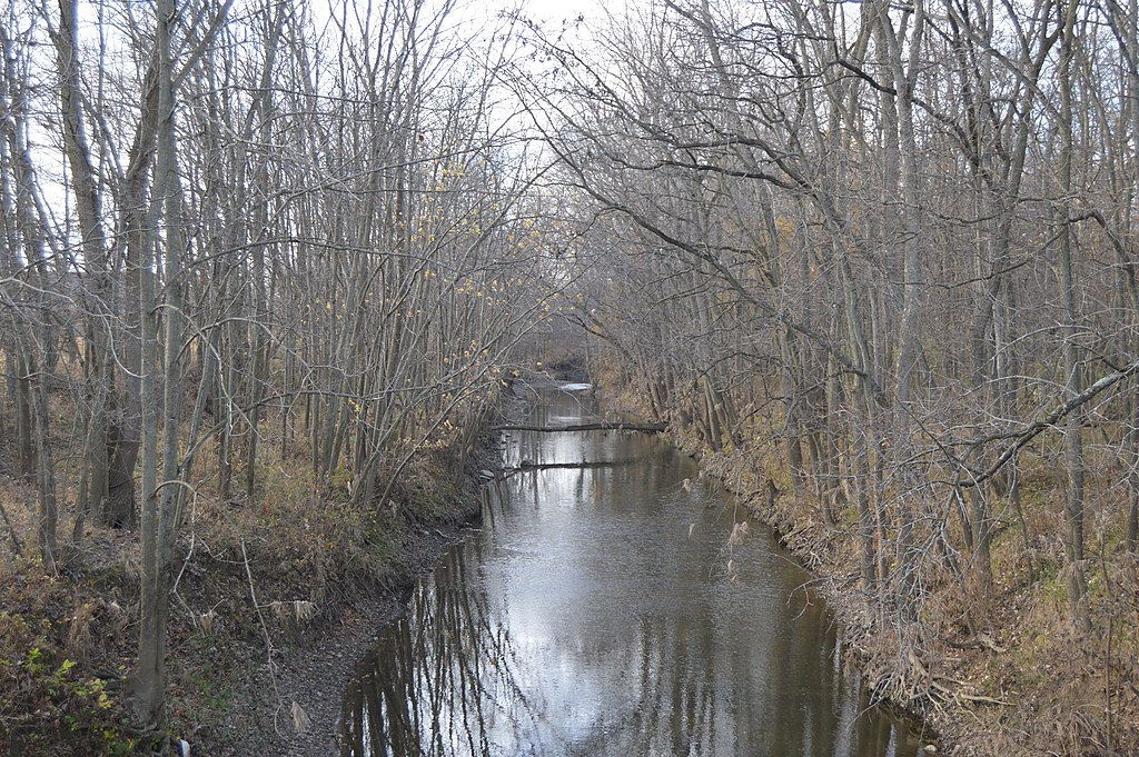
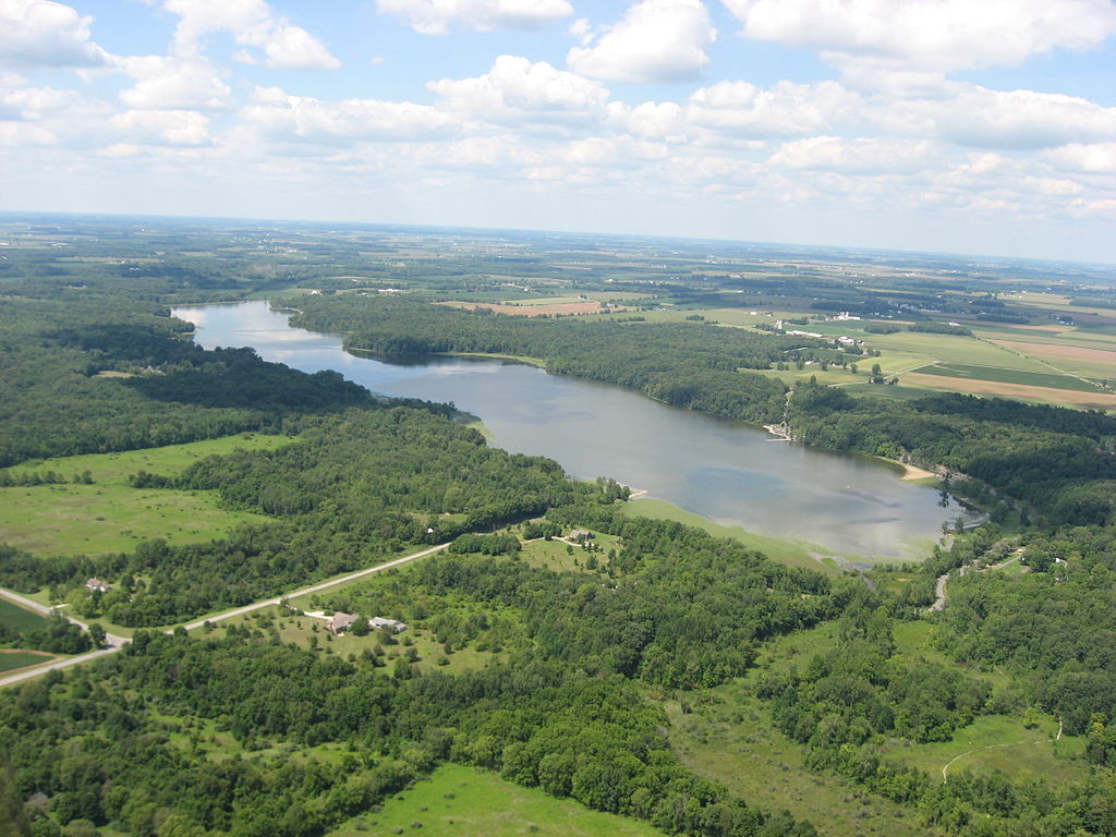
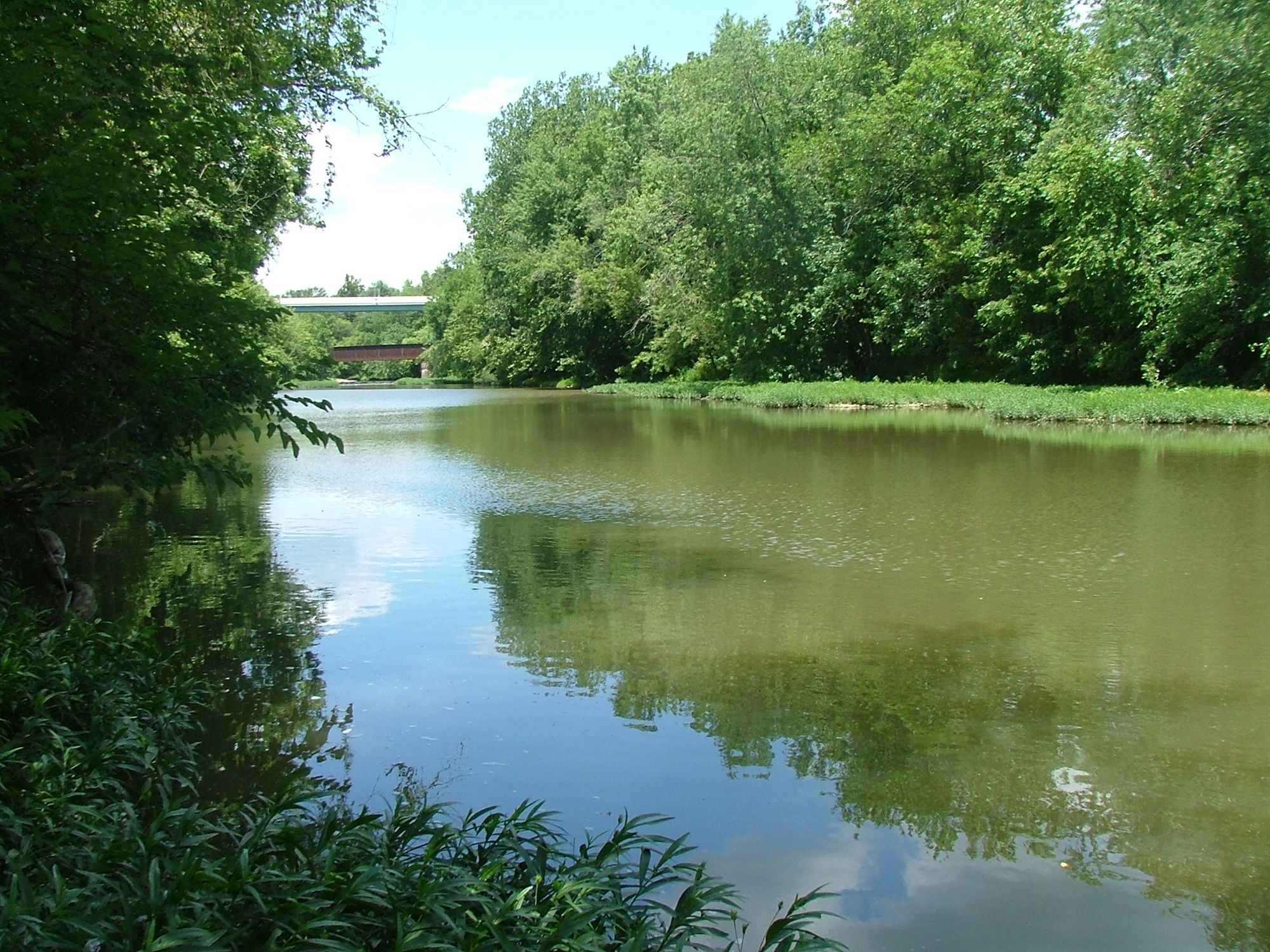
Rattlesnake Creek flows through the southwestern Ohio counties of Highland, Fayette, Clinton, and Madison before joining Paint Creek at approximately river mile 36.27. This tributary system drains portions of the Eastern Corn Belt Plains ecoregion, characterized by agricultural landscapes interspersed with stream corridors that support warmwater aquatic communities.
The creek originates in Highland County and flows generally northward through Fayette County, where it receives treatment plant discharge from the Rattlesnake Wastewater Treatment Plant near the US Route 35 and Interstate 71 interchange in Jefferson Township. The facility, operating at a design flow of 1.0 million gallons per day, serves the immediate area including a 2,500-acre industrial park development. Downstream, the creek continues through Clinton County before reaching its confluence with Paint Creek, which eventually flows into Paint Creek Lake.
Rattlesnake Creek carries a Warmwater Habitat designation under Ohio's water quality standards, along with Agricultural Water Supply, Industrial Water Supply, and Primary Contact Recreation use classifications. The 2012 Paint Creek Total Maximum Daily Load (TMDL) identified habitat alterations, low dissolved oxygen, organic enrichment, and sedimentation as causes of impairment in the Headwaters Rattlesnake Creek assessment area. These conditions stem primarily from channelization for agricultural drainage, urban runoff, and point source discharges.
Despite these challenges, biological surveys conducted in 2006 documented full attainment of aquatic life uses downstream of the wastewater treatment plant to Paint Creek Lake. The stream supports diverse fish communities, with surveys identifying 21 species at certain sampling locations. Documented species include white bass, largemouth bass, smallmouth bass, yellow perch, and yellow bullhead. While no state-listed threatened or endangered species have been recorded in the immediate vicinity of the treatment plant discharge, upstream reaches have supported least darters, an Ohio Division of Wildlife special interest species.
Water quality monitoring reveals elevated nitrate-nitrite concentrations throughout the subwatershed, reflecting the predominant agricultural land use. Total phosphorus levels generally meet in-stream targets except immediately downstream of point source discharges. The approved TMDL established wasteload and load allocations for nutrients, sediment, habitat improvements, and bacteria to restore full attainment throughout the watershed.
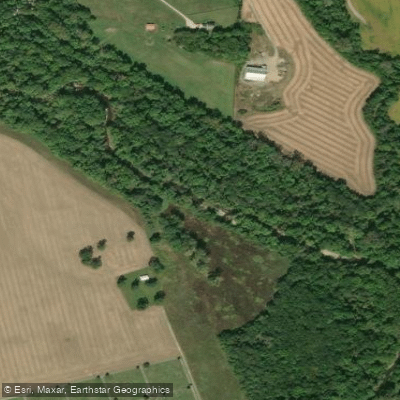
Access to Rattlesnake Creek remains limited, with most stream reaches flowing through private agricultural lands. The surrounding communities include Jeffersonville in Fayette County and areas within Clinton County's jurisdiction. Management recommendations focus on addressing agricultural impacts, including row crop practices and livestock access, along with continued implementation of municipal separate storm sewer system (MS4) permits to reduce sediment loading from urban areas.
Curated routes
Hand-picked by the PaddleWays team, with put-ins, take-outs, paddle times and the hazards along the way.
RouteClass II–IV
Hazards
No paddler has reported a hazard here yet, so these are the dams, falls and big rapids on our map. Hazards change with flows and storms, so check them before you launch.
From the community
Nobody has shared a trip on Rattlesnake Creek yet. Paddle it, then tell the next paddler how it went.
See exactly where the public can get on and off the river. Launch points and boat ramps are paired with PaddleWays' public land data so you know where you can legally land.
Public shoreline
21%of the river's shoreline is public
Most of the riverbank is private. Launch, land and camp only at public access points.
Flows, weather and a route-by-route verdict, so you know which stretch of the Rattlesnake Creek is worth paddling today.
Live flows, marked hazards and fresh trip reports from paddlers who were just on the water, all in one place.





Every user gets free access to launch points, boat ramps, and public property parcels.

Loading popular cities...
PaddleWays gives you everything you need to plan smarter, paddle better, and own every trip from first launch to takeout.