Curated by PaddleWays
Salt Creek
- River · Class I–II
Salt Creek
- River · Class I–II
- River length
- 48.3 mi
- Curated routes
- 2
- Public shoreline
- 2%
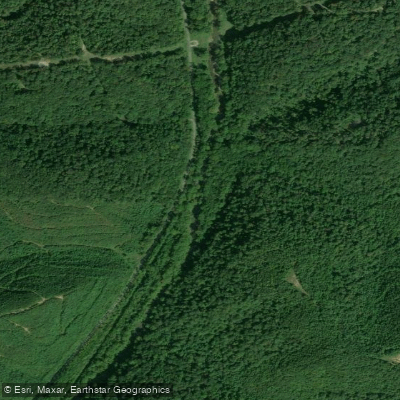
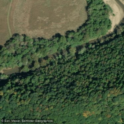
Salt Creek originates in northern Fairfield County and flows approximately 90 miles southward through some of Ohio's most geologically distinctive terrain before joining the Scioto River in Ross County. The watershed encompasses portions of Fairfield, Hocking, Pickaway, Ross, and Vinton counties, draining approximately 1,251 square miles of southeastern Ohio's Appalachian foothills. The river's defining feature is "The Narrows," a dramatic seven-mile gorge in Hocking and Vinton counties where the stream carved through resistant Black Hand sandstone, creating towering cliffs that rise approximately 300 feet above the water. This geological phenomenon resulted from glacial stream reversal during the Pleistocene epoch, forcing the creek to cut a new channel through bedrock. The gorge remains one of Ohio's most impressive natural features, with forested hillsides descending steeply to the water's edge.
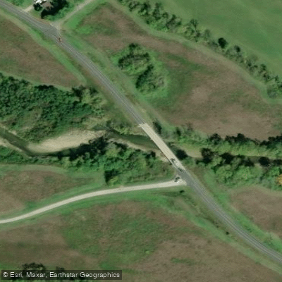
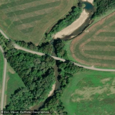
Paddling opportunities exist primarily on the lower sections of Salt Creek. The most popular stretch runs from the State Route 56 bridge near South Bloomingville to the Route 50 bridge east of Londonderry in Ross County—approximately 17 miles requiring 6-7 hours. This section passes through The Narrows and offers Class I-II water suitable for intermediate paddlers with basic river skills. Water clarity remains exceptional due to extensive riparian forest cover, and the streambed alternates between bedrock with glacial grooves, clean gravel, and fine sand. Spring and early summer provide optimal paddling conditions with adequate flow, though the creek remains navigable during normal water levels with only occasional shallow sections requiring brief portaging.
The watershed supports Exceptional Warmwater Habitat designation with healthy populations of smallmouth bass, rock bass, and various sucker species. Bald eagles, great blue herons, and belted kingfishers frequent the corridor, while the forested slopes harbor white-tailed deer, wild turkey, and timber rattlesnakes.
Access points include bridges at State Route 56 (Narrows Road), Pretty Run Road, Route 671, and US Route 50 in Londonderry. The towns of Laurelville, Adelphi, and Coalton provide nearby services, though the valley itself remains sparsely populated.
Historically, the Shawnee and Mingo peoples utilized this valley as a travel corridor. The creek's name derives from natural salt licks that attracted wildlife and served as important gathering sites for Native Americans and early settlers. Evidence of 19th-century settlement, including abandoned homesteads and old mill sites, occasionally appears along the banks.
Paddlers should note the remote character of The Narrows section, where steep terrain limits emergency access. No motorized rescue is possible through much of the gorge. The creek contains numerous submerged tires—an unfortunate legacy requiring careful navigation. Standard Ohio fishing and boating regulations apply, with no special permits required for recreational paddling.
Curated routes
Popular routes to paddle
Hand-picked by the PaddleWays team, with put-ins, take-outs, paddle times and the hazards along the way.
Curated by PaddleWays
RouteClass I–II
- Distance
- 31.3 mi
- Paddle time
- Multi-day
- Best for
- Beginners, intermediate paddlers
- Put-in & take-out
- Salt Creek Canoe Launch
Hazards
Hazards on Salt Creek
No hazards are marked on Salt Creek yet. That is not the same as none being there: if you find one, report it for the next paddler.
From the community
Salt Creek trip reports
Nobody has shared a trip on Salt Creek yet. Paddle it, then tell the next paddler how it went.
Water access & public shoreline
See exactly where the public can get on and off the river. Launch points and boat ramps are paired with PaddleWays' public land data so you know where you can legally land.
Public shoreline
2%of the river's shoreline is public
- Public
- 2%
- Private
- 98%
Largest public stretches
- Crossmound Park
- Salt Creek Riparian Corridor Protection And Enhancement
Most of the riverbank is private. Launch, land and camp only at public access points.
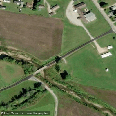
Flows & paddling conditions (10 day forecast)
Flows, weather and a route-by-route verdict, so you know which stretch of the Salt Creek is worth paddling today.
No forecast data available.
Paddle smarter with real-time insights
Live flows, marked hazards and fresh trip reports from paddlers who were just on the water, all in one place.







Find Places to Paddle

Over 400,000 Places to Paddle
Every user gets free access to launch points, boat ramps, and public property parcels.



Paddling near Salt Creek
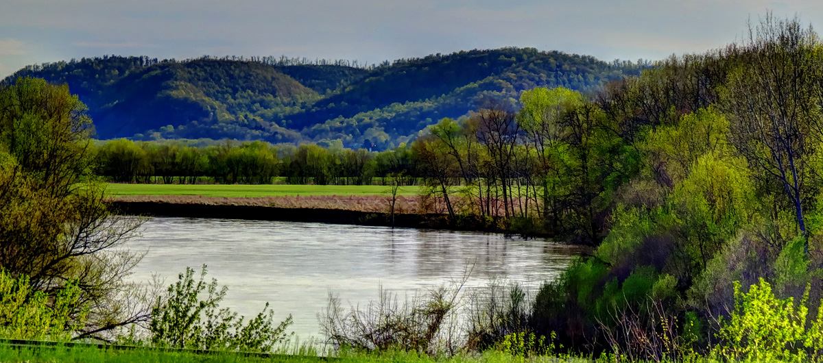
Scioto River
Kentucky, Ohio
33.2 miles away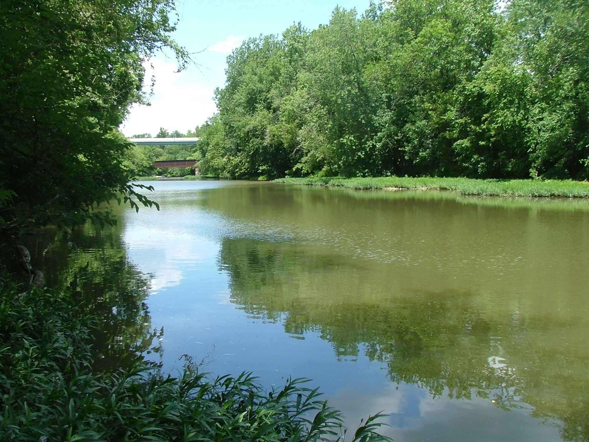
Paint Creek
Ohio
35.8 miles away
Rocky Fork Lake
Ohio
44.4 miles away
Deer Creek
Ohio
34.2 miles away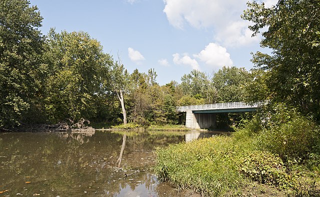
Big Darby Creek
Ohio
46 miles away
Ohio River
Illinois, Indiana, Kentucky, Missouri, Ohio, Pennsylvania, West Virginia
121 miles away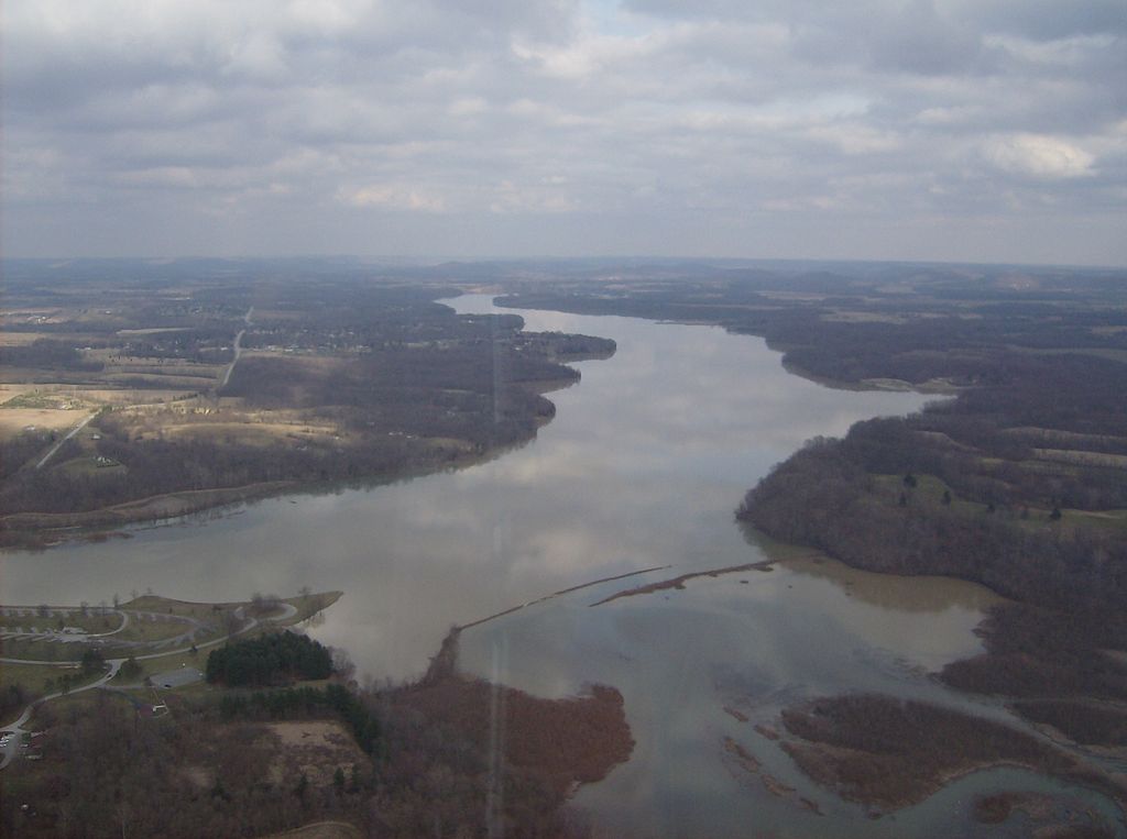
Rocky Fork
Ohio
46.1 miles away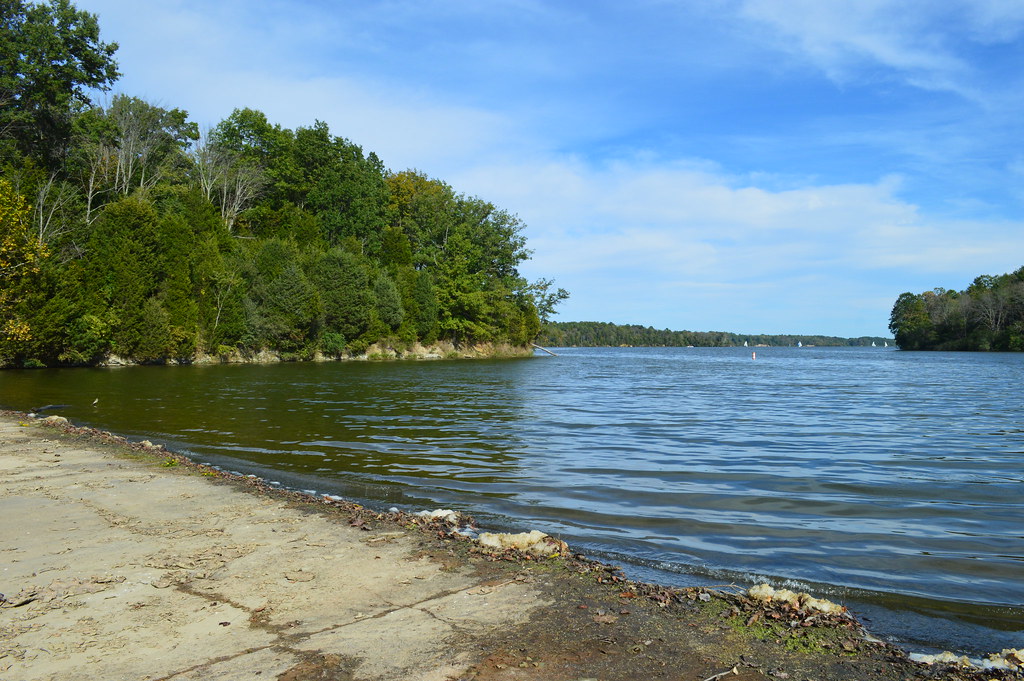
Cowan Lake
Ohio
63.1 miles away
Raccoon Creek
Ohio
34 miles away
Big Walnut Creek
Ohio
47.4 miles awayExplore Ohio waters
Top paddling waters
Popular Cities
Loading popular cities...
Explore near Salt Creek
Access points
Nearby waters
More in Ohio

Smarter Paddling Starts in the App.
PaddleWays gives you everything you need to plan smarter, paddle better, and own every trip from first launch to takeout.