Curated by PaddleWays
RouteClass I
- Distance
- 26 mi
- Paddle time
- ~8.5 hrs
- Best for
- Beginners
- Put-in & take-out
- Scioto Brush Creek, North & Main Branch Canoe Launch
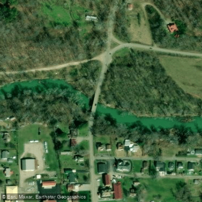
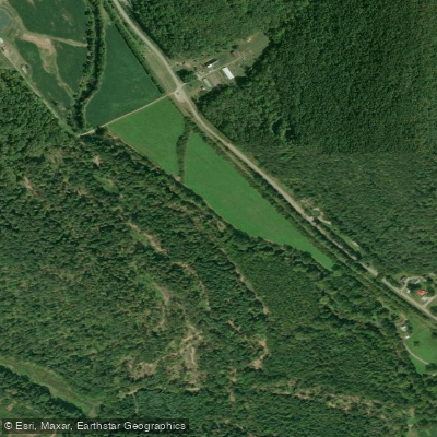
Scioto Brush Creek is a significant tributary of the Scioto River, flowing through the rugged, unglaciated terrain of southern Ohio. Originating in Scioto County, this 36-mile waterway meanders northward through lush Appalachian foothills before joining the Scioto River near Rushtown. The creek drains a watershed of approximately 270 square miles, encompassing parts of Scioto, Pike, and Adams counties. Renowned for its exceptional water quality and biodiversity, Scioto Brush Creek is designated as an Exceptional Warmwater Habitat (EWH) by the Ohio Environmental Protection Agency. This classification reflects the creek's ability to support a rich variety of aquatic life, including numerous fish species and rare freshwater mussels.
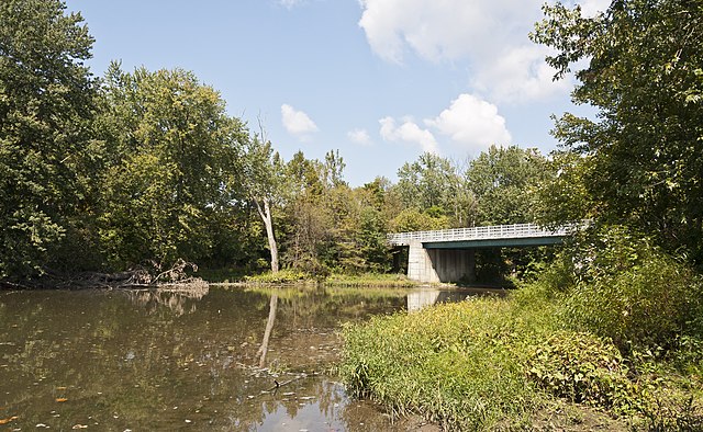
For paddlers, Scioto Brush Creek offers a serene Class I experience suitable for beginners and families. The most popular section runs 36 miles from the Coffee Hollow Road Bridge to the Colley Road Bridge, typically completed as a one-night journey. While camping is not permitted directly along the creek, nearby state forests provide overnight options for multi-day trips.
The creek's flow is generally most reliable in spring and early summer, with water levels often becoming too low for comfortable paddling by late summer. Fall can bring renewed paddling opportunities if there is sufficient rainfall.
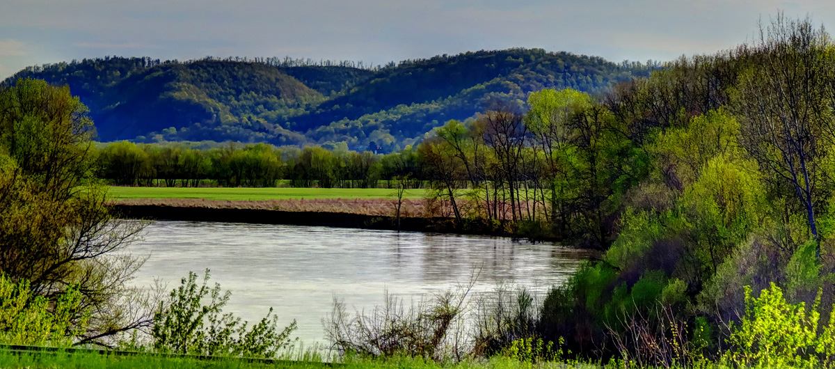
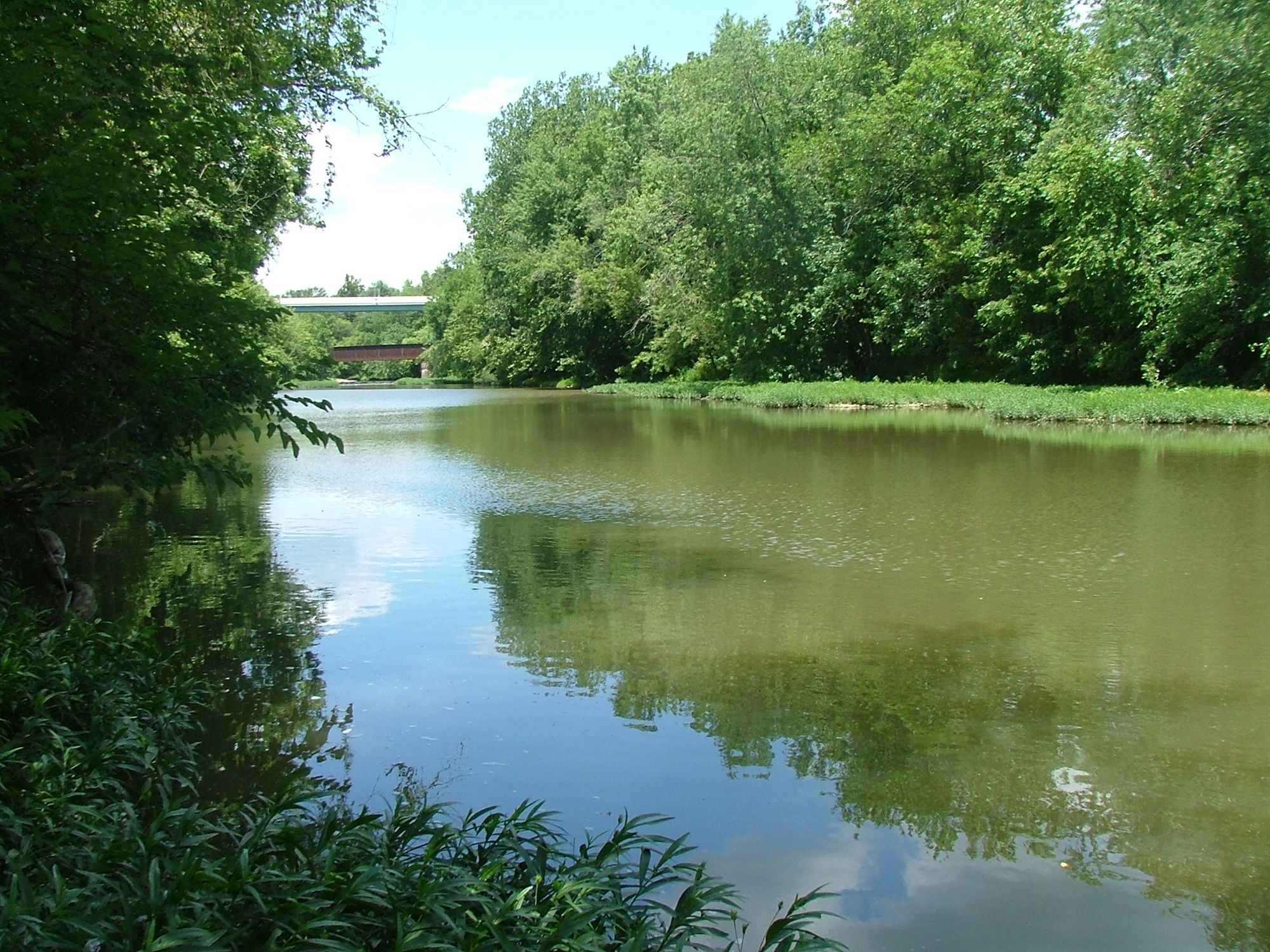
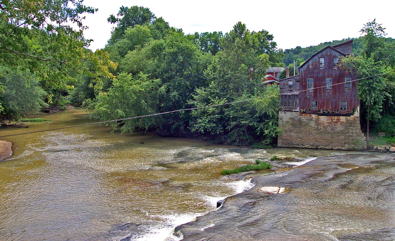
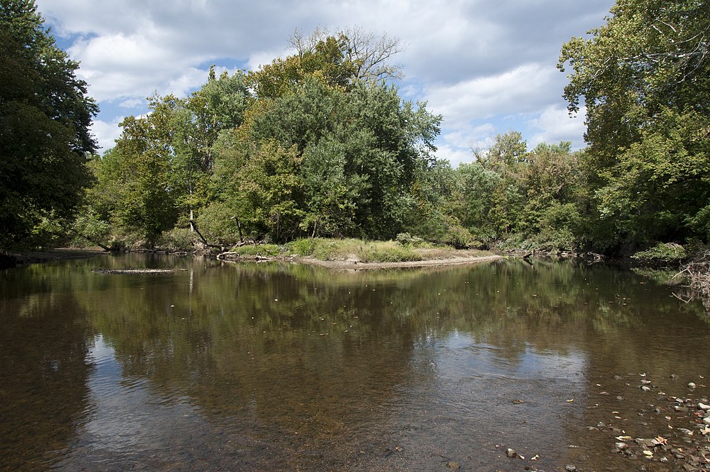
Scioto Brush Creek flows through a mix of forested hillsides and occasional farmland, providing habitat for diverse wildlife. Paddlers may encounter great blue herons, bald eagles, and various turtle species. The surrounding woodlands showcase a rich tapestry of hardwoods, including oak, hickory, and maple.
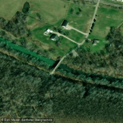
Key access points include the put-in at Coffee Hollow Road Bridge near Otway and the take-out at Colley Road Bridge. The nearby town of Portsmouth offers amenities for paddlers planning their trips.
The creek holds historical significance as a transportation route for early settlers and played a role in the region's timber industry. Today, it serves as an important ecological corridor and recreational resource.
Safety considerations include watching for strainers and low-head dams, particularly after heavy rains. Paddlers should check water levels before embarking and be prepared for limited cell phone coverage in some areas.
The Friends of Scioto Brush Creek, a local conservation group, works to maintain and improve the creek's water quality through education and community involvement, underscoring the waterway's importance to the region's natural heritage.
Curated routes
Hand-picked by the PaddleWays team, with put-ins, take-outs, paddle times and the hazards along the way.
RouteClass I
Hazards
No hazards are marked on Scioto Brush Creek yet. That is not the same as none being there: if you find one, report it for the next paddler.
From the community
Nobody has shared a trip on Scioto Brush Creek yet. Paddle it, then tell the next paddler how it went.
See exactly where the public can get on and off the river. Launch points and boat ramps are paired with PaddleWays' public land data so you know where you can legally land.
Public shoreline
4%of the river's shoreline is public
Most of the riverbank is private. Launch, land and camp only at public access points.
Flows, weather and a route-by-route verdict, so you know which stretch of the Scioto Brush Creek is worth paddling today.
No forecast data available.
Live flows, marked hazards and fresh trip reports from paddlers who were just on the water, all in one place.





Every user gets free access to launch points, boat ramps, and public property parcels.

Loading popular cities...
PaddleWays gives you everything you need to plan smarter, paddle better, and own every trip from first launch to takeout.