Auglaize River
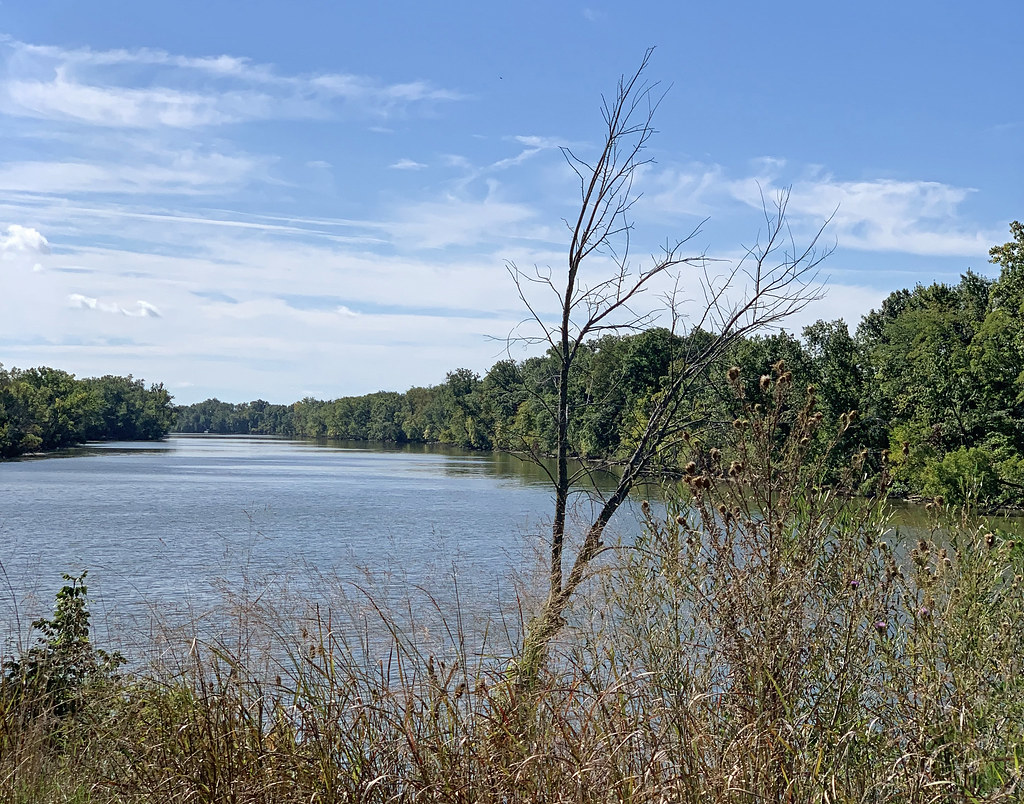
Auglaize River
- Boat Ramps
- 11
- Access Points
- 11
- Campsites
- 0
The Auglaize River is a significant waterway in northwestern Ohio, flowing northward for approximately 113 miles before joining the Maumee River near Defiance. Its name derives from the French term meaning frozen water, hinting at its winter character. The river drains a primarily agricultural watershed, passing through several counties including Allen, Auglaize, and Paulding.
Paddling opportunities on the Auglaize River cater to a range of skill levels, with most sections classified as flatwater to Class I. Popular trips include the 8-mile Buckland to Fort Amanda Road Bridge stretch, known for its clear waters and peaceful surroundings. Several outfitters, such as Auglaize Canoe & Kayak and Fort Amanda Canoe Livery, offer trips ranging from 3 to 15 miles, making the river accessible for both quick outings and full-day adventures.
The river's difficulty is generally suitable for beginners and families, with occasional small rapids providing mild excitement. However, water levels can fluctuate seasonally, affecting paddling conditions. Spring and early summer typically offer the best water levels, while late summer may see shallow spots requiring occasional portaging.
The Auglaize River corridor supports diverse wildlife, including bald eagles, which paddlers often spot along their journey. The surrounding landscape alternates between wooded banks and rural farmland, offering a scenic backdrop for river trips. Key landmarks include the historic Fort Amanda State Memorial near Lima, and the Auglaize Hydroelectric Plant south of Defiance, with its dam dating back to 1912. The river played a significant role in the region's early settlement and industrial development.
Major access points are found near towns like Oakwood, Defiance, and Lima. The river's relatively uncrowded nature allows paddlers to often find solitude on the water, especially on weekdays. Safety considerations include checking water levels before trips, as low water can create obstacles. Life jackets are required for children 10 and under by Ohio law, and recommended for all paddlers.
While most trips are day outings, the river's length allows for potential multi-day adventures for more experienced paddlers, with primitive camping available along some stretches. The Auglaize River offers a quintessential Midwest paddling experience, combining natural beauty, history, and accessible adventure for all levels of river enthusiasts.
Water access, boat ramps & amenities
Learn how to get on Auglaize River. Uncover great paddling access points, boat ramps, and all the facilities you need for an unforgettable day on the water. Some locations shown may border or include private property. Always check property boundaries and applicable regulations before visiting. PaddleWays's Public & Private Land layer can help you plan your access with confidence.
Paddle smarter with real-time insights
Whether you're en route and conditions shift or you're looking for the best spot based on current flows, we enable you to make informed decisions on the fly.








Find Places to Paddle

Over 400,000 Places to Paddle
Every user gets free access to launch points, boat ramps, and public property parcels.


Water and weather conditions (10 day forecast)
See the best times to paddle Auglaize River and check the forecast before you go.
Auglaize River near Kossuth OH
All Flow Stations
Paddling near Auglaize River
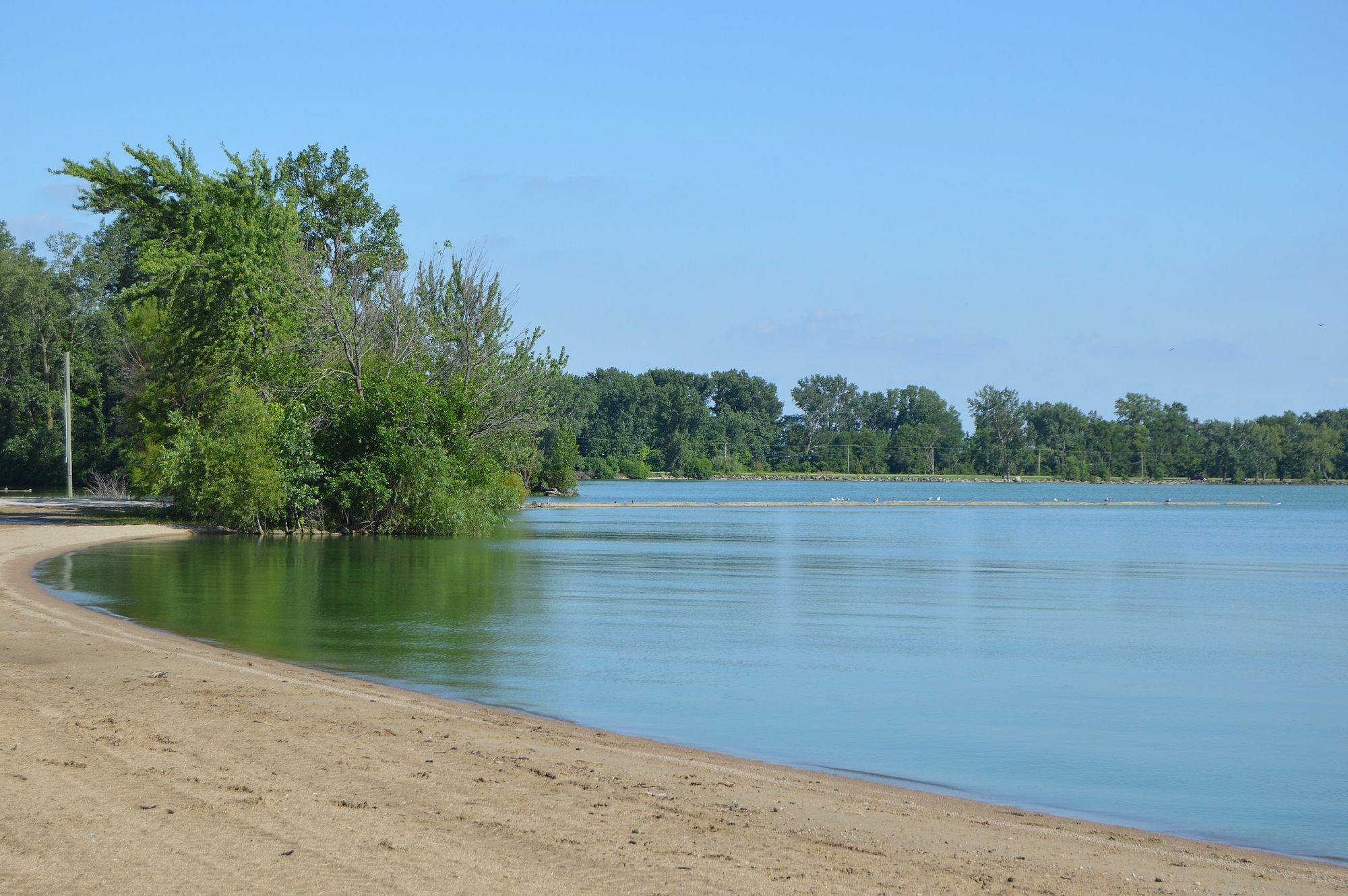
Grand Lake
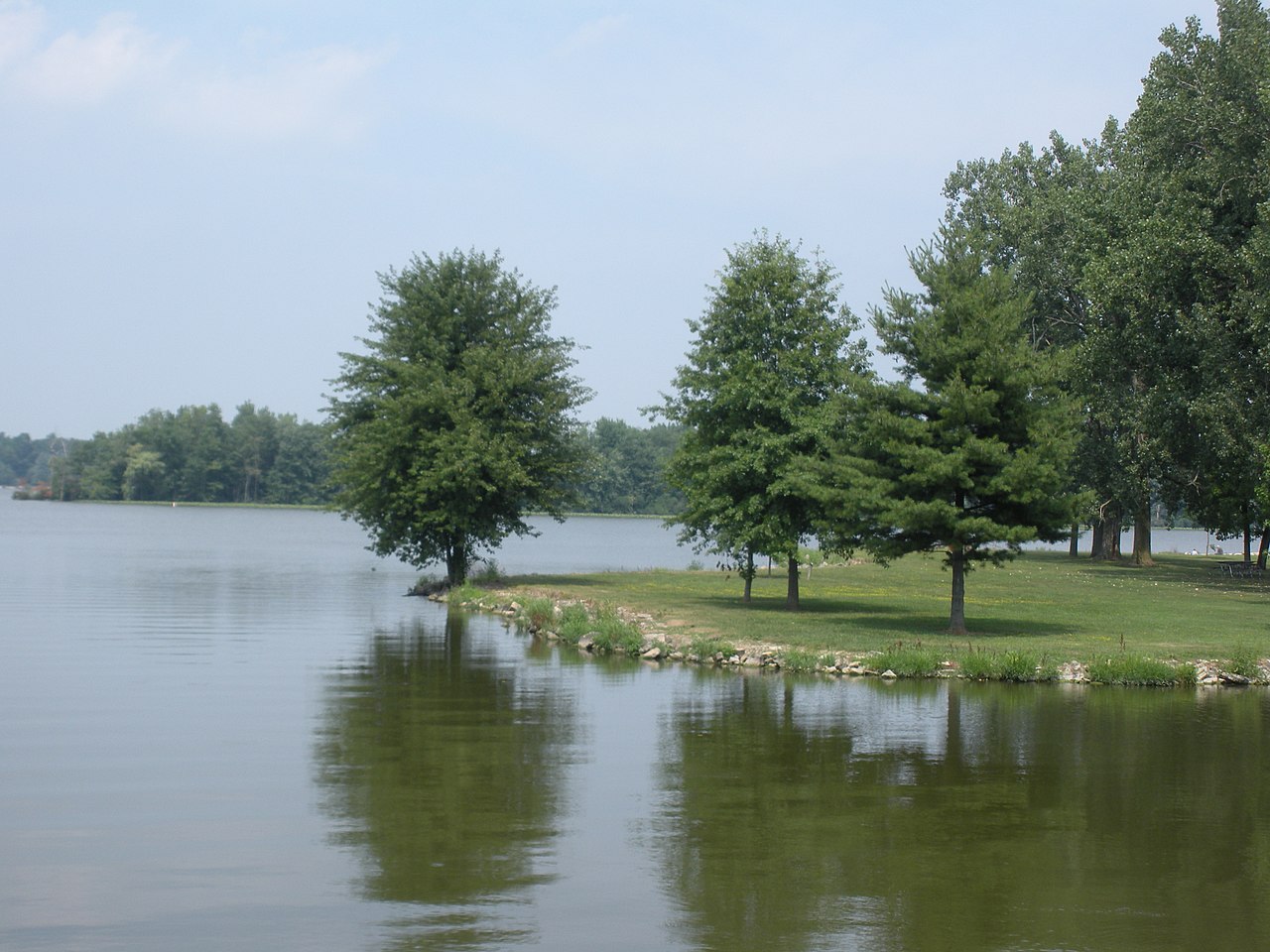
Lake Loramie
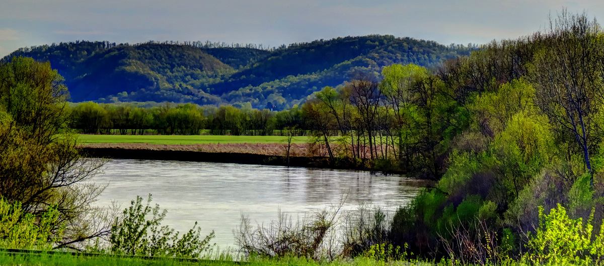
Scioto River
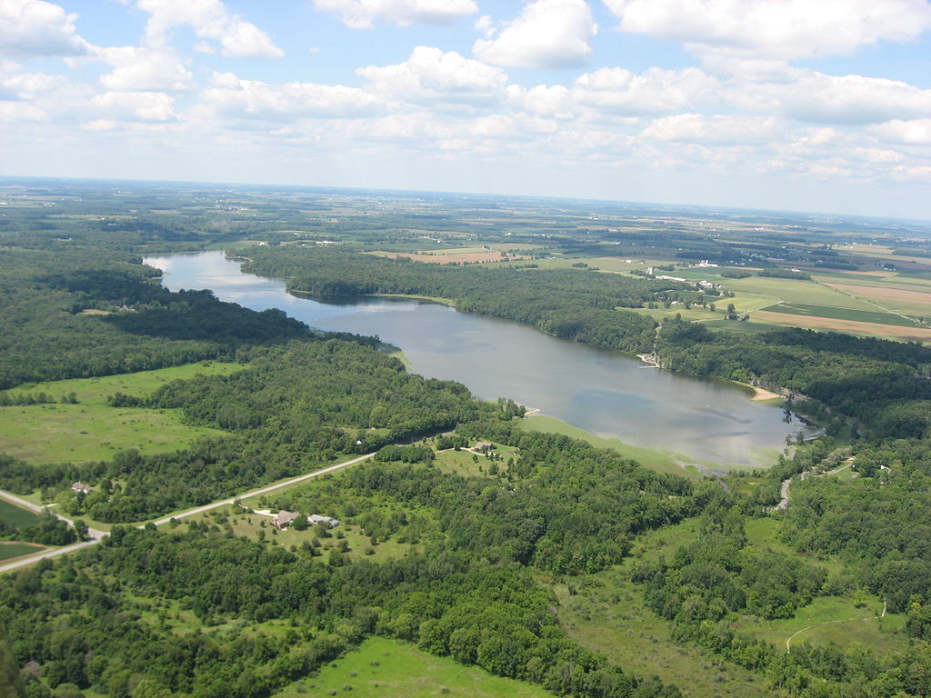
Kiser Lake
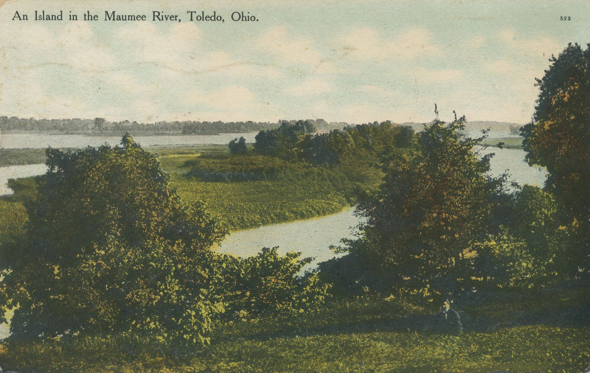
Maumee River
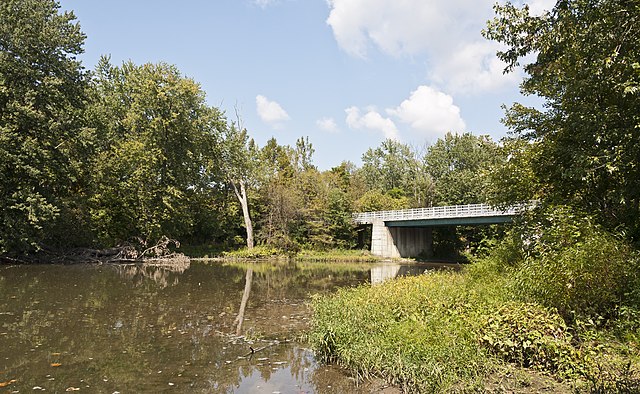
Big Darby Creek
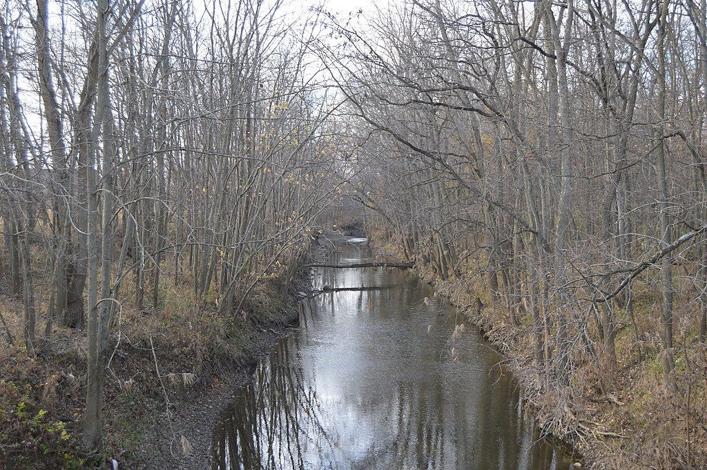
Stillwater River
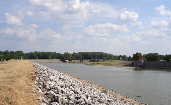
Sandusky River
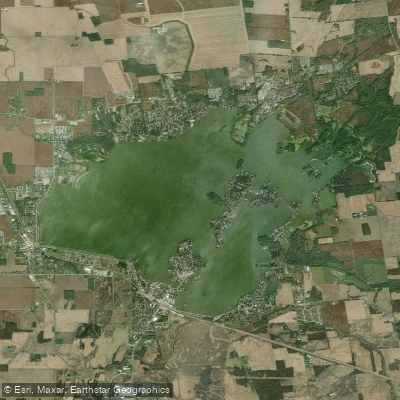
Dunns Pond
Explore Ohio waters
Top paddling waters
Popular Cities
Loading popular cities...
Explore near Auglaize River
Access points
- Auglaize River Canoe Launch
- Auglaize River Canoe Launch
- Agerter Road River Access Boat Ramp
- Auglaize River Canoe Launch
- Auglaize River Canoe Launch
- Auglaize River Canoe Launch
- Auglaize River Hand Boat Launch
- Oakwood Ramp Boat Ramp
- Oakwood Boat Ramp
- Auglaize River Canoe Launch
- Blanchard River Canoe Launch
- Auglaize River Bridge
- All 287 spots
Nearby waters
More in Ohio

Smarter Paddling Starts in the App.
Paddleways gives you everything you need to plan smarter, paddle better, and own every trip from first launch to takeout.