Grand Lake
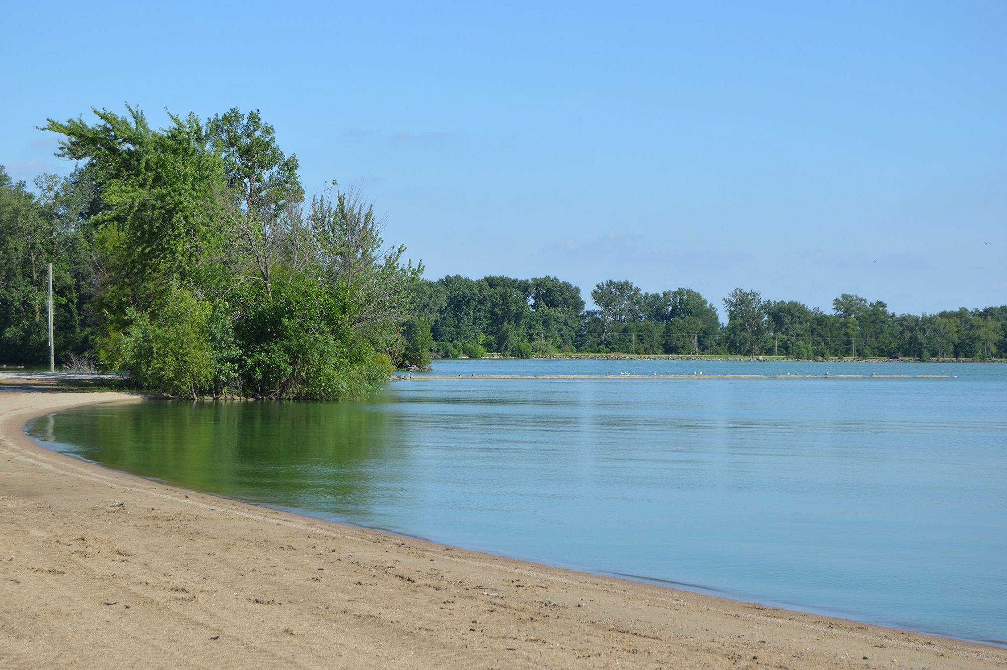
Grand Lake
- Boat Ramps
- 10
- Access Points
- 36
- Campsites
- 2
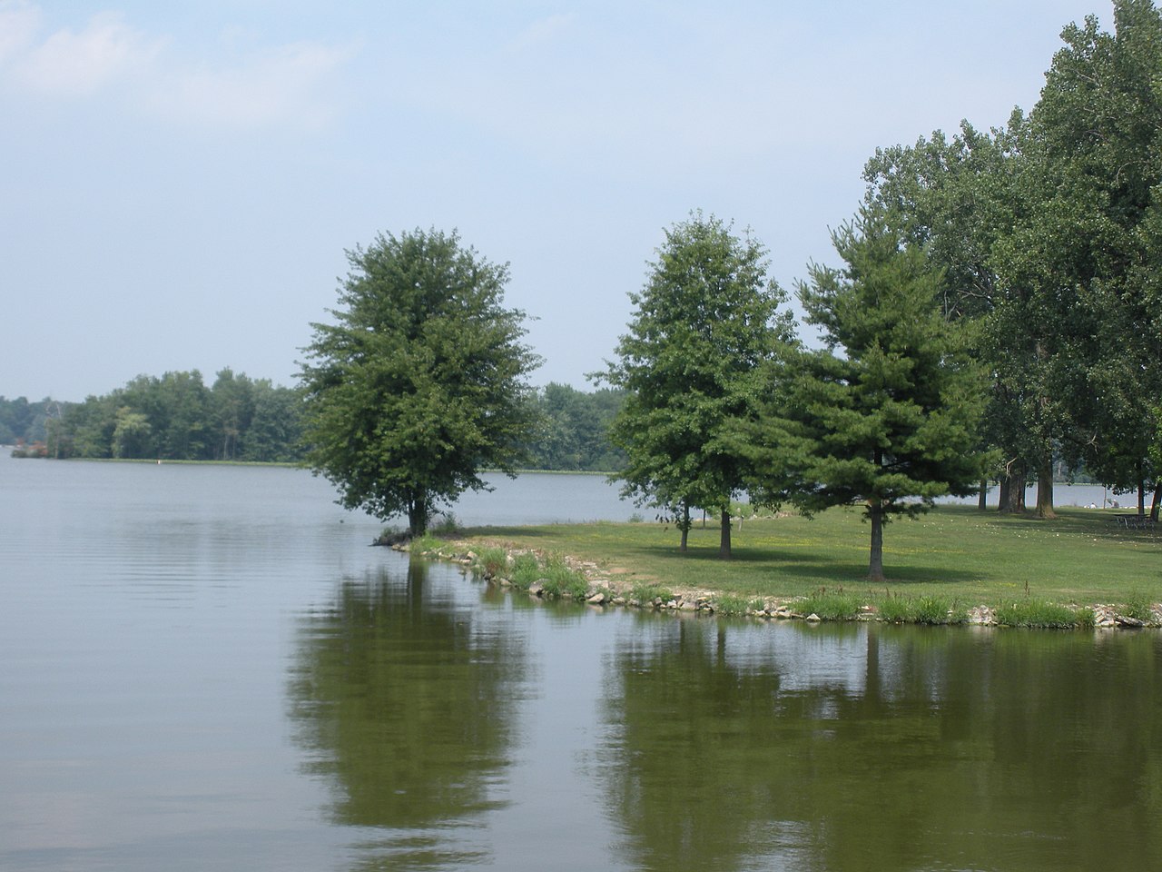
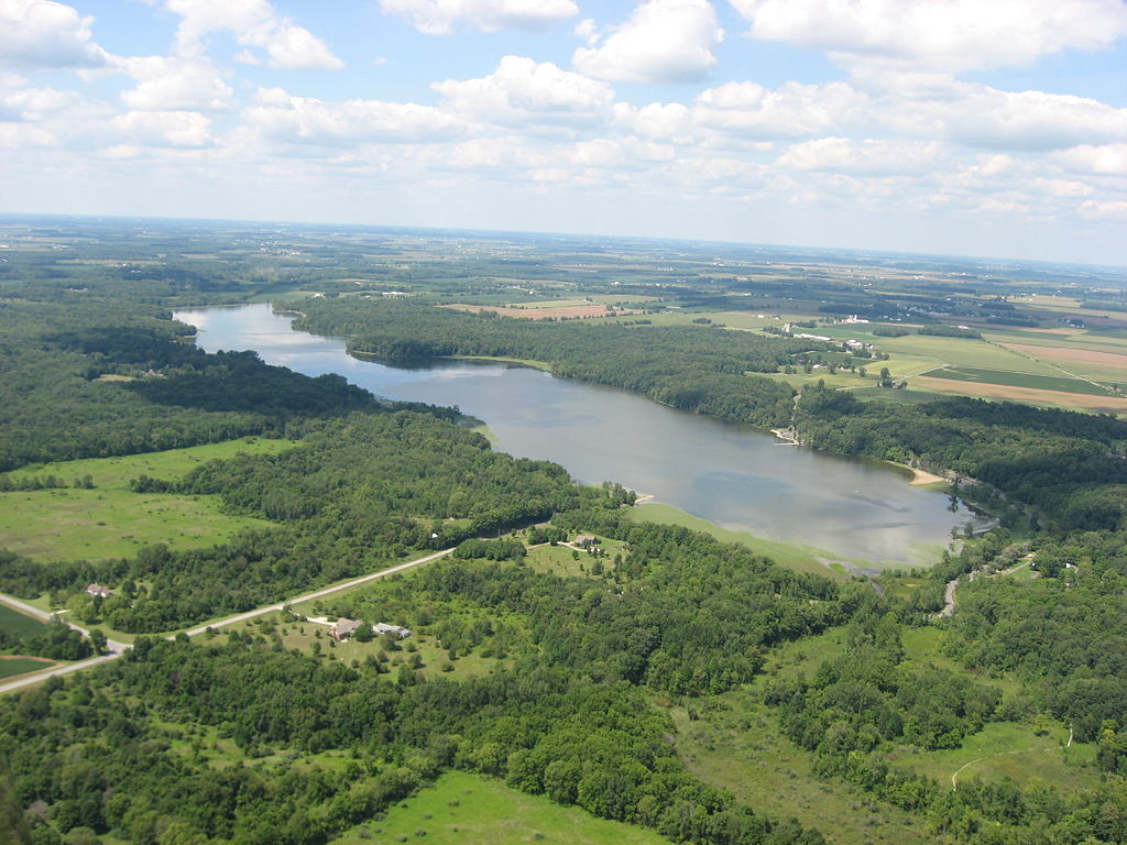
Grand Lake St. Marys in western Ohio is the state's largest inland lake, offering 13,500 acres of paddling opportunities. The lake is approximately 9.5 miles long with 52 miles of shoreline. Eight state-operated launch ramps provide access around the lake. Paddlers can enjoy scenic tree-lined shores, with the north shore featuring well-kept yards and channels, while the south shore offers more natural habitat.
Wildlife viewing is a highlight, with opportunities to spot nesting bald eagles, blue herons, egrets, and various duck species. The lake's shallow depth makes it prone to rough conditions during storms, so paddlers should exercise caution and be prepared to seek shelter in the numerous channels and creeks.
No wake zones extend 300 feet from shore. The state wildlife refuge in the southwest corner is off-limits to all boats. Ohio requires boat registration for all watercraft. Several public beaches and picnic areas with tables and grills are available around the lake.
The lake was originally constructed as a feeder reservoir for the Miami & Erie Canal and was once the world's largest man-made lake. Oil derricks once dotted the lake during a late 1890s oil boom. Today, Grand Lake St. Marys State Park offers camping, hiking trails, and other amenities for paddlers looking to extend their visit.
Fall foliage makes autumn an especially scenic time to paddle. The annual Celina Lake Festival in late July features numerous water activities. Paddlers should be aware that the lake has experienced water quality issues in recent years, so checking current conditions is advisable before planning a trip.
Water access, boat ramps & amenities
Learn how to get on Grand Lake. Uncover great paddling access points, boat ramps, and all the facilities you need for an unforgettable day on the water. Some locations shown may border or include private property. Always check property boundaries and applicable regulations before visiting. PaddleWays's Public & Private Land layer can help you plan your access with confidence.
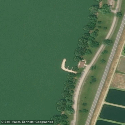
Grand Lake St Marys State Park Access
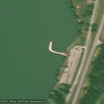
Grand Lake St Marys State Park Access
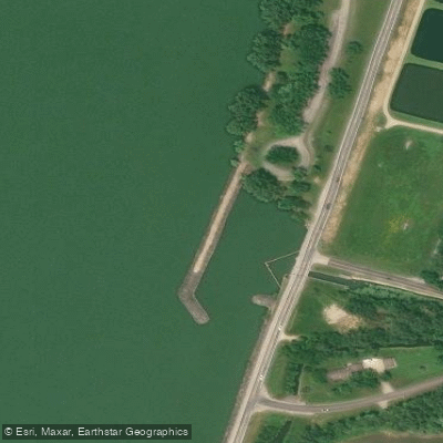
Grand Lake St Marys State Park Access
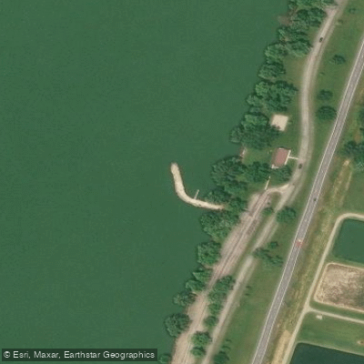
Grand Lake St Marys State Park Access
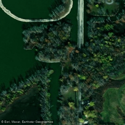
Grand Lake St Marys State Park Access
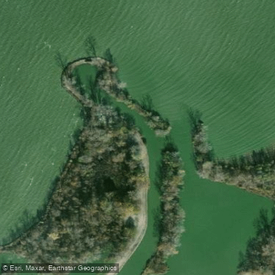
Grand Lake St Marys State Park Access
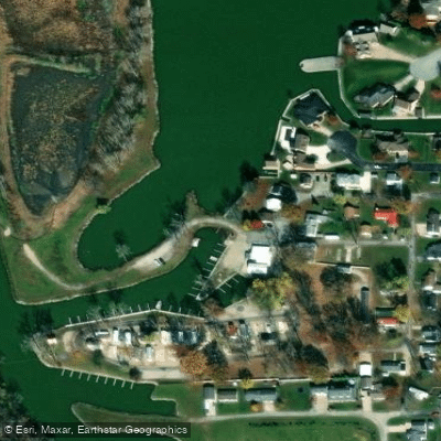
Park Grand Access
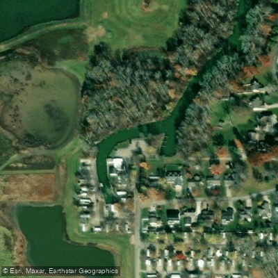
Access
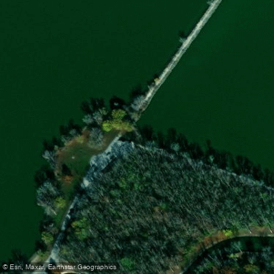
Grand Lake St Marys State Park Access
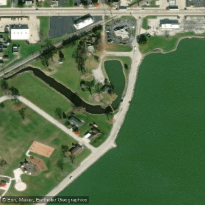
Pullman Bay Park Access
Paddle smarter with real-time insights
Whether you're en route and conditions shift or you're looking for the best spot based on current flows, we enable you to make informed decisions on the fly.








Find Places to Paddle

Over 400,000 Places to Paddle
Every user gets free access to launch points, boat ramps, and public property parcels.


Water and weather conditions (10 day forecast)
See the best times to paddle Grand Lake and check the forecast before you go.
Beaver Creek near Celina OH
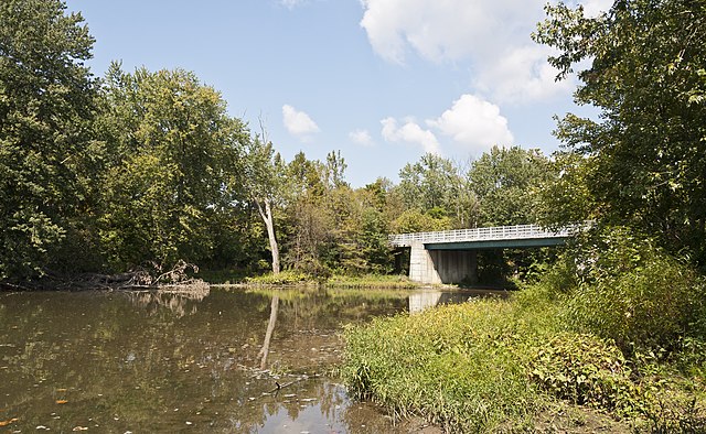
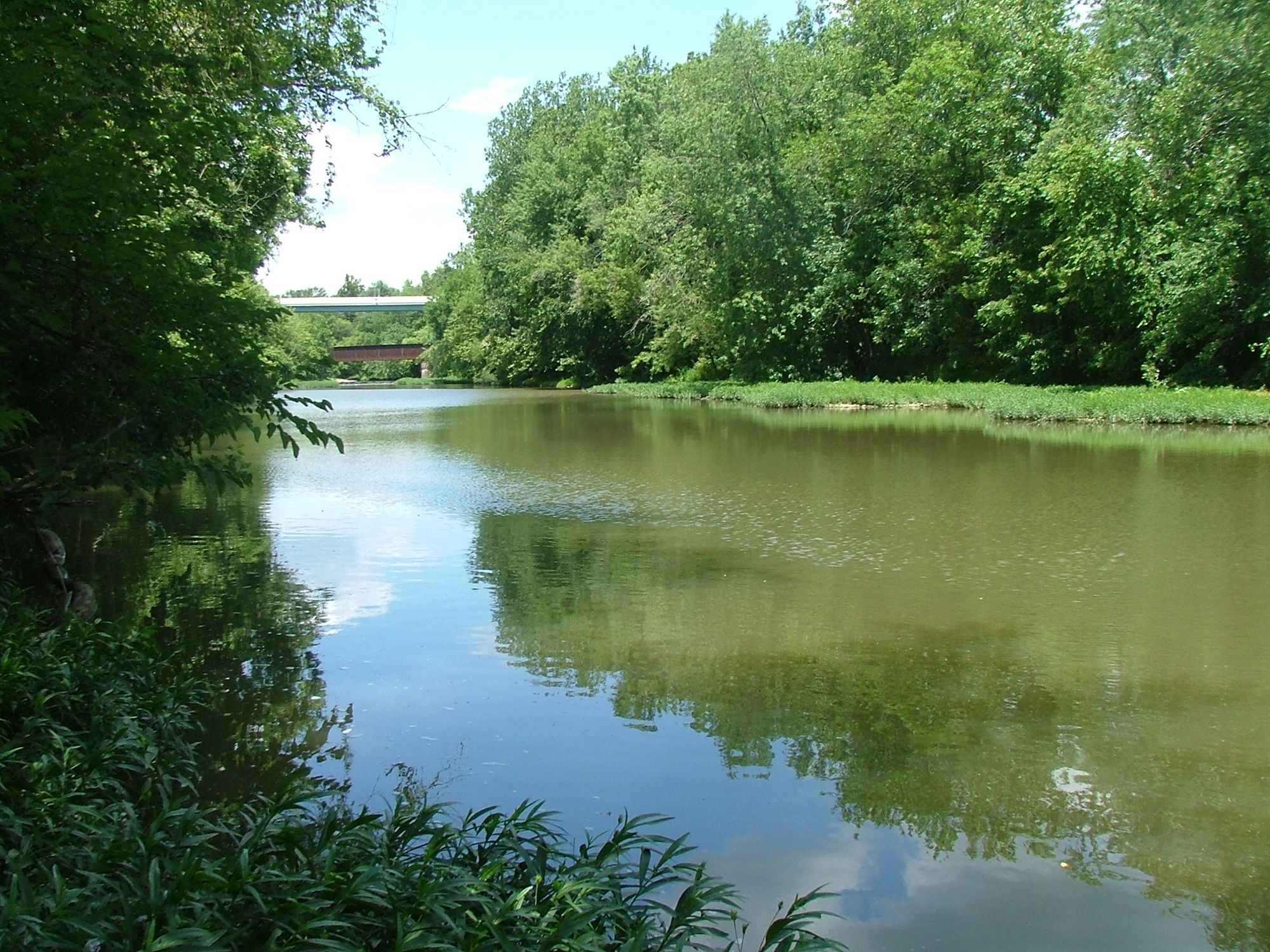
Paddling near Grand Lake

Explore Ohio waters
Top paddling waters
Popular Cities
Loading popular cities...
Explore near Grand Lake
Access points
- Village Of Montezuma Boat Ramp
- Campground Ramp
- Windy Point Boat Ramp
- Grand Lake St Marys State Park Boat Ramp
- Grand Lake St Marys State Park Boat Ramp
- Grand Lake St Marys State Park Boat Ramp
- Its It Boat Ramp
- Mercelina Park Boat Ramp
- West Bank Boat Ramp
- Freedom Outdoors Marina Boat Ramp
- Grand Lake St Marys State Park Access
- Grand Lake St Marys State Park Access
- All 133 spots
Nearby waters
More in Ohio

Smarter Paddling Starts in the App.
Paddleways gives you everything you need to plan smarter, paddle better, and own every trip from first launch to takeout.