Curated by PaddleWays
RouteClass I
- Distance
- 8.1 mi
- Paddle time
- ~2.5 hrs
- Best for
- Kayak
- Put-in → take-out
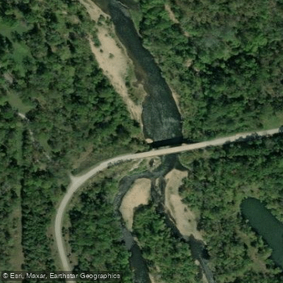
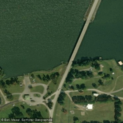
- Eucha Dam Access → Spavinaw Lake Access
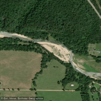
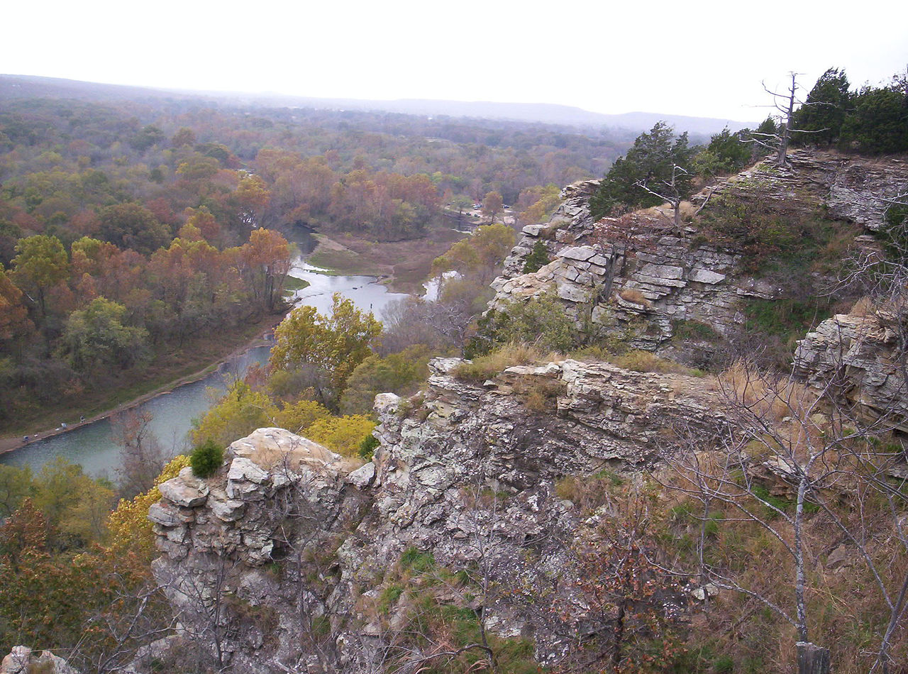
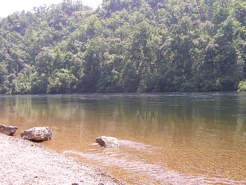
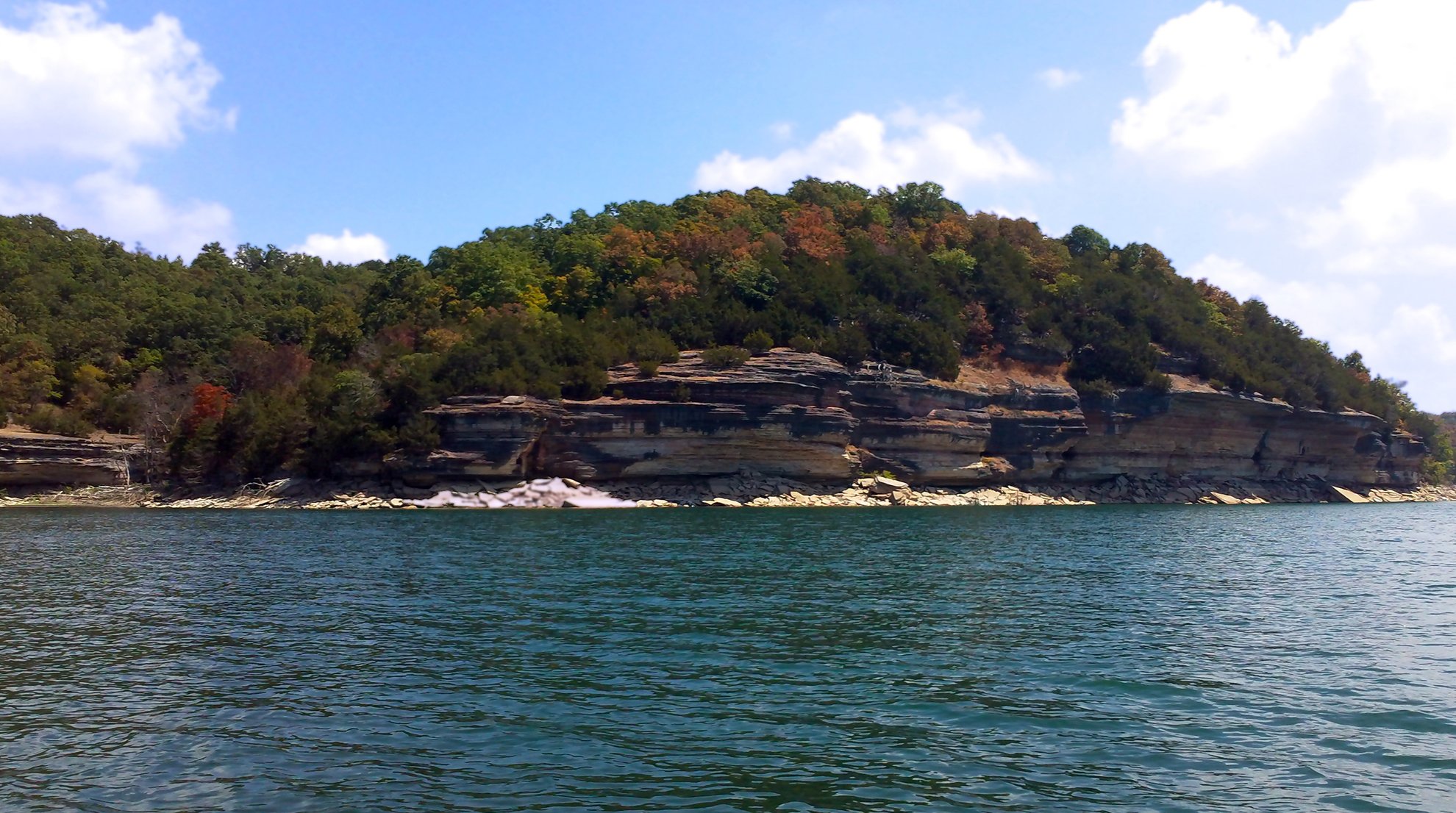
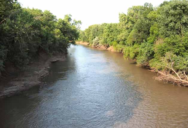
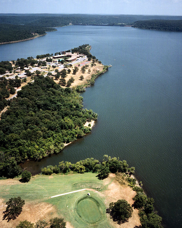
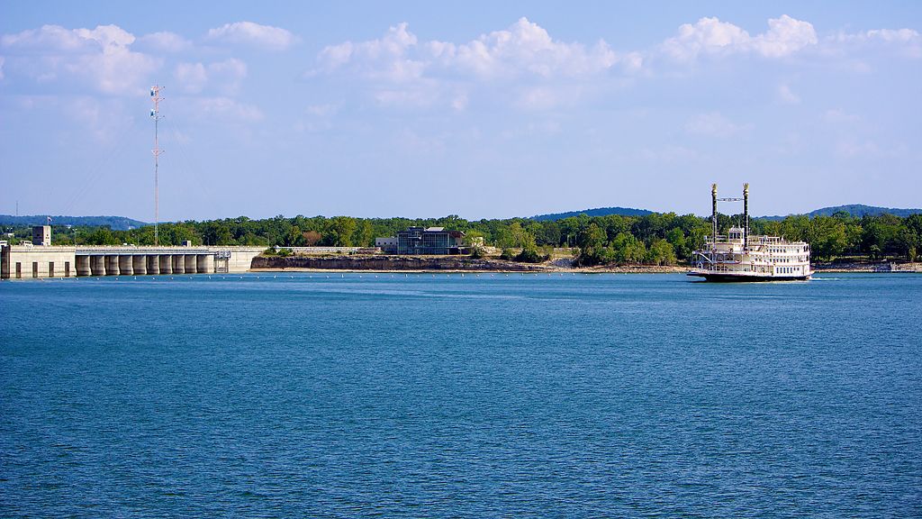
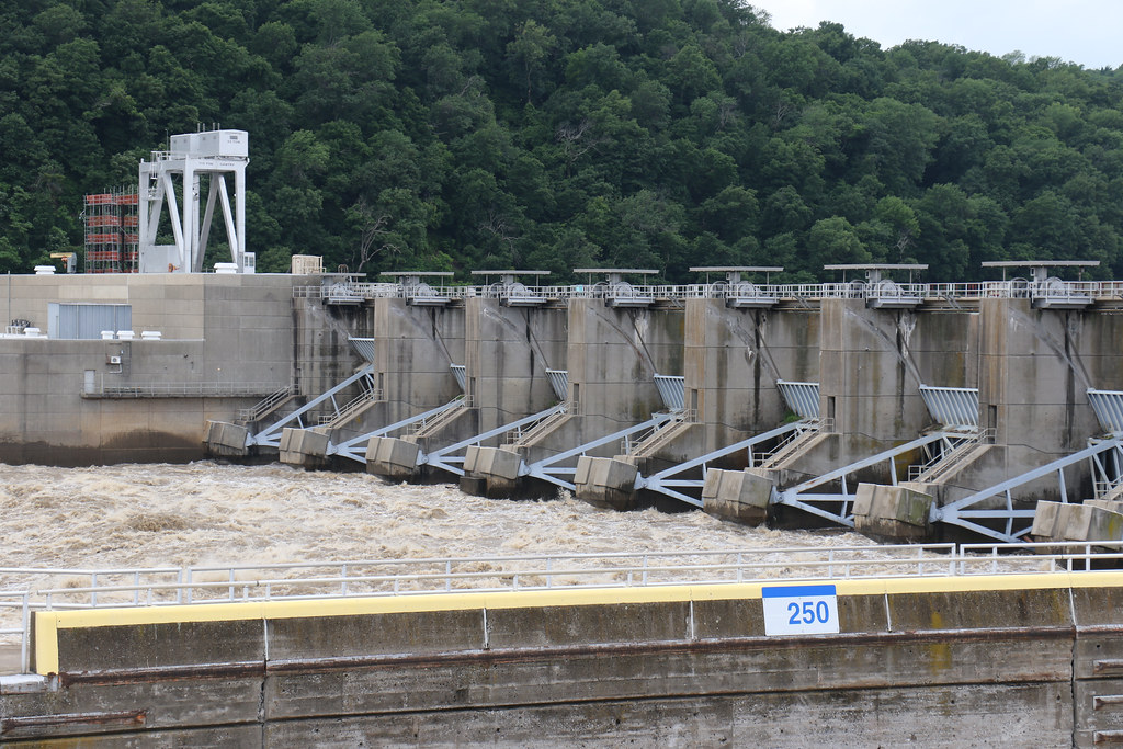
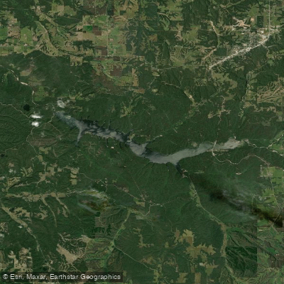
Spavinaw Creek is a scenic waterway in northeastern Oklahoma that offers paddlers a serene journey through the Ozark foothills. The creek originates in Arkansas and flows westward into Oklahoma, where it is impounded to form Lake Eucha and Lake Spavinaw before continuing its course. These reservoirs, created in the 1920s and 1950s respectively, serve as water supplies for the city of Tulsa. The most popular paddling section runs approximately 10-15 miles from below Eucha Dam to Spavinaw Lake. This stretch features mostly calm, crystal-clear waters suitable for beginners and intermediate paddlers, with difficulty ranging from flatwater to Class I.
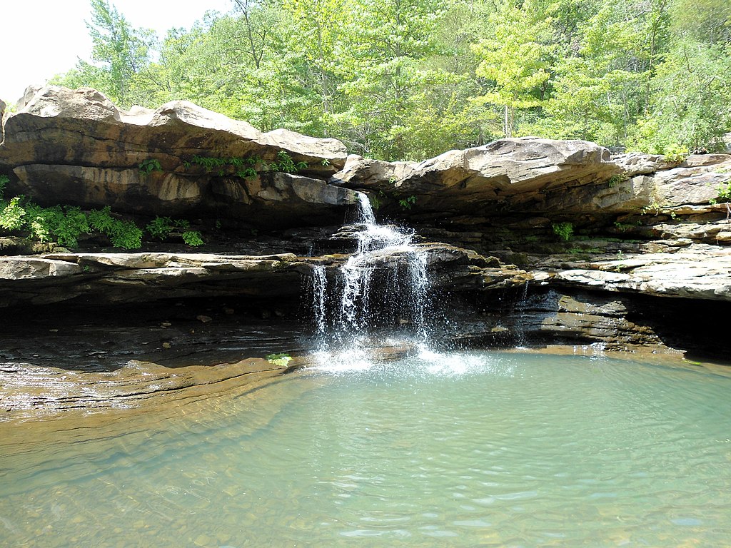
The creek winds through a picturesque landscape of forest-lined banks, creating a tranquil environment perfect for wildlife viewing and fishing. Paddlers can expect excellent opportunities to catch sunfish, smallmouth bass, and occasionally larger creek bass. The creek's numerous small sloughs offer quiet backwaters ideal for exploration and angling.
Spring and fall are the best seasons for paddling, when water levels are typically favorable and the surrounding foliage is at its most vibrant. Access points include the put-in below Eucha Dam and the take-out at Spavinaw Lake, marked by a flag. The nearby town of Spavinaw provides amenities and serves as a base for paddling adventures. Spavinaw Creek State Park, located just below the Spavinaw Lake spillway, offers camping facilities, hiking trails, and additional water access.
For more experienced paddlers, the Western Section accessed from the Highway 43 bridge presents a slightly more challenging run, though specific rapid information is limited. This area is known for quality fishing but requires careful navigation due to private property concerns.
The creek holds historical significance as part of the Spavinaw Water Project, which has supplied water to Tulsa since the 1920s. Today, it serves as both a vital water resource and a recreational gem, offering paddlers a chance to immerse themselves in the natural beauty of Oklahoma's Ozark region.
Safety considerations include checking water levels, especially after heavy rains, and being aware of submerged obstacles. Paddlers should respect private property boundaries and stay within the high water mark. While multi-day trips are possible, most excursions on Spavinaw Creek are day trips, allowing ample time to enjoy the creek's serene waters and abundant wildlife.
Curated routes
Hand-picked by the PaddleWays team, with put-ins, take-outs, paddle times and the hazards along the way.
RouteClass I
Hazards
No paddler has reported a hazard here yet, so these are the dams, falls and big rapids on our map. Hazards change with flows and storms, so check them before you launch.
From the community
Nobody has shared a trip on Spavinaw Creek yet. Paddle it, then tell the next paddler how it went.
See exactly where the public can get on and off the river. Launch points and boat ramps are paired with PaddleWays' public land data so you know where you can legally land.
Public shoreline
1%of the river's shoreline is public
Most of the riverbank is private. Launch, land and camp only at public access points.
Flows, weather and a route-by-route verdict, so you know which stretch of the Spavinaw Creek is worth paddling today.
All Flow Stations
Live flows, marked hazards and fresh trip reports from paddlers who were just on the water, all in one place.





Every user gets free access to launch points, boat ramps, and public property parcels.
Loading popular cities...
PaddleWays gives you everything you need to plan smarter, paddle better, and own every trip from first launch to takeout.