Curated by PaddleWays
RouteFlatwater
- Distance
- 27.1 mi
- Paddle time
- ~9 hrs
- Put-in → take-out
- Oologah Boat Ramp → Rogers Point Boat Ramp
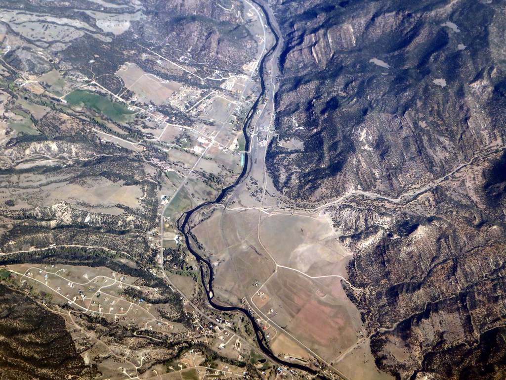
The Verdigris River is a scenic waterway that flows approximately 310 miles through southeastern Kansas and northeastern Oklahoma. This prairie river is part of the Mississippi River watershed via the Arkansas River, offering paddlers a diverse range of experiences from calm flatwater to occasional Class II rapids.
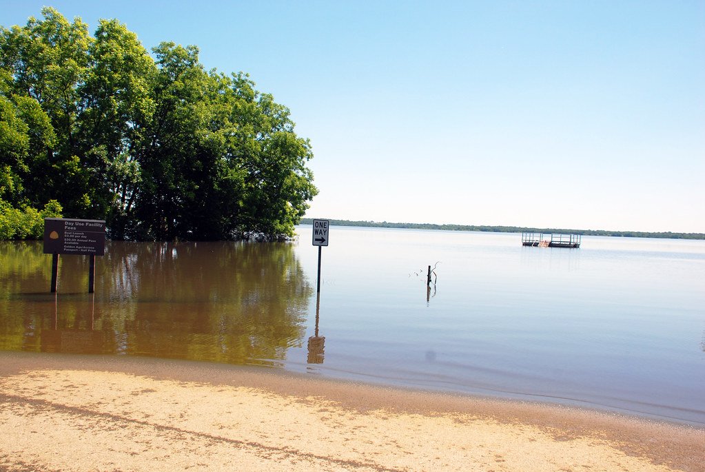
The river's journey begins near Toronto, Kansas, winding its way south through rolling hills and farmland before entering Oklahoma. Along its course, the Verdigris is impounded by several reservoirs, including Toronto Lake in Kansas and Oologah Lake in Oklahoma, which create unique paddling opportunities.
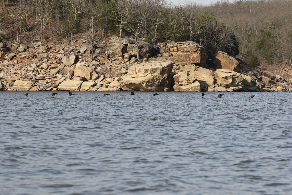
For kayakers and canoeists, the Verdigris offers a variety of sections suitable for different skill levels. The stretch below Oologah Lake Dam provides an ideal flatwater experience, perfect for beginners and families. Here, paddlers can enjoy a peaceful float through scenic landscapes, with ample opportunities for fishing and wildlife viewing.
As you progress downstream, the river becomes more challenging, with sections like Coffeyville to Oologah Lake offering Class II rapids that will appeal to more experienced paddlers. The best time to paddle the Verdigris is typically from late spring through early fall when water levels are most favorable. However, paddlers should always check current conditions, as heavy rains can quickly alter water levels and flow rates.
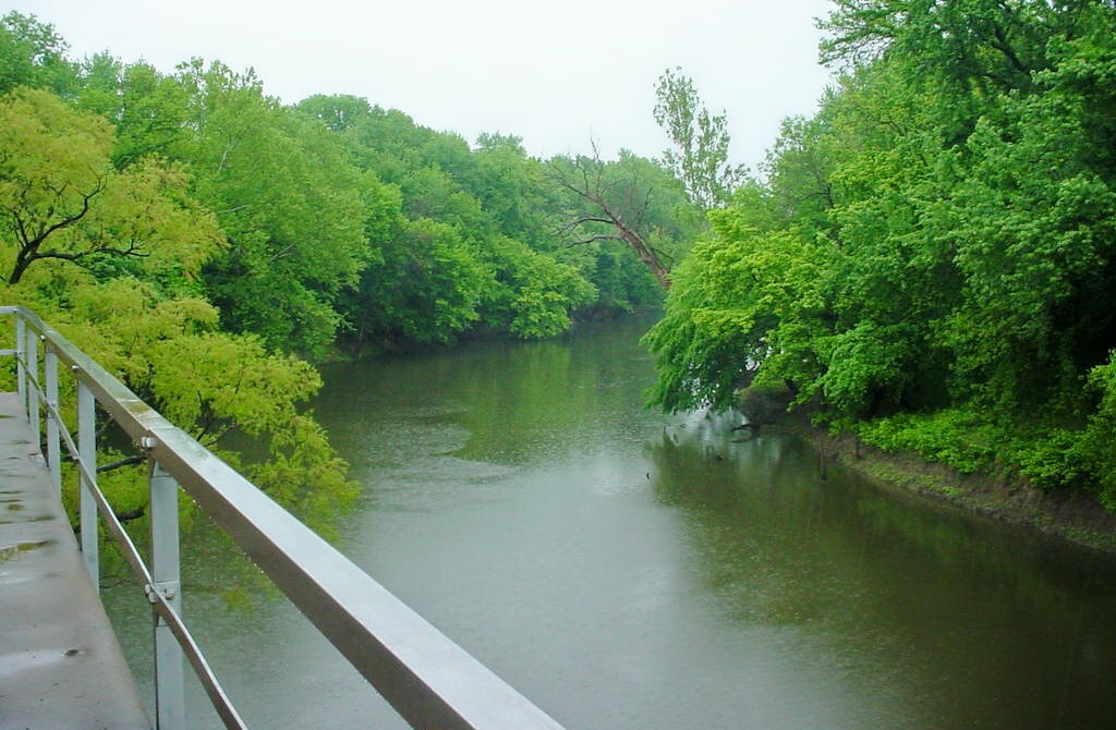
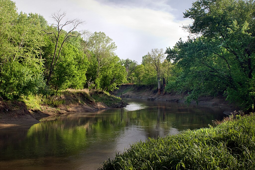
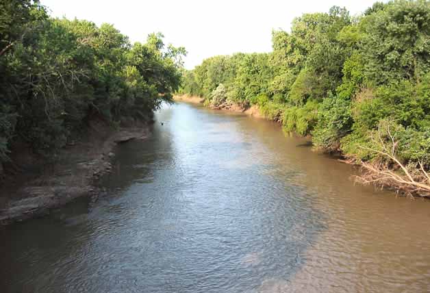
During summer, the river's tree-lined banks provide welcome shade and habitat for a variety of wildlife, including white-tailed deer, wild turkeys, and numerous bird species. Notable landmarks along the river include the historic town of Coffeyville, Kansas, and the Will Rogers Birthplace near Oologah, Oklahoma. These sites offer paddlers a chance to explore the region's rich cultural heritage.
The river also passes through or near several parks and wildlife areas, such as the Verdigris River Park and the Toronto Wildlife Area, which provide excellent access points and camping facilities for multi-day trips. For those planning extended journeys, a popular multi-day option is the 70-mile stretch from Coffeyville to Oologah Lake. This trip offers a mix of rural and more developed areas, providing a comprehensive Verdigris River experience. Paddlers should be prepared for potential portages around low-water dams, particularly near Coffeyville.
Safety is paramount on the Verdigris. Paddlers should be aware of potential hazards such as submerged logs, fluctuating water levels, and low-head dams. Always wear a life jacket and inform someone of your float plan. Additionally, be respectful of private property along the riverbanks and follow all local regulations regarding camping and river access.
The Verdigris River is not just a recreational resource; it's also an important part of the region's ecosystem and economy. The river supports a diverse fish population, including catfish, white bass, and crappie, making it a popular destination for anglers. Its waters also play a crucial role in the McClellan-Kerr Navigation System, supporting commercial navigation in the lower reaches.
Whether you're seeking a peaceful day float, an exciting whitewater adventure, or a multi-day river camping trip, the Verdigris River offers something for every paddler. Its blend of natural beauty, historical significance, and varied paddling conditions make it a true gem of the Midwest's waterways.
Curated routes
Hand-picked by the PaddleWays team, with put-ins, take-outs, paddle times and the hazards along the way.
RouteFlatwater
RouteFlatwater
RouteFlatwater
Hazards
No paddler has reported a hazard here yet, so these are the dams, falls and big rapids on our map. Hazards change with flows and storms, so check them before you launch.
From the community
Nobody has shared a trip on Verdigris River yet. Paddle it, then tell the next paddler how it went.
See exactly where the public can get on and off the river. Launch points and boat ramps are paired with PaddleWays' public land data so you know where you can legally land.
Public shoreline
0%of the river's shoreline is public
Most of the riverbank is private. Launch, land and camp only at public access points.
Flows, weather and a route-by-route verdict, so you know which stretch of the Verdigris River is worth paddling today.
All Flow Stations
Live flows, marked hazards and fresh trip reports from paddlers who were just on the water, all in one place.





Every user gets free access to launch points, boat ramps, and public property parcels.
Loading popular cities...
PaddleWays gives you everything you need to plan smarter, paddle better, and own every trip from first launch to takeout.