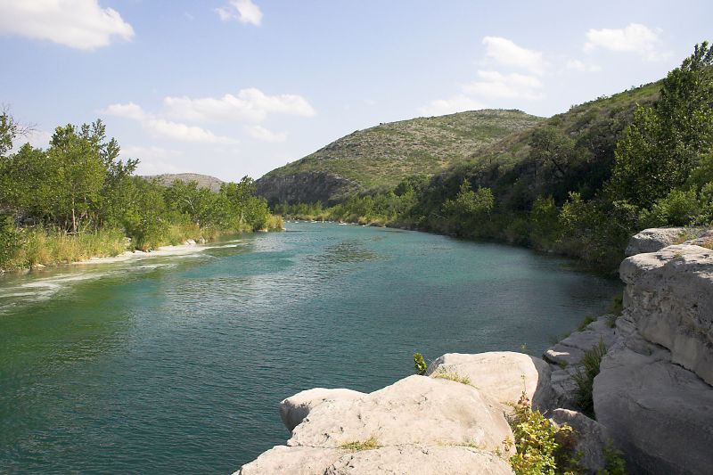
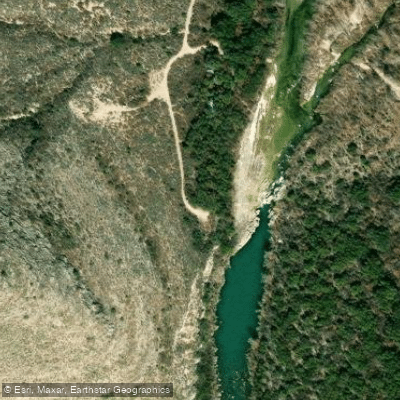
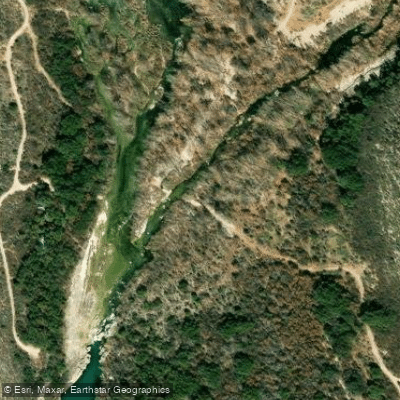
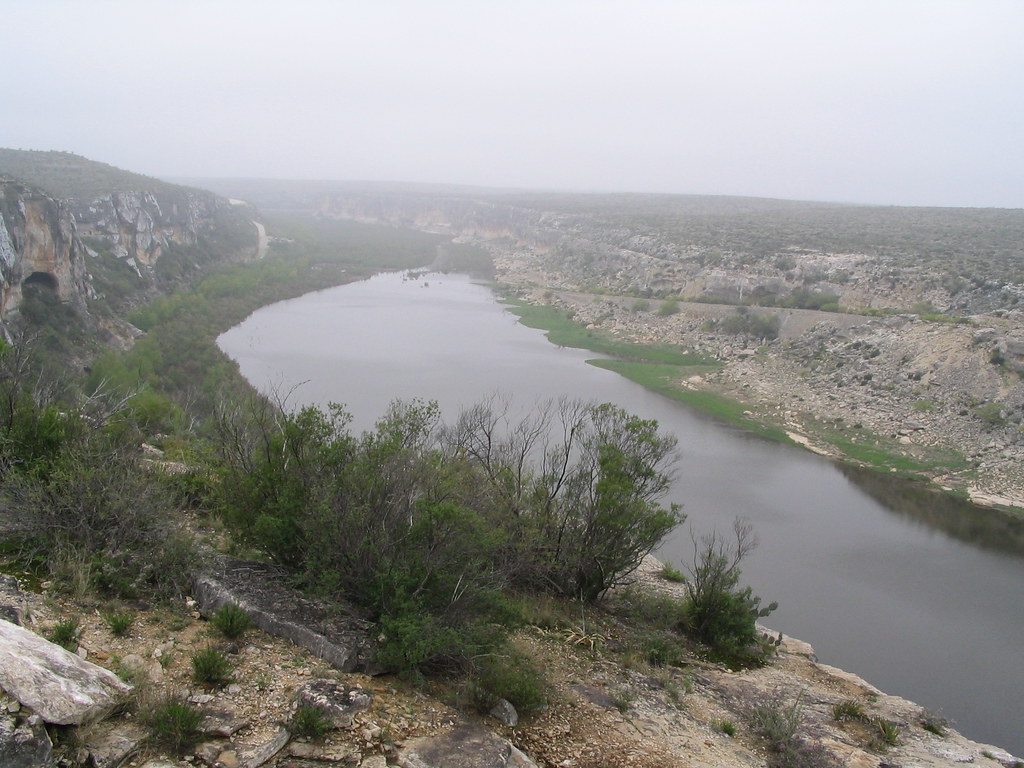
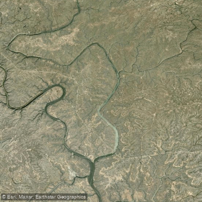
The Devils River rises in northwest Sutton County where six watercourses converge—Dry Devils River, Granger Draw, House Draw, Jackson, Flat Rock Draw, and Rough Canyon—then flows southwest for approximately 94 miles through Val Verde County before emptying into Amistad Reservoir near Del Rio. This spring-fed tributary of the Rio Grande cuts through limestone canyons and rugged desert terrain, maintaining exceptional water clarity as it filters through sand, gravel, and karst formations of the Edwards-Trinity Plateau Aquifer. The river remains intermittent through much of Sutton County, with perennial flow beginning at Pecan Springs (also called Headwater Springs) in northern Val Verde County. Major spring complexes including Finegan Springs, Blue Hole Spring, and Dolan Springs contribute substantial baseflow, with Finegan alone providing 23-71% of downstream discharge. These springs maintain water temperatures around 72-73°F year-round, creating stable aquatic habitat in an otherwise arid landscape.
Paddling opportunities concentrate in the 60-mile perennial reach from Pecan Springs to Amistad Reservoir. The most popular section runs 44 miles from Baker's Crossing (State Highway 163) to Rough Canyon Recreation Area, featuring Class I-III rapids, deep pools, and technical challenges requiring intermediate to advanced skills. Dolan Falls, located approximately 14 miles downstream from Baker's Crossing, presents a mandatory 15-foot portage. Three Tier Rapids downstream demands expert maneuvering, particularly during high flows when it reaches Class V difficulty. The river's remote character and technical demands make it unsuitable for beginners. Spring (March-May) and fall (October-November) offer optimal paddling conditions with moderate temperatures and reliable flows. Summer heat exceeds 98°F, while flash flooding poses serious hazards during rainstorms. The river's average discharge of 362 cubic feet per second can surge to over 122,000 cfs during extreme events.
The watershed supports remarkable biodiversity where Edwards Plateau, Chihuahuan Desert, and Tamaulipan Thornscrub ecoregions converge. Endemic species include the threatened Devils River minnow and endangered Texas hornshell mussel. Riparian corridors harbor sycamore, live oak, and mountain laurel alongside desert species like lechuguilla and ocotillo. Black-capped vireos, canyon wrens, and three kingfisher species inhabit the canyons, while smallmouth and largemouth bass provide exceptional fishing opportunities.
Rock shelters throughout the canyons preserve pictographs documenting 13,000 years of human habitation. Spanish explorers named it Rio San Pedro in the 1600s before Texas Ranger John C. Hays renamed it Devils River in 1848, referencing the treacherous terrain.
Access requires careful planning. Baker's Crossing on SH 163 serves as the primary put-in, located 20 miles north of Comstock. The Devils River State Natural Area operates two units—Del Norte and Dan A. Hughes—requiring advance permits ($10 Devils River Access Permit). Rough Canyon Marina on Amistad Reservoir provides the most common takeout, 12 miles from the river's mouth. Multi-day expeditions typically span 3-4 days, with designated paddle-in campsites at river miles 12 and 20. Private land dominates the corridor, making trespassing a serious concern. All visitors must pack out waste and respect the gradient boundary marking private property.