Paddling in Cumberland Island National Seashore
- National Seashore
- Lakes
- 3
- Rivers
- 7
- Access
- 0
- Boat Ramps
- 0
- Shops
- 0
Cumberland Island sits at the southern end of Georgia's barrier island chain, separated from the mainland and from Florida's Amelia Island by tidal waterways that demand respect.
The water here is not flatwater touring — it's a dynamic coastal environment shaped by tides that rise and fall 6 to 9 feet twice a day, generating strong currents that can work with you or against you depending on your timing.
The Georgia coast holds the second-highest tidal range on the East Coast, and Cumberland sits squarely in that system.
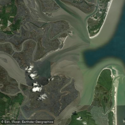
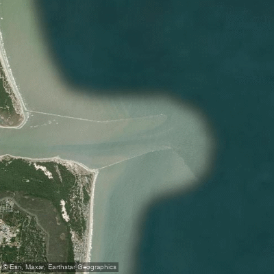
The paddling centers on the passages surrounding the island itself: Cumberland Sound to the south, where the island faces Amelia Island across a channel that carries heavy boat traffic and strong tidal flow; the St.
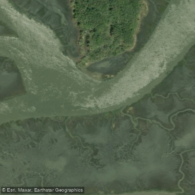
Marys River to the west, the route the ferry takes from the mainland visitor center to Dungeness dock, roughly seven miles of water shared with commercial vessels and, occasionally, nuclear submarines out of Kings Bay Naval Submarine Base; and the salt marshes and tidal creeks along the island's western shore, where the character of the paddling shifts from open-water crossings to quieter, more sheltered water.
A river on the island's east side — marked on charts without a name — runs inland for about two miles and is navigable at low tide for most of its length.
The most common approach is from Crooked River State Park, which positions paddlers to work with the tides rather than fight them on the crossing to Plum Orchard dock, about six miles out.
The Amelia Island crossing to the island's southern tip is shorter in distance but crosses Cumberland Sound at its most exposed point, with boat traffic, fixed navigation structures, and tidal currents that can overwhelm paddlers who underestimate the conditions.
Every source that describes this water rates it as Level 3 sea kayaking — transitional or sea kayak required, self-rescue and assisted-rescue skills expected. This is not a trip to learn on.
All kayakers 16 and older must pay the park entry fee when they step onto the island; self-pay stations are at each dock. Private boats under 25 feet can dock at Sea Camp, Dungeness, and Plum Orchard from sunrise to sunset — no overnight docking.
Motorized boats cannot be beached in the designated wilderness area; know the wilderness boundary before you go. Tidal planning is the single most important piece of preparation.
Check the tides, check the weather, and build your turnaround time around the current — not your energy level.
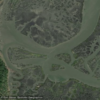
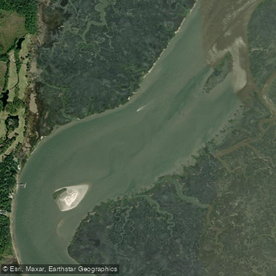
Top waters to paddle near Cumberland Island National Seashore
Water and weather conditions (10 day forecast)
See the best times to paddle Cumberland Island National Seashore and check the forecast before you go.
No forecast data available.
Park alerts & road status
Closures and conditions Cumberland Island National Seashore has posted, from the National Park Service.
Checking the park's alerts…
Hours & fees
When Cumberland Island National Seashore is open and what it costs to get in, from the National Park Service.
Hours
The park is open 24 hours a day, all year. The island is only accessible by boat. The visitor center, other facilities, ferry operations, and docks for private boats all have separate hours, however; please see descriptions of those facilities elsewhere.
Entrance fees
- Entrance - Per Person$15
- Cumberland Island National Seashore has a per-person entrance fee. This fee is waived for America the Beautiful pass holder plus three adults. Must present pass at time of check-in.
Parking & getting around
Where to leave the car in Cumberland Island National Seashore. Lots fill early on busy days, so plan where you will park before you head for the water.
Cumberland Island Visitor Parking
All visitors to Cumberland Island should park in the lot one block west of the Mainland Visitor Center. The tree covered lot is located on the block between Wheeler St. and Seagrove St., behind the park headquarters building. There are two entrances along St. Marys Street and one entrance along Stable Alley. Bus, RV, and over sized parking spaces are located along Seagrove Street.
Getting around
Cumberland Island is only accessible by ferry or private boat. These directions are to the mainland visitor center in St. Marys, GA. Driving Directions To reach the visitor center from Interstate 95: •Take Exit 3 for US 40 •Take US 40 East toward “Historic Downtown St. Marys” •US 40 becomes Osborne Rd. Continue on until you reach the waterfront •Turn right on St. Marys Rd •The visitor center will be two blocks down on your left (113 St. Marys St W, St Marys GA 31558)
Directions on nps.govPaddle smarter with real-time insights
Whether you're en route and conditions shift or you're looking for the best spot based on current flows, we enable you to make informed decisions on the fly.







Paddling near Cumberland Island National Seashore
Loading...
Other parks in Georgia
Gateway towns
Where to base yourself for paddling in Cumberland Island National Seashore.
The main gateway: the NPS visitor center and the only public ferry to Cumberland Island depart from downtown St. Marys.
The closest mainland town to St. Marys, offering hotels and lodging for visitors heading to the island ferry.
Cumberland Island National Seashore paddling rules
The park's own rules, on top of Georgia licenses and regulations. Limits, fees and closures change, so check the park's page before you go.

Vessel Size Limit
Private boats must be under 25 feet to dock at Cumberland Island. Docking is first come, first served and permitted only between sunrise and sunset. No overnight docking is allowed.

Pay the Park Entry Fee
All visitors arriving by private boat or kayak must pay the park entry fee or carry a valid America the Beautiful pass. Self-pay stations are available at each dock.

No Motored Beaching in Wilderness
Motorized boats cannot be beached within the designated wilderness area. Check the park map to know the wilderness boundary before you go.

Plan Around Strong Tides
Tidal currents rise and fall 6 to 9 feet twice a day around Cumberland Island. Study the correct tide station for your launch and arrival points before heading out.
Explore Cumberland Island National Seashore
Top paddling waters
Popular Cities
Loading popular cities...

Smarter Paddling Starts in the App.
Paddleways gives you everything you need to plan smarter, paddle better, and own every trip from first launch to takeout.