Cumberland River
- Saltwater
- Tidal river
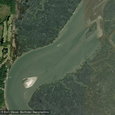
Cumberland River
- Saltwater
- Tidal river
- Sq. miles
- 0.7
- Boat Ramps
- 0
- Access Points
- 0
- Campsites
- 3
The Cumberland River in Tennessee and Kentucky offers a diverse range of paddling experiences, from urban excursions to remote wilderness floats. In downtown Nashville, a popular and beginner-friendly route is the 3-mile, one-way paddle from the Shelby Park Boat Ramp in East Nashville to Nissan Stadium. This urban section provides unique views of the Nashville skyline, passing under several bridges. The Shelby Park Boat Ramp is a paved public access point with free parking, though trailer parking can fill on busy weekends. Outfitters in Nashville offer kayak and stand-up paddleboard rentals and guided services for this route, which typically takes about one hour of paddling time. This area is shared with larger commercial and recreational boats, requiring paddlers to be alert to traffic.
Upstream in Kentucky, the river's character changes significantly. The section upstream of Cumberland Falls, within the Daniel Boone National Forest, is a remote and scenic 17-mile stretch featuring shoals and mild Class I and II whitewater rapids. This area is known for its rugged hills, large boulders, and a more challenging, technical paddle, especially at lower water levels where dragging over shoals may be necessary. Ideal paddling flows are between 500 and 1,100 cubic feet per second, with higher flows creating more challenging conditions. Access points for this remote float include the Redbird Boat Ramp on KY 478. Another distinct area is the first 16 miles below Wolf Creek Dam at Lake Cumberland, which is known for a powerful current when the dam is generating electricity, but can be ideal for small boats during low water flows. This section includes several mild shoals suitable for beginners to develop skills. Paddlers must wear a personal flotation device at all times on Kentucky waters. The river is home to wildlife such as blue herons, turtles, and kingfishers, particularly noted along the Nashville route.
Water access, boat ramps & amenities
Learn how to get on Cumberland River. Uncover great paddling access points, boat ramps, and all the facilities you need for an unforgettable day on the water. Some locations shown may border or include private property. Always check property boundaries and applicable regulations before visiting. PaddleWays's Public & Private Land layer can help you plan your access with confidence.
Paddle smarter with real-time insights
Whether you're en route and conditions shift or you're looking for the best spot based on current flows, we enable you to make informed decisions on the fly.








Find Places to Paddle

Over 400,000 Places to Paddle
Every user gets free access to launch points, boat ramps, and public property parcels.


Tides, wind & water conditions (10 day forecast)
On open water, wind and tide matter as much as the weather. See the best times to paddle Cumberland River and check the marine forecast before you launch.
Loading tide predictions…
Paddling near Cumberland River

Saint Johns River
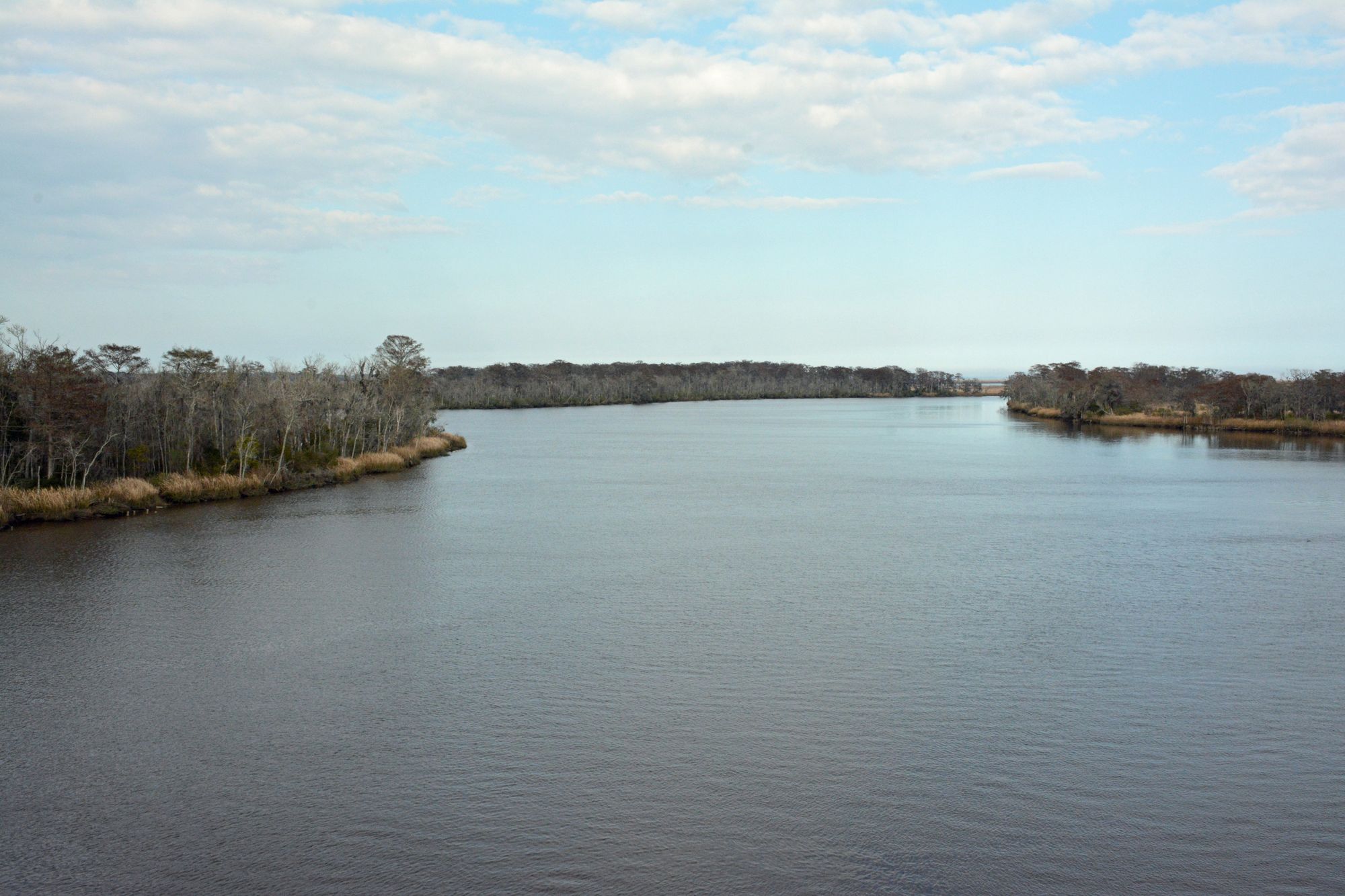
Altamaha River
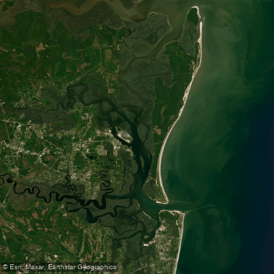
Cumberland Sound
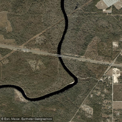
Suwannee River
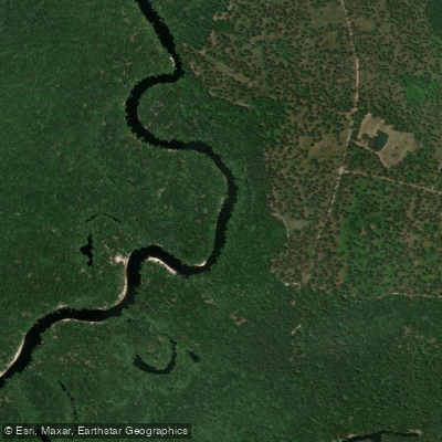
Saint Marys River
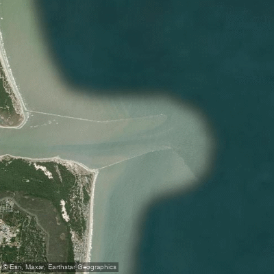
Saint Marys Entrance
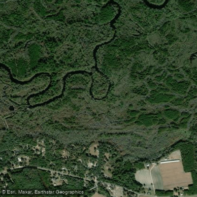
Satilla River
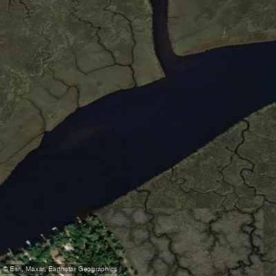
Nassau River
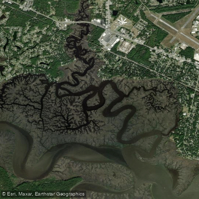
Burrells Creek
Crooked River
Explore Georgia waters
Top paddling waters
Popular Cities
Loading popular cities...
Explore near Cumberland River
Access points
Nearby waters
More in Georgia

Smarter Paddling Starts in the App.
Paddleways gives you everything you need to plan smarter, paddle better, and own every trip from first launch to takeout.