Saint Andrew Sound
- Saltwater
- Sound
Saint Andrew Sound
- Saltwater
- Sound
- Sq. miles
- 12
- Boat Ramps
- 0
- Access Points
- 0
- Campsites
- 1
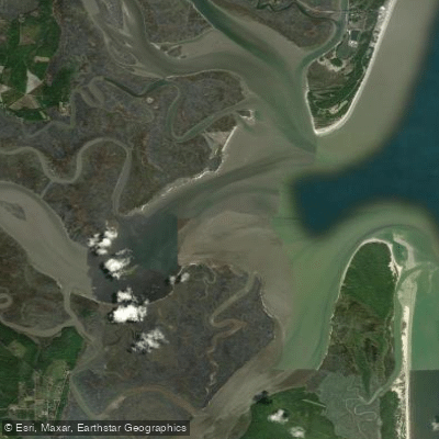
Saint Andrew Sound is a large, shallow saltwater lagoon located in Bay County, Florida, near Panama City and Mexico Beach. It is approximately ten miles long and one mile wide, covering about 4,707 acres. The sound is bordered almost entirely by Tyndall Air Force Base, which has kept the shoreline unaltered and contributed to stable seagrass beds. For paddlers, the sound's shallow depth makes it suitable for kayaks and small boats, but its large expanse of open water is exposed to high winds, creating potentially dangerous conditions. A significant hazard is the strong tidal current; one account describes a paddler being overtaken by whirlpools where incoming tide met river currents while attempting to cross from Jekyll Island to Cumberland Island in Georgia, a distance of over three miles. This highlights that the sound connects to a broader coastal system, and the official Georgia Coast Saltwater Paddle Trail advises using backwater creeks to avoid the open sound. While no specific public launch points within the sound itself are detailed, the Florida Circumnavigational Saltwater Paddling Trail lists it as a waypoint, and access is likely managed in conjunction with the military base. The area is noted for its natural, undeveloped character due to the Air Force presence, featuring barrier peninsulas that separate it from the Gulf of Mexico. Paddlers should be prepared for significant boat traffic crossings when navigating near channels and must exercise extreme caution regarding wind, fetch, and tidal timing.
Water access, boat ramps & amenities
Learn how to get on Saint Andrew Sound. Uncover great paddling access points, boat ramps, and all the facilities you need for an unforgettable day on the water. Some locations shown may border or include private property. Always check property boundaries and applicable regulations before visiting. PaddleWays's Public & Private Land layer can help you plan your access with confidence.
Paddle smarter with real-time insights
Whether you're en route and conditions shift or you're looking for the best spot based on current flows, we enable you to make informed decisions on the fly.








Find Places to Paddle

Over 400,000 Places to Paddle
Every user gets free access to launch points, boat ramps, and public property parcels.


Tides, wind & water conditions (10 day forecast)
On open water, wind and tide matter as much as the weather. See the best times to paddle Saint Andrew Sound and check the marine forecast before you launch.
Loading tide predictions…
Paddling near Saint Andrew Sound

Saint Johns River
Altamaha River
Cumberland Sound
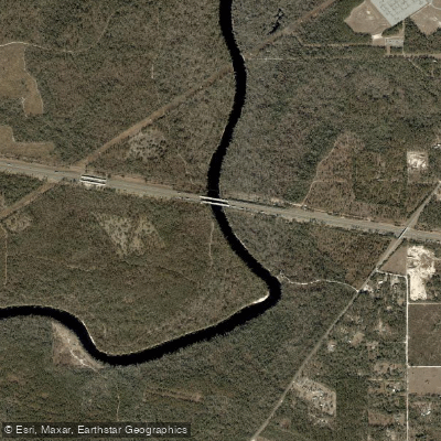
Suwannee River
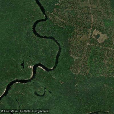
Saint Marys River
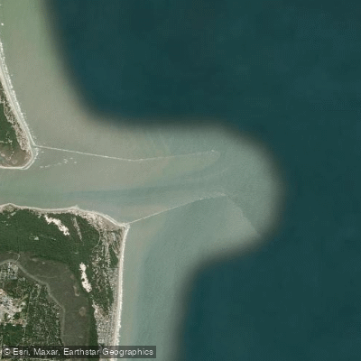
Saint Marys Entrance
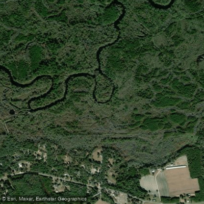
Satilla River
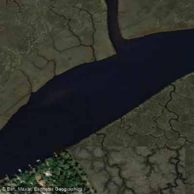
Nassau River
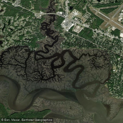
Burrells Creek
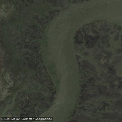
Crooked River
Explore Georgia waters
Top paddling waters
Popular Cities
Loading popular cities...
Explore near Saint Andrew Sound

Smarter Paddling Starts in the App.
Paddleways gives you everything you need to plan smarter, paddle better, and own every trip from first launch to takeout.