Paddling in Lower Saint Croix National Scenic Riverway
- National Wild & Scenic River
- Lakes
- 4
- Rivers
- 6
- Access
- 2
- Boat Ramps
- 9
- Shops
- 0
The Lower Saint Croix is a wide, flatwater river — not a wilderness creek but a genuine river corridor, broad enough to feel the wind and busy enough on summer weekends to share the water with motorboats.
This is the downstream half of the Saint Croix National Scenic Riverway: the lower 52 miles of the St.
Croix, running from Taylors Falls, Minnesota south to the confluence with the Mississippi near Prescott, Wisconsin, managed cooperatively by the National Park Service, the Minnesota DNR, and the Wisconsin DNR.
The character of this stretch is shaped by its geography. Below Taylors Falls the river widens and slows, and motorized boat traffic increases as you move downstream toward Stillwater and beyond.
The upper portion of the lower river — from Taylors Falls down through Osceola — runs cleaner and quieter, with glassy water moving well enough that you're paddling with the current rather than against it.
The NPS safety brochure notes that conditions can range from fast-moving currents with waves up to 3 feet high, so checking river levels before launching is not optional. Cell service is spotty on some stretches; leave a trip plan with someone before you go.
Day trips and multi-day kayak or canoe camping trips are both well-suited to this section. Osceola Landing, roughly 10 miles below Taylors Falls, has bathrooms and fresh water — a reliable midday stop.
Primitive NPS campsites sit along the banks and on islands throughout the corridor, accessible only by water and available first-come, first-served. One permit requirement applies: if you plan to camp on the St.
Croix River between Highway 8 and the Soo Line High Bridge, a free annual Camping Permit is required, issued by the NPS. If your put-in or take-out involves a state park landing, you'll need a state park entrance sticker unless you're using an outfitter.
Shuttles matter here. The 26-mile run from Taylors Falls to Stillwater is a common two-day trip, and outfitters along the corridor provide both equipment and shuttle services. Vehicles can be left overnight in Riverway parking lots.
September brings lower crowds and the first color in the maples and birches along the banks; the river was added to the Wild and Scenic system in 1972 specifically because of its scenic character, and that character holds even this close to the Twin Cities.
The Lower Saint Croix won't give you whitewater, but it will give you a protected river corridor within reach of a major metro — and on a quiet Tuesday in early October, with the current doing some of the work and the islands to yourself, that's enough.
Top waters to paddle near Lower Saint Croix National Scenic Riverway
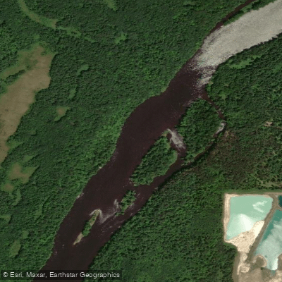
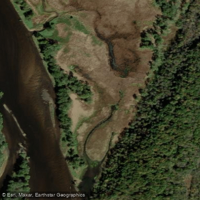
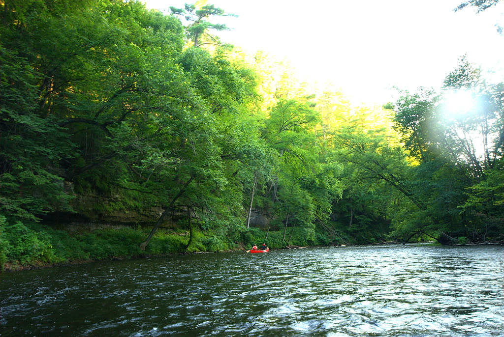
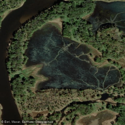
Water and weather conditions (10 day forecast)
See the best times to paddle Lower Saint Croix National Scenic Riverway and check the forecast before you go.
No forecast data available.
Paddle smarter with real-time insights
Whether you're en route and conditions shift or you're looking for the best spot based on current flows, we enable you to make informed decisions on the fly.







Paddling near Lower Saint Croix National Scenic Riverway
Loading...
Gateway towns
Where to base yourself for paddling in Lower Saint Croix National Scenic Riverway.
Gateway town at the upper end of the Lower Riverway, with outfitters, canoe rentals, and river access on the Minnesota side.
Across the river from Taylors Falls, home to the NPS visitor center and a main hub for riverway information and access.
Historic town near the lower end of the riverway with lodging, boat launches, and services for river visitors.
Lower Saint Croix National Scenic Riverway paddling rules
The park's own rules, on top of Minnesota licenses and regulations. Limits, fees and closures change, so check the park's page before you go.

Life Jackets Required Onboard
Every vessel must carry a properly fitting US Coast Guard approved life jacket for each person. Children under 13, including infants, must wear one at all times on the water.

PWC and Airboats Prohibited
Personal watercraft and airboats are banned on the St. Croix River from Boom Site Landing north to Gordon Dam, and on the entire Namekagon River. Check the park site for exact boundary details.

Slow Speed Zones South of Highway 8
Motorboats must operate at slow speed or slow-no-wake in specific areas south of Highway 8 on the St. Croix. Rules tighten further when the Stillwater gauge hits a set water level. Check the park site for current zone details.

Camping Permit Between Hwy 8 and High Bridge
A free annual camping permit is required for overnight stays on the St. Croix River between Highway 8 and the Soo Line High Bridge. Pick one up before your trip.

State Park Sticker at Some Landings
If you launch from a landing inside a state park, you need a state park entrance sticker unless you are using a licensed outfitter.
Explore Lower Saint Croix National Scenic Riverway
Top paddling waters
Popular Cities
Loading popular cities...

Smarter Paddling Starts in the App.
Paddleways gives you everything you need to plan smarter, paddle better, and own every trip from first launch to takeout.