Paddling in Mississippi National River and Recreation Area
- National River
- Lakes
- 19
- Rivers
- 15
- Access
- 34
- Boat Ramps
- 23
- Shops
- 0
The Mississippi National River and Recreation Area is an urban river park — not wilderness, not whitewater — threading 72 miles of the Mississippi through the Twin Cities metro.
The paddling here is moving flatwater on one of North America's great rivers, read against a backdrop that shifts from wooded bluffs and backwater sloughs to downtown Minneapolis and Saint Paul.
That urban context is part of what makes it distinct: this is a working river, shared with commercial traffic, motorized recreation, and strong currents that change with every rain event.
The park's National Water Trail runs roughly 76 miles and anchors all the paddling. PaddleShare, a self-serve kayak rental system, has organized the trail into named routes that give paddlers a practical framework.
The Nature route runs from Mississippi Gateway Regional Park down to North Mississippi Regional Park. The Gorge route moves through one of the river's more dramatic stretches, from Bohemian Flats Park to the Minneapolis Rowing Club near Lake Street Bridge.
A station at Pickerel Lake, inside Lilydale Regional Park in Saint Paul, gives newer paddlers a calmer option off the main channel. These routes are one-way, downstream — the current does real work here, and paddlers should plan accordingly.
Multi-day trips are possible. The NPS manages eight islands along the water trail open to dispersed camping, with no facilities — no tent pads, no fire grates, no toilets. Pack everything in, pack everything out, including human waste.
Anoka County runs primitive camping at designated sites on two of its own islands. Camping is prohibited on NPS lands in the core urban areas, including Island 108. 01 and Islands 111. 01 and 111. 02.
Check the Superintendent's Compendium before you go; regulations govern both camping and food storage under 36 CFR §2. 10. Three major portages and three operating locks break up the full length of the trail.
Knowing where they fall matters before you commit to a multi-day itinerary. Currents around locks, dams, and snags can be serious, and conditions shift fast with upstream precipitation. Check river levels before every trip.
The NPS runs its own guided kayak and canoe programs through the season at low or no cost — worth checking the park calendar. Rangers at the visitor center can speak to current conditions in a way no map can.
This river rewards paddlers who treat it as the dynamic, consequential waterway it is.
Top waters to paddle near Mississippi National River And Recreation Area
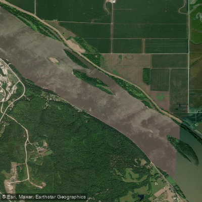
Mississippi River
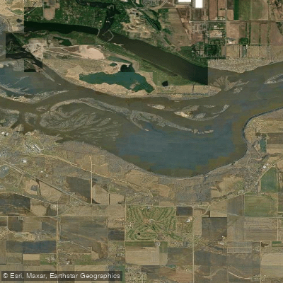
Spring Lake
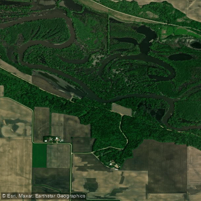
Minnesota River
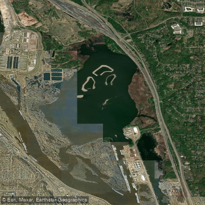
Pigs Eye Lake
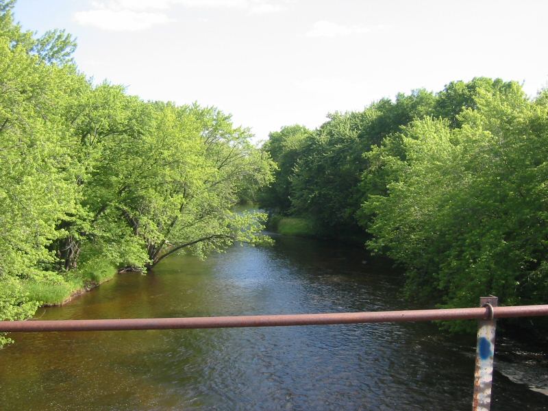
Rum River
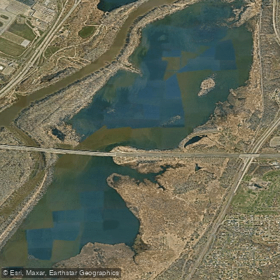
Gun Club Lake
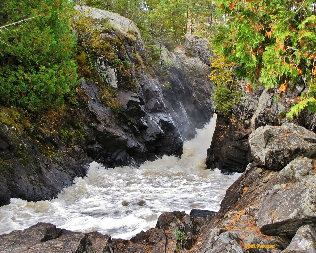
Vermillion River
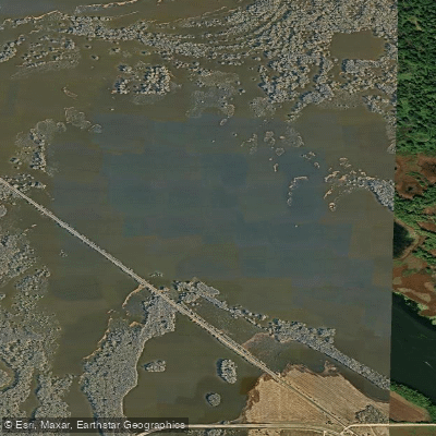
Sharp Muskrat Lake
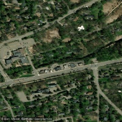
Minnehaha Creek
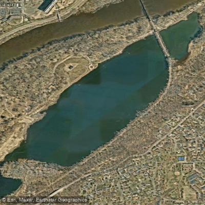
Pickerel Lake
Water and weather conditions (10 day forecast)
See the best times to paddle Mississippi National River and Recreation Area and check the forecast before you go.
No forecast data available.
Paddle smarter with real-time insights
Whether you're en route and conditions shift or you're looking for the best spot based on current flows, we enable you to make informed decisions on the fly.







Paddling near Mississippi National River and Recreation Area
Loading...
Gateway towns
Where to base yourself for paddling in Mississippi National River and Recreation Area.
Home to the Mississippi River Visitor Center inside the Science Museum of Minnesota, the park's main hub for trip planning.
Anchors the northern end of the park corridor with access to St. Anthony Falls and multiple river trails and launch points.
Gateway to Mississippi Gateway Regional Park and the Coon Rapids Dam, with shoreline fishing and trail access along the river.
Mississippi National River and Recreation Area paddling rules
The park's own rules, on top of Minnesota licenses and regulations. Limits, fees and closures change, so check the park's page before you go.

Always Wear Your PFD
Wear your life jacket at all times on the water. By law, children aged 10 and younger must wear a PFD unless they are below decks of a larger boat.

Avoid High Water Conditions
Stay off the river during high water. Fast currents can sweep boats into flooded timber, and floodwaters often carry massive logs and other dangerous floating debris.

Watch for Dams and Hazards
Avoid wing and closing dams in all watercraft, including canoes, and avoid stumpfields in motorized boats. Even small drops can create hydraulics that trap people underwater.

Know the Shipping Channel
The nine-foot shipping channel ends below the I-694 crossing. Use extra caution boating upstream of that point, especially during low water when rocks and debris may be hidden.

River Camping Requires Preparation
Dispersed camping is allowed on select NPS-managed islands. You must pack out everything including human waste, as no facilities are provided. Check the park for current regulations before your trip.
Explore Mississippi National River and Recreation Area
Top paddling waters
Popular Cities
Loading popular cities...

Smarter Paddling Starts in the App.
Paddleways gives you everything you need to plan smarter, paddle better, and own every trip from first launch to takeout.