Saint Croix River
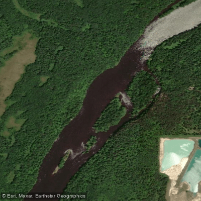
Saint Croix River
- Boat Ramps
- 25
- Access Points
- 31
- Campsites
- 53
The Saint Croix River is a scenic and historically significant waterway that forms part of the border between Minnesota and Wisconsin. Originating near Solon Springs, Wisconsin, it flows south for approximately 169 miles before joining the Mississippi River at Prescott, Wisconsin. Major tributaries include the Namekagon, Kettle, Snake, and Apple rivers.
The Saint Croix offers diverse paddling opportunities suitable for various skill levels. The upper reaches from Gordon Dam to Highway 70 feature occasional Class I-II rapids, making it ideal for intermediate paddlers. Below Highway 70, the river widens and slows, providing calm flatwater sections perfect for beginners and families. The 26.6-mile stretch from Taylors Falls to Stillwater is particularly popular, offering stunning scenery and easy paddling.
Water levels are generally most favorable for paddling from late spring through early fall. Spring can bring high water and faster currents, while late summer may require more portaging in shallow areas. Fall offers spectacular foliage views but cooler temperatures.
The river corridor supports a rich ecosystem, including bald eagles, ospreys, great blue herons, and numerous fish species. Towering white pines, maples, and oaks line the banks, especially in the upper sections.
Key landmarks include the dramatic rock formations at Interstate State Park, the historic Boom Site near Stillwater, and the scenic overlook at the former Nevers Dam site. The river passes through or near several state parks, offering additional recreational opportunities.
Major access points include Gordon Dam, Riverside Landing, Highway 70 Landing, Interstate State Park in Taylors Falls, William O'Brien State Park, and the Boom Site Landing near Stillwater. These provide convenient put-in and take-out locations for day trips or multi-day adventures.
The Saint Croix played a crucial role in the logging industry during the 19th century and was one of the first rivers designated under the National Wild and Scenic Rivers Act in 1968. Today, it's managed as part of the Saint Croix National Scenic Riverway, preserving its natural and cultural heritage.
Paddlers should be aware of changing river conditions, especially in rapids and near fallen trees. A permit is required for camping between Taylors Falls and north of Stillwater. Multi-day trips are popular, with numerous campsites available along the river.
For those seeking an extended journey, a week-long paddle from Highway 70 to the Boom Site Landing covers approximately 65 miles, offering a comprehensive Saint Croix experience through varied landscapes and ecosystems.
Water access, boat ramps & amenities
Learn how to get on Saint Croix River. Uncover great paddling access points, boat ramps, and all the facilities you need for an unforgettable day on the water. Some locations shown may border or include private property. Always check property boundaries and applicable regulations before visiting. PaddleWays's Public & Private Land layer can help you plan your access with confidence.
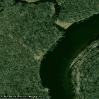
St. Croix River Mouth of Sand Creek Access
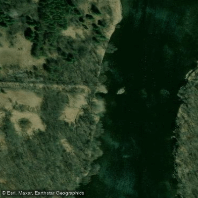
St. Croix River, Old Railroad Bridge Public Water Access Site
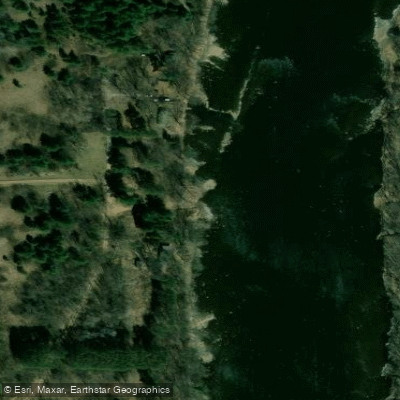
St. Croix River, Ferry Public Water Access Site
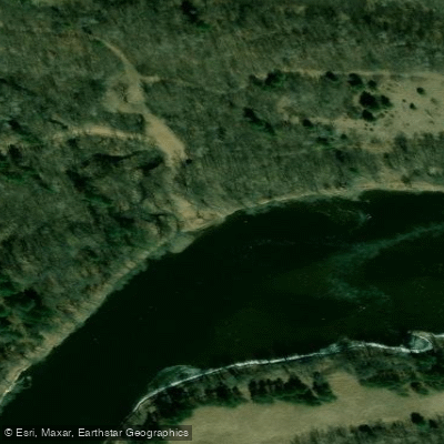
Stevens Creek Public Water Access Site
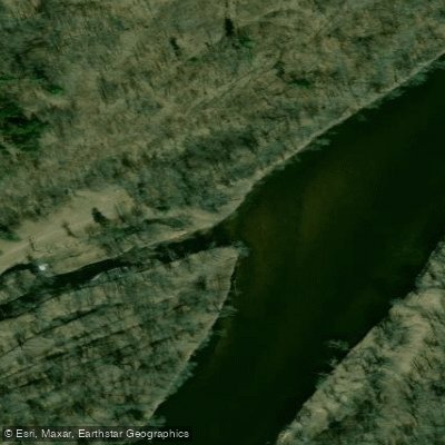
St. Croix River, Little Yellow Banks Public Water Access Site
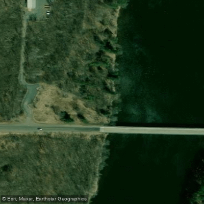
St. Croix River, #6 Public Water Access Site
Paddle smarter with real-time insights
Whether you're en route and conditions shift or you're looking for the best spot based on current flows, we enable you to make informed decisions on the fly.








Find Places to Paddle

Over 400,000 Places to Paddle
Every user gets free access to launch points, boat ramps, and public property parcels.


Water and weather conditions (10 day forecast)
See the best times to paddle Saint Croix River and check the forecast before you go.
ST. CROIX RIVER NEAR DANBURY, WI
All Flow Stations
Paddling near Saint Croix River
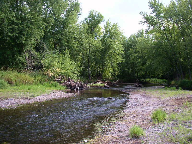
Sunrise River
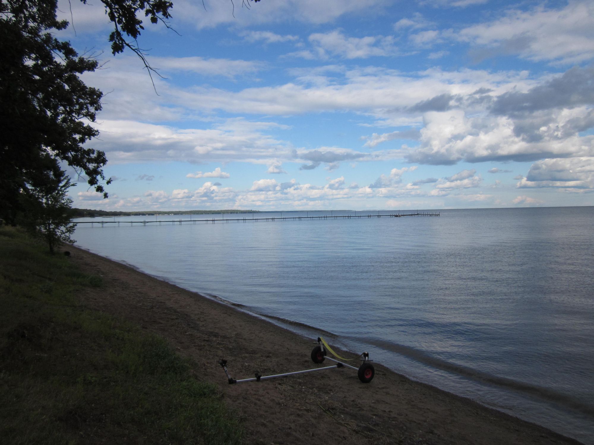
Mille Lacs Lake
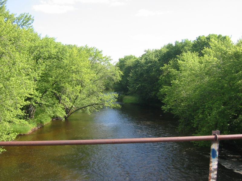
Rum River
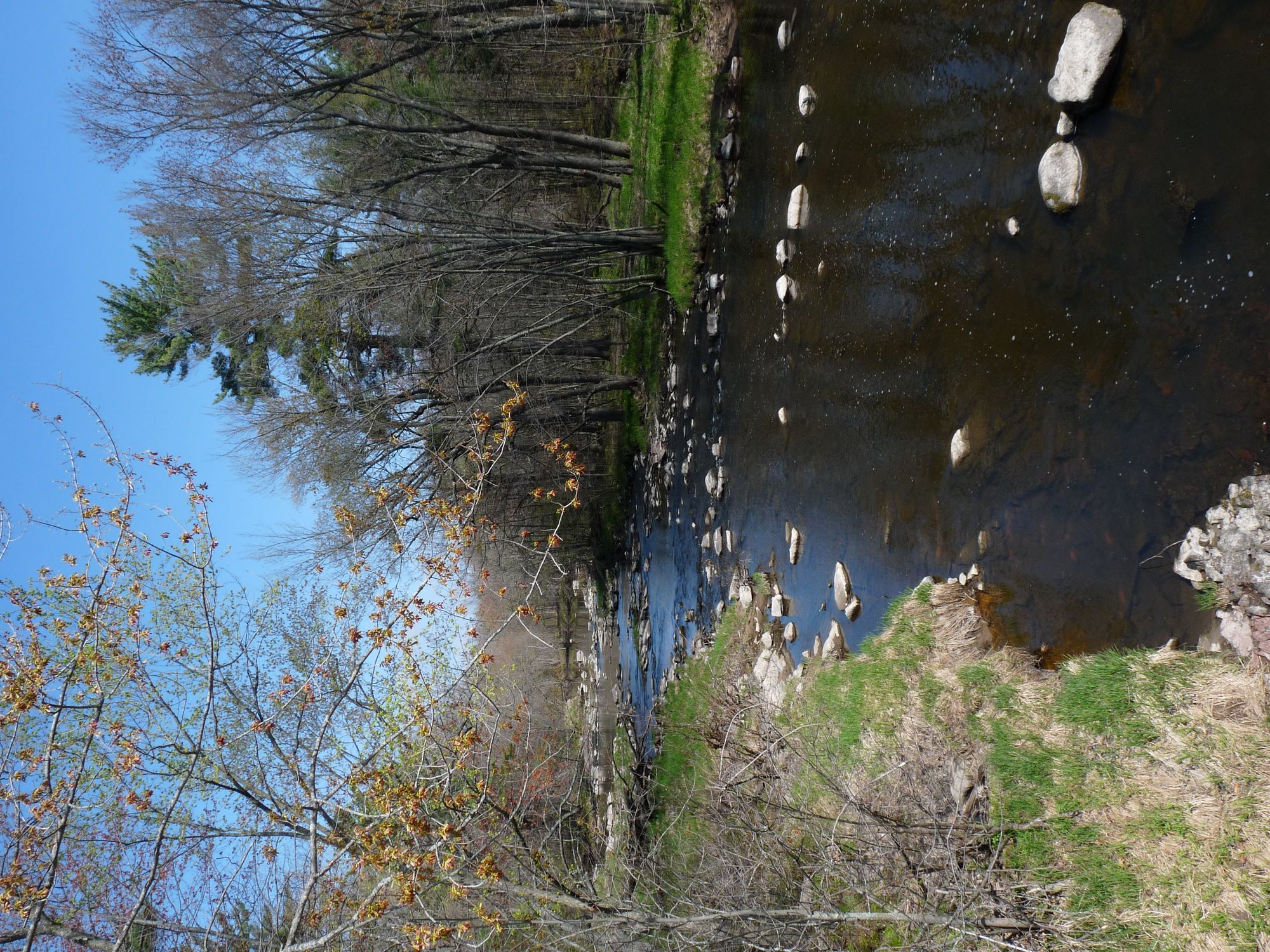
Yellow River
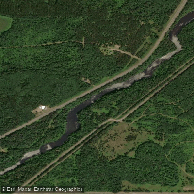
Namekagon River
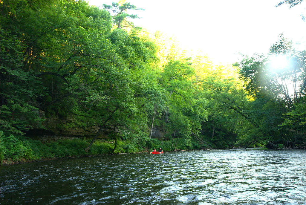
Apple River
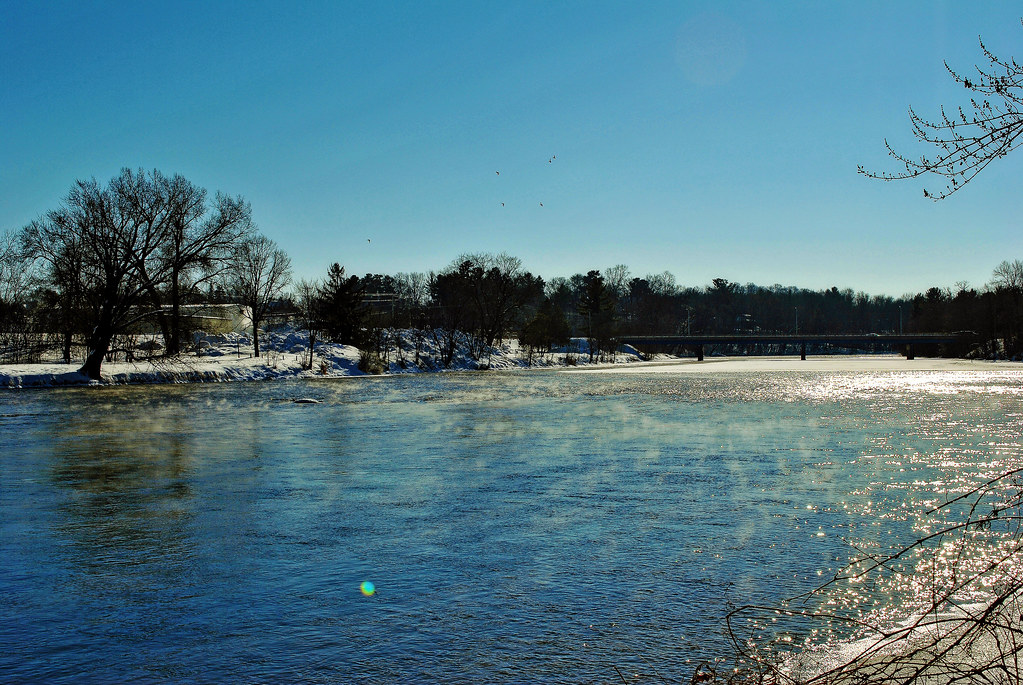
Red Cedar River

Willow River
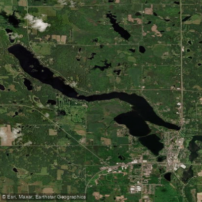
Beaver Dam Lake
Explore Minnesota waters
Top paddling waters
Popular Cities
Loading popular cities...
Explore near Saint Croix River
Access points
- St. Croix River, Snake River Public Water Access Site
- Thayer's Landing Boat Ramp
- Dry Landing Boat Ramp
- St. Croix River Boat Ramp
- Saint Croix River Boat Ramp
- St. Croix River Boat Ramp
- Norway Point Boat Ramp
- City T Boat Ramp
- Osceola Boat Ramp
- Spangler's Landing Boat Ramp
- St. Croix River Boat Ramp
- St. Croix River, Log House Landing Public Water Access Site
- All 130 spots
Nearby waters
More in Minnesota

Smarter Paddling Starts in the App.
Paddleways gives you everything you need to plan smarter, paddle better, and own every trip from first launch to takeout.