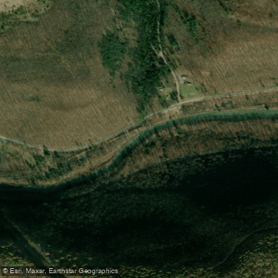
Curated by PaddleWays
RouteFlatwater
- Distance
- 30.3 mi
- Paddle time
- ~10 hrs
- Best for
- Kayak, canoe
- Put-in → take-out
- Bennet Branch Forest Access → Driftwood Access
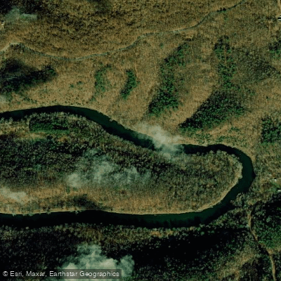
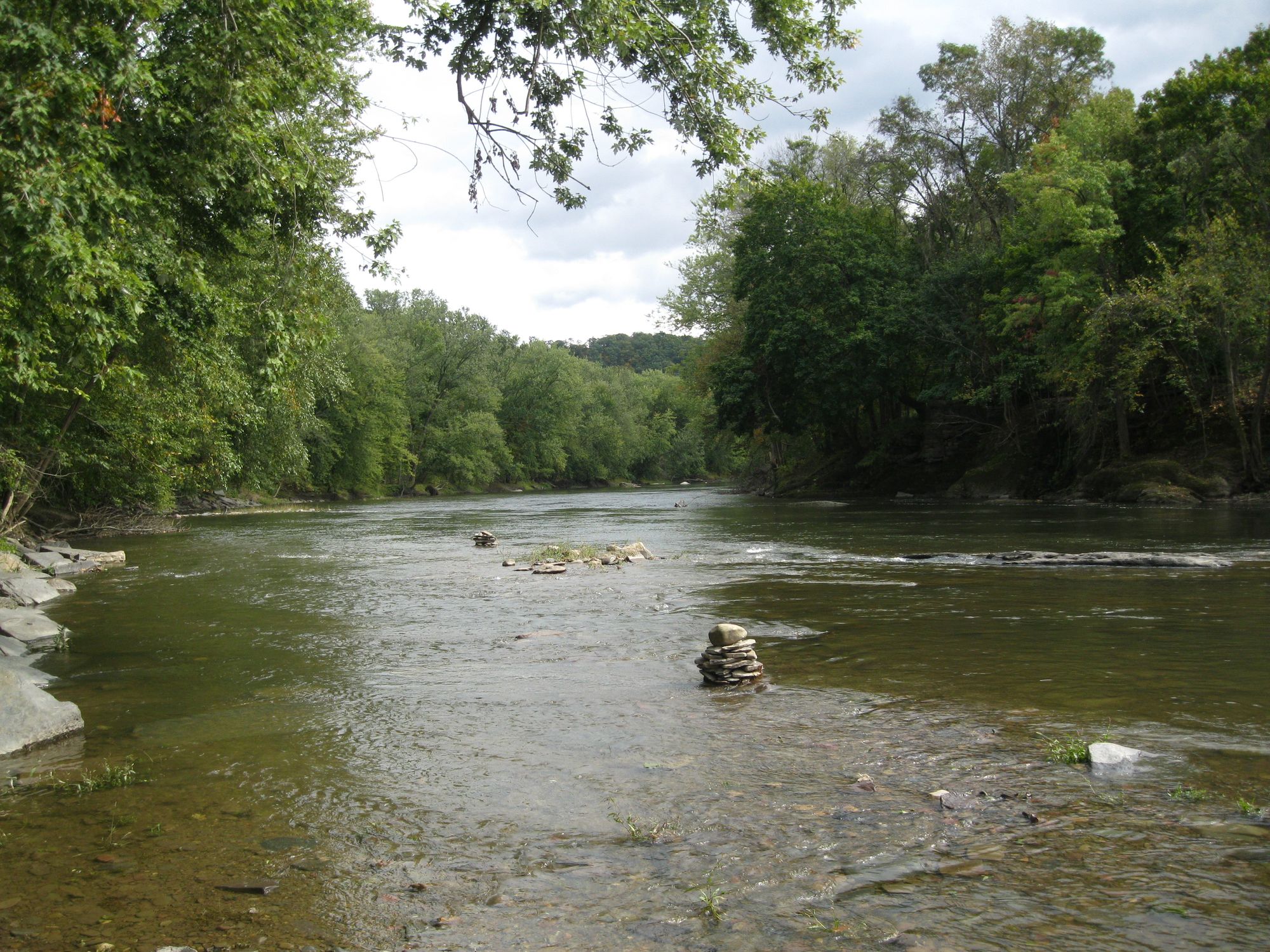
The Bennett Branch Sinnemahoning Creek is a significant tributary of the Sinnemahoning Creek in north-central Pennsylvania. This waterway originates near the village of Force in Elk County and flows northward through the rugged Allegheny Plateau before joining the Driftwood Branch near the town of Driftwood to form the main stem of Sinnemahoning Creek. The Bennett Branch offers paddlers a 10.3-mile water trail through a pristine wilderness corridor. This flatwater section is ideal for canoes and kayaks, making it accessible to paddlers of various skill levels.
The creek meanders through the heart of Pennsylvania's elk country, providing unique opportunities for wildlife viewing and immersion in the region's natural beauty. Paddling is best during spring and early summer when water levels are typically higher. Late summer and fall can offer spectacular foliage views, but paddlers should be prepared for potentially lower water levels. The creek's flow is generally gentle, with no significant rapids, making it suitable for families and novice paddlers.
The surrounding landscape is dominated by mixed hardwood forests, home to a diverse array of wildlife. Paddlers may encounter white-tailed deer, black bears, and, if lucky, catch a glimpse of the area's renowned elk population. The creek's waters support a variety of fish species, including trout, making it a popular destination for anglers as well.
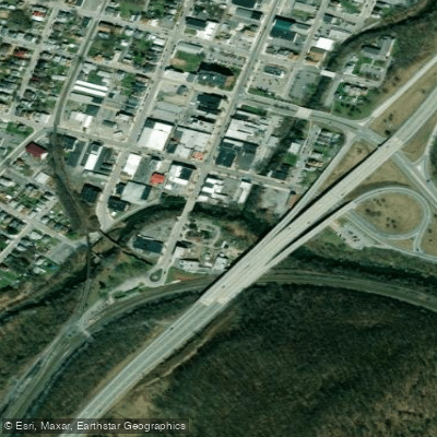
Key access points include the public launch site near Force, which serves as the primary put-in for the water trail. The take-out is located at the confluence with the Driftwood Branch near the town of Driftwood. These access points are managed by the Pennsylvania Fish & Boat Commission, which requires launch permits for non-powered boats.
The Bennett Branch flows through part of the Quehanna Wild Area, one of the largest wilderness tracts in Pennsylvania. This region has a rich history tied to logging and conservation efforts, offering paddlers a journey through both natural and cultural landscapes.
Safety considerations include being prepared for remote wilderness conditions, as much of the creek flows through sparsely populated areas. Paddlers should bring appropriate safety gear, including life jackets, and be aware of potential weather changes. While the 10.3-mile stretch can be completed as a day trip, the surrounding area offers opportunities for multi-day adventures. Camping is available at designated sites along the water trail, allowing paddlers to extend their journey and fully immerse themselves in the Pennsylvania wilderness.
The Bennett Branch Sinnemahoning Creek Water Trail provides a unique blend of accessible paddling, stunning natural scenery, and rich wildlife viewing opportunities, making it a hidden gem for outdoor enthusiasts in the Pennsylvania Wilds region.
Curated routes
Hand-picked by the PaddleWays team, with put-ins, take-outs, paddle times and the hazards along the way.
RouteFlatwater
Hazards
No hazards are marked on Bennett Branch Sinnemahoning Creek yet. That is not the same as none being there: if you find one, report it for the next paddler.
From the community
Nobody has shared a trip on Bennett Branch Sinnemahoning Creek yet. Paddle it, then tell the next paddler how it went.
See exactly where the public can get on and off the river. Launch points and boat ramps are paired with PaddleWays' public land data so you know where you can legally land.
Public shoreline
28%of the river's shoreline is public
Most of the riverbank is private. Launch, land and camp only at public access points.
Flows, weather and a route-by-route verdict, so you know which stretch of the Bennett Branch Sinnemahoning Creek is worth paddling today.
No forecast data available.
Live flows, marked hazards and fresh trip reports from paddlers who were just on the water, all in one place.





Every user gets free access to launch points, boat ramps, and public property parcels.
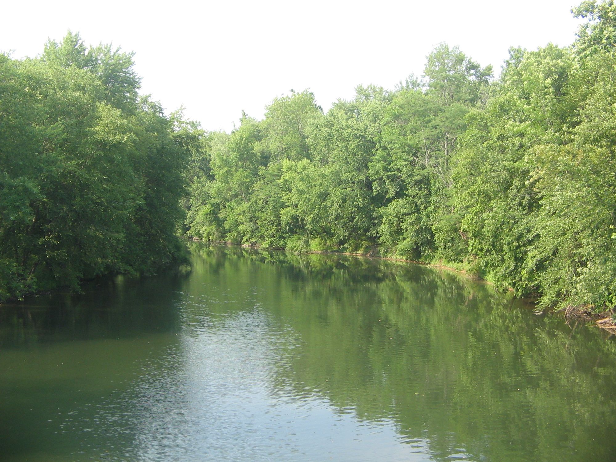
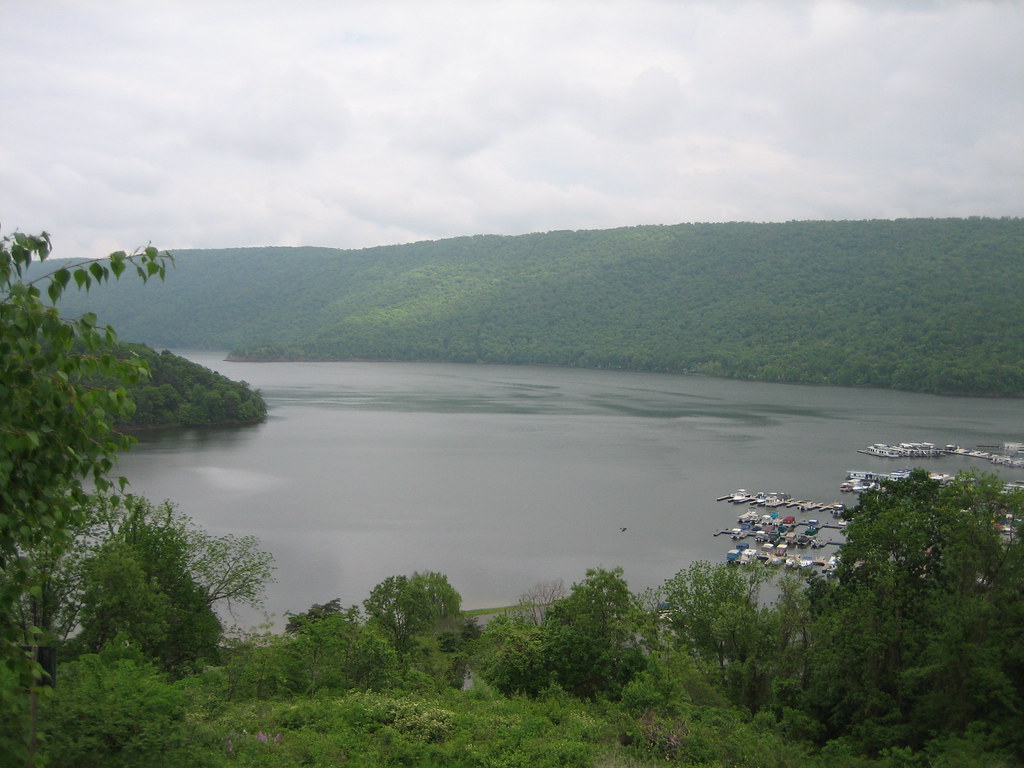
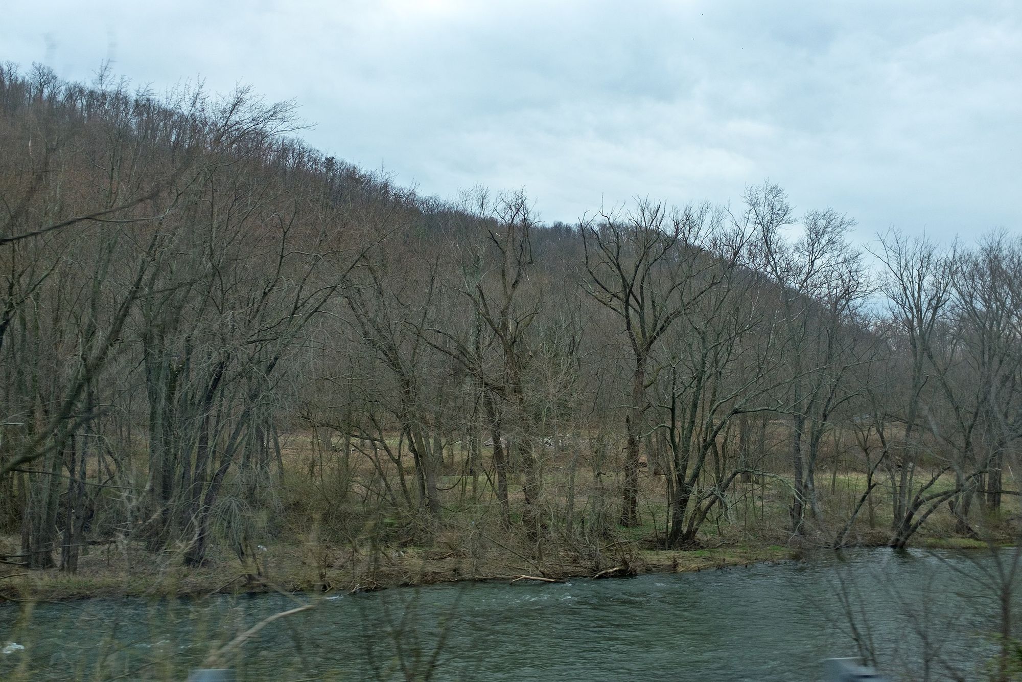
Loading popular cities...
PaddleWays gives you everything you need to plan smarter, paddle better, and own every trip from first launch to takeout.