Curated by PaddleWays
RouteClass I
- Distance
- 8.8 mi
- Paddle time
- 3.5 hrs
- Best for
- Beginners, intermediate paddlers
- Put-in → take-out
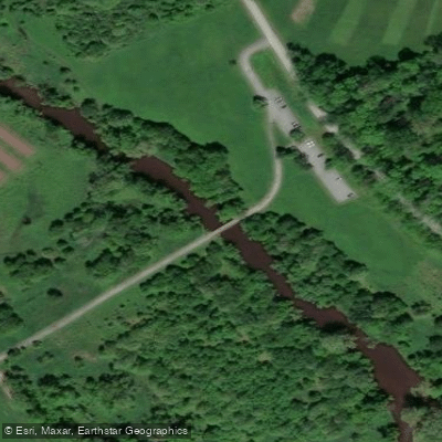
- Downingtown Access → Shaw's Bridge Park Access
Limited parking at Shaw's Bridge Park
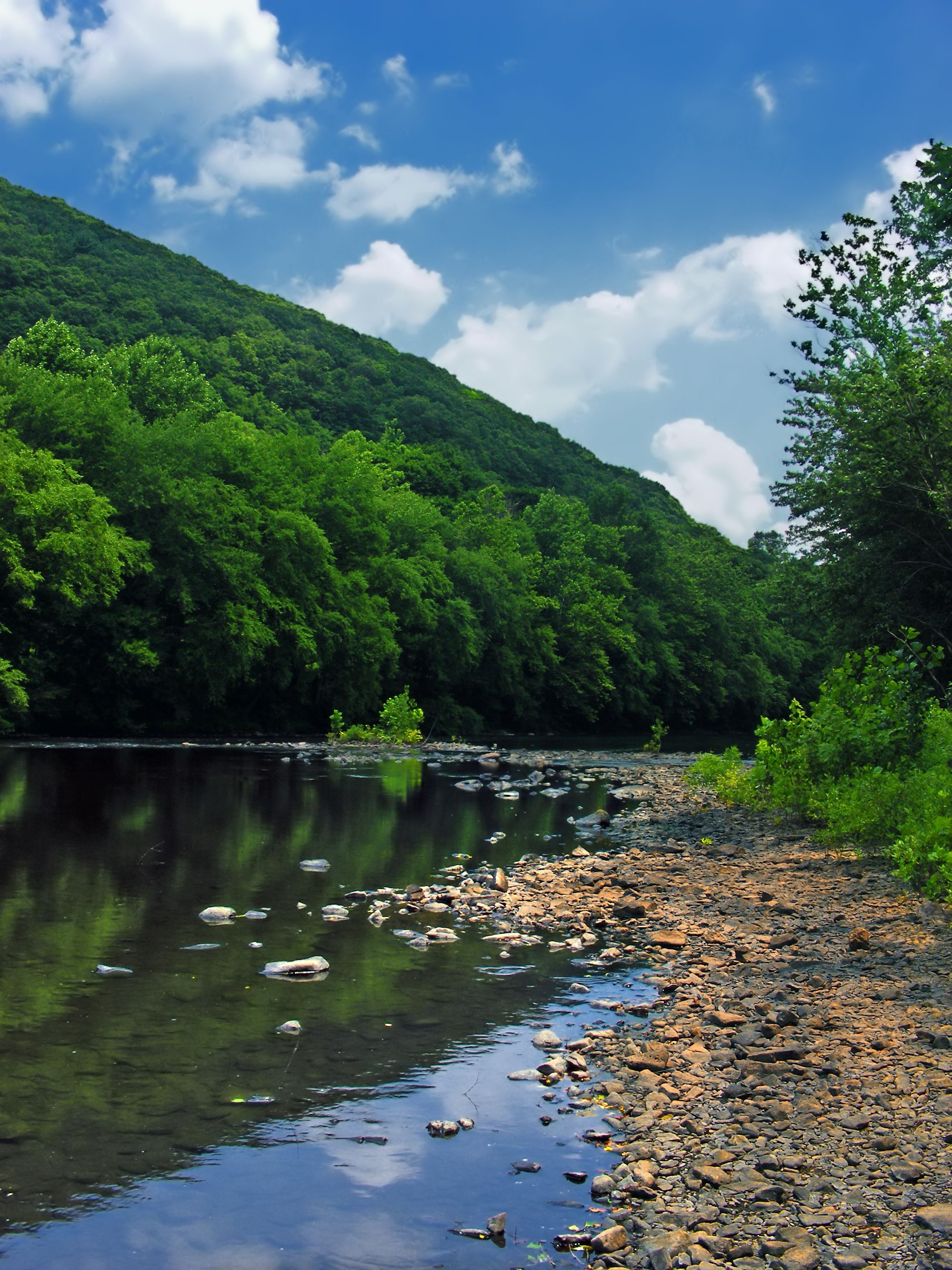
The East Branch Brandywine Creek is a scenic waterway in southeastern Pennsylvania, originating in the Welsh Mountains of Chester County and flowing generally southward for approximately 21 miles before joining the West Branch to form the main stem of Brandywine Creek. This tributary is an integral part of the larger Brandywine Creek watershed, which ultimately drains into the Christina River and Delaware Bay. Paddling opportunities on the East Branch are plentiful, with the most popular section being the 8-mile stretch from Downingtown to Shaw's Bridge Park near West Chester. This run offers a surprisingly secluded experience despite its proximity to urban areas, featuring well-shaded banks that create an illusion of unspoiled woodland.
The creek's difficulty ranges from Class I to II, making it suitable for beginners and intermediate paddlers alike. The water is generally several feet deep with an easy current, allowing for a pleasant 3-4 hour journey. Spring and early summer typically provide the best water levels for paddling, though the creek is often navigable year-round. Autumn offers stunning foliage views, making it another prime season for exploration. The surrounding riparian ecosystem supports a diverse array of flora and fauna, including various fish species, waterfowl, and native plants.
Key landmarks along the East Branch include the historic town of Downingtown, where many paddlers begin their journey, and Shaw's Bridge Park, a popular take-out point with a recently improved boat ramp. The East Branch Brandywine Trail, a multi-use path, parallels portions of the creek, offering additional recreational opportunities. Primary access points include the Downingtown Municipal Government Center for put-in and Shaw's Bridge Park for take-out. Both locations are easily accessible from nearby urban centers like West Chester and Philadelphia, though paddlers should be aware that parking at Shaw's Bridge can be limited, especially on weekends and during summer months.
The East Branch Brandywine Creek holds significant historical and cultural value, having played a role in the region's early industrial development. Today, it serves as an important recreational resource and natural corridor in Chester County. Safety considerations include checking water levels before paddling, as flow can vary with rainfall. Paddlers should also be aware of potential strainers and low-head dams. Local regulations may require the use of personal flotation devices. While primarily suited for day trips, the full 21-mile length of the East Branch could potentially be paddled as a multi-day adventure for those seeking a more extended experience on this charming Pennsylvania waterway.
Curated routes
Hand-picked by the PaddleWays team, with put-ins, take-outs, paddle times and the hazards along the way.
RouteClass I
Hazards
No paddler has reported a hazard here yet, so these are the dams, falls and big rapids on our map. Hazards change with flows and storms, so check them before you launch.
From the community
Real trips from PaddleWays paddlers: which route they ran, how the flows were, and what to watch for.
Loading trip reports
Joe T.
Downingtown to Shaw's Bridge Park• 63 cfs at Downingtown
Sugar’s Bridge Nature Area to Shaw's Bridge Park Access
See exactly where the public can get on and off the river. Launch points and boat ramps are paired with PaddleWays' public land data so you know where you can legally land.
Public shoreline
57%of the river's shoreline is public
Flows, weather and a route-by-route verdict, so you know which stretch of the East Branch Brandywine Creek is worth paddling today.
All Flow Stations
Live flows, marked hazards and fresh trip reports from paddlers who were just on the water, all in one place.





Every user gets free access to launch points, boat ramps, and public property parcels.

Loading popular cities...
PaddleWays gives you everything you need to plan smarter, paddle better, and own every trip from first launch to takeout.