Christina River
- Saltwater
- Tidal river
Christina River
- Saltwater
- Tidal river
- Sq. miles
- 0.6
- Boat Ramps
- 2
- Access Points
- 3
- Campsites
- 0
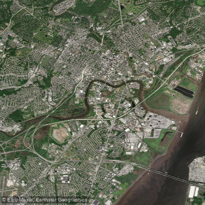
The Christina River is a 35-mile tidal river flowing through Delaware to the Delaware River at Wilmington. Its character changes significantly along its length, from developed urban waterfronts to more natural upper reaches. Paddlers should be aware that tidal currents are a primary factor, especially in the lower sections near Wilmington, requiring planning to paddle with or against the flow. The river is generally suitable for paddlers of all skill levels, with conditions described as having a gentle moving water and mild current in areas like the Churchmans Road access.
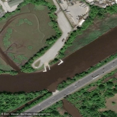
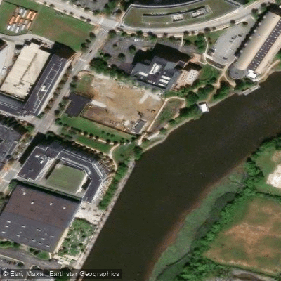
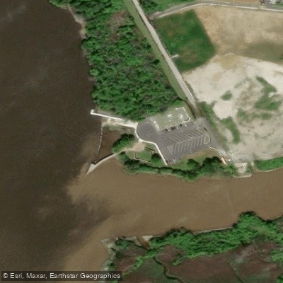
Key public launch facilities include the Churchmans Road Boat Launch, a free public ramp with parking located at 620 Churchmans Road, providing access to the upper reaches. In Wilmington, the DuPont Environmental Education Center at 1400 Delmarva Lane serves as a launch point for trips into the adjacent Russel W. Peterson Urban Wildlife Refuge, a major attraction featuring tranquil wetland habitat. Other major points of interest along the river include the Christina Riverfront and the Jack A. Markell Trail. The historic Cooch-Dayett Mills near Newark is also noted. The river sees use from various boaters, and the lower section passes the active Port of Wilmington, indicating the potential for significant commercial boat traffic and the need for caution in channel crossings.
The best seasons for paddling are spring, summer, and fall, with trips often planned from March through November. The river supports a range of wildlife, including Great Blue Herons and American Beavers in the marsh areas.
Water access, boat ramps & amenities
Learn how to get on Christina River. Uncover great paddling access points, boat ramps, and all the facilities you need for an unforgettable day on the water. Some locations shown may border or include private property. Always check property boundaries and applicable regulations before visiting. PaddleWays's Public & Private Land layer can help you plan your access with confidence.
Paddle smarter with real-time insights
Whether you're en route and conditions shift or you're looking for the best spot based on current flows, we enable you to make informed decisions on the fly.








Find Places to Paddle

Over 400,000 Places to Paddle
Every user gets free access to launch points, boat ramps, and public property parcels.


Tides, wind & water conditions (10 day forecast)
On open water, wind and tide matter as much as the weather. See the best times to paddle Christina River and check the marine forecast before you launch.
Loading tide predictions…
Paddling near Christina River

Delaware River
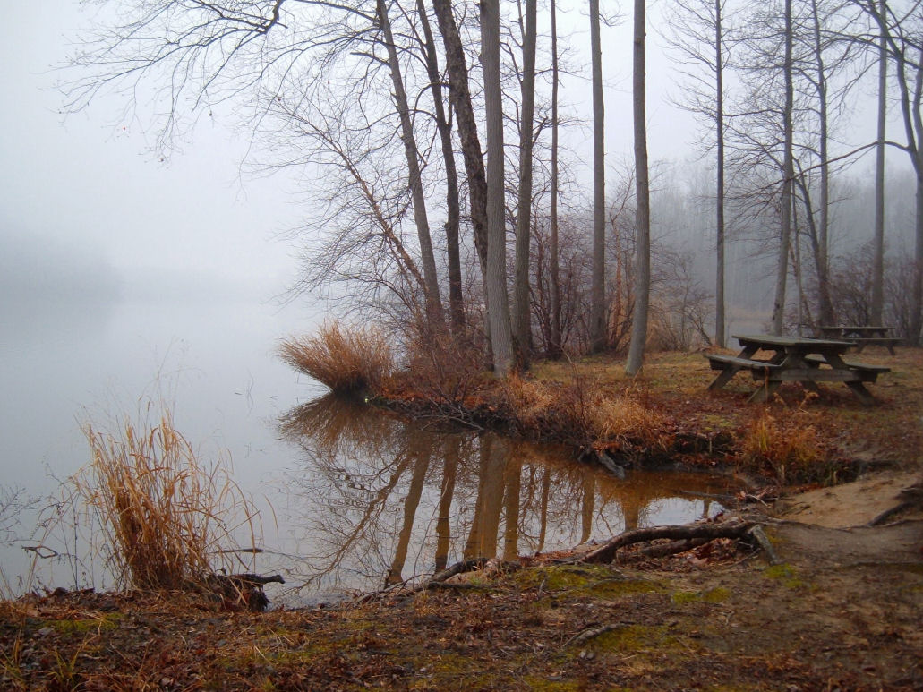
Lums Pond
Pine Island Meadow
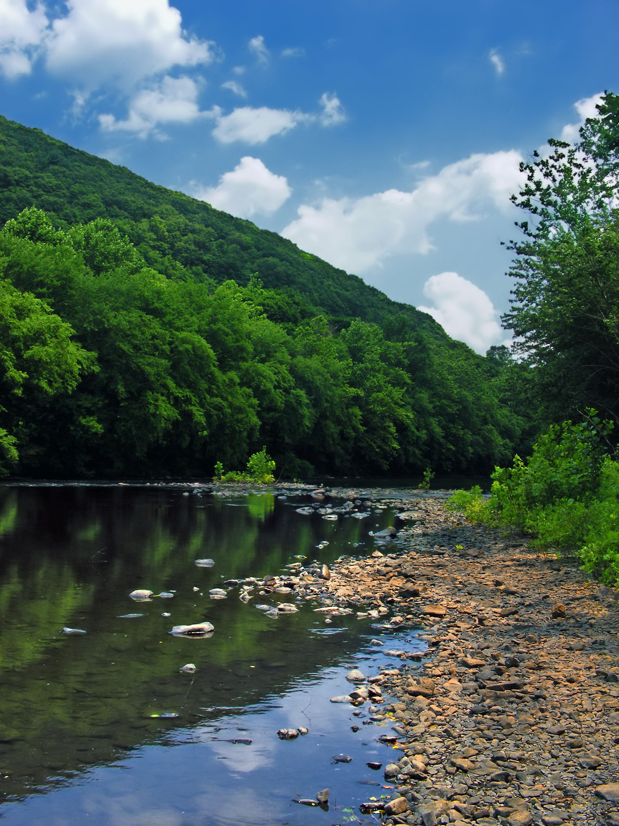
Schuylkill River
Salem River

Susquehanna River
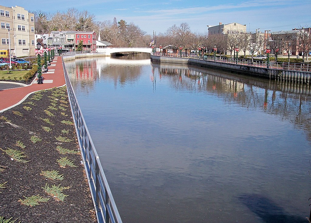
Cohansey River
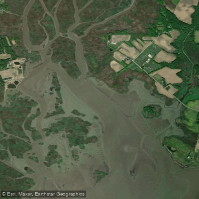
Kates Creek Meadow
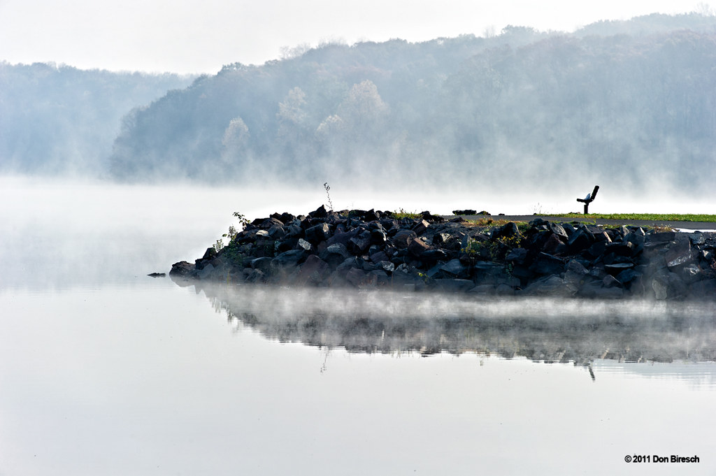
Lake Nockamixon
Explore Delaware waters
Top paddling waters
Popular Cities
Loading popular cities...
Explore near Christina River
Access points
Nearby waters
More in Delaware

Smarter Paddling Starts in the App.
Paddleways gives you everything you need to plan smarter, paddle better, and own every trip from first launch to takeout.