Curated by PaddleWays
RouteClass II
- Distance
- 32.7 mi
- Paddle time
- Multi-day
- Put-in → take-out
- Crandall Rd Bridge Access → Sinnemahoning Boat Ramp
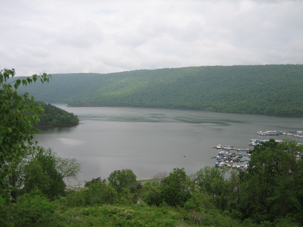
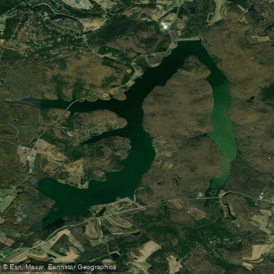
George B. Stevenson Dam on reservoir
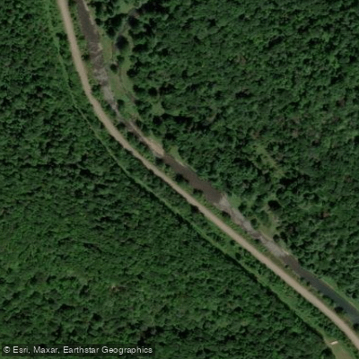
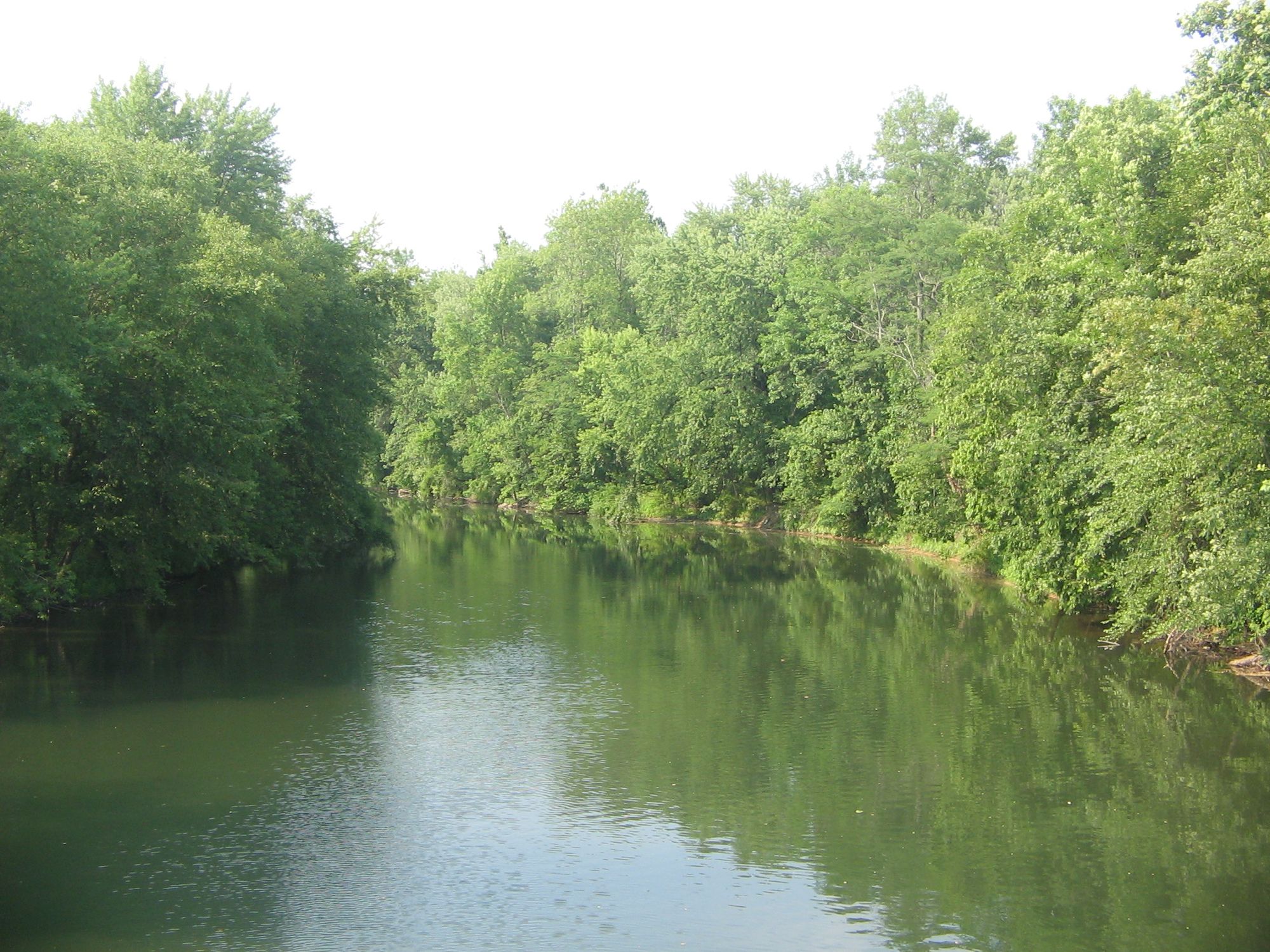
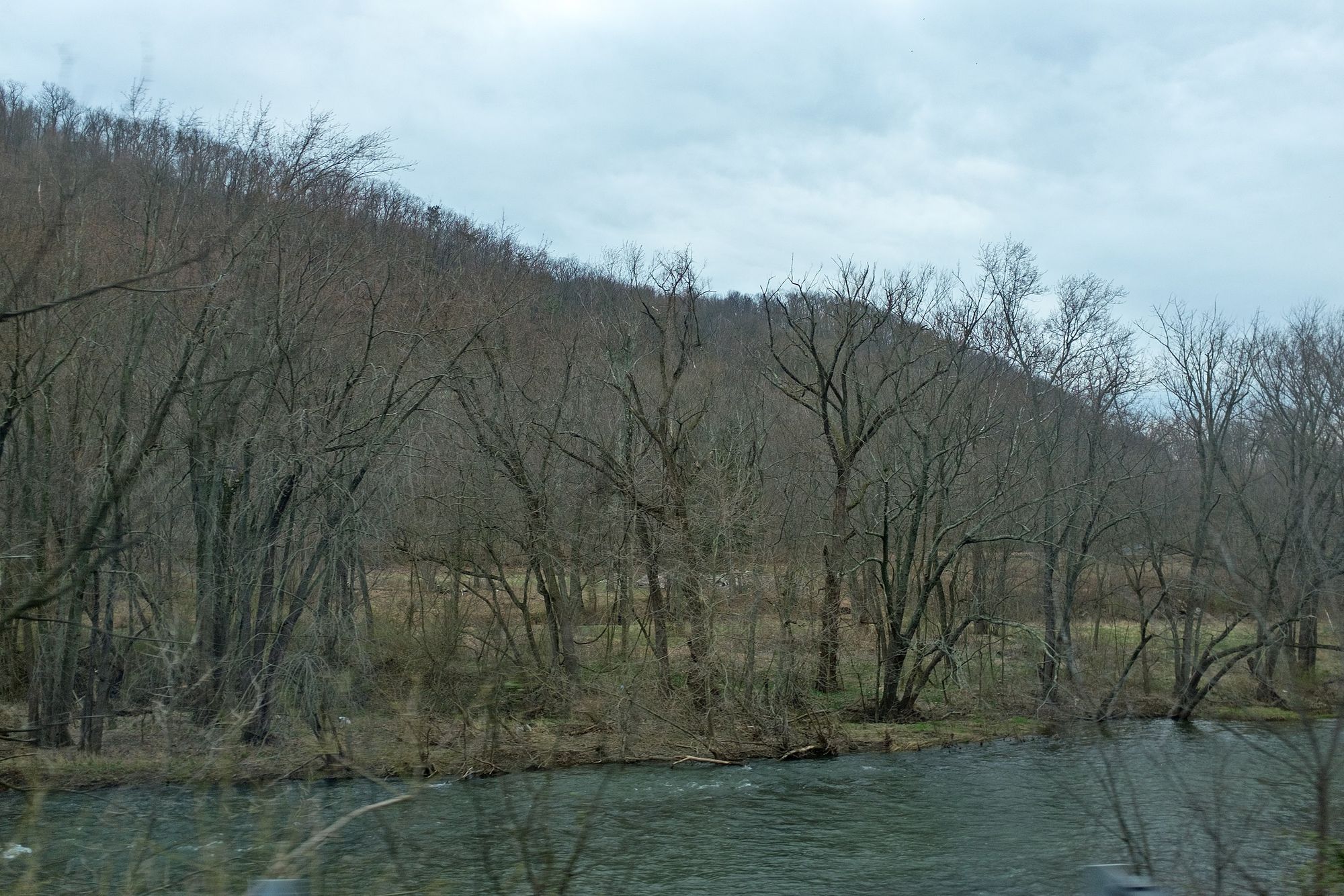
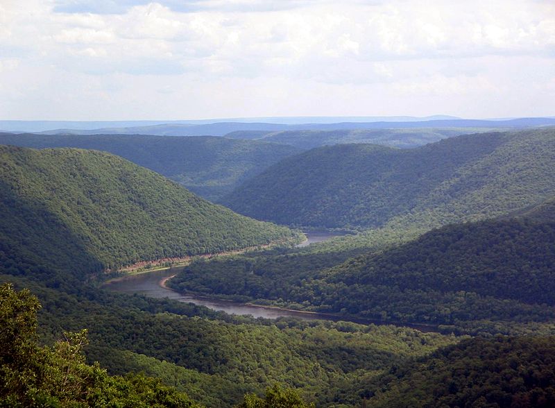
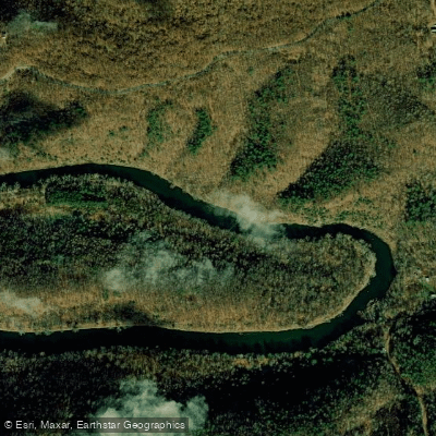
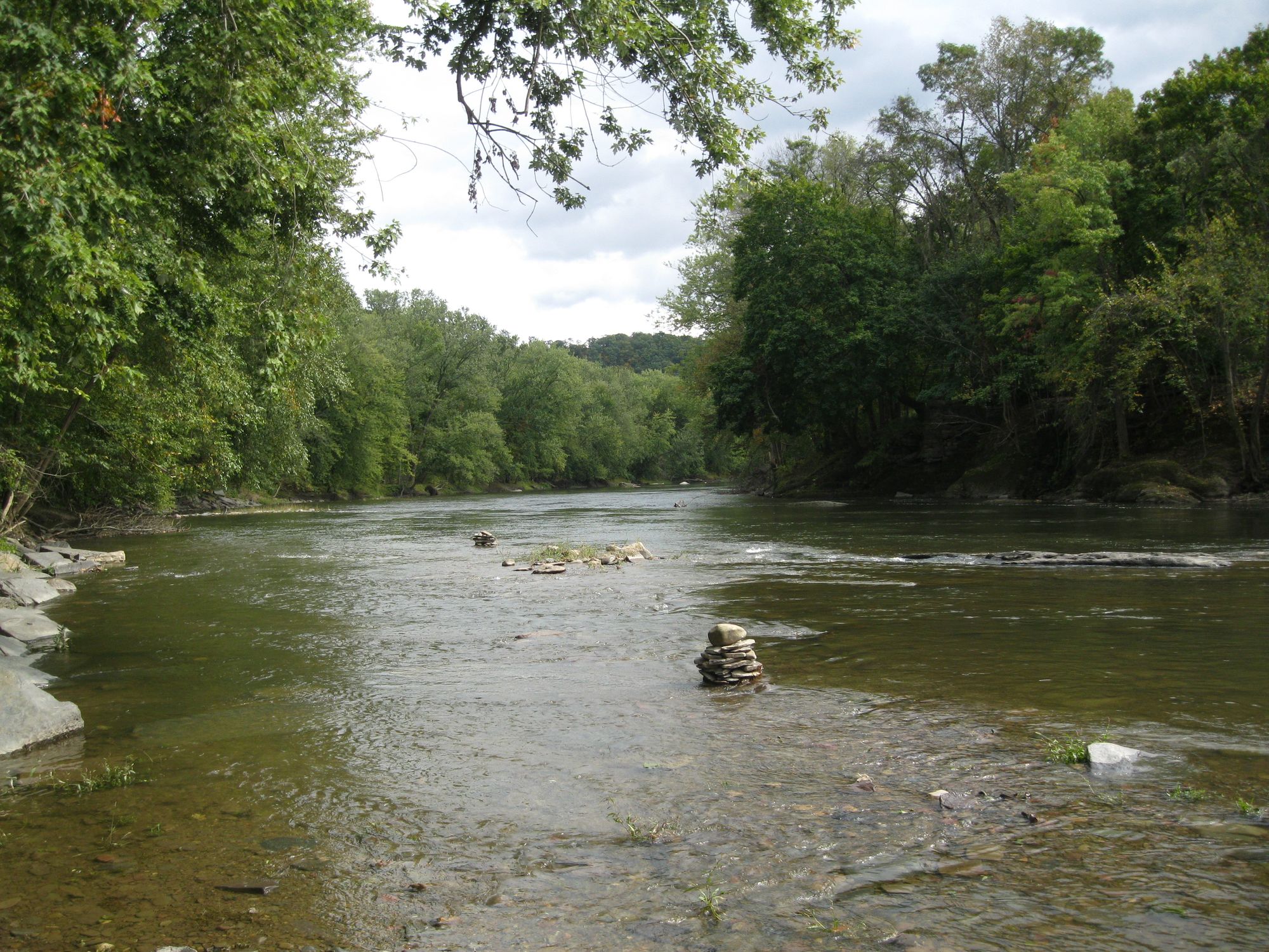
First Fork Sinnemahoning Creek is a scenic 33.4-mile tributary of Sinnemahoning Creek in north-central Pennsylvania. The creek originates south of Coudersport and flows southward through Potter and Cameron counties, joining Sinnemahoning Creek at the community of Sinnemahoning. Its primary watershed is part of the larger West Branch Susquehanna River system. Paddlers can enjoy diverse experiences along First Fork, from flatwater paddling on the 142-acre George B. Stevenson Reservoir to gentle rapids downstream. The creek offers opportunities for both day trips and longer adventures. The difficulty ranges from flatwater to Class II, making it suitable for beginners to intermediate paddlers.
Spring and early summer typically provide the best water levels for paddling, coinciding with excellent mayfly hatches that attract fly fishermen. Fall offers scenic foliage views, though water levels may be lower. The creek is renowned for its trout fishing, supporting populations of wild brown and native brook trout. Wildlife viewing opportunities abound, with the chance to spot elk, black bears, and various bird species in the surrounding forests.
Key landmarks include Sinnemahoning State Park, home to the George B. Stevenson Dam and Reservoir. The park's Wildlife Center offers interpretive exhibits and viewing opportunities. Highway 120 parallels much of the creek, providing easy access but limiting wilderness camping options. Primary access points include: 1. South of Coudersport (put-in for full run) 2. Sinnemahoning State Park (reservoir access) 3. Bailey Run (start of lower section) 4. Sinnemahoning (take-out for full run)
Historically, the area was shaped by logging and later conservation efforts. The George B. Stevenson Dam, completed in 1955, was part of a larger flood control project on the West Branch Susquehanna River. Safety considerations include checking water levels, especially below the dam where releases can affect conditions. Anglers should be aware of special regulations on certain sections, particularly the 2.1-mile stretch downstream from Bailey Run.
While multi-day trips are possible, established campsites are limited along the creek. Paddlers planning overnight adventures should research permitted camping areas in advance and practice Leave No Trace principles. The First Fork Sinnemahoning Creek offers a quintessential Pennsylvania wilderness experience, blending scenic beauty, wildlife encounters, and recreational opportunities in a less-traveled corner of the state.
Curated routes
Hand-picked by the PaddleWays team, with put-ins, take-outs, paddle times and the hazards along the way.
RouteClass II
Hazards
No paddler has reported a hazard here yet, so these are the dams, falls and big rapids on our map. Hazards change with flows and storms, so check them before you launch.
From the community
Nobody has shared a trip on First Fork Sinnemahoning Creek yet. Paddle it, then tell the next paddler how it went.
See exactly where the public can get on and off the river. Launch points and boat ramps are paired with PaddleWays' public land data so you know where you can legally land.
Public shoreline
46%of the river's shoreline is public
Most of the riverbank is private. Launch, land and camp only at public access points.
Flows, weather and a route-by-route verdict, so you know which stretch of the First Fork Sinnemahoning Creek is worth paddling today.
All Flow Stations
Live flows, marked hazards and fresh trip reports from paddlers who were just on the water, all in one place.





Every user gets free access to launch points, boat ramps, and public property parcels.
Loading popular cities...
PaddleWays gives you everything you need to plan smarter, paddle better, and own every trip from first launch to takeout.