Loyalhanna Creek
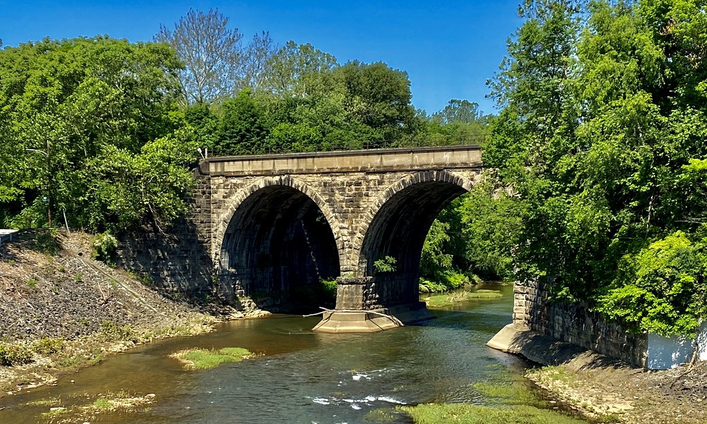
Loyalhanna Creek
- Boat Ramps
- 13
- Access Points
- 38
- Campsites
- 4
Loyalhanna Creek is a scenic waterway in southwestern Pennsylvania that offers diverse paddling experiences for kayakers and canoeists. The creek originates near Stahlstown in the Laurel Highlands and flows northwestward for approximately 50 miles before joining the Conemaugh River at Saltsburg to form the Kiskiminetas River. The creek features several distinct paddling sections, ranging from challenging whitewater near its headwaters to gentle flatwater as it approaches Loyalhanna Lake.
The upper section from Rector to Ligonier offers Class II-IV rapids over 5.9 miles, suitable for intermediate to advanced paddlers. Downstream, the creek mellows, with the 8-mile stretch from Ligonier to Kingston Dam providing Class II waters popular among trout anglers. Below Kingston Dam, paddlers can enjoy a 6-mile Class I-II section to Latrobe, followed by a scenic 9-mile flatwater paddle to New Alexandria. This latter section is featured in the annual Loyalhanna Sojourn community paddling event. The final stretch from New Alexandria to Loyalhanna Lake offers 6-8.5 miles of slow-moving water before entering the lake's backwaters.
Loyalhanna Creek is best paddled in spring or after significant rainfall when flows exceed 250 cubic feet per second. The surrounding landscape transitions from the forested Laurel Highlands to pastoral countryside, providing habitat for diverse wildlife including trout, waterfowl, and riparian mammals. Key access points include Rector, Ligonier, Kingston Dam, Latrobe (Cardinal Park), New Alexandria (Gray Wing Park), and the Bush Recreation Area at Loyalhanna Lake.
Paddlers should be aware of several dams, particularly Kingston Dam, which requires a portage. The creek holds historical significance, with the Loyalhanna Dam constructed in 1942 as part of a flood control project. Today, the creek and surrounding area offer recreational opportunities including fishing, hiking, and wildlife viewing in addition to paddling.
Safety considerations include being prepared for varying water levels, cold water in spring, and portaging around dams. Paddlers should check flow levels before trips and be aware of their skill limitations, especially on the more challenging upper sections. For those seeking a multi-day adventure, it's possible to combine sections for longer trips, with camping available at certain access points. The creek's diverse character makes it an excellent destination for paddlers to experience a range of water conditions while exploring the natural beauty of southwestern Pennsylvania.
Water access, boat ramps & amenities
Learn how to get on Loyalhanna Creek. Uncover great paddling access points, boat ramps, and all the facilities you need for an unforgettable day on the water. Some locations shown may border or include private property. Always check property boundaries and applicable regulations before visiting. PaddleWays's Public & Private Land layer can help you plan your access with confidence.
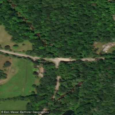
Rector Access
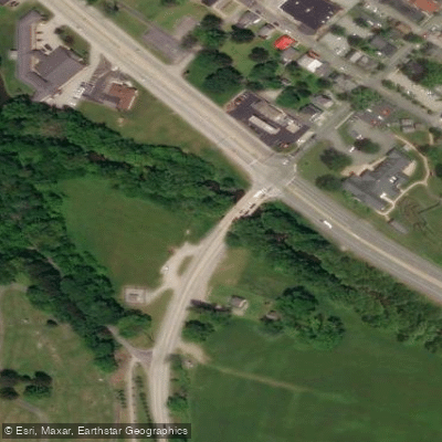
Ligonier Access
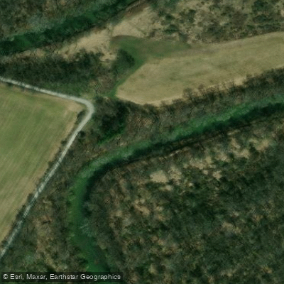
Salem Access
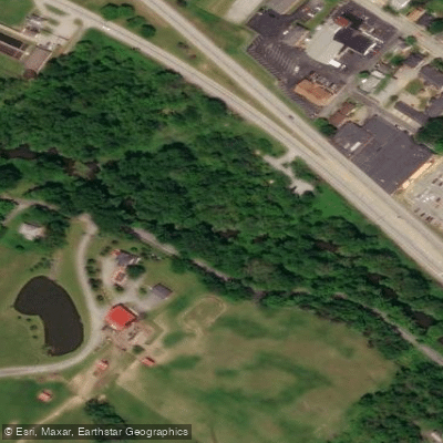
Loyalhanna Nature Trail Access
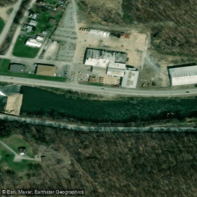
Kingston Access
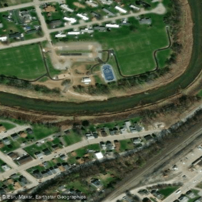
Cardinal Park Access
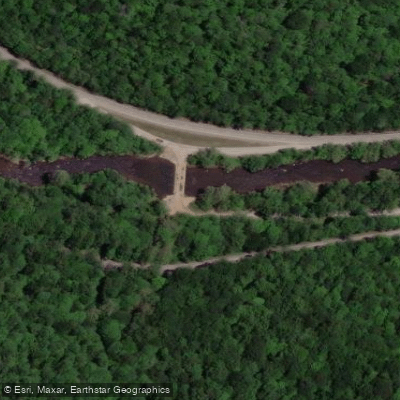
Lincoln Highway Access
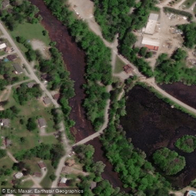
Idlewild Hill Road
Mannitto Access
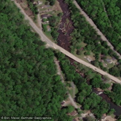
Four Mile Run Access
Paddle smarter with real-time insights
Whether you're en route and conditions shift or you're looking for the best spot based on current flows, we enable you to make informed decisions on the fly.








Find Places to Paddle

Over 400,000 Places to Paddle
Every user gets free access to launch points, boat ramps, and public property parcels.


Water and weather conditions (10 day forecast)
See the best times to paddle Loyalhanna Creek and check the forecast before you go.
Loyalhanna Creek at Latrobe, PA
All Flow Stations
Paddling near Loyalhanna Creek
Allegheny River

Ohio River
Lake Arthur
Beaver River
West Branch Susquehanna River
Casselman River
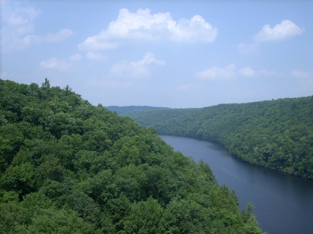
Clarion River
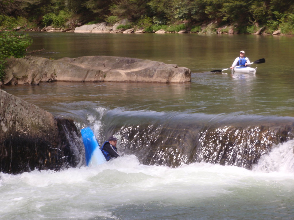
Muddy Creek
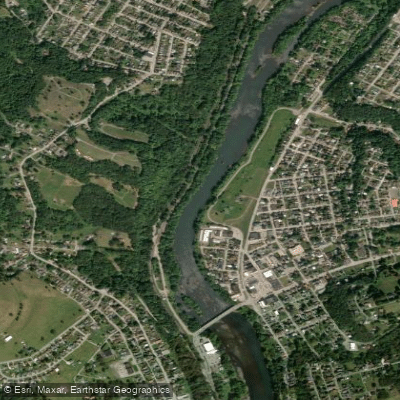
Kiskiminetas River
Explore Pennsylvania waters
Top paddling waters
Popular Cities
Loading popular cities...
Explore near Loyalhanna Creek
Access points
Nearby waters
More in Pennsylvania

Smarter Paddling Starts in the App.
Paddleways gives you everything you need to plan smarter, paddle better, and own every trip from first launch to takeout.